Aldbury
Settlement in Hertfordshire Dacorum
England
Aldbury
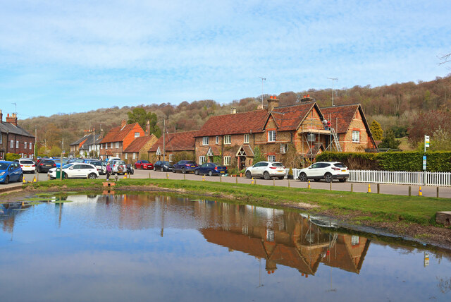
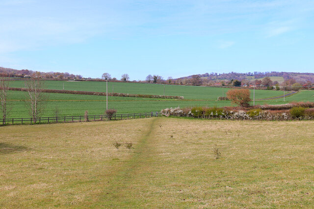
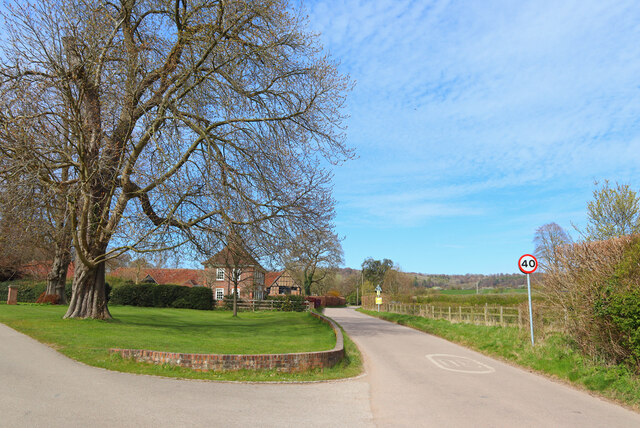
Aldbury is a picturesque village located in the county of Hertfordshire, England. Situated on the edge of the Chiltern Hills, it is surrounded by stunning countryside and offers a peaceful and idyllic setting for its residents. The village is part of the larger civil parish of Aldbury and Wigginton and is located just four miles north-west of the town of Hemel Hempstead.
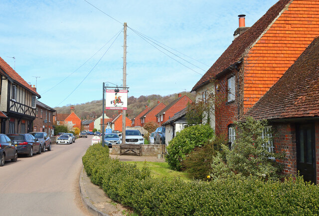
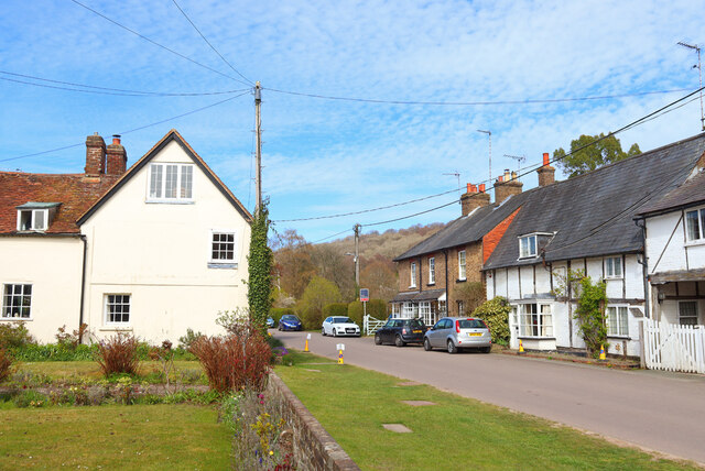
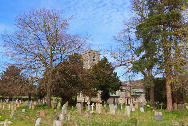
The village is known for its traditional architecture, featuring a charming mix of thatched cottages, red-brick houses, and timber-framed buildings. The heart of Aldbury is dominated by the picturesque village green, which is surrounded by a cluster of historic buildings, including the 14th-century Church of St. John the Baptist. The green itself serves as a focal point for community events and is a popular spot for locals and visitors alike to relax and enjoy the beautiful surroundings.
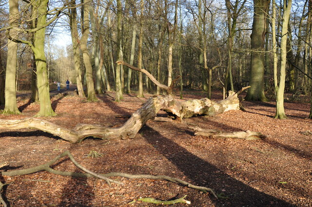
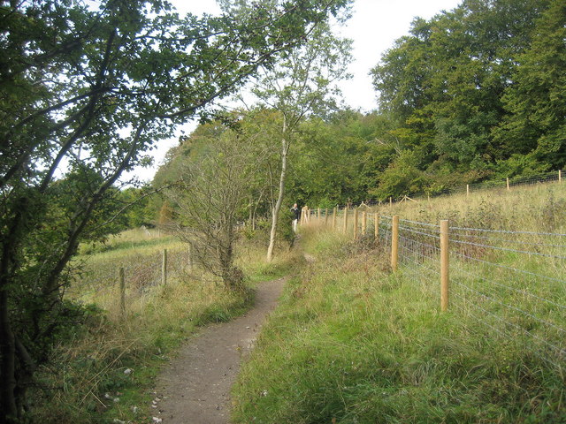
Aldbury boasts several amenities to cater to its residents' needs, including a village shop, a post office, and a village hall. For those seeking outdoor activities, the nearby Ashridge Estate offers miles of walking and cycling trails, with stunning views of the surrounding countryside. The village is also home to the renowned Greyhound Inn, a traditional pub dating back to the 16th century, which offers a warm and friendly atmosphere and serves delicious food and drinks.
Overall, Aldbury is a charming and quintessential English village, offering a tranquil and picturesque setting for its residents, while also providing easy access to nearby towns and amenities.
If you have any feedback on the listing, please let us know in the comments section below.
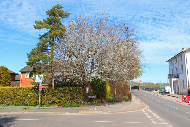
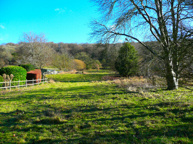
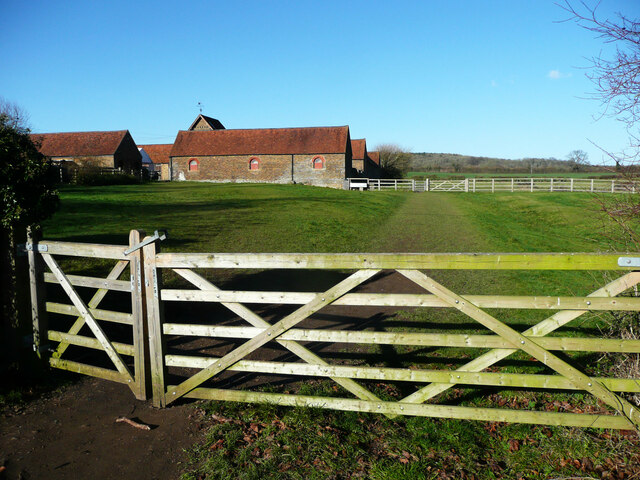
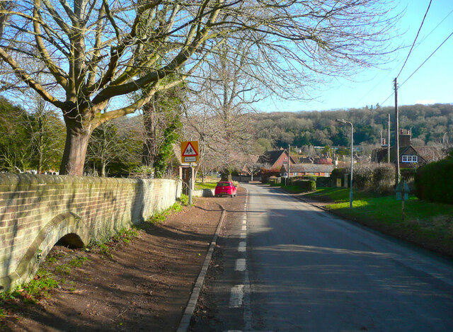
Aldbury Images
Images are sourced within 2km of 51.802117/-0.602094 or Grid Reference SP9612. Thanks to Geograph Open Source API. All images are credited.
Aldbury is located at Grid Ref: SP9612 (Lat: 51.802117, Lng: -0.602094)
Administrative County: Hertfordshire
District: Dacorum
Police Authority: Hertfordshire
What 3 Words
///yelled.handle.pure. Near Tring, Hertfordshire
Related Wikis

Aldbury
Aldbury () is a village and civil parish in Hertfordshire, England, near the borders of Buckinghamshire and Bedfordshire in the Bulbourne valley of the...

1954 Aldbury Valetta accident
On 6 January 1954 WJ474 a twin-engined Vickers Valetta training aircraft of No. 2 Air Navigation School Royal Air Force crashed near RAF Bovingdon just...
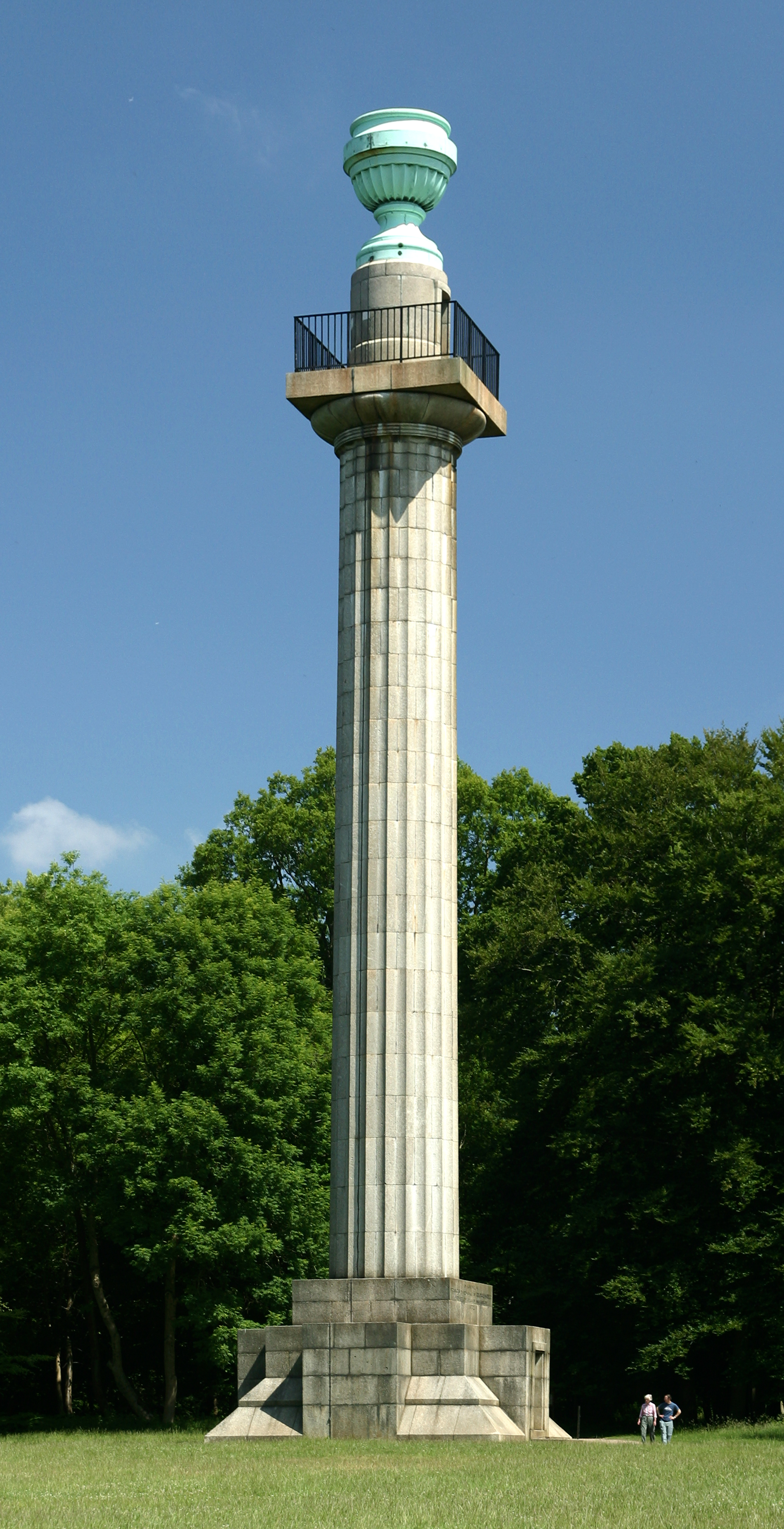
Bridgewater Monument
The Bridgewater Monument is a Grade II* listed monumental column in the Ashridge estate in Hertfordshire, England. It was built in 1832 to commemorate...

Barley End
Barley End is a hamlet within the parish of Pitstone(where the 2011 Census population was included) in Buckinghamshire, England.

Stocks House
Stocks Manor House is a large Georgian mansion, built in 1773. It is the largest property in the village of Aldbury, Hertfordshire. Stocks House and its...

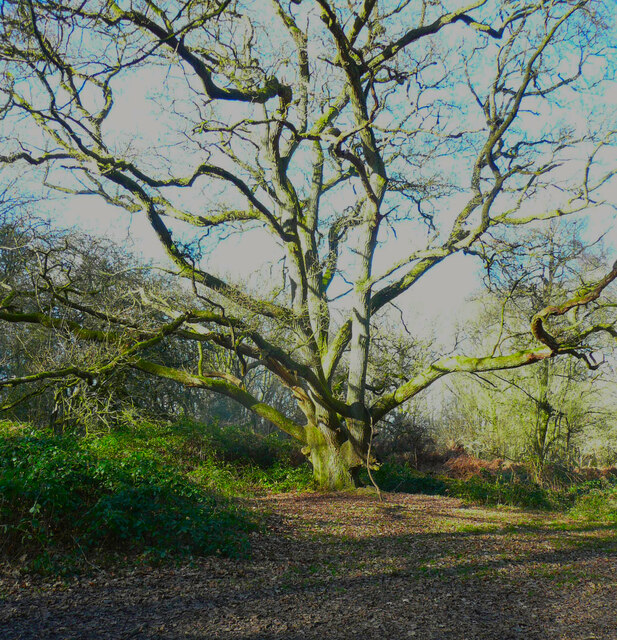
Ashridge Commons and Woods
Ashridge Commons and Woods is a 640.1 hectare biological Site of Special Scientific Interest in Buckinghamshire and Hertfordshire. It is located in Little...
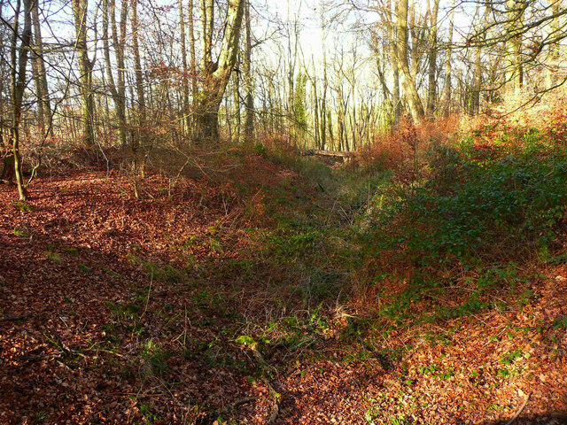
Aldbury Nowers
Aldbury Nowers is a 19.7 hectares (49 acres) biological Site of Special Scientific Interest (SSSI) in the Chiltern Hills, north-east of Tring in Hertfordshire...

Cow Roast
Cow Roast (sometimes written as Cowroast) is a hamlet within the civil parishes of Northchurch and Wigginton in Hertfordshire, England. It is between Tring...
Nearby Amenities
Located within 500m of 51.802117,-0.602094Have you been to Aldbury?
Leave your review of Aldbury below (or comments, questions and feedback).