Aldbrough
Civil Parish in Yorkshire Richmondshire
England
Aldbrough
Aldbrough is a civil parish located in the East Riding of Yorkshire, England. It is situated on the Holderness coast, approximately 12 miles northeast of the city of Hull. The parish covers an area of around 6 square miles and is home to a population of approximately 1,000 people.
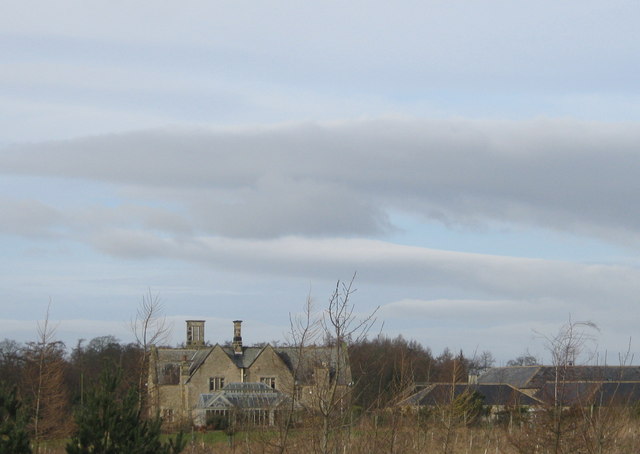
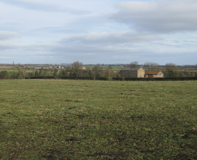
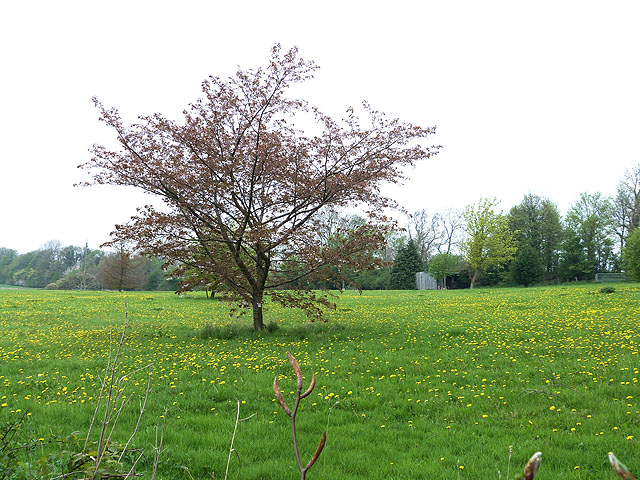
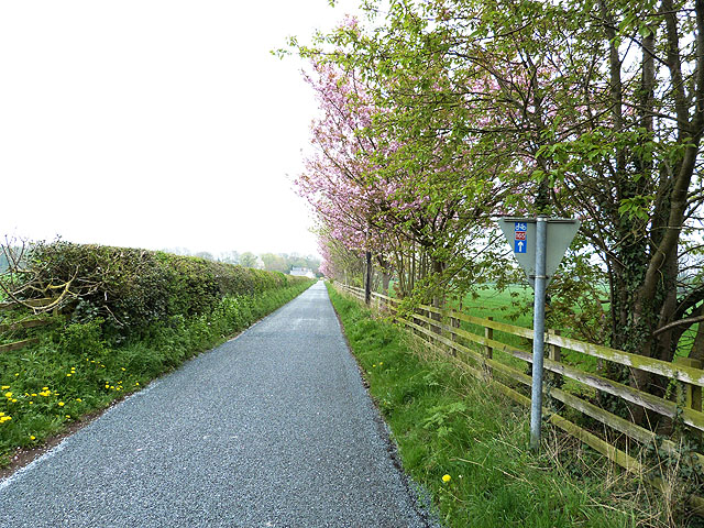
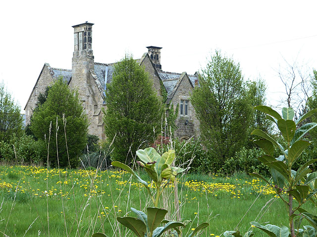
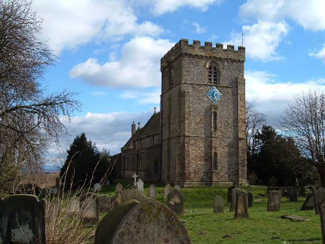
Aldbrough is a traditional rural village with a rich history dating back to Roman times. The village is known for its charming and picturesque setting, surrounded by rolling farmland and beautiful countryside. The village itself features a mix of old and new buildings, including a 12th-century church, St. Bartholomew's, which is a notable architectural landmark in the area.
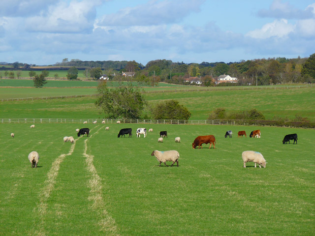
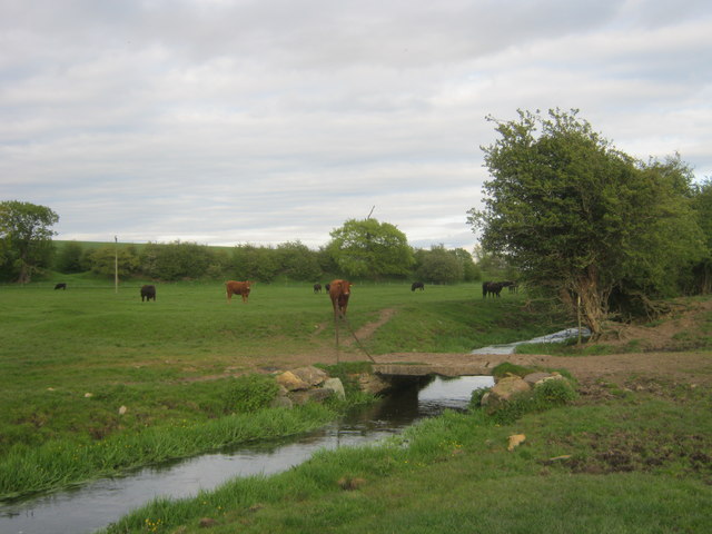
The economy of Aldbrough is primarily based on agriculture and farming, with many residents involved in the industry. The village has a small number of local shops and amenities, including a post office, a village hall, and a couple of pubs. The parish also has a primary school, providing education for the local children.
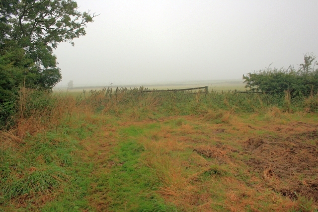
Aldbrough is well-known for its close proximity to the stunning Yorkshire coastline. The village is just a short distance from the beach, which attracts tourists and locals alike, particularly during the summer months. The beach is a popular destination for walking, birdwatching, and enjoying the scenic views.
Overall, Aldbrough is a charming and rural village that offers a peaceful and idyllic setting for its residents. Its rich history, beautiful surroundings, and convenient location near the coast make it an attractive place to live or visit.
If you have any feedback on the listing, please let us know in the comments section below.
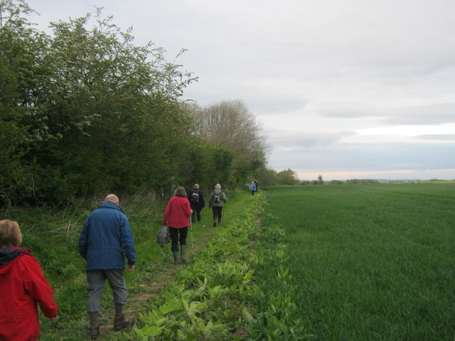
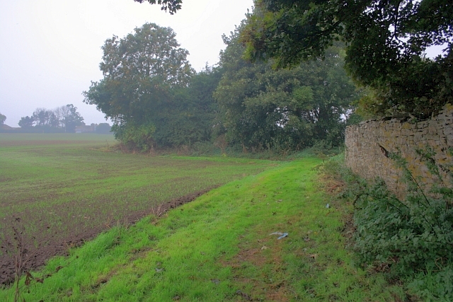
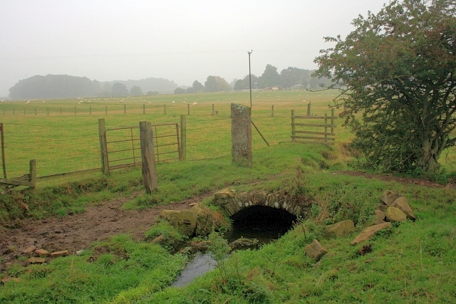
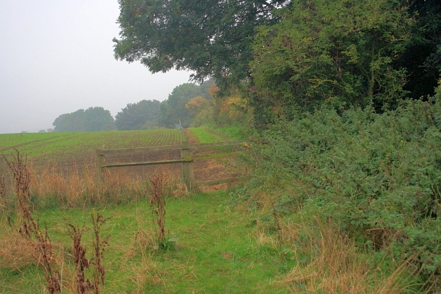
Aldbrough Images
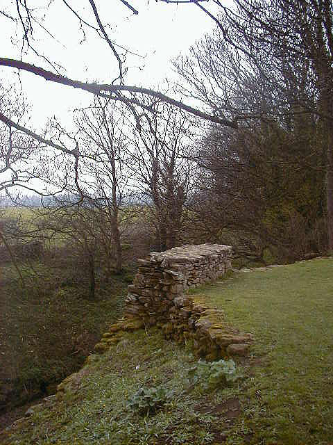
Images are sourced within 2km of 54.500178/-1.684147 or Grid Reference NZ2011. Thanks to Geograph Open Source API. All images are credited.


Aldbrough is located at Grid Ref: NZ2011 (Lat: 54.500178, Lng: -1.684147)
Division: North Riding
Administrative County: North Yorkshire
District: Richmondshire
Police Authority: North Yorkshire
What 3 Words
///fittingly.newlywed.much. Near High Coniscliffe, Co. Durham
Nearby Locations
Related Wikis

Aldbrough St John
Aldbrough St John is a village and civil parish (called just Aldbrough) in the Richmondshire district in North Yorkshire, England. The parish has a population...

Stanwick St John
Stanwick St John is a village, civil parish, former manor and ecclesiastical parish in the Richmondshire district of North Yorkshire, (formerly "North...
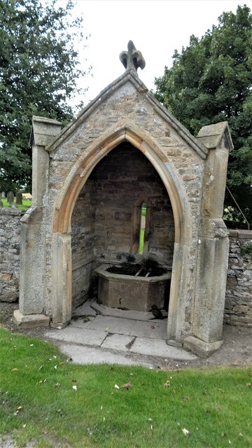
St John the Baptist's Church, Stanwick
St John the Baptist's Church is a redundant Anglican church in the village of Stanwick St John, North Yorkshire, England. It is recorded in the National...

Stanwick Park
Stanwick Park (also known as Stanwick Hall) was a Palladian country house at Stanwick St John in North Yorkshire, England. == History == It was re-built...

Manfield
Manfield is a village and civil parish in the Richmondshire district of North Yorkshire, England. It is a parish in the wapentake of Gilling East. The...
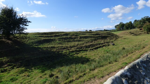
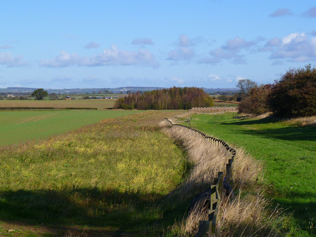
Stanwick Iron Age Fortifications
Stanwick Iron Age Fortifications (also known as 'Stanwick Camp'), a huge Iron Age hill fort, sometimes but not always considered an oppidum, comprising...

Eppleby
Eppleby is a village and civil parish in the Richmondshire district of North Yorkshire, England. It is located about 7 miles (11 km) north of Richmond...
St James' Church, Melsonby
St James' Church is in the village of Melsonby, North Yorkshire, England. It is an Anglican parish church in the deanery of Richmond, the archdeaconry...
Nearby Amenities
Located within 500m of 54.500178,-1.684147Have you been to Aldbrough?
Leave your review of Aldbrough below (or comments, questions and feedback).