Brewer Street
Settlement in Surrey Tandridge
England
Brewer Street

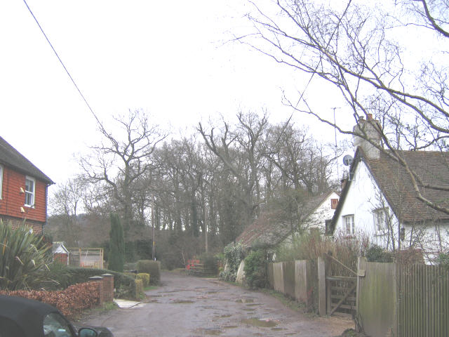
Brewer Street is a charming residential area located in Surrey, England. Situated within close proximity to the town center, it offers a peaceful and picturesque environment for its residents. The street itself is lined with a mix of well-maintained detached and semi-detached houses, creating an attractive and cohesive neighborhood.
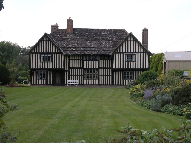
The properties on Brewer Street are known for their architectural diversity, ranging from traditional Victorian houses to more contemporary designs. Many of these homes feature well-manicured gardens and driveways, adding to the overall appeal of the street. The area is popular among families and professionals alike, thanks to its tranquil atmosphere and convenient location.
Residents of Brewer Street benefit from excellent amenities nearby. The town center offers a wide array of shops, restaurants, and cafes, providing ample opportunities for shopping and dining. The area is also well-served by reputable schools, making it an ideal location for families with children.
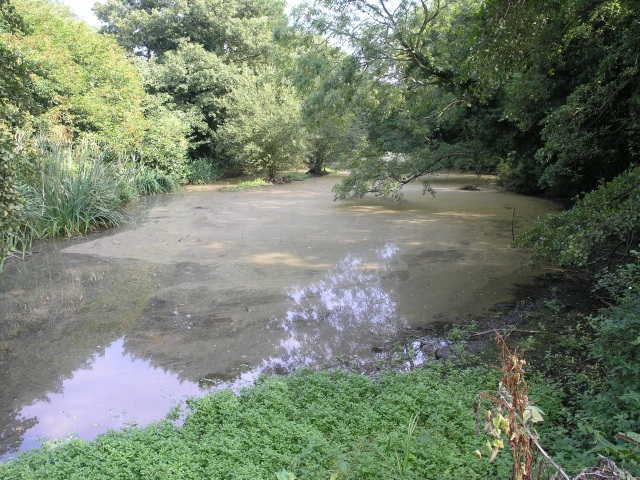
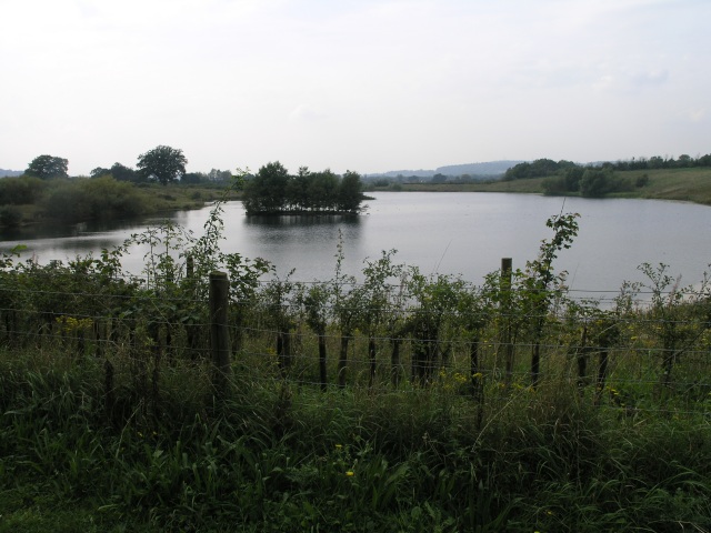
For those who enjoy outdoor activities, Brewer Street is surrounded by green spaces and parks. The nearby Surrey Hills Area of Outstanding Natural Beauty offers breathtaking views and numerous walking trails, providing an escape from the hustle and bustle of everyday life.
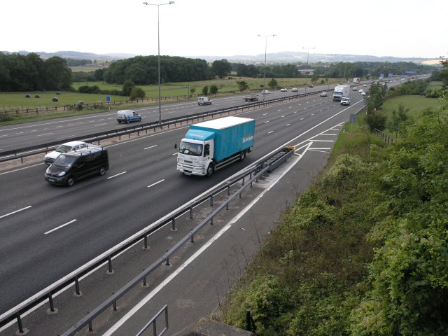
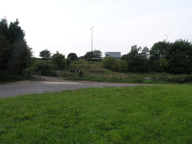
Transportation links are also convenient, with easy access to major roads and nearby train stations. Commuting to neighboring towns and cities is made effortless, making Brewer Street an attractive choice for individuals who work in the surrounding areas.
Overall, Brewer Street in Surrey offers a delightful combination of tranquility, convenience, and natural beauty, making it a highly desirable place to live.
If you have any feedback on the listing, please let us know in the comments section below.
Brewer Street Images
Images are sourced within 2km of 51.252277/-0.102489 or Grid Reference TQ3252. Thanks to Geograph Open Source API. All images are credited.


Brewer Street is located at Grid Ref: TQ3252 (Lat: 51.252277, Lng: -0.102489)
Administrative County: Surrey
District: Tandridge
Police Authority: Surrey
What 3 Words
///tubes.limes.gladiators. Near Bletchingley, Surrey
Nearby Locations
Related Wikis

Kitchen Copse
Kitchen Copse is a 7-hectare (17-acre) nature reserve north of Bletchingley in Surrey. It is managed by the Surrey Wildlife Trust.This ancient semi-natural...
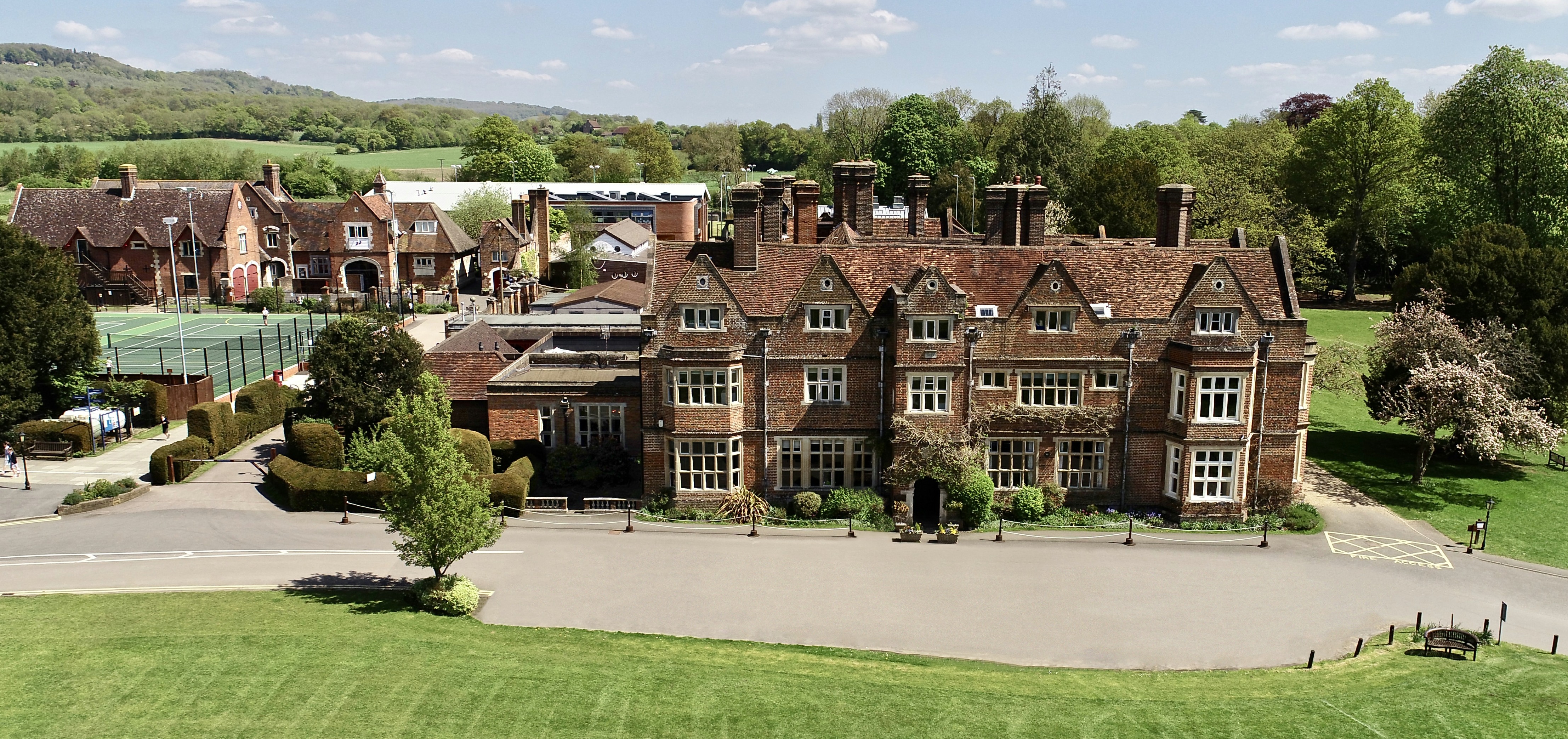
The Hawthorns School
The Hawthorns School is an independent preparatory school for boys and girls aged 2 years to 13 years in Bletchingley, Surrey, England. The headmaster...
Bletchingley
Bletchingley (historically "Blechingley") is a village in Surrey, England. It is on the A25 road to the east of Redhill and to the west of Godstone, has...

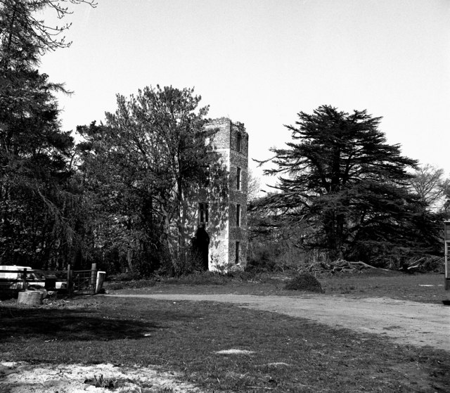
Bletchingley Castle
Bletchingley Castle is a ruined castle and set of earthworks partly occupied by three buildings. The Scheduled Ancient Monument is directly beside the...

Quarry Hangers
Quarry Hangers is a 28.5-hectare (70-acre) biological Site of Special Scientific Interest south-west of Caterham in Surrey. An area of 11 hectares (27...
1929 Luft Hansa Junkers G 24 crash
The 1929 Luft Hansa Junkers G.24 crash occurred on 6 November 1929 when a Junkers G 24 of Luft Hansa crashed at Godstone, Surrey, United Kingdom while...
Caterham School
Caterham School is an independent co-educational day and boarding school located in Caterham, Surrey and a member of the Headmasters' and Headmistresses...

Nutfield, Surrey
Nutfield is a village and civil parish in the Tandridge District of Surrey, England. It lies in the Weald immediately south of the Greensand Ridge and...
Nearby Amenities
Located within 500m of 51.252277,-0.102489Have you been to Brewer Street?
Leave your review of Brewer Street below (or comments, questions and feedback).