Brewer's End

Settlement in Essex Uttlesford

England

Brewer's End

Hatfield Forest. Now a popular park cared for by the National Trust.
Hatfield Forest. Credit: Robin Hall

Brewer's End is a charming village located in the county of Essex, England. Situated in the Uttlesford District, this quaint settlement is nestled amidst the picturesque countryside, offering residents and visitors a peaceful and idyllic retreat from the hustle and bustle of urban life.

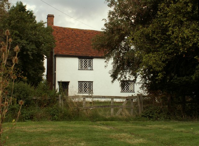
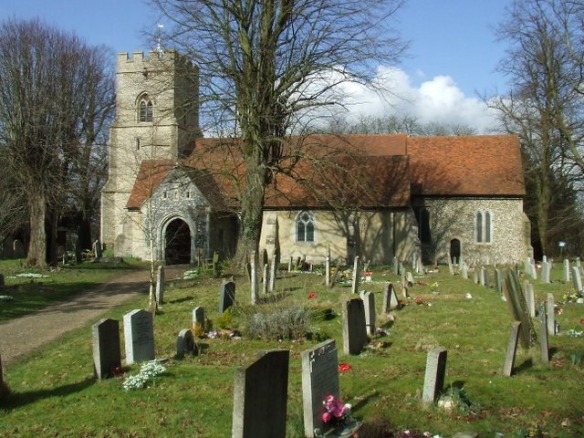
The village is characterized by its traditional English architecture, with a collection of well-preserved historic buildings that showcase the area's rich heritage. The village center features a delightful array of thatched-roof cottages, timber-framed houses, and charming village pubs, giving it an authentic and timeless atmosphere.

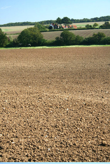
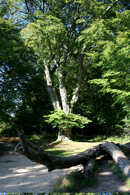
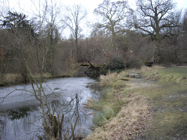
Surrounded by rolling hills and lush green fields, Brewer's End offers ample opportunities for outdoor activities and exploration. The village is blessed with an extensive network of footpaths and bridleways, making it an ideal destination for hikers, cyclists, and horse riders. The nearby River Stort also provides opportunities for boating and fishing enthusiasts.

In terms of amenities, Brewer's End boasts a range of facilities to cater to the needs of its residents. These include a village hall, a primary school, a post office, and a local convenience store. The village also has a thriving community spirit, with regular events and festivals organized throughout the year, bringing residents together and fostering a strong sense of belonging.

Overall, Brewer's End offers a serene and picturesque setting, making it a sought-after destination for those seeking a peaceful and rural lifestyle. With its rich history, natural beauty, and close-knit community, Brewer's End truly embodies the charm and character of the English countryside.

If you have any feedback on the listing, please let us know in the comments section below.
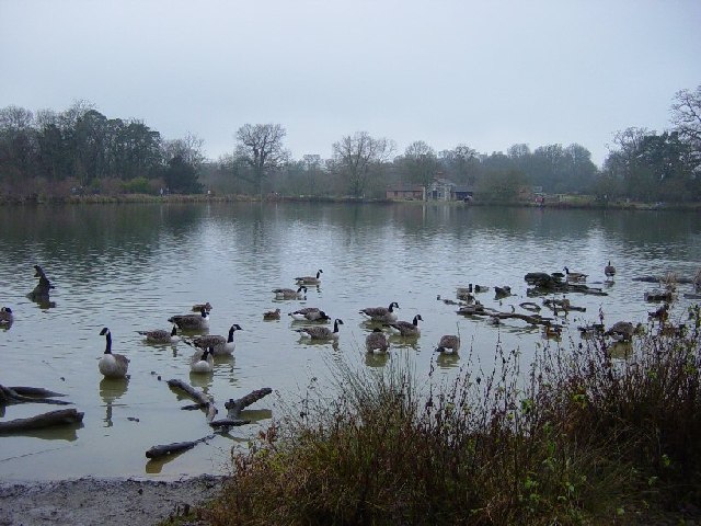
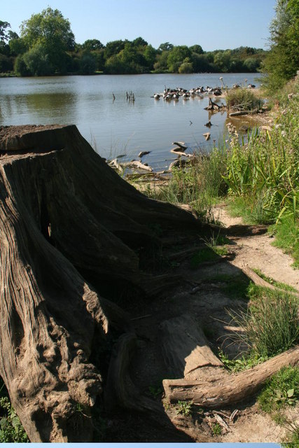
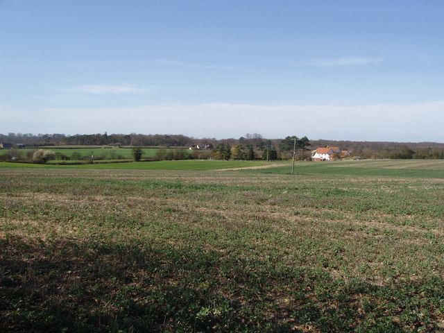
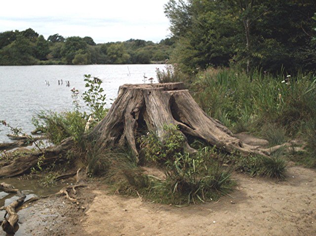
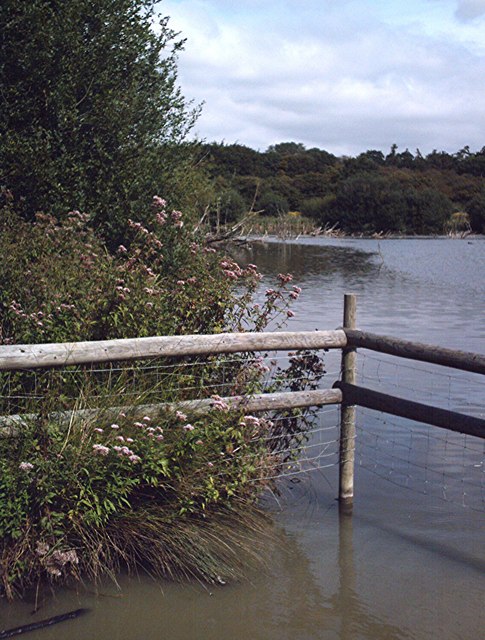
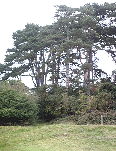
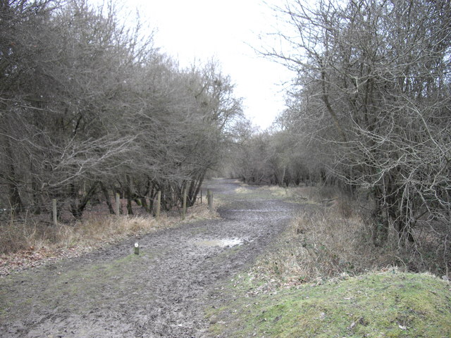
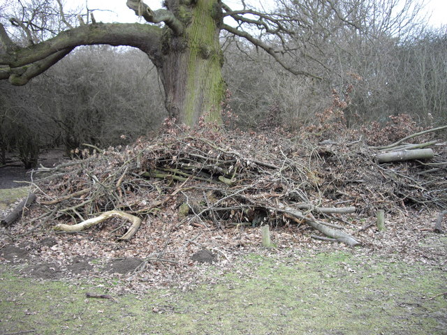
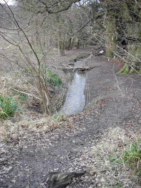
Brewer's End Images

Images are sourced within 2km of 51.869147/0.24995 or Grid Reference TL5521. Thanks to Geograph Open Source API. All images are credited.

Hatfield Forest. Now a popular park cared for by the National Trust.
Hatfield Forest.
Now a popular park cared for by the National Trust.
The Shell House, Hatfield Forest Jacob Houblon III built The Shell House in about 1754. It was attached to a cottage by his new lake and was occupied by a housekeeper who kept poultry and peacocks. The cottage was later demolished. The Shell House has recently been restored by The National Trust.
The Shell House, Hatfield Forest
Jacob Houblon III built The Shell House in about 1754. It was attached to a cottage by his new lake and was occupied by a housekeeper who kept poultry and peacocks. The cottage was later demolished. The Shell House has recently been restored by The National Trust.
The Lake, Hatfield Forest Looking SW across to the Shell House. This lake was created by Jacob Houblon III in circa 1750 from marshland fed by the Shermore Brook.
The Lake, Hatfield Forest
Looking SW across to the Shell House. This lake was created by Jacob Houblon III in circa 1750 from marshland fed by the Shermore Brook.
House at Bush End, near Hatfield Forest, Essex
High House Farm, Bush End
Hatfield Forest In Gravelpit Coppice near the lake.
Hatfield Forest
In Gravelpit Coppice near the lake.
The Lake, Hatfield Forest
Watch out- there's an airport about! Looking across this Essex farming landscape, it's difficult to believe that on the horizon is one of the busiest airports in Britain.  This is a view towards Little Barrington Hall and beyond that Hatfield Forest which is a National Trust countryside park.  If BAA get their way and Stansted Airport is tripled in size over the next 15 years, then areas like this will disappear under concrete and sprawling buildings disfigure the landscape.
Watch out- there's an airport about!
Looking across this Essex farming landscape, it's difficult to believe that on the horizon is one of the busiest airports in Britain. This is a view towards Little Barrington Hall and beyond that Hatfield Forest which is a National Trust countryside park. If BAA get their way and Stansted Airport is tripled in size over the next 15 years, then areas like this will disappear under concrete and sprawling buildings disfigure the landscape.
Lakeside stump Hatfield Forest.
Lakeside stump
Hatfield Forest.
Watering place A shallow,muddy,fenced area of the lake much used by thirsty cattle.
Watering place
A shallow,muddy,fenced area of the lake much used by thirsty cattle.
Pines, Hatfield Forest A small stand of pine trees in Gravelpit Coppice.
Pines, Hatfield Forest
A small stand of pine trees in Gravelpit Coppice.
Muddy Path in Collin's Coppice Collin's Coppice is part of Hatfield Forest.
Muddy Path in Collin's Coppice
Collin's Coppice is part of Hatfield Forest.
Pruning waste under old oak at edge of Collin's Coppice
Overflow Stream at Hatfield Forest This part of the forest is fenced off from public use as it contains some very old trees that the National Trust do not want to get damaged
Overflow Stream at Hatfield Forest
This part of the forest is fenced off from public use as it contains some very old trees that the National Trust do not want to get damaged
Eastern Electricity Cable Marker Stone Pictured in Hatfield Forest
Eastern Electricity Cable Marker Stone
Pictured in Hatfield Forest
Lake by Collin's Coppice This is the overflow lake from the main one in Hatfield forest
Lake by Collin's Coppice
This is the overflow lake from the main one in Hatfield forest
Bench by the over flow lake A nice spot in the summer?
Bench by the over flow lake
A nice spot in the summer?
Path at edge of lake Taken from edge of Collin's Coppice
Path at edge of lake
Taken from edge of Collin's Coppice
Show me another place!

Brewer's End is located at Grid Ref: TL5521 (Lat: 51.869147, Lng: 0.24995)

Administrative County: Essex

District: Uttlesford

Police Authority: Essex

What 3 Words

///impresses.implanted.mount. Near Takeley, Essex

Nearby Locations

Brewer's End

Related Wikis

Stane Street Halt railway station

Stane Street Halt railway station was a station serving the community of Takeley Street to the west of the village of Takeley near Bishop's Stortford,...

The Christian School, Takeley

The Christian School (Takeley) is an independent Christian school located in Takeley, Bishop's Stortford, Essex. The school caters for children of 7 through...

Takeley

Takeley is a village and civil parish in the Uttlesford district of Essex, England. == History == A number of theories have arisen over the origin of the...

Takeley Priory

Takeley Priory, dedicated to Saint Valery, was a Benedictine monastery in Takeley, Essex, England, founded by William the Conqueror between 1066 and 1086...

Takeley railway station

Takeley railway station was a station serving the Hockerill area of Takeley in Bishop's Stortford, England. The station was 5 miles 11 chains (8.27 km...

Takeley F.C.

Takeley Football Club is an English football club based in Takeley, Essex. The club are currently members of the Essex Senior League and play at Station...

Hatfield Forest

Hatfield Forest is a 403.2-hectare (996-acre) biological Site of Special Scientific Interest in Essex, three miles east of Bishop's Stortford. It is also...

Portingbury Hills

Portingbury Hills (grid reference TL5320) or Portingbury Rings is a hill in Hatfield Forest, Hatfield Broad Oak, Essex, United Kingdom. == Artefacts... ==

Nearby Amenities

Located within 500m of 51.869147,0.24995
Takeley Street
Place: village
Lat/Long: 51.8681429/0.2473882
Bus Stop
The Green Man
Bus: yes
Naptan AtcoCode: 1500IM186
Naptan Bearing: W
Naptan CommonName: The Green Man
Naptan Indicator: Adj
Naptan Landmark: The Green Man
Naptan NaptanCode: esxdgjmt
Naptan Street: Dunmow Road
Naptan Verified: no
Public Transport: platform
Source: naptan_import
Lat/Long: 51.8682801/0.246362
The Green Man
Naptan AtcoCode: 1500IM186Y
Naptan Bearing: E
Naptan BusStopType: CUS
Naptan CommonName: The Green Man
Naptan Indicator: Opp
Naptan Landmark: The Green Man
Naptan NaptanCode: esxjdgwt
Naptan Street: Dunmow Road
Naptan Verified: no
Public Transport: platform
Source: naptan_import
Lat/Long: 51.8683624/0.2462935
Stane Street
Historic Railway: halt
Railway: site
Wikidata: Q7598686
Wikipedia: en:Stane Street Halt railway station
Lat/Long: 51.8675389/0.2458089
Information: board
Tourism: information
Lat/Long: 51.8674476/0.2452583
Southern Helicopters
Aeroway: helipad
Lat/Long: 51.8689409/0.2476191
Bench
Backrest: no
Lat/Long: 51.867576/0.2453108
Direction: backward
Traffic Calming: rumble_strip
Lat/Long: 51.8682582/0.2514949
Crossing
Crossing: unmarked
Crossing Markings: no
Lat/Long: 51.8682357/0.2474657
Bench
Backrest: no
Lat/Long: 51.8670034/0.2506265
Information: board
Tourism: information
Lat/Long: 51.8675193/0.2458521
Bench
Lat/Long: 51.8675301/0.245832
Information: board
Tourism: information
Lat/Long: 51.8675756/0.2457033
Barrier: swing_gate
Lat/Long: 51.868661/0.2555679
Man Made: pumping_station
Lat/Long: 51.8679853/0.2491139
Content: water
Man Made: storage_tank
Lat/Long: 51.8692904/0.2502404
Colour: yellow
Inscription: GAS LTS
Marker: post
Material: concrete
Utility: gas
Lat/Long: 51.868419/0.2541574
Colour: yellow
Marker: post
Material: plastic
Utility: gas
Lat/Long: 51.8683774/0.2539387
Colour: red and white
Marker: aerial
Material: plastic
Utility: gas
Lat/Long: 51.8685265/0.2539124
Noexit: yes
Lat/Long: 51.8685515/0.2541867
Power: pole
Lat/Long: 51.8667671/0.2540825
Power: pole
Lat/Long: 51.8674399/0.2528733
Power: pole
Lat/Long: 51.8683288/0.2513172
Power: pole
Lat/Long: 51.8659389/0.2547746
Takeley Hill
Place: locality
Lat/Long: 51.8660377/0.2453313
Colour: yellow
Marker: post
Material: plastic
Utility: gas
Lat/Long: 51.8685181/0.2539133
The data included in this document is from www.openstreetmap.org. The data is made available under ODbL.

Have you been to Brewer's End?

Leave your review of Brewer's End below (or comments, questions and feedback).