Black Bushes
Wood, Forest in Surrey Tandridge
England
Black Bushes
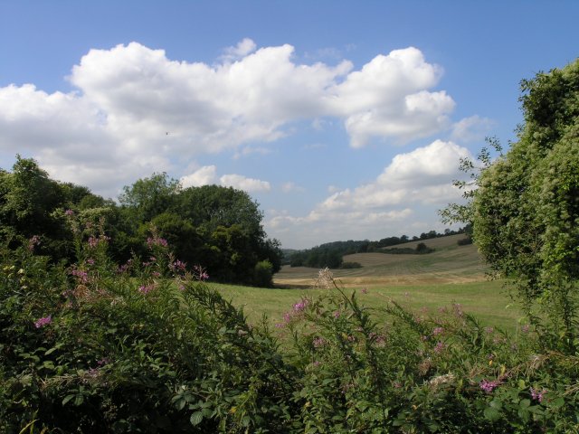
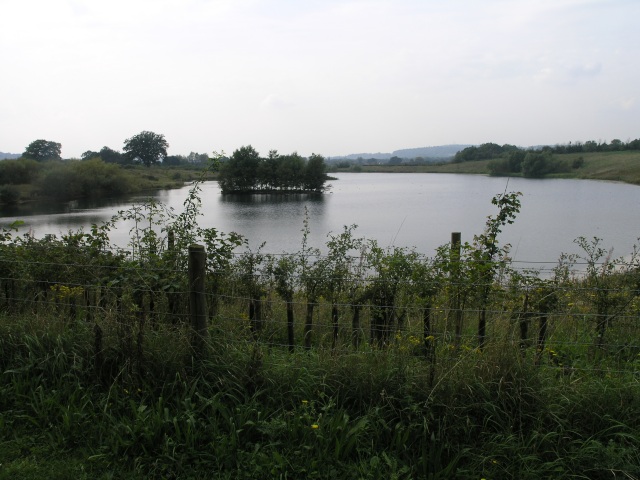
Black Bushes is a picturesque woodland area located in Surrey, England. As part of the larger Surrey Hills Area of Outstanding Natural Beauty, this ancient forest covers an area of approximately 500 acres and is home to a diverse range of flora and fauna.
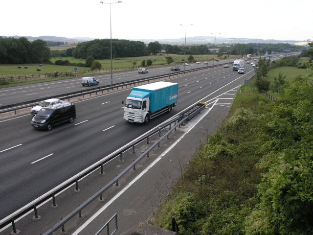
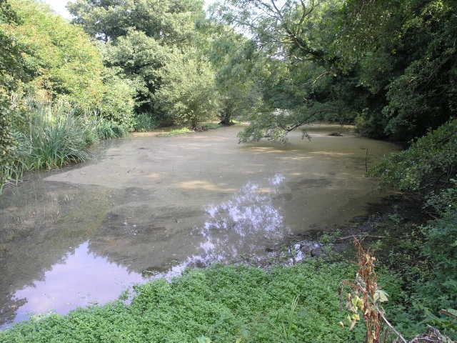
The woodland is primarily composed of broadleaf trees, including oak, beech, and birch, which create a dense canopy that filters sunlight to the forest floor. This allows for the growth of a rich understory, consisting of various wildflowers, ferns, and mosses. The forest also boasts several small ponds and streams, which further enhance its natural beauty and provide a habitat for aquatic wildlife.
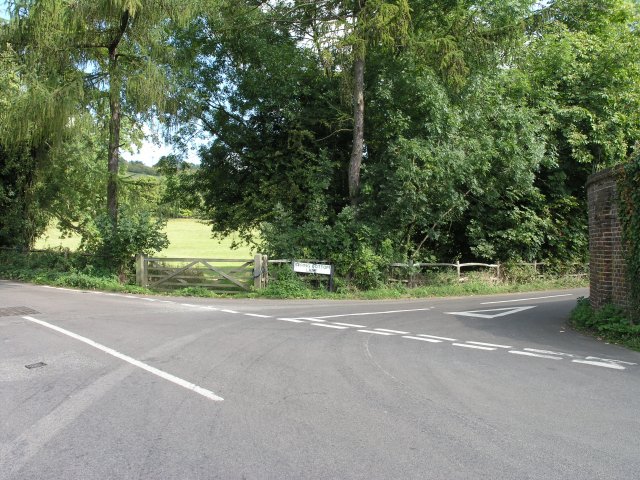
Black Bushes is a popular destination for nature lovers and outdoor enthusiasts. It offers numerous walking trails and paths that wind through the forest, allowing visitors to explore its enchanting surroundings. These trails vary in difficulty, catering to both casual strollers and more experienced hikers.
The forest is also renowned for its wildlife, with numerous species of birds, mammals, and insects calling it home. Birdwatchers can spot a variety of species, including woodpeckers, nuthatches, and various songbirds. Mammals such as deer, foxes, and badgers can also be seen in the early morning or evening hours.
Overall, Black Bushes offers a tranquil and serene escape from the bustling city life. Its natural beauty and diverse ecosystem make it an ideal destination for those seeking a connection with nature.
If you have any feedback on the listing, please let us know in the comments section below.
Black Bushes Images
Images are sourced within 2km of 51.26058/-0.10512029 or Grid Reference TQ3252. Thanks to Geograph Open Source API. All images are credited.


Black Bushes is located at Grid Ref: TQ3252 (Lat: 51.26058, Lng: -0.10512029)
Administrative County: Surrey
District: Tandridge
Police Authority: Surrey
What 3 Words
///incomes.skirt.wiring. Near Bletchingley, Surrey
Nearby Locations
Related Wikis

Kitchen Copse
Kitchen Copse is a 7-hectare (17-acre) nature reserve north of Bletchingley in Surrey. It is managed by the Surrey Wildlife Trust.This ancient semi-natural...

Quarry Hangers
Quarry Hangers is a 28.5-hectare (70-acre) biological Site of Special Scientific Interest south-west of Caterham in Surrey. An area of 11 hectares (27...
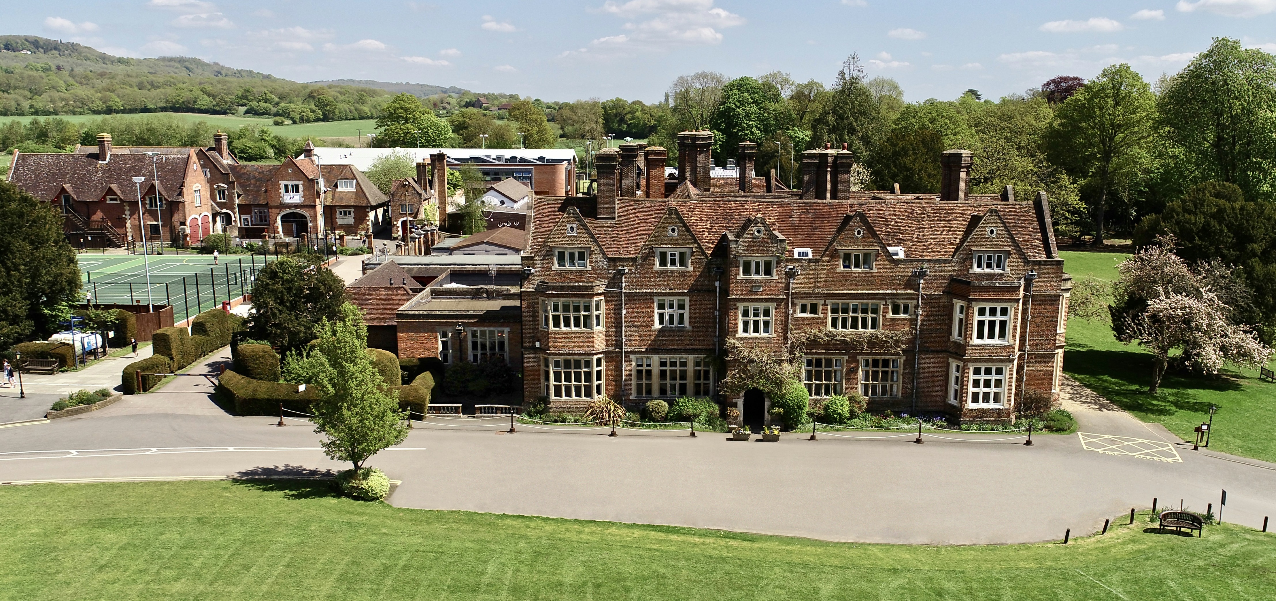
The Hawthorns School
The Hawthorns School is an independent preparatory school for boys and girls aged 2 years to 13 years in Bletchingley, Surrey, England. The headmaster...

Caterham School
Caterham School is an independent co-educational day and boarding school located in Caterham, Surrey and a member of the Headmasters' and Headmistresses...
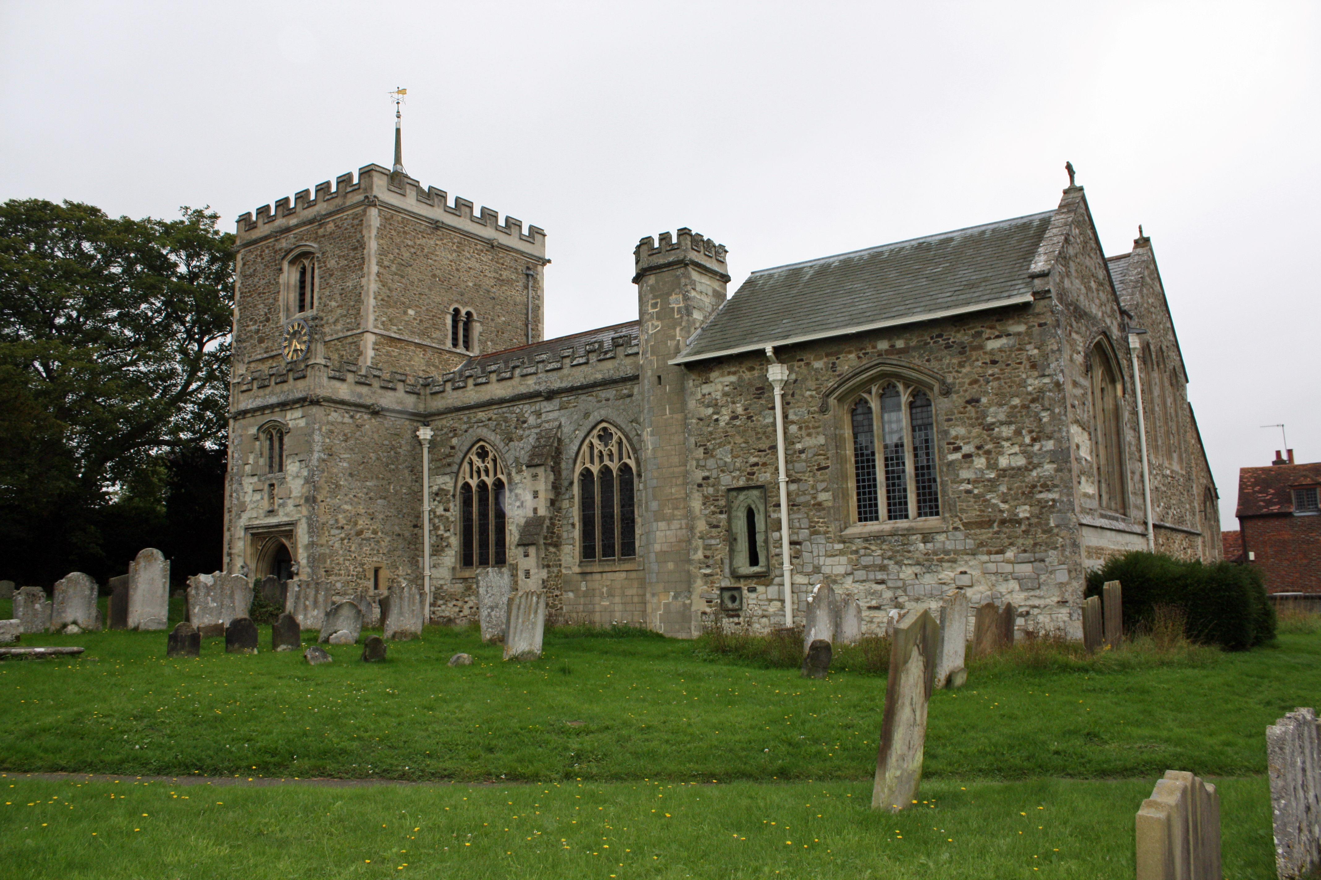
Bletchingley
Bletchingley (historically "Blechingley") is a village in Surrey, England. It is on the A25 road to the east of Redhill and to the west of Godstone, has...

Chaldon
Chaldon is a village and civil parish in the Tandridge District of Surrey, England. The village is situated high on the North Downs, immediately west of...
Bletchingley Castle
Bletchingley Castle is a ruined castle and set of earthworks partly occupied by three buildings. The Scheduled Ancient Monument is directly beside the...
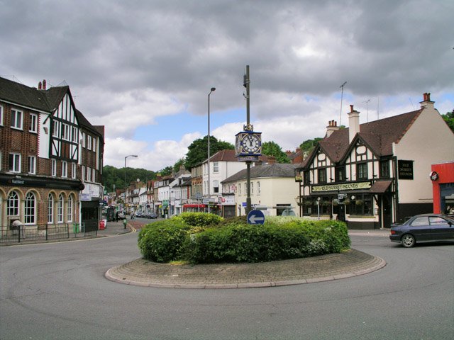
Caterham
Caterham () is a town in the Tandridge District of Surrey, England. The town is administratively divided into two: Caterham on the Hill, and Caterham Valley...
Nearby Amenities
Located within 500m of 51.26058,-0.10512029Have you been to Black Bushes?
Leave your review of Black Bushes below (or comments, questions and feedback).