Kitchen Copse
Wood, Forest in Surrey Tandridge
England
Kitchen Copse

Kitchen Copse is a picturesque woodland located in the county of Surrey, England. Covering an area of approximately 20 acres, it is nestled within the larger Surrey Hills Area of Outstanding Natural Beauty. The copse is known for its dense and diverse collection of trees, making it a popular destination for nature enthusiasts and hikers.
The woodland is primarily composed of broadleaf trees, including oak, beech, and birch. These trees create a rich canopy that provides shade and shelter for a variety of wildlife, such as birds, squirrels, and deer. In spring, the forest floor comes alive with a vibrant display of bluebells and other wildflowers, adding to the copse's natural beauty.
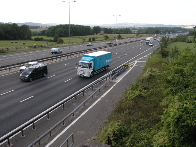
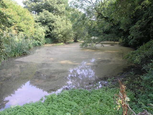
There are several well-maintained footpaths that wind their way through Kitchen Copse, allowing visitors to explore the woodland at their own pace. These paths offer stunning views of the surrounding countryside and are suitable for both leisurely walks and more challenging hikes. Along the way, hikers may come across small streams, adding to the tranquility of the area.
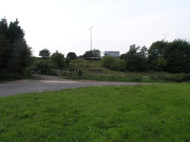
The copse is conveniently located near the village of Surrey, making it easily accessible to both locals and tourists. There is a small car park at the entrance to the woodland, providing a convenient starting point for visitors. Additionally, there are picnic areas dotted throughout the copse, allowing visitors to take a break and enjoy the peaceful surroundings.
Overall, Kitchen Copse is a hidden gem in the Surrey countryside, offering a serene and natural escape for those seeking a break from the hustle and bustle of everyday life. Its beautiful woodland and diverse wildlife make it a must-visit destination for nature lovers and outdoor enthusiasts alike.
If you have any feedback on the listing, please let us know in the comments section below.
Kitchen Copse Images
Images are sourced within 2km of 51.255523/-0.097159382 or Grid Reference TQ3252. Thanks to Geograph Open Source API. All images are credited.


Kitchen Copse is located at Grid Ref: TQ3252 (Lat: 51.255523, Lng: -0.097159382)
Administrative County: Surrey
District: Tandridge
Police Authority: Surrey
What 3 Words
///jams.backs.title. Near Bletchingley, Surrey
Nearby Locations
Related Wikis

Kitchen Copse
Kitchen Copse is a 7-hectare (17-acre) nature reserve north of Bletchingley in Surrey. It is managed by the Surrey Wildlife Trust.This ancient semi-natural...
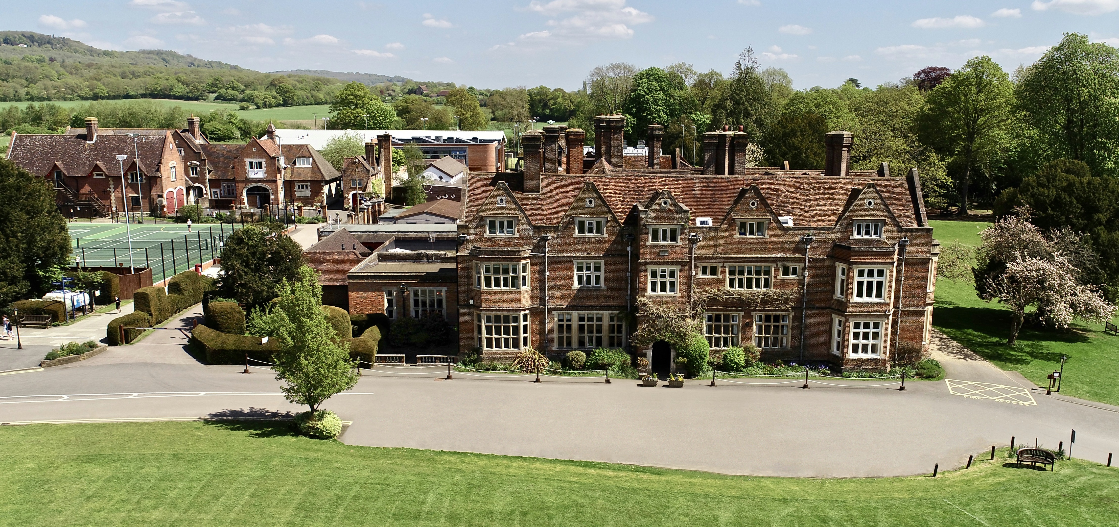
The Hawthorns School
The Hawthorns School is an independent preparatory school for boys and girls aged 2 years to 13 years in Bletchingley, Surrey, England. The headmaster...
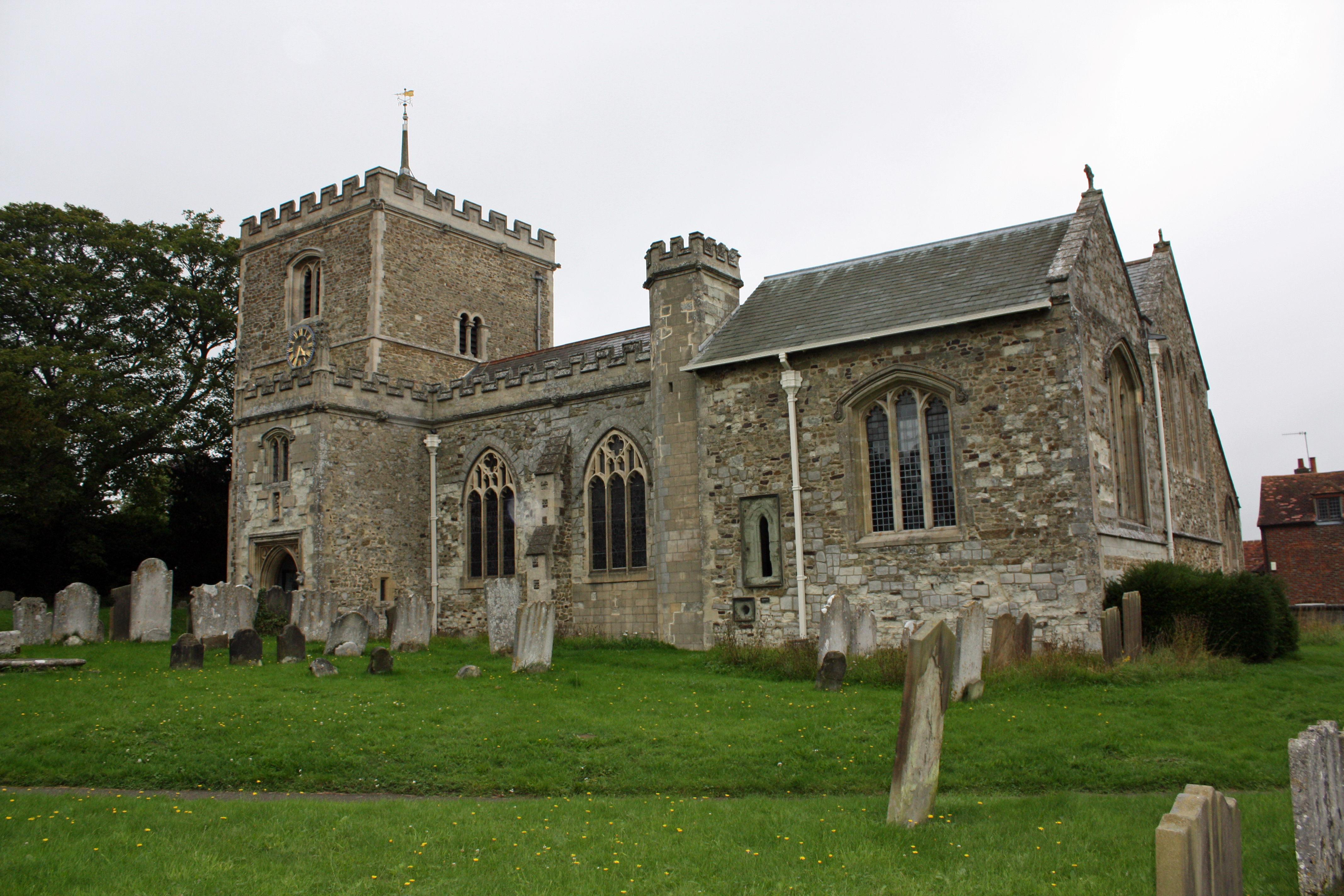
Bletchingley
Bletchingley (historically "Blechingley") is a village in Surrey, England. It is on the A25 road to the east of Redhill and to the west of Godstone, has...

Quarry Hangers
Quarry Hangers is a 28.5-hectare (70-acre) biological Site of Special Scientific Interest south-west of Caterham in Surrey. An area of 11 hectares (27...

Caterham School
Caterham School is an independent co-educational day and boarding school located in Caterham, Surrey and a member of the Headmasters' and Headmistresses...
Bletchingley Castle
Bletchingley Castle is a ruined castle and set of earthworks partly occupied by three buildings. The Scheduled Ancient Monument is directly beside the...
1929 Luft Hansa Junkers G 24 crash
The 1929 Luft Hansa Junkers G.24 crash occurred on 6 November 1929 when a Junkers G 24 of Luft Hansa crashed at Godstone, Surrey, United Kingdom while...

Bay Pond
Bay Pond is a 7-hectare (17-acre) nature reserve in Godstone in Surrey. It is managed by the Surrey Wildlife Trust. It is part of Godstone Ponds Site...
Nearby Amenities
Located within 500m of 51.255523,-0.097159382Have you been to Kitchen Copse?
Leave your review of Kitchen Copse below (or comments, questions and feedback).