Brownshill Shaw
Wood, Forest in Surrey Tandridge
England
Brownshill Shaw
Brownshill Shaw is a picturesque woodland located in Surrey, England. Covering an area of approximately 100 acres, this ancient forest is a haven for nature enthusiasts and a popular destination for outdoor activities.
The woodland is predominantly composed of oak trees, creating a dense and lush canopy that provides shade and shelter for a diverse range of flora and fauna. The forest floor is covered with a thick carpet of moss, ferns, and wildflowers, creating a vibrant and enchanting atmosphere. The tranquility of the woodland is further enhanced by the presence of a small stream that meanders through the trees, adding a touch of serenity to the landscape.
Brownshill Shaw offers a variety of trails and footpaths, making it an ideal location for walking, hiking, and birdwatching. The forest is home to a wide array of bird species, including woodpeckers, owls, and various songbirds. Visitors may also encounter other wildlife such as deer, foxes, and squirrels during their explorations.
In addition to its natural beauty, Brownshill Shaw holds historical significance as well. The woodland is believed to have been in existence for centuries, with evidence of human activity dating back to the Roman period. The remains of an ancient settlement have been discovered within the forest, adding an element of intrigue and fascination to the area.
Overall, Brownshill Shaw is a captivating woodland that offers a peaceful retreat from the hustle and bustle of everyday life. With its rich biodiversity, scenic trails, and historical significance, this natural gem in Surrey is a must-visit destination for nature lovers and history enthusiasts alike.
If you have any feedback on the listing, please let us know in the comments section below.
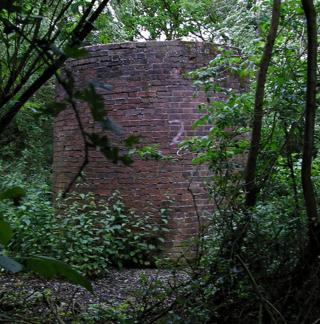
Brownshill Shaw Images
Images are sourced within 2km of 51.205013/-0.099055697 or Grid Reference TQ3246. Thanks to Geograph Open Source API. All images are credited.


Brownshill Shaw is located at Grid Ref: TQ3246 (Lat: 51.205013, Lng: -0.099055697)
Administrative County: Surrey
District: Tandridge
Police Authority: Surrey
What 3 Words
///shrimp.maker.hills. Near Blindley Heath, Surrey
Nearby Locations
Related Wikis

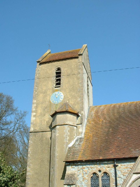
Church of St John the Baptist, Outwood
The Church of St John the Baptist, Outwood, is the parish church of Outwood, Surrey, England. == Clergy and style of worship == Part of the Diocese of...

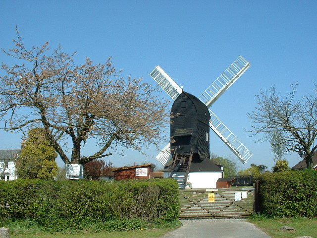
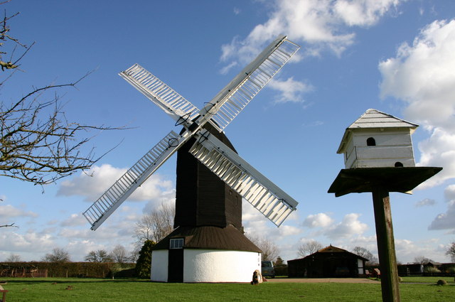
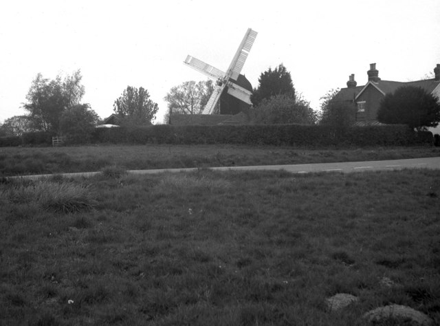
Outwood Windmill
Outwood Windmill is a Grade I listed post mill in Outwood, Surrey. Built in 1665 by Thomas Budgen, a miller from Nutfield in Surrey, it is Britain's oldest...
Outwood, Surrey
Outwood is a village and civil parish in the Tandridge district of the Surrey weald. == Geography == Outwood is separated from Redhill by the M23 which...

Horne, Surrey
Horne is a rural village and civil parish in the District of Tandridge in Surrey, England. The parish includes the hamlet of Newchapel, where the British...

Redhill Aerodrome
Redhill Aerodrome (ICAO: EGKR) is an operational general aviation aerodrome located 1.5 NM (2.8 km; 1.7 mi) south-east of Redhill, Surrey, England, in...

Brewing Industry Research Foundation
The Brewing Industry Research Foundation is now part of Campden BRI, a research association serving all sectors of the food and drink industry. The Brewing...
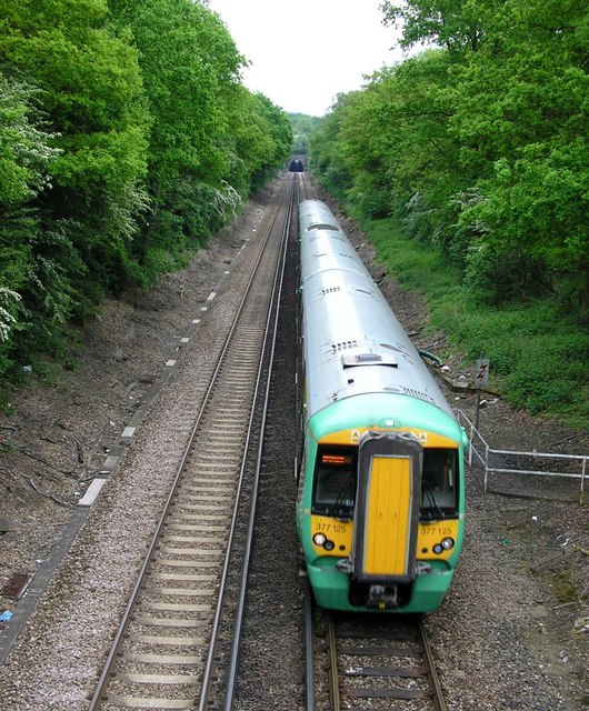
Nutfield railway station
Nutfield railway station is on the Redhill to Tonbridge Line and serves Nutfield, Surrey, England. It is about a mile south of Nutfield itself, located...

Graeme Hendrey Wood
Graeme Hendrey Wood is a 10-hectare (25-acre) nature reserve east of Bletchingley in Surrey. It is managed by the Surrey Wildlife Trust.This former sand...
Nearby Amenities
Located within 500m of 51.205013,-0.099055697Have you been to Brownshill Shaw?
Leave your review of Brownshill Shaw below (or comments, questions and feedback).