Bretton

Settlement in Derbyshire Derbyshire Dales

England

Bretton

Bretton Brook emerging from a culvert under Camphill Lane
Bretton Brook emerging from a culvert under Camphill Lane Credit: Ian Calderwood

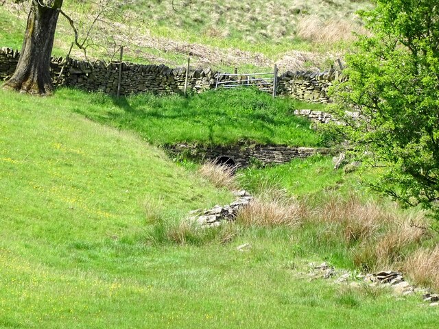
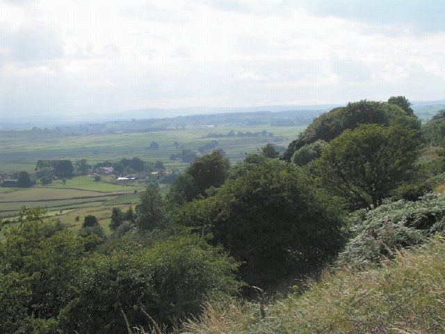
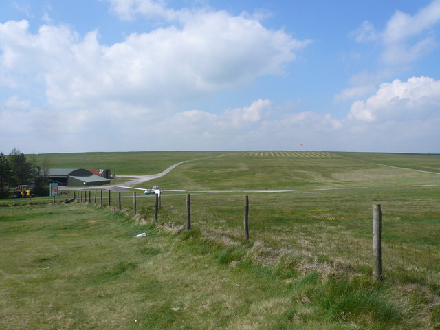
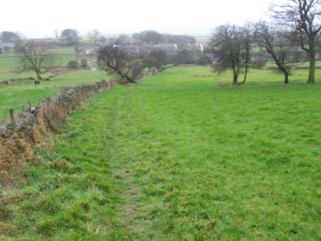
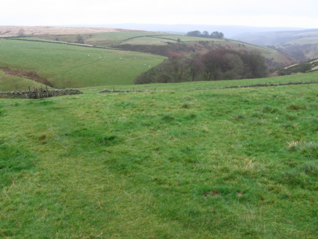
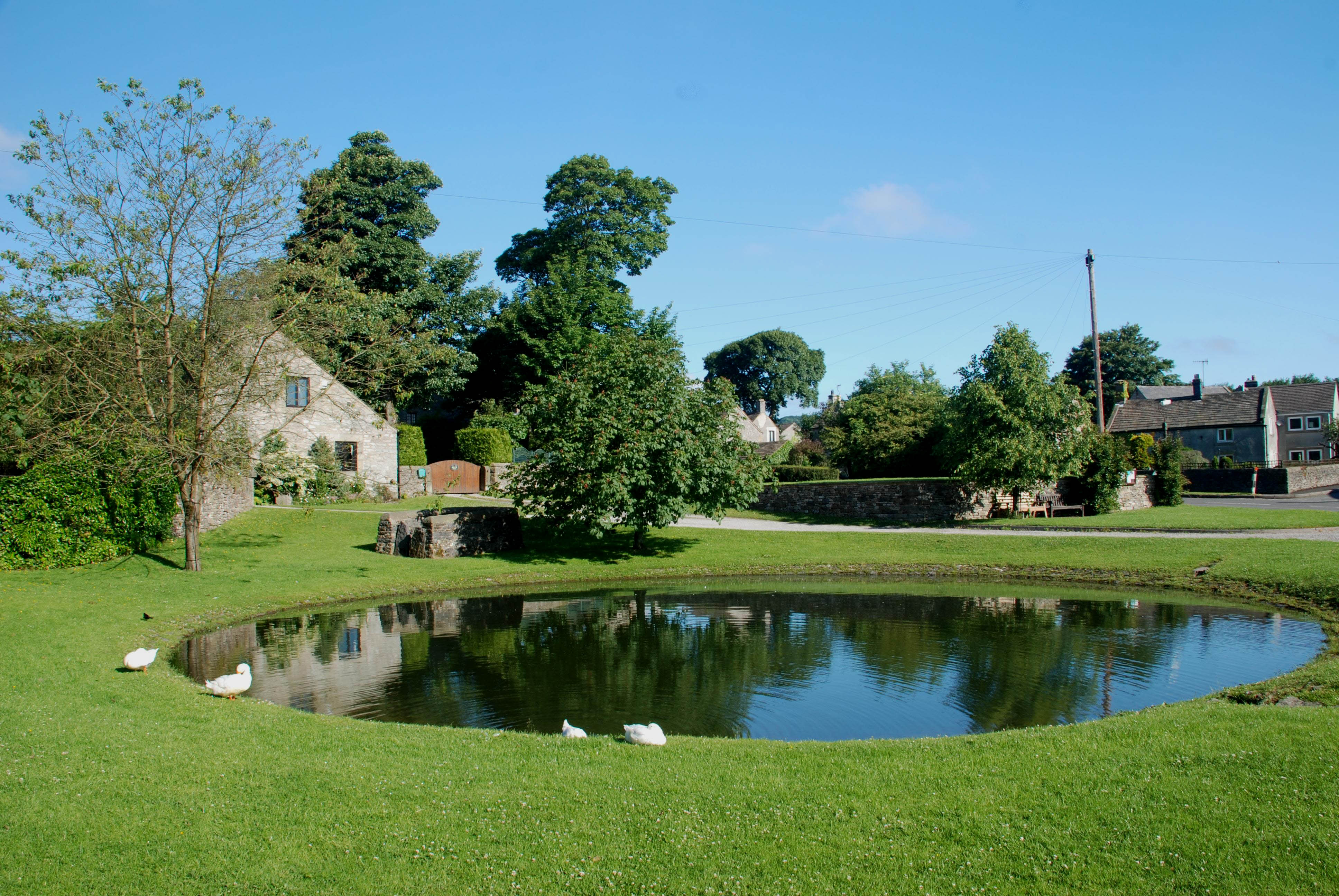
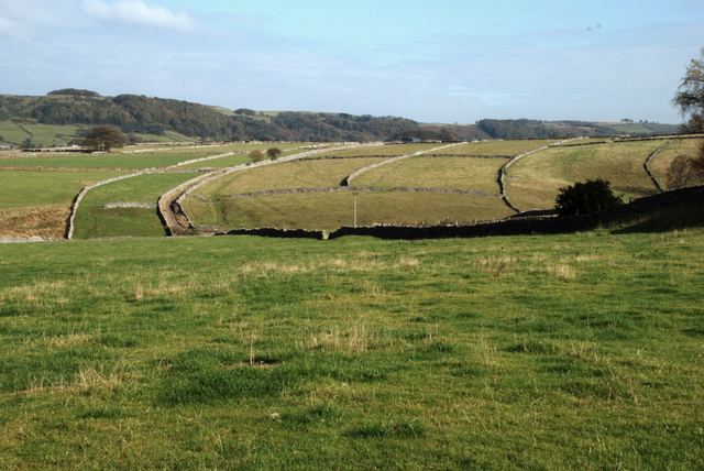
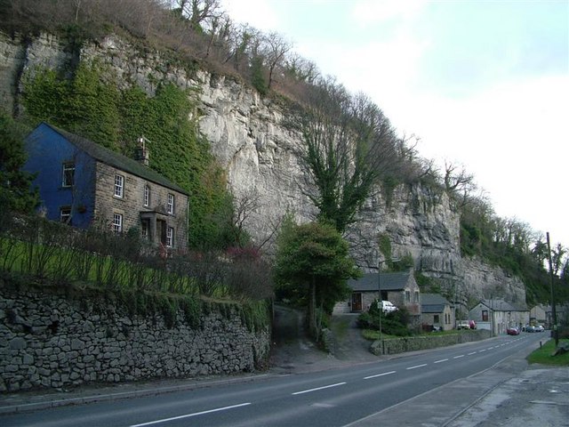
Bretton is a small village located in the county of Derbyshire, England. Situated in the eastern part of the county, it is nestled in the beautiful Peak District National Park. The village is known for its picturesque surroundings, with rolling hills, lush green fields, and charming stone cottages dotting the landscape.

With a population of just over 200 residents, Bretton exudes a tranquil and close-knit community atmosphere. The village is primarily residential, with a few local businesses catering to the needs of its inhabitants. Its main focal point is the village pub, a traditional establishment that serves as a meeting place for locals and visitors alike.

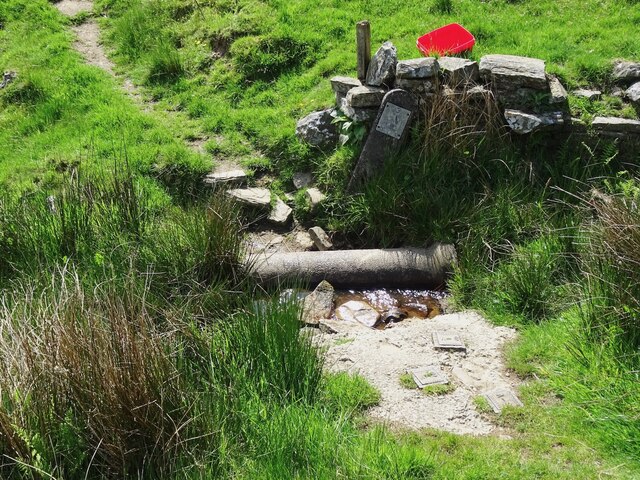
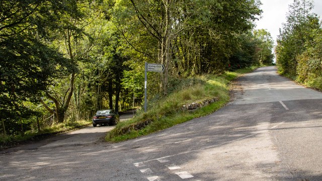
Nature enthusiasts are drawn to Bretton for its proximity to the breathtaking countryside. The village acts as a gateway to several walking trails, including the popular Bretton Clough, which offers stunning views of the surrounding area. Outdoor activities such as hiking, cycling, and birdwatching are popular pastimes for both residents and tourists.

Despite its small size, Bretton has a rich history. It is home to St. John the Baptist Church, a Grade II listed building dating back to the 12th century. The church's medieval architecture and serene atmosphere make it an interesting landmark to explore for history buffs.

Overall, Bretton is a charming and idyllic village, offering a peaceful retreat from the hustle and bustle of city life. Its natural beauty, friendly community, and historical sites make it a hidden gem within the Derbyshire countryside.

If you have any feedback on the listing, please let us know in the comments section below.
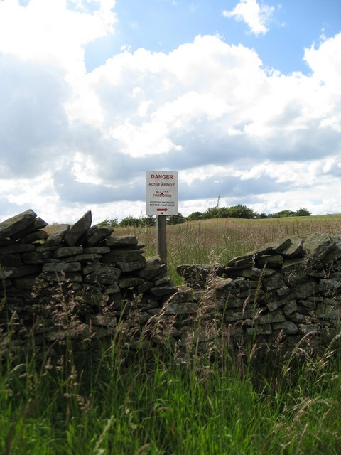
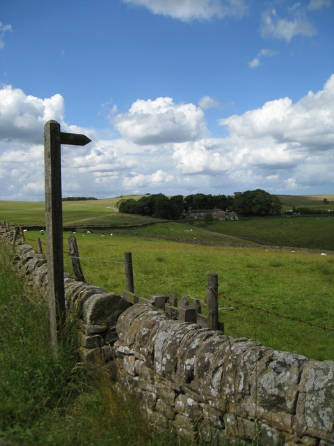
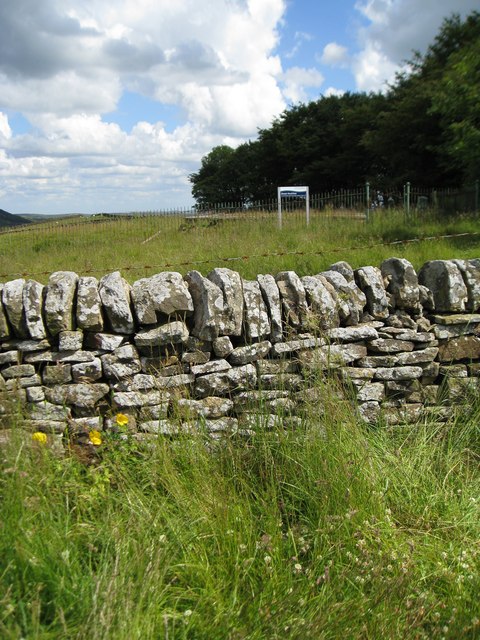
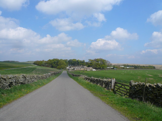
Bretton Images

Images are sourced within 2km of 53.297668/-1.701385 or Grid Reference SK2077. Thanks to Geograph Open Source API. All images are credited.

Bretton Brook emerging from a culvert under Camphill Lane
Footpath crossing Bretton Brook
Hucklow Edge Road junction at Hucklow Edge.
Hucklow Edge
Road junction at Hucklow Edge.
Camphill Small building beneath Camphill.
Camphill
Small building beneath Camphill.
From Hucklow Edge View from the Hucklow Edge to Bretton road at SK189780 looking west towards Grindlow and Great Hucklow.
From Hucklow Edge
View from the Hucklow Edge to Bretton road at SK189780 looking west towards Grindlow and Great Hucklow.
Snowy Peak District Stile This is a squeezer stile typical of the type found in the White Peak. It is situated on the footpath between Foolow and Grindlow.
Snowy Peak District Stile
This is a squeezer stile typical of the type found in the White Peak. It is situated on the footpath between Foolow and Grindlow.
From Hucklow Edge to Abney Moor Bretton Brook has carved out the valley between the high points.  The gates allow access to the adjacent reservoir.
From Hucklow Edge to Abney Moor
Bretton Brook has carved out the valley between the high points. The gates allow access to the adjacent reservoir.
The perimeter wall of the Gliding Club A deterrent?  Perhaps.
The perimeter wall of the Gliding Club
A deterrent? Perhaps.
Footpath from Hucklow Edge This footpath leaves the high ground and descends into the valley.  The buildings are those of Camphill.
Footpath from Hucklow Edge
This footpath leaves the high ground and descends into the valley. The buildings are those of Camphill.
Great Hucklow Reservoir Unmarked on the 1:50 000 map, but shown on the 1:25 000.  A good location for a reservoir - on top of Hucklow Edge.
Great Hucklow Reservoir
Unmarked on the 1:50 000 map, but shown on the 1:25 000. A good location for a reservoir - on top of Hucklow Edge.
Grindlow - Lane approach
Rose Farm, Grindlow
Rose Farm, Grindlow
Junction of lanes and footpath, Grindlow
Lane approach to the Derbyshire & Lancashire Gliding Club
Gliding Field - View from Public Car Park
Trough and view to Wardlow Mires Taken from Grindlow; Wardlow Mires is at  SK 180 756
Trough and view to Wardlow Mires
Taken from Grindlow; Wardlow Mires is at SK 180 756
Footpath towards Grindlow
Footpath towards Abney Grange
Show me another place!

Bretton is located at Grid Ref: SK2077 (Lat: 53.297668, Lng: -1.701385)

Administrative County: Derbyshire

District: Derbyshire Dales

Police Authority: Derbyshire

What 3 Words

///delved.clenching.bead. Near Hathersage, Derbyshire

Related Wikis

St Hugh's Church, Foolow

St Hugh's Church, Foolow is a Grade II listed parish church in the Church of England in Foolow, Derbyshire. == History == The church was opened on 17 November...

Foolow

Foolow (Old English possibly for "bird hill" or "colourful hill") is a village in the Derbyshire Peak District. == Village centre == The village green...

Abney, Derbyshire

Abney (Old English Abba's Island) is a village in the English county of Derbyshire. The settlement was mentioned as Habenai in the Domesday book of 1086...

Jumber Brook

Jumber Brook is a stream in Eyam in the Derbyshire Peak District. The stream originates to the north of the village at Highcliffe. The brook flows south...

Brosterfield

Brosterfield is a hamlet in Derbyshire, England. It is located close to Foolow, where the road to that village joins the A623 road.

Middleton Dale

Middleton Dale is a steep-sided, carboniferous limestone valley in the Derbyshire Peak District of England. The village of Stoney Middleton lies at the...

Grindlow

Grindlow is a farming hamlet of a dozen or so houses that nestles under Hucklow Edge in the Derbyshire Peak District. Although it is a separate civil parish...

Eyam Museum

Eyam Museum or as it is locally known Eyam Plague museum is a local museum in the village of Eyam, located in the Peak District, Derbyshire, England....

Nearby Amenities

Located within 500m of 53.297668,-1.701385
Bretton
Is In Country: UK
Is In County: Derbyshire
Place: hamlet
Wikidata: Q12053531
Wikipedia: en:Bretton, Derbyshire
Lat/Long: 53.2979948/-1.7011558
Ele: 354.3690186
Lat/Long: 53.3010183/-1.6976029
Barrier: stile
Ele: 351.9658203
Material: stone
Source: survey;bing;gps
Steps: 2
Stile: stepover
Lat/Long: 53.3011579/-1.6978028
Material: wood
Power: pole
Lat/Long: 53.296624/-1.707556
Material: wood
Power: pole
Lat/Long: 53.2968901/-1.7083956
Material: wood
Power: pole
Lat/Long: 53.2961512/-1.7040074
Material: wood
Power: pole
Lat/Long: 53.2960617/-1.7028944
Material: wood
Power: pole
Lat/Long: 53.2962586/-1.705319
Material: wood
Power: pole
Lat/Long: 53.2963644/-1.706754
Power: pole
Lat/Long: 53.2957123/-1.7016123
Power: pole
Source: Bing
Lat/Long: 53.2947292/-1.6980666
Material: wood
Power: pole
Source: Bing
Lat/Long: 53.2940735/-1.6985467
Power: pole
Source: Bing
Lat/Long: 53.2941217/-1.6969615
Power: pole
Lat/Long: 53.295308/-1.700172
Power: pole
Lat/Long: 53.2950194/-1.6991447
Barrier: entrance
Source: survey;gps
Lat/Long: 53.2952262/-1.6977102
Barrier: stile
Material: stone
Source: survey;gps
Stile: stepover
Lat/Long: 53.2975904/-1.698811
Bench
Backrest: no
Source: survey;gps
Lat/Long: 53.2977491/-1.7006248
Board Type: history
Information: board
Tourism: information
Lat/Long: 53.2977287/-1.7006385
Entrance: yes
Lat/Long: 53.2998291/-1.6964087
The data included in this document is from www.openstreetmap.org. The data is made available under ODbL.

Have you been to Bretton?

Leave your review of Bretton below (or comments, questions and feedback).