Four Acre Plantation
Wood, Forest in Derbyshire Derbyshire Dales
England
Four Acre Plantation
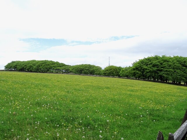
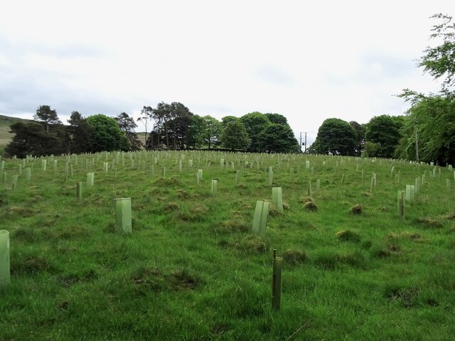
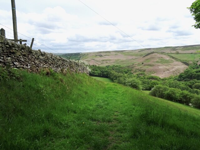
Four Acre Plantation is a picturesque woodland located in Derbyshire, England. Covering an area of approximately four acres, this plantation is nestled in the heart of the county, offering visitors a serene and tranquil escape from the hustle and bustle of city life.
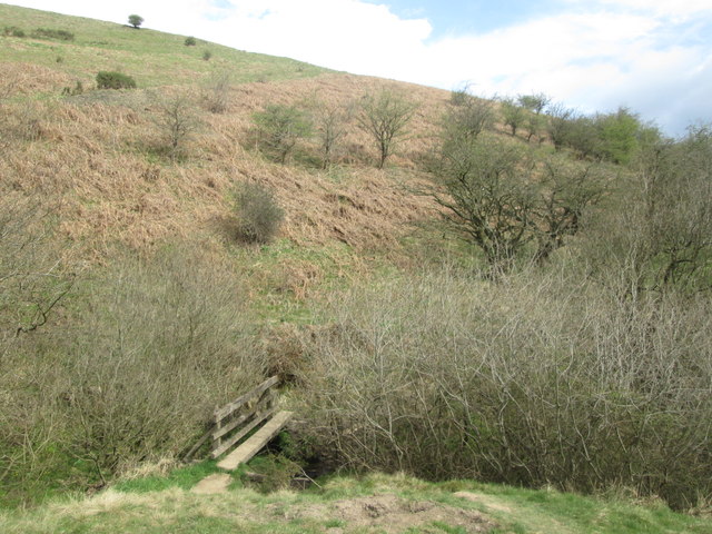
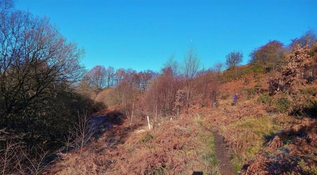
The plantation is predominantly composed of a diverse range of trees, including oak, beech, and birch, which create a dense and lush forest canopy. The woodland floor is rich in biodiversity, with a variety of wildflowers, ferns, and mosses adding to the enchanting atmosphere.
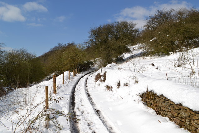
Walking trails meander through the plantation, allowing visitors to explore its natural beauty at their own pace. These paths are well-maintained and clearly marked, making it easy for visitors to navigate through the woodland. Along the way, benches are strategically placed, providing a perfect spot for visitors to rest and immerse themselves in the peaceful surroundings.
Four Acre Plantation is not only a haven for nature enthusiasts but also a sanctuary for wildlife. The diverse habitat supports a wide range of animal species, including squirrels, rabbits, and various bird species. Visitors may catch a glimpse of these creatures as they go about their daily activities.
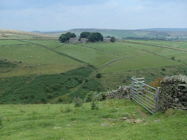
The plantation is open to the public year-round, with no admission fee. It is a popular destination for hikers, nature lovers, and families looking for a day of outdoor recreation. Whether visitors choose to take a leisurely stroll or embark on a more adventurous hike, Four Acre Plantation offers a serene retreat where one can connect with nature and experience the beauty of Derbyshire's woodlands.
If you have any feedback on the listing, please let us know in the comments section below.
Four Acre Plantation Images
Images are sourced within 2km of 53.29764/-1.6886617 or Grid Reference SK2077. Thanks to Geograph Open Source API. All images are credited.


Four Acre Plantation is located at Grid Ref: SK2077 (Lat: 53.29764, Lng: -1.6886617)
Administrative County: Derbyshire
District: Derbyshire Dales
Police Authority: Derbyshire
What 3 Words
///housework.stylist.rejected. Near Hathersage, Derbyshire
Nearby Locations
Related Wikis

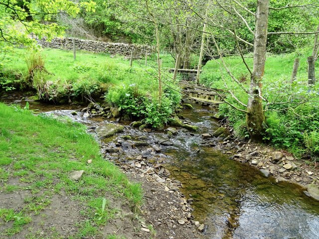
Jumber Brook
Jumber Brook is a stream in Eyam in the Derbyshire Peak District. The stream originates to the north of the village at Highcliffe. The brook flows south...

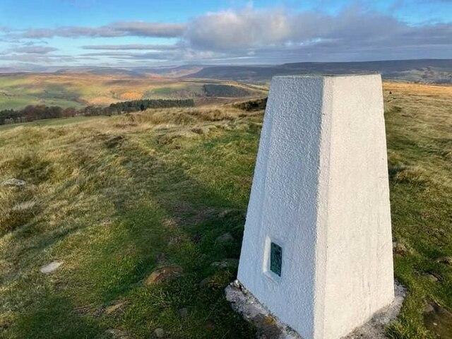
Eyam Moor
Eyam Moor is a plateau-topped hill between the villages of Eyam and Hathersage in Derbyshire, in the Peak District of England. The summit of Sir William...

Eyam Museum
Eyam Museum or as it is locally known Eyam Plague museum is a local museum in the village of Eyam, located in the Peak District, Derbyshire, England....

St Lawrence's Church, Eyam
St Lawrence’s Church, Eyam is a Grade II* listed parish church in the Church of England in Eyam, Derbyshire. == History == The church is medieval with...

Mompesson's Well
Mompesson's Well is a 17th-century grade II listed water well in Eyam, Derbyshire. == History == The well is named for Church of England priest William...
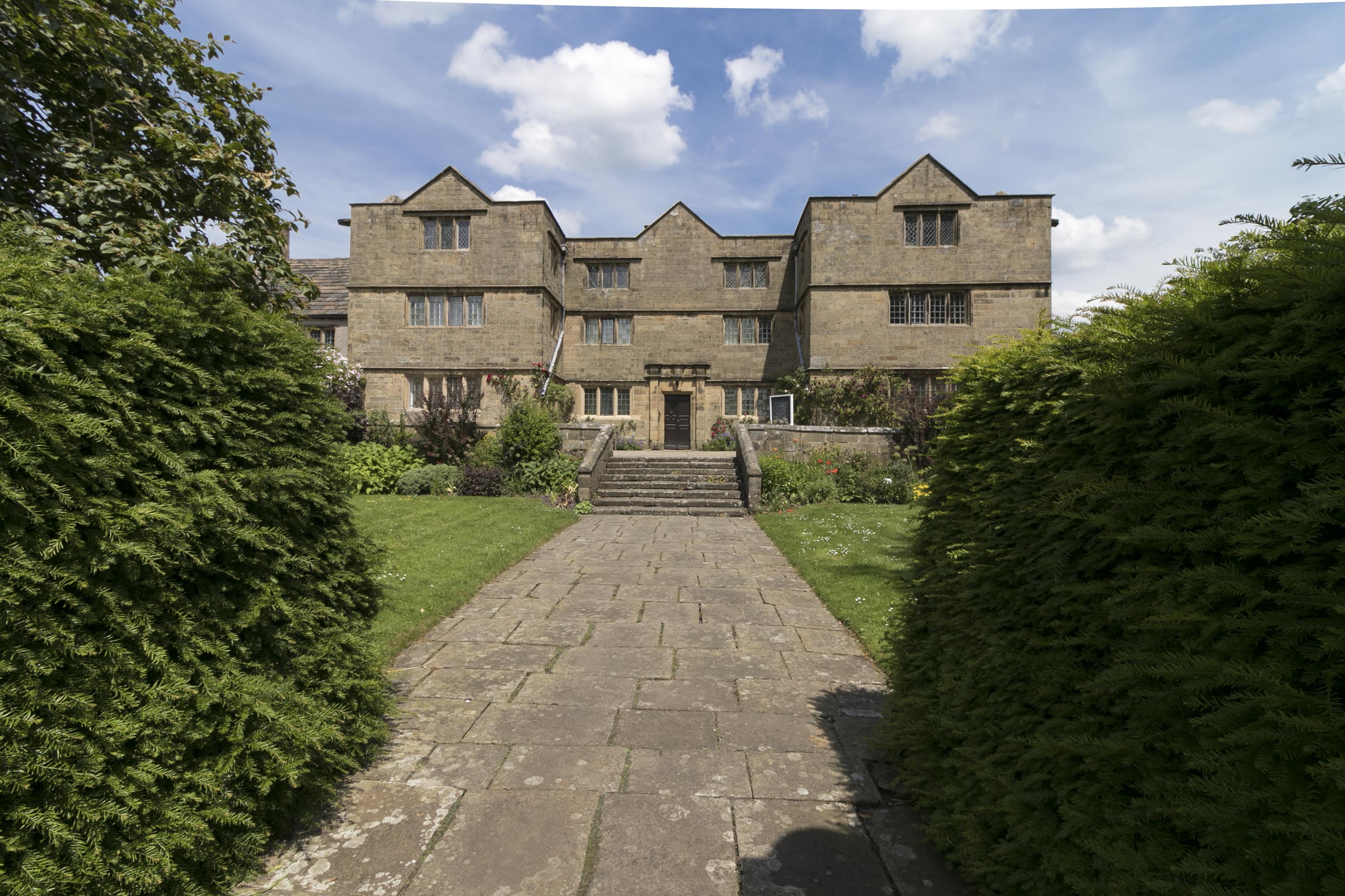
Eyam Hall
Eyam Hall is a country house within the civil parish of Eyam, Derbyshire, located to the west of St Lawrence's Church, Eyam. It is recorded in the National...

Highlow
Highlow is a civil parish within the Derbyshire Dales district, in the county of Derbyshire, England. Largely rural, Highlow's population is reported with...
Eyam
Eyam ( ) is an English village and civil parish in the Derbyshire Dales that lies within the Peak District National Park. There is evidence of early occupation...
Nearby Amenities
Located within 500m of 53.29764,-1.6886617Have you been to Four Acre Plantation?
Leave your review of Four Acre Plantation below (or comments, questions and feedback).