Bretton
Settlement in Flintshire
Wales
Bretton

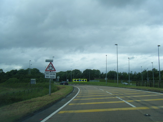
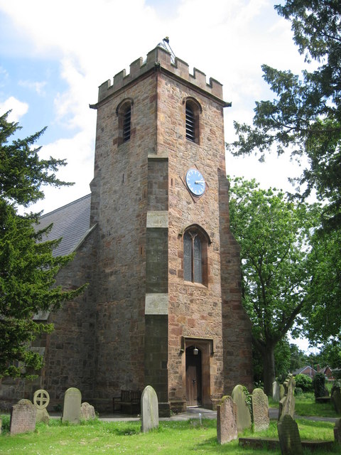
Bretton is a small village located in the county of Flintshire, Wales. Situated near the border with England, it is nestled amidst the scenic countryside on the eastern side of the Clwydian Range. The village is part of the community of Broughton, which encompasses several neighboring settlements.
Known for its tranquil and picturesque setting, Bretton offers residents and visitors a peaceful environment away from the hustle and bustle of urban life. The village is predominantly residential, with a small number of houses and cottages dotting the landscape. The architecture of the buildings is typically traditional, reflecting the region's rich history.
Despite its small size, Bretton boasts a strong sense of community and is known for its friendly residents. The village has a close-knit atmosphere and a vibrant community spirit, which is evident in the various local events and activities that take place throughout the year.
Surrounded by stunning natural beauty, Bretton provides ample opportunities for outdoor enthusiasts. The nearby Clwydian Range offers numerous walking and hiking trails, allowing visitors to explore the breathtaking scenery and enjoy panoramic views of the surrounding countryside.
For those seeking amenities and services, the larger town of Broughton is conveniently located just a short distance away. Here, residents can find a range of shops, restaurants, and other amenities to meet their daily needs.
Overall, Bretton is a charming village that offers a peaceful and idyllic lifestyle, making it an attractive place to live or visit for those seeking a slower pace of life amidst beautiful surroundings.
If you have any feedback on the listing, please let us know in the comments section below.
Bretton Images
Images are sourced within 2km of 53.16676/-2.968703 or Grid Reference SJ3563. Thanks to Geograph Open Source API. All images are credited.


Bretton is located at Grid Ref: SJ3563 (Lat: 53.16676, Lng: -2.968703)
Unitary Authority: Flintshire
Police Authority: North Wales
What 3 Words
///stores.smile.butter. Near Broughton, Flintshire
Nearby Locations
Related Wikis
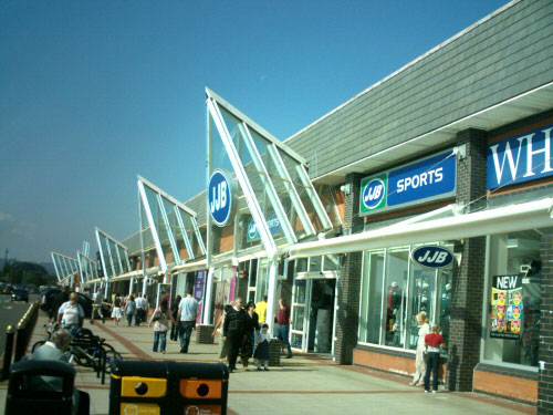
Broughton Shopping Park
Broughton Shopping Park (Welsh: Parc Siopa Brychdyn), also known as Broughton Centre (Welsh: Canolfan Brychdyn), is a retail park in Broughton, Flintshire...

Broughton & Bretton railway station
Broughton & Bretton railway station was a station in Bretton, Flintshire, Wales near Broughton, Flintshire. The station was opened on 14 August 1849 and...

Bretton Bridge
Bretton Bridge is a bridge in Flintshire, Wales. Situated between the villages of Broughton and Bretton, Bretton Bridge used to be a back-road link, often...

Bretton, Flintshire
Bretton is a village in Flintshire, Wales. It is located to the west of the city of Chester, near the border with Cheshire, England. Along with the nearby...
Broughton and Bretton
Broughton and Bretton is a community in Flintshire, Wales. It contains the villages of Broughton and Bretton, and had a population of 5,974 as of the 2011...
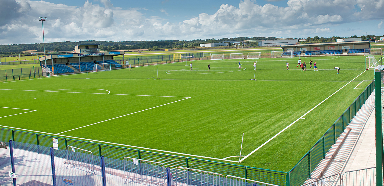
The Airfield
The Airfield, also known by its sponsored name as the Hollingsworth Group International Airfield, is a football stadium in Broughton, Flintshire, Wales...
Broughton, Flintshire
Broughton (Welsh: Brychdyn) is a large village in Flintshire, Wales, close to the Wales–England border, located to the west of the city of Chester, England...

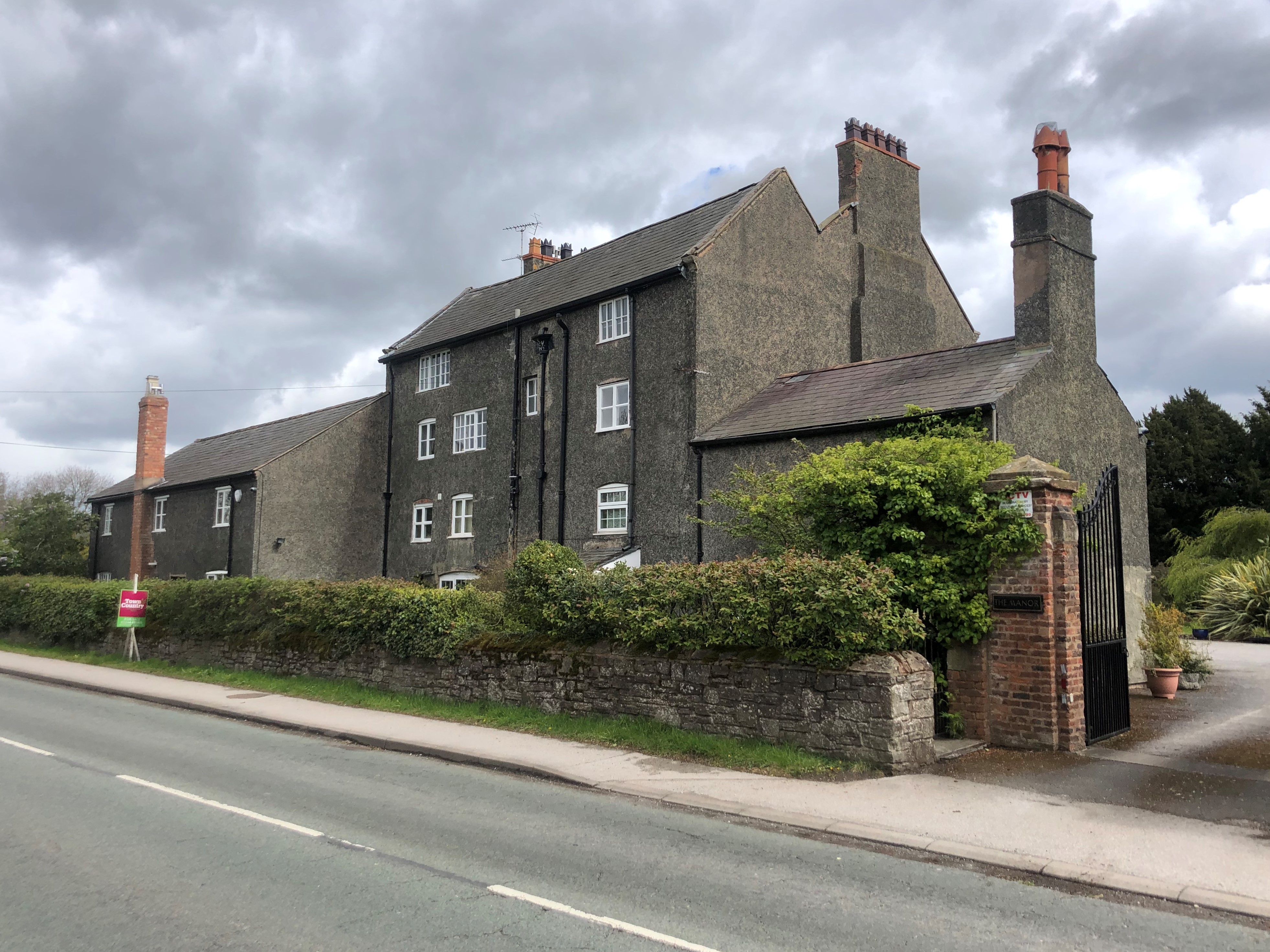
Bretton Hall, Flintshire
Bretton Hall is located on the border of England and Wales close to the village of Bretton, Flintshire, Wales. The original fortified manor house was surrounded...
Nearby Amenities
Located within 500m of 53.16676,-2.968703Have you been to Bretton?
Leave your review of Bretton below (or comments, questions and feedback).