Bettws
Community in Montgomeryshire
Wales
Bettws
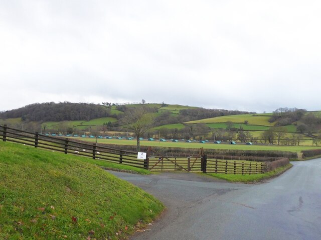
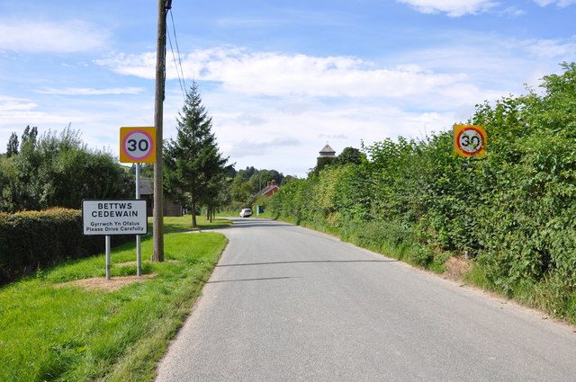
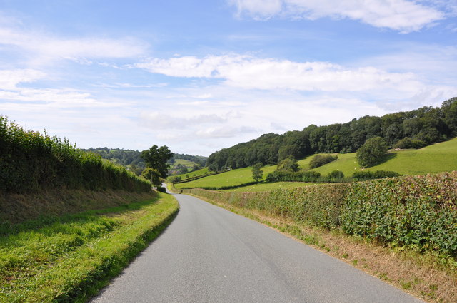
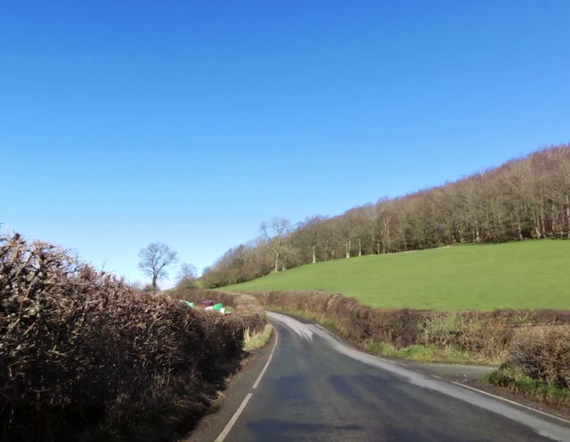
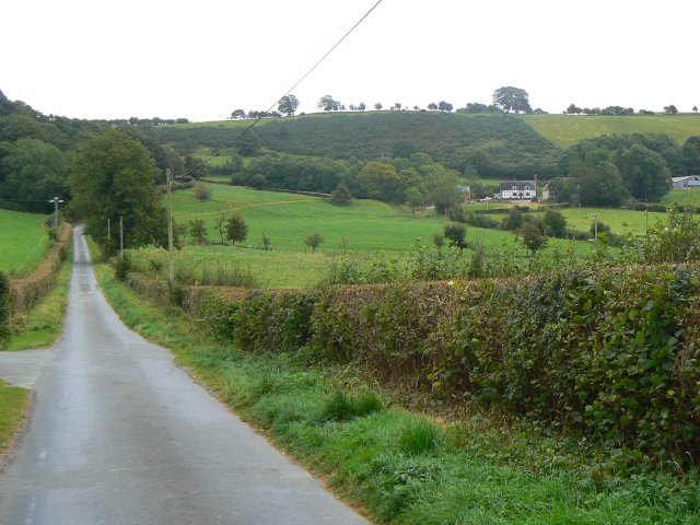
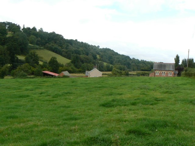
Bettws is a small but significant community located in Montgomeryshire, Powys, Wales. Situated in the heart of the picturesque Welsh countryside, it is surrounded by stunning landscapes and rolling hills. The community covers an area of approximately 10 square miles and is home to a population of around 500 residents.
Bettws boasts a rich history, with evidence of human habitation dating back thousands of years. It is believed that the area was settled during the Bronze Age, as evidenced by the presence of burial mounds and ancient monuments. The community's name itself is derived from the Welsh words "bedd" and "gwy" meaning "grave" and "water" respectively.
Despite its small size, Bettws offers a range of amenities and services for its residents. These include a primary school, community hall, and a local shop. The community also has a close-knit and vibrant community spirit, with various events and gatherings organized throughout the year.
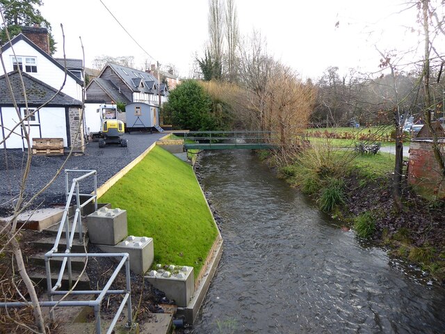
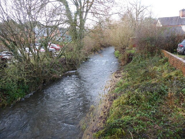
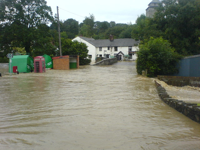
The surrounding natural beauty of Bettws makes it an ideal location for outdoor enthusiasts. The community is blessed with an abundance of walking and cycling trails that allow residents and visitors to explore the stunning countryside. Additionally, the nearby River Severn offers opportunities for fishing and boating.
Overall, Bettws is a charming and close community nestled within the idyllic Montgomeryshire countryside. It offers a peaceful and picturesque lifestyle for its residents, while also providing access to necessary amenities and a strong sense of community.
If you have any feedback on the listing, please let us know in the comments section below.
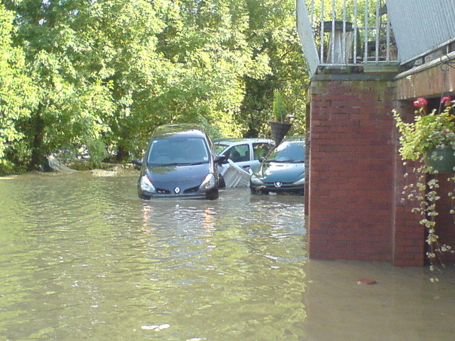
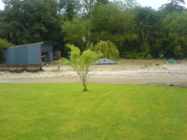
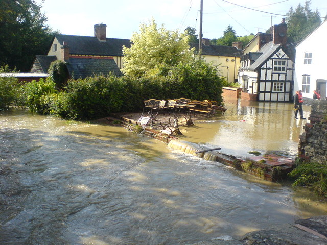
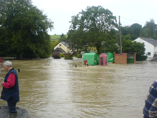
Bettws Images
Images are sourced within 2km of 52.560374/-3.295441 or Grid Reference SO1296. Thanks to Geograph Open Source API. All images are credited.


Bettws is located at Grid Ref: SO1296 (Lat: 52.560374, Lng: -3.295441)
Unitary Authority: Powys
Police Authority: Dyfed Powys
Also known as: Betws
What 3 Words
///birds.belonged.dunk. Near Newtown, Powys
Nearby Locations
Related Wikis
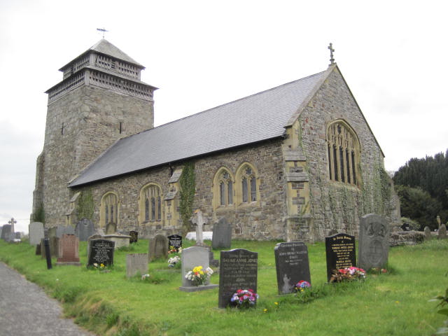
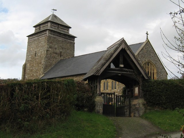
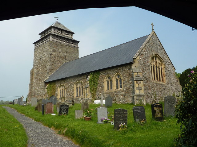
St Beuno's Church, Bettws Cedewain
St Beuno's Church, Bettws Cedewain lies within the historic county of Montgomeryshire in Powys. The church occupies a prominent position overlooking the...
Bettws Cedewain
Bettws Cedewain (Welsh: Betws Cedewain), also known as Bettws Cedewen, is a small village and community in Montgomeryshire, Powys, Wales. It lies in a...

Aberbechan Hall
Aberbechan Hall was a timber framed mansion in the township of Aberbechan within the parish of Llanllwchaearn in the historic county of Montgomeryshire...
Tregynon
Tregynon is a small village and community in Montgomeryshire, Powys, Wales, to the north of Newtown and south west of Welshpool. The population of the...
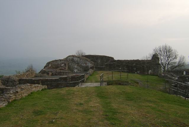
Dolforwyn Castle
Dolforwyn Castle (Welsh: Castell Dolforwyn) is a Welsh medieval castle above the village of Abermule, Powys. The fortification was established by Llywelyn...
Yew tree cottage
Situated under the ramparts of Dolforwyn Castle, near Abermule in the Welsh county of Powys in the United Kingdom, Yew tree cottage is a part 17th century...
Aberbechan
Aberbechan was formerly a township in the parish of Llanllwchaearn in the historic county of Montgomeryshire. The township of Aberbechan was transferred...

Gregynog Hall
Gregynog (Welsh pronunciation: [ɡrɛˈɡənɔɡ]) is a large country mansion in the village of Tregynon, 4 miles (6.4 km) northwest of Newtown in the old county...
Nearby Amenities
Located within 500m of 52.560374,-3.295441Have you been to Bettws?
Leave your review of Bettws below (or comments, questions and feedback).