Betws
Community in Carmarthenshire
Wales
Betws
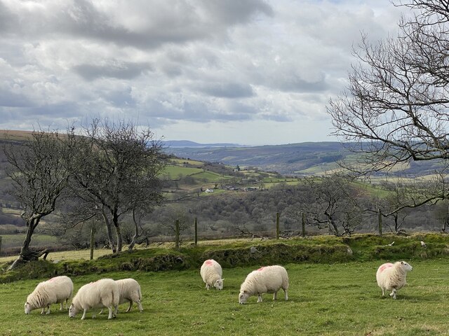
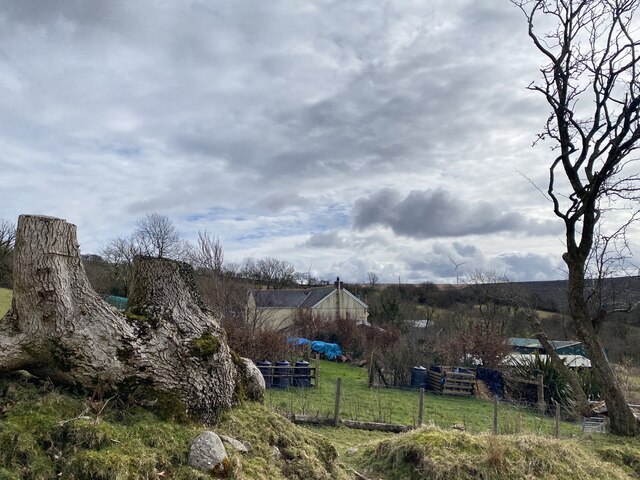
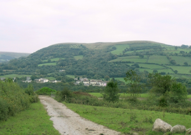
Betws is a charming community located in the county of Carmarthenshire, Wales. Situated in the scenic Gwendraeth Valley, it is surrounded by beautiful countryside and rolling hills, providing a picturesque setting for residents and visitors alike.
The community of Betws consists of several small villages and hamlets, including Betws itself, Pontyberem, Tumble, and Cross Hands. These settlements offer a variety of amenities and services, catering to the needs of the local population. The area is well-connected, with good transportation links to nearby towns and cities, such as Llanelli and Carmarthen.
Betws is known for its strong sense of community and friendly atmosphere. The residents take pride in their heritage and traditions, often organizing events and festivals to celebrate their local culture. The community is also home to a number of historical landmarks, including St. David's Church, which dates back to the 12th century.
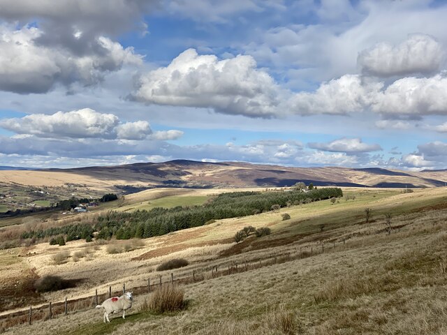
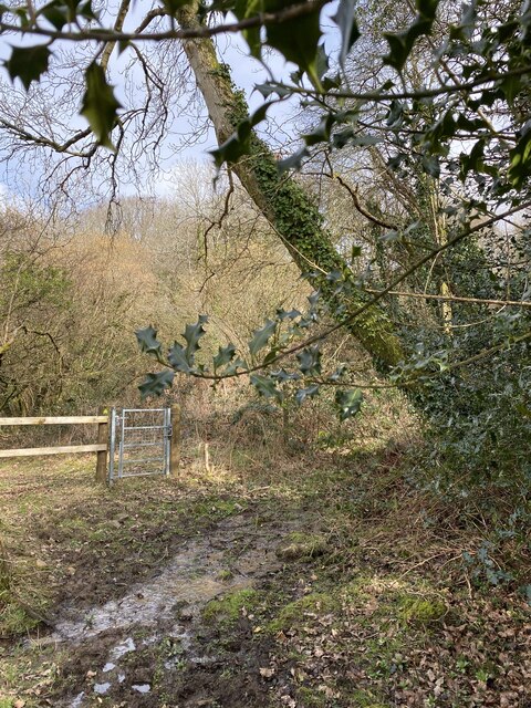
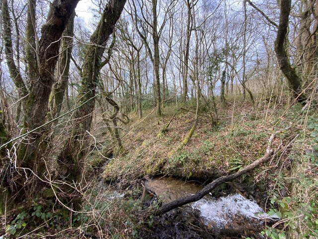
Nature enthusiasts will find plenty to explore in Betws, with numerous walking and cycling trails crisscrossing the surrounding countryside. The nearby Gwendraeth River offers opportunities for fishing and boating, while the nearby Brechfa Forest provides a haven for wildlife and outdoor activities.
In terms of education, Betws boasts a range of schools, catering to students of all ages. These educational institutions strive to provide a quality learning environment for local children, ensuring they receive a well-rounded education.
Overall, Betws in Carmarthenshire is a delightful community that combines natural beauty, a strong sense of community, and a rich history, making it an attractive place to live or visit.
If you have any feedback on the listing, please let us know in the comments section below.
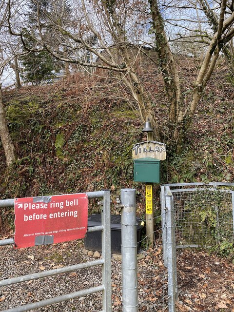
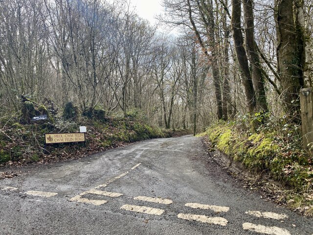
Betws Images
Images are sourced within 2km of 51.78103/-3.964961 or Grid Reference SN6410. Thanks to Geograph Open Source API. All images are credited.


Betws is located at Grid Ref: SN6410 (Lat: 51.78103, Lng: -3.964961)
Unitary Authority: Carmarthenshire
Police Authority: Dyfed-Powys
What 3 Words
///cuts.towel.agency. Near Ammanford, Carmarthenshire
Nearby Locations
Related Wikis
Betws, Carmarthenshire
Betws (meaning: chapel house) is a small village and community on the River Amman in Carmarthenshire, Wales, some 15 miles north of Swansea; it is part...
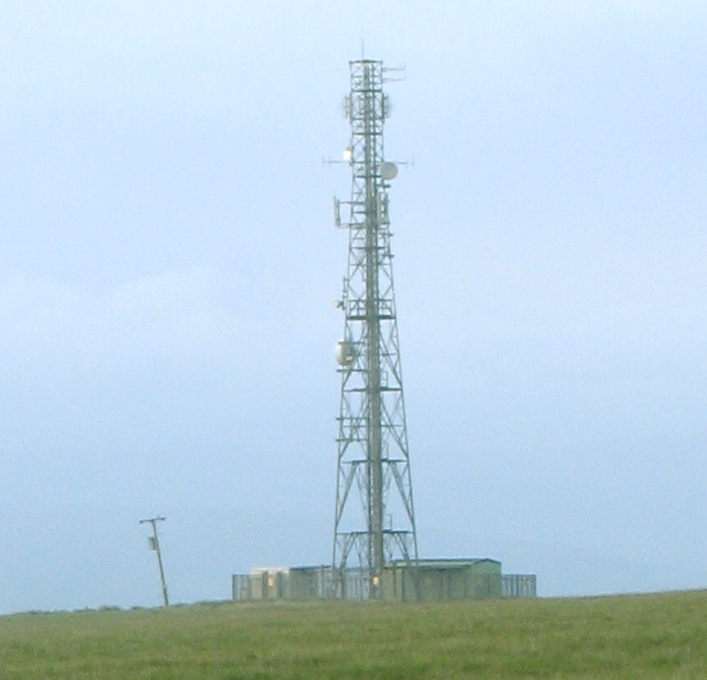
Ammanford transmitting station
The Ammanford transmitting station is a broadcasting and telecommunications facility located on Mynydd y Betws about 6 km (4 mi) to the south east of the...

Ammanford Colliery Halt railway station
Ammanford Colliery Halt railway station served the colliery near Ammanford, West Wales. Opened to serve the colliery, the station closed, leaving the current...
Ammanford railway station (GWR)
Ammanford railway station was opened under the name Cross Inn by the Llanelly Railway in 1840 to serve the town of Ammanford, West Wales. It was renamed...
Pontamman
Pontamman was the name of an electoral ward for Carmarthenshire County Council, which included parts of the town and community of Ammanford, Carmarthenshire...
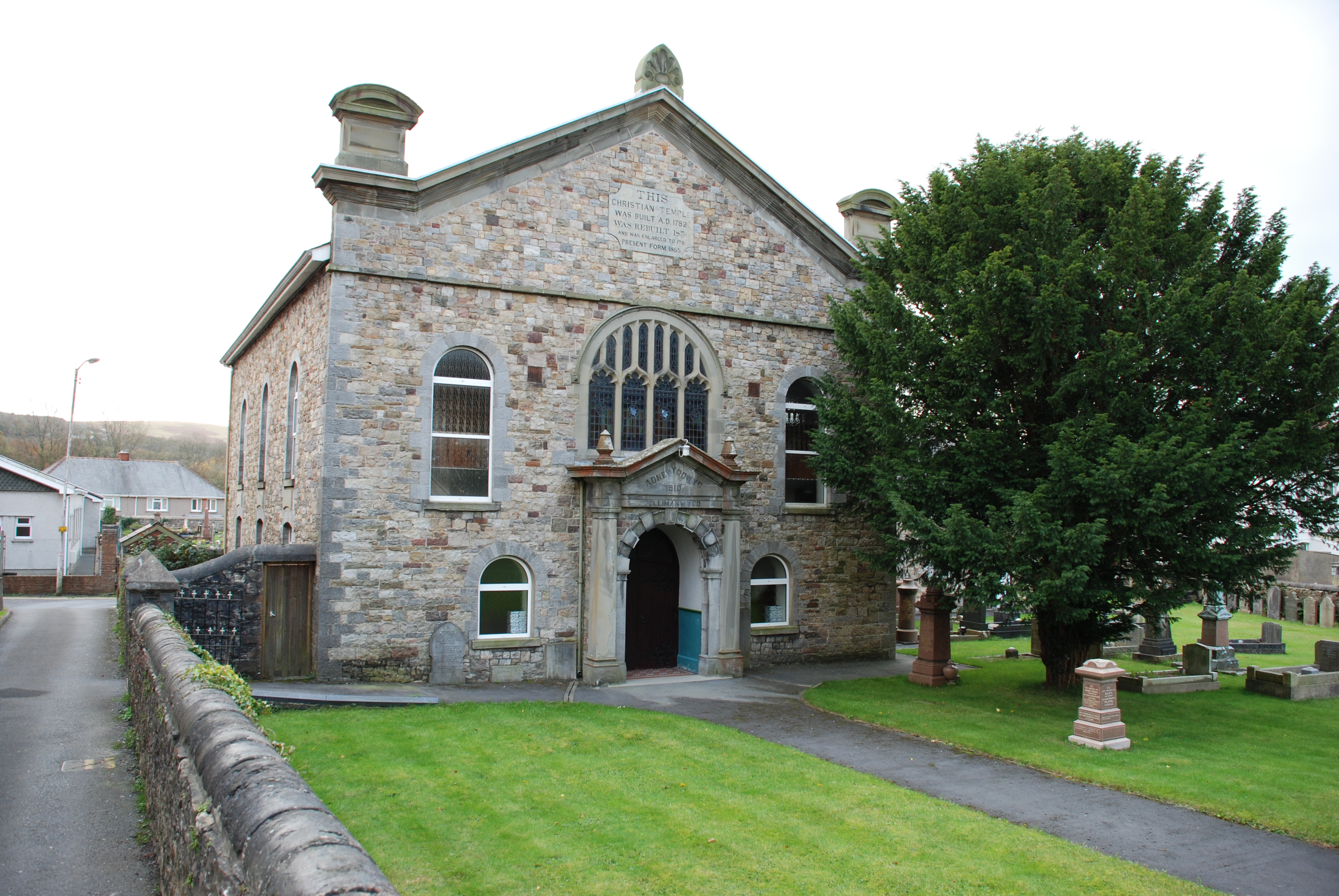
Gellimanwydd Chapel
Gellimanwydd Chapel, also known as the Christian Temple, is an Independent (Congregationalist) chapel in Ammanford, Carmarthenshire, Wales. Services at...
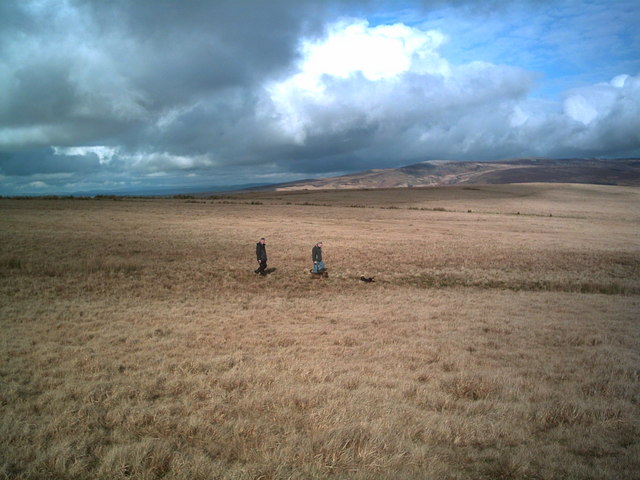
Mynydd y Betws
Mynydd y Betws is a mountain or large hill located on the northern side of the border between Swansea and Carmarthenshire in South Wales, between Ammanford...

River Amman
The River Amman (Welsh: Afon Aman) is a river of south Wales, which joins the River Loughor at Pantyffynnon. The source of the Amman is on the Black Mountain...
Nearby Amenities
Located within 500m of 51.78103,-3.964961Have you been to Betws?
Leave your review of Betws below (or comments, questions and feedback).