Betws Garmon

Community in Caernarfonshire

Wales

Betws Garmon

Tomenydd llechi Moel Tryfan / Moel Tryfan slate tips
Tomenydd llechi Moel Tryfan / Moel Tryfan slate tips Credit: Ceri Thomas

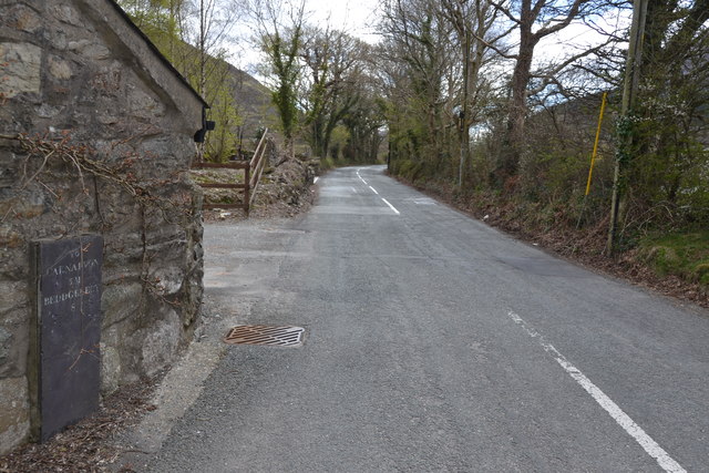
Betws Garmon is a small community located in the historical county of Caernarfonshire, Wales. Situated in the picturesque Snowdonia National Park, it is nestled between the towns of Caernarfon and Beddgelert. The community covers an area of approximately 15 square miles and has a population of around 400 people.

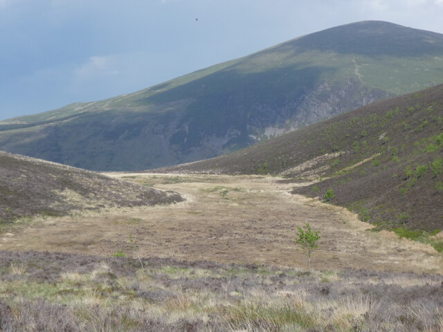
The community is known for its stunning natural beauty and is surrounded by majestic mountains, lush valleys, and glistening lakes. Its prime location makes it a popular destination for outdoor enthusiasts and nature lovers. The area offers ample opportunities for hiking, mountain biking, fishing, and birdwatching.

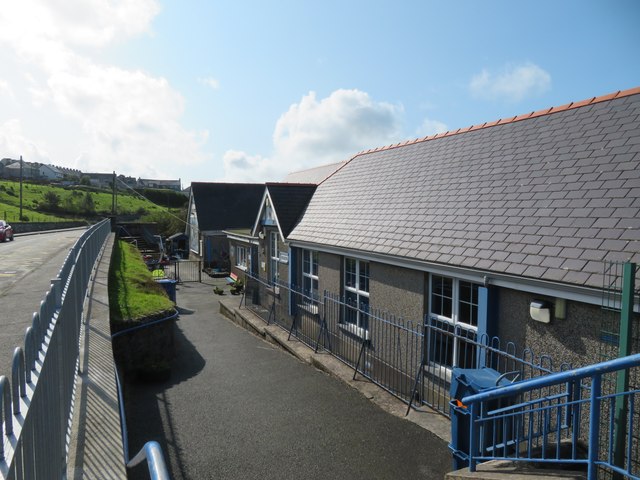
In terms of infrastructure, Betws Garmon has a small primary school that serves the local children. There is also a village hall that hosts various community events and gatherings. The community has a close-knit and friendly atmosphere, and residents often engage in activities that promote community cohesion.

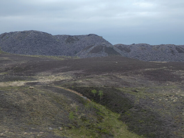
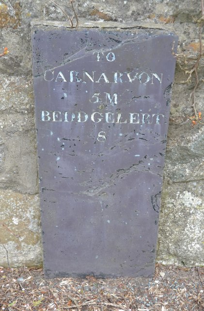
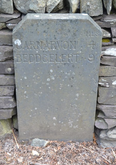
Historically, Betws Garmon was known for its slate mining industry, which played a significant role in the economic development of the area. The remnants of old mining buildings and quarries can still be seen in some parts of the community, adding to its historical charm.

Overall, Betws Garmon offers a tranquil and idyllic setting for those seeking a peaceful retreat in the heart of the Welsh countryside. With its breathtaking natural landscapes and rich history, it continues to attract visitors and residents alike who appreciate the beauty and serenity it has to offer.

If you have any feedback on the listing, please let us know in the comments section below.

Betws Garmon Images

Images are sourced within 2km of 53.094963/-4.205749 or Grid Reference SH5257. Thanks to Geograph Open Source API. All images are credited.

Tomenydd llechi Moel Tryfan / Moel Tryfan slate tips
Cors fynydd / An upland bog
Taking water at Waunfawr Beyer-Garratt locomotive No. NGG16-143 taking water at Waunfawr station before departing for Rhyd-Ddu and Beddgelert on the Welsh Highland Railway.
Taking water at Waunfawr
Beyer-Garratt locomotive No. NGG16-143 taking water at Waunfawr station before departing for Rhyd-Ddu and Beddgelert on the Welsh Highland Railway.
Capel Rhosgadfan 1876 Photographed by Eric Jones several years ago, but now looking abandoned and deteriorating with a few holes in the roof.
Capel Rhosgadfan 1876
Photographed by Eric Jones several years ago, but now looking abandoned and deteriorating with a few holes in the roof.
Primary school, Rhosgadfan Tucked into the hillside in this elevated ex-slate quarrying village.
Primary school, Rhosgadfan
Tucked into the hillside in this elevated ex-slate quarrying village.
Near the road end above Rhosgadfan The public road extends as far as Hafod Ruffydd Farm, which is seen in the distance.
Near the road end above Rhosgadfan
The public road extends as far as Hafod Ruffydd Farm, which is seen in the distance.
Across a soggy moor towards Mynydd Mawr There should be a path here somewhere, but after recent rains it seemed easier just to follow the driest ground. Ahead is the bulk of Mynydd Mawr and its steep northern flank which is Cwm Du.
Across a soggy moor towards Mynydd Mawr
There should be a path here somewhere, but after recent rains it seemed easier just to follow the driest ground. Ahead is the bulk of Mynydd Mawr and its steep northern flank which is Cwm Du.
Waymarker post on the moor The post marks the line of the Snowdonia Slate Trail which crosses at right angles here. Ahead, beyond the forest and valley, is the bulk of Moel Eilio at 726m
Waymarker post on the moor
The post marks the line of the Snowdonia Slate Trail which crosses at right angles here. Ahead, beyond the forest and valley, is the bulk of Moel Eilio at 726m
View from the edge of the moor Heather and gorse in the foreground with Caernarfon and the Menai Strait in the distance.
View from the edge of the moor
Heather and gorse in the foreground with Caernarfon and the Menai Strait in the distance.
At the edge of the moor Enclosed land to the left and open moorland to the right. The pointed mountain in the distance looks like Elidir Fawr [but I could be wrong].
At the edge of the moor
Enclosed land to the left and open moorland to the right. The pointed mountain in the distance looks like Elidir Fawr [but I could be wrong].
Terraced houses at Waunfawr The main road [A4085] running through the village of Waunfawr.
Terraced houses at Waunfawr
The main road [A4085] running through the village of Waunfawr.
Ordnance Survey Pivot This OS pivot can be found on a rock face adjacent to the pillar on the top of Moel Tryfan.
Ordnance Survey Pivot
This OS pivot can be found on a rock face adjacent to the pillar on the top of Moel Tryfan.
Old Milestone Old milestone on the A4085 near to Betws Garmon, Gwynedd. For overall view see <a title="https://www.geograph.org.uk/photo/5070518" href="https://www.geograph.org.uk/photo/5070518">Link</a>
Old Milestone
Old milestone on the A4085 near to Betws Garmon, Gwynedd. For overall view see Link
Beddgelert 8 Old milestone on the A4085 near to Betws Garmon, Gwynedd. For close up view see <a title="https://www.geograph.org.uk/photo/5070512" href="https://www.geograph.org.uk/photo/5070512">Link</a>
Beddgelert 8
Old milestone on the A4085 near to Betws Garmon, Gwynedd. For close up view see Link
Old Milestone Old milestone on the A4085 near to Waunfawr, Gwynedd. For overall view see <a title="https://www.geograph.org.uk/photo/5070531" href="https://www.geograph.org.uk/photo/5070531">Link</a>.
Old Milestone
Old milestone on the A4085 near to Waunfawr, Gwynedd. For overall view see Link.
Beddgelert 9 Old milestone on the A4085 near to Waunfawr, Gwynedd. For close up view see <a title="https://www.geograph.org.uk/photo/5070526" href="https://www.geograph.org.uk/photo/5070526">Link</a>
Beddgelert 9
Old milestone on the A4085 near to Waunfawr, Gwynedd. For close up view see Link
Ordnance Survey Cut Mark This OS cut mark can be found on the front of St Garmon's Church. It marks a point 129.159m above mean sea level.
Ordnance Survey Cut Mark
This OS cut mark can be found on the front of St Garmon's Church. It marks a point 129.159m above mean sea level.
Triangulation pillar The trig pillar atop the magnificent rock outcrop at the summit of Moel Tryfan.
Triangulation pillar
The trig pillar atop the magnificent rock outcrop at the summit of Moel Tryfan.
Show me another place!

Betws Garmon is located at Grid Ref: SH5257 (Lat: 53.094963, Lng: -4.205749)

Unitary Authority: Gwynedd

Police Authority: North Wales

What 3 Words

///retained.tallest.dialects. Near Llanwnda, Gwynedd

Nearby Locations

Betws Garmon Moel Smytho

Related Wikis

Betws Garmon

Betws Garmon is a community and small hamlet outside Waunfawr and near Beddgelert in Gwynedd, Wales. It has a population of 249.The summit of Snowdon...

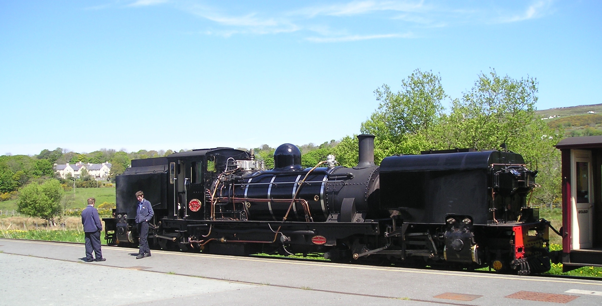
Waunfawr railway station

Waunfawr is a station on the narrow gauge Welsh Highland Railway, which was built in 1877 as the North Wales Narrow Gauge Railways Moel Tryfan Undertaking...

Alexandra quarry

Alexandra quarry was a slate quarry in North Wales, on the slopes of Moel Tryfan in north Gwynedd. It was part of one of the major slate quarrying regions...

Moel Tryfan

Moel Tryfan (429 m / 1407 ft) is a small mountain near the villages of Rhosgadfan, Y Fron and Betws Garmon, in northern Gwynedd. The higher and more famous...

Nearby Amenities

Located within 500m of 53.094963,-4.205749
Moel Smytho
Ele: 340
Natural: peak
Lat/Long: 53.0957332/-4.2103981
Barrier: kissing_gate
Lat/Long: 53.0931622/-4.2091366
Turning Circle
Lat/Long: 53.092824/-4.200511
The data included in this document is from www.openstreetmap.org. The data is made available under ODbL.

Have you been to Betws Garmon?

Leave your review of Betws Garmon below (or comments, questions and feedback).