Betws
Community in Montgomeryshire
Wales
Betws
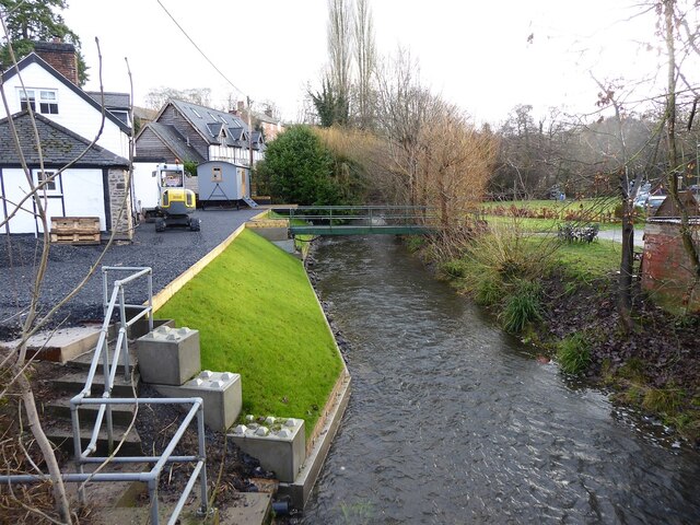
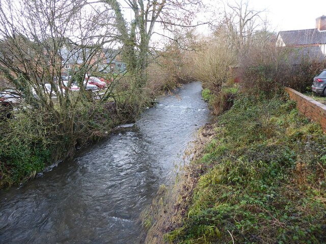
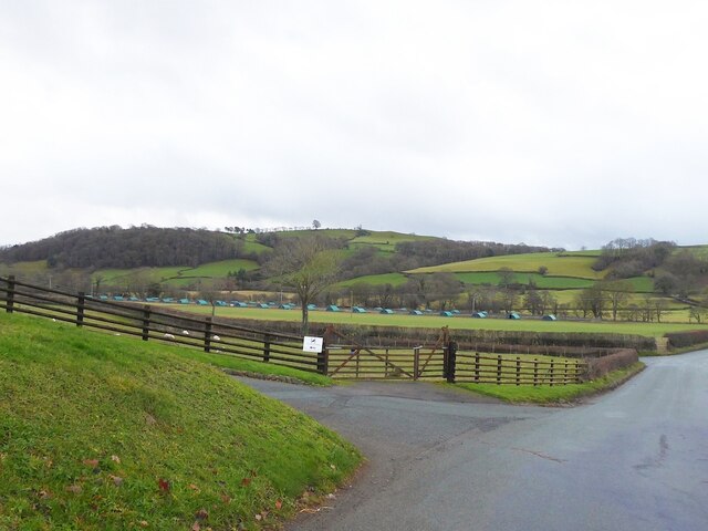
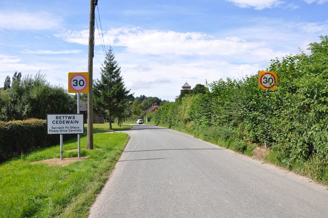
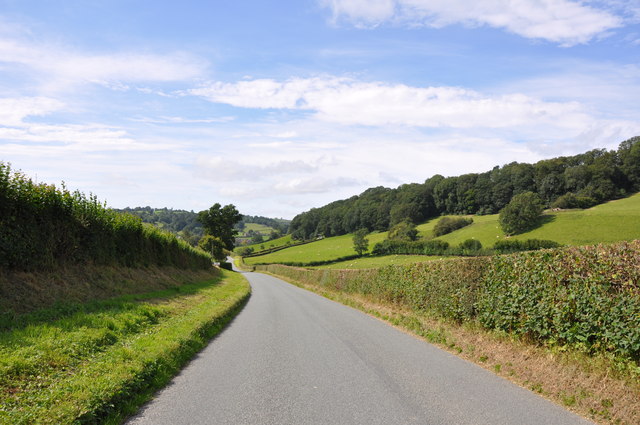
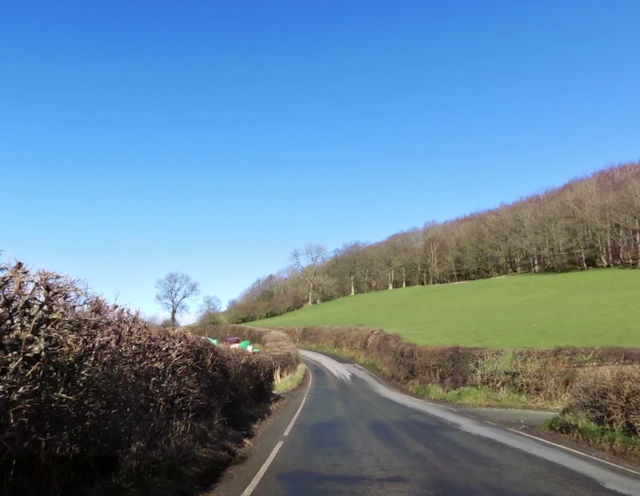
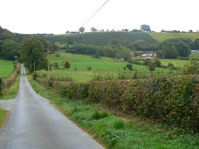
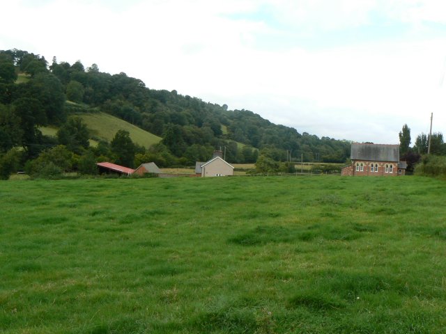
Betws is a small community located in Montgomeryshire, a historic county in Wales, United Kingdom. It is situated in the beautiful rural countryside, surrounded by rolling hills and lush green landscapes. The community is nestled in the upper valley of the River Banwy, which adds to its picturesque charm.
Betws is known for its close-knit community and friendly atmosphere. It is home to a population of approximately 500 residents, who enjoy a peaceful and tranquil lifestyle. The community has a strong sense of pride in its Welsh heritage and traditional customs, which are often celebrated through various cultural events and festivals.
Despite its small size, Betws offers a range of amenities and facilities to its residents. The community has a local school, providing education for children up to the age of 11. There is also a village hall, which serves as a hub for community gatherings and social events. In addition, Betws has a local pub, where residents can relax and socialize.
Nature lovers are drawn to Betws for its natural beauty and outdoor recreational opportunities. The surrounding countryside offers scenic walking trails, perfect for exploring the area's flora and fauna. The River Banwy is also a popular spot for fishing enthusiasts.
Overall, Betws is a charming and peaceful community, offering a tranquil lifestyle in the heart of the Montgomeryshire countryside. Its strong sense of community and stunning natural surroundings make it an attractive place to live or visit.
If you have any feedback on the listing, please let us know in the comments section below.
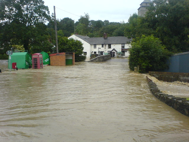
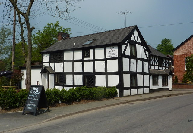
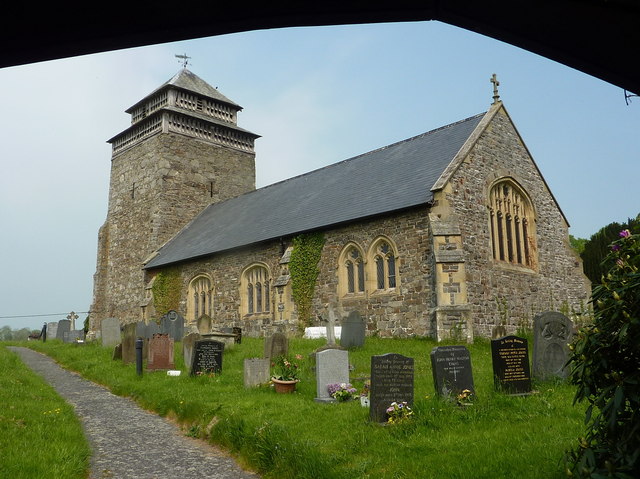
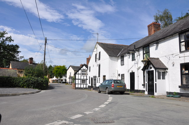
Betws Images
Images are sourced within 2km of 52.560374/-3.295441 or Grid Reference SO1296. Thanks to Geograph Open Source API. All images are credited.


Betws is located at Grid Ref: SO1296 (Lat: 52.560374, Lng: -3.295441)
Unitary Authority: Powys
Police Authority: Dyfed Powys
Also known as: Bettws
What 3 Words
///birds.belonged.dunk. Near Newtown, Powys
Related Wikis
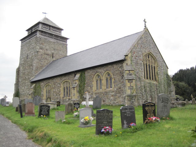
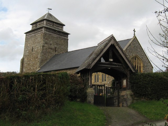
St Beuno's Church, Bettws Cedewain
St Beuno's Church, Bettws Cedewain lies within the historic county of Montgomeryshire in Powys. The church occupies a prominent position overlooking the...
Bettws Cedewain
Bettws Cedewain (Welsh: Betws Cedewain), also known as Bettws Cedewen, is a small village and community in Montgomeryshire, Powys, Wales. It lies in a...

Aberbechan Hall
Aberbechan Hall was a timber framed mansion in the township of Aberbechan within the parish of Llanllwchaearn in the historic county of Montgomeryshire...
Tregynon
Tregynon is a small village and community in Montgomeryshire, Powys, Wales, to the north of Newtown and south west of Welshpool. The population of the...
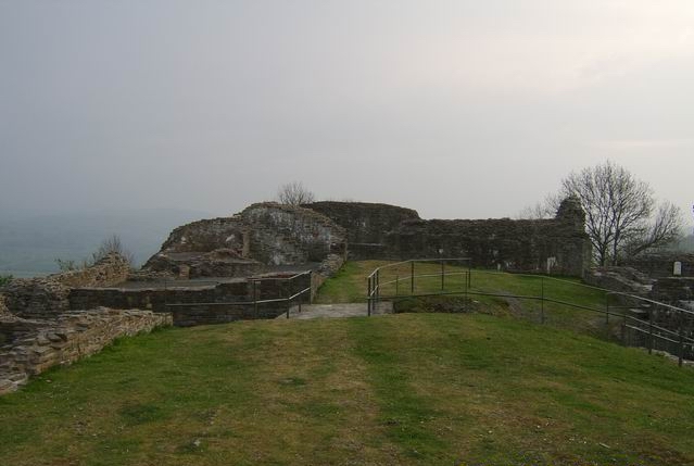
Dolforwyn Castle
Dolforwyn Castle (Welsh: Castell Dolforwyn) is a Welsh medieval castle above the village of Abermule, Powys. The fortification was established by Llywelyn...
Yew tree cottage
Situated under the ramparts of Dolforwyn Castle, near Abermule in the Welsh county of Powys in the United Kingdom, Yew tree cottage is a part 17th century...
Aberbechan
Aberbechan was formerly a township in the parish of Llanllwchaearn in the historic county of Montgomeryshire. The township of Aberbechan was transferred...

Gregynog Hall
Gregynog (Welsh pronunciation: [ɡrɛˈɡənɔɡ]) is a large country mansion in the village of Tregynon, 4 miles (6.4 km) northwest of Newtown in the old county...
Nearby Amenities
Located within 500m of 52.560374,-3.295441Have you been to Betws?
Leave your review of Betws below (or comments, questions and feedback).