Bettws
Community in Monmouthshire
Wales
Bettws
Bettws is a small community located in the county of Monmouthshire, Wales. Situated in the eastern part of the county, the community is nestled in a picturesque rural setting, surrounded by lush green fields and rolling hills. It is located approximately 8 miles north of the town of Newport and about 15 miles east of the city of Cardiff.
Bettws is a close-knit community with a population of around 1,500 residents. The community is known for its friendly and welcoming atmosphere, and its residents take great pride in maintaining a strong sense of community spirit. The area is predominantly residential, with a mix of both modern housing developments and traditional Welsh cottages.
The community is home to a primary school, which serves the local children, providing them with a quality education. Additionally, there are a few small businesses and shops scattered throughout the area, offering convenience to the residents.
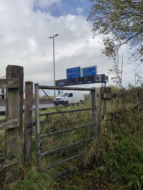
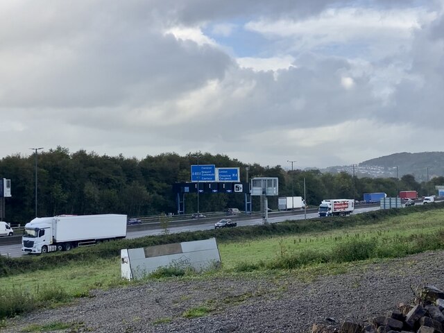
Despite its rural location, Bettws benefits from excellent transport links, with easy access to major road networks. This makes it an ideal location for those who wish to enjoy a peaceful countryside lifestyle while still being within commuting distance of nearby towns and cities.
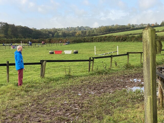
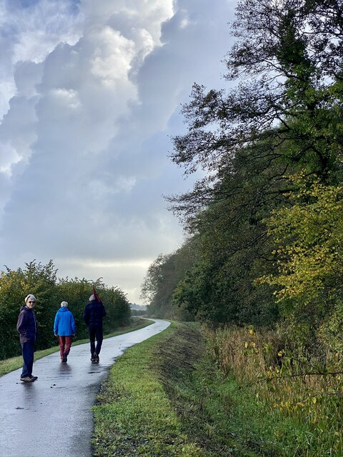
Surrounded by beautiful natural landscapes, Bettws is a haven for outdoor enthusiasts. The community is situated close to several nature reserves and parks, providing opportunities for walking, cycling, and exploring the local wildlife.
Overall, Bettws is a charming and tranquil community, offering a high quality of life for its residents with its beautiful surroundings, strong community ties, and convenient location.
If you have any feedback on the listing, please let us know in the comments section below.
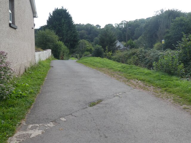
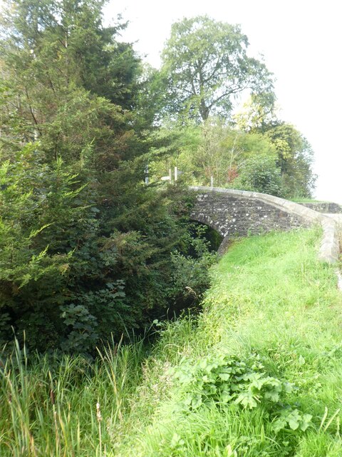
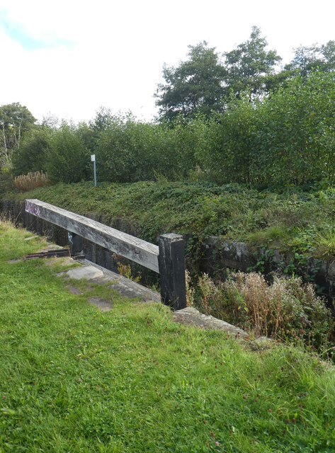
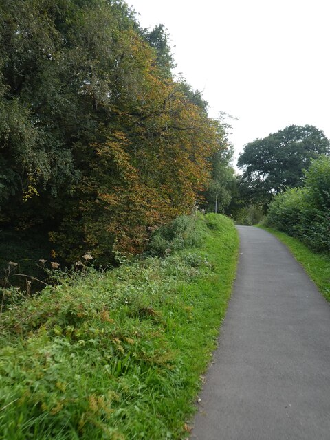
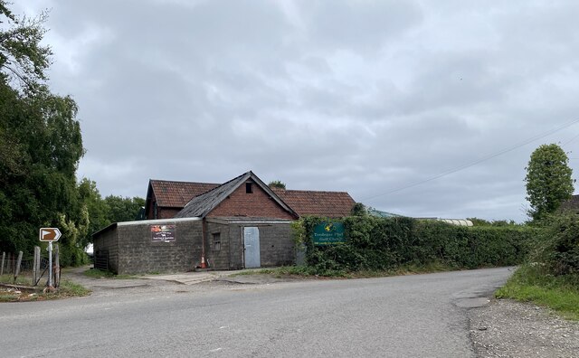
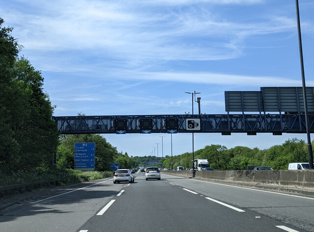
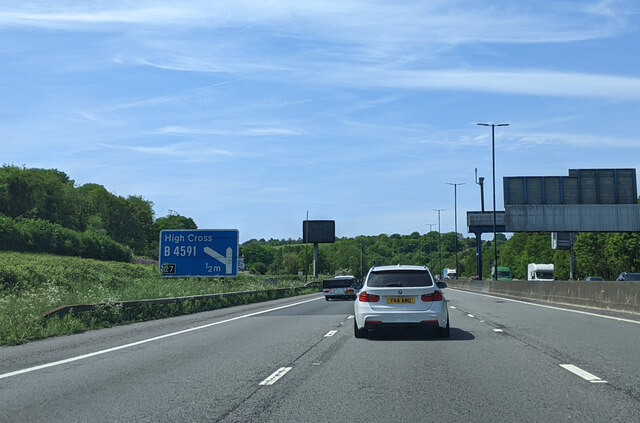
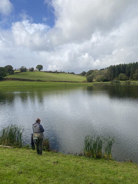
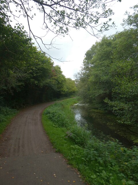
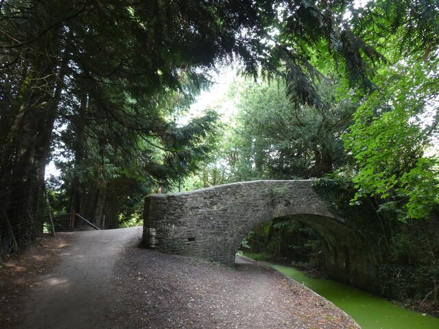
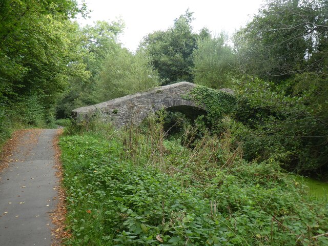
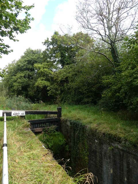
Bettws Images
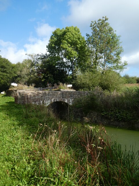
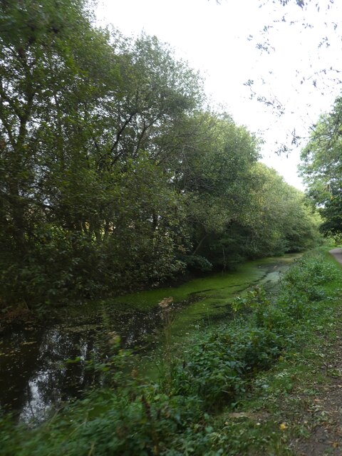
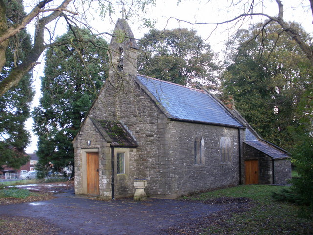
Images are sourced within 2km of 51.608955/-3.028723 or Grid Reference ST2890. Thanks to Geograph Open Source API. All images are credited.
Bettws is located at Grid Ref: ST2890 (Lat: 51.608955, Lng: -3.028723)
Unitary Authority: Newport
Police Authority: Gwent
Also known as: Betws
What 3 Words
///hears.begins.stow. Near Newport
Nearby Locations
Related Wikis
Bettws, Newport
Bettws (Welsh: Betws) is a large modern housing estate, electoral ward and coterminous community (parish) of the city of Newport, South Wales. == Etymology... ==

Newport High School (Wales)
Newport High School (Welsh: Ysgol Uwchradd Casnewydd) is a co-educational secondary school in the Bettws district of the city of Newport, South Wales,...

Malpas, Newport
Malpas is an electoral district (ward) and coterminous community (parish) of the city of Newport, South Wales. The area is governed by the Newport City...
Rougemont School
Rougemont School (Welsh: Ysgol Rougemont) is an independent co-educational day school located in the manor house Llantarnam Hall in south Wales. The school...

St Joseph's Hospital, Newport
St Joseph's Hospital is one of the largest privately owned hospitals in Wales. It is situated on Harding Avenue, Malpas, Newport. == History == === Origins... ===

Raglan Barracks, Newport
Raglan Barracks is a military installation at Barrack Hill in Allt-yr-yn in Newport, Wales. == History == The barracks were built as a cavalry barracks...

Brynglas
Brynglas is an area of the city of Newport, South Wales, United Kingdom. == Location == Brynglas is situated above the M4 motorway in Newport and famous...

Fourteen Locks
Fourteen Locks (grid reference ST277886) is a series of locks, also known as the Cefn Flight, on the Crumlin arm of the Monmouthshire Canal at Rogerstone...
Nearby Amenities
Located within 500m of 51.608955,-3.028723Have you been to Bettws?
Leave your review of Bettws below (or comments, questions and feedback).