Cefn-dinas Coppice
Wood, Forest in Montgomeryshire
Wales
Cefn-dinas Coppice
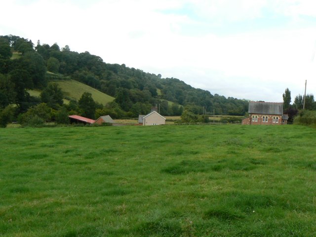
Cefn-dinas Coppice is a picturesque woodland located in Montgomeryshire, Wales. Covering an area of approximately 100 acres, it is a haven for nature enthusiasts and those seeking tranquility amidst the beauty of the natural world.
The woodland is characterized by a diverse range of tree species, including oak, beech, and birch, which create a vibrant and enchanting canopy. The forest floor is adorned with a rich variety of flora, such as bluebells, wild garlic, and ferns, offering a stunning display of colors and textures throughout the seasons.
Cefn-dinas Coppice is home to a wide array of wildlife, making it a prime destination for birdwatchers and wildlife lovers. Visitors may catch a glimpse of native birds such as woodpeckers, owls, and red kites soaring above the treetops. Badgers, foxes, and squirrels are also frequently spotted within the woodland, adding to its natural charm.
The forest offers several well-marked trails, providing visitors with the opportunity to explore its hidden treasures. These trails wind through ancient trees and babbling brooks, creating a sense of adventure and discovery. Visitors can also enjoy a picnic or simply relax in designated areas, taking in the peaceful ambiance of the forest.
In addition to its natural beauty, Cefn-dinas Coppice has historical significance. It is believed to have been used as a hunting ground by the medieval nobility, and remnants of ancient structures can still be found within the woodland.
Overall, Cefn-dinas Coppice is a captivating destination, offering a harmonious blend of natural wonders and historical intrigue. It is a place where visitors can immerse themselves in the beauty of nature while experiencing a sense of connection to the past.
If you have any feedback on the listing, please let us know in the comments section below.
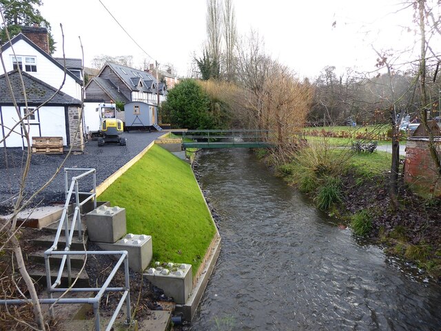
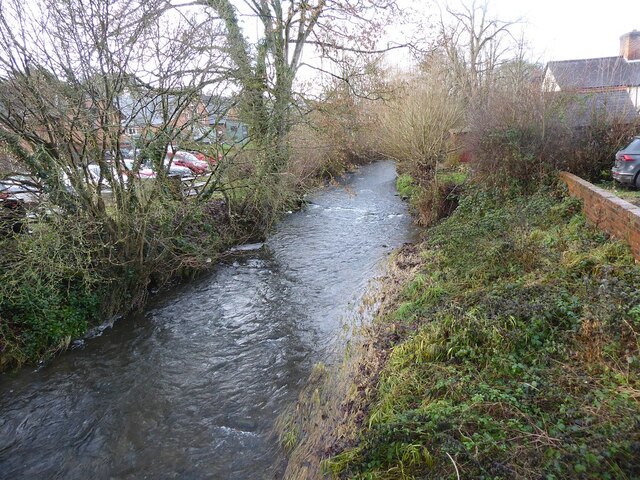
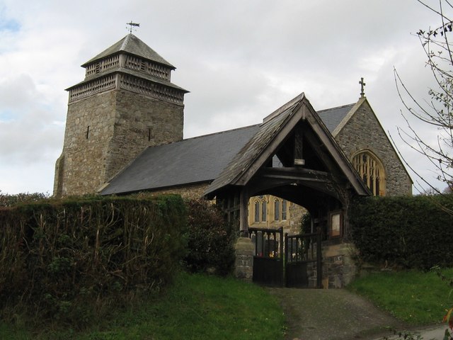
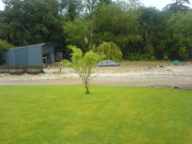
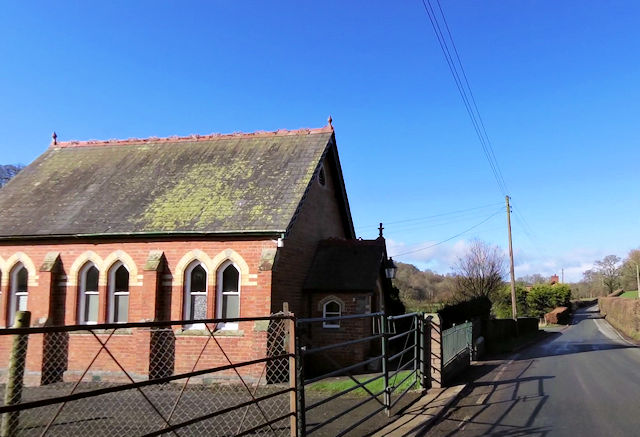
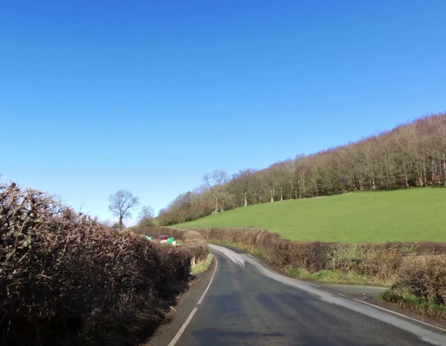
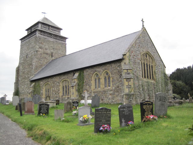
Cefn-dinas Coppice Images
Images are sourced within 2km of 52.557182/-3.2853667 or Grid Reference SO1296. Thanks to Geograph Open Source API. All images are credited.


Cefn-dinas Coppice is located at Grid Ref: SO1296 (Lat: 52.557182, Lng: -3.2853667)
Unitary Authority: Powys
Police Authority: Dyfed Powys
What 3 Words
///dips.exhaling.outlines. Near Newtown, Powys
Nearby Locations
Related Wikis
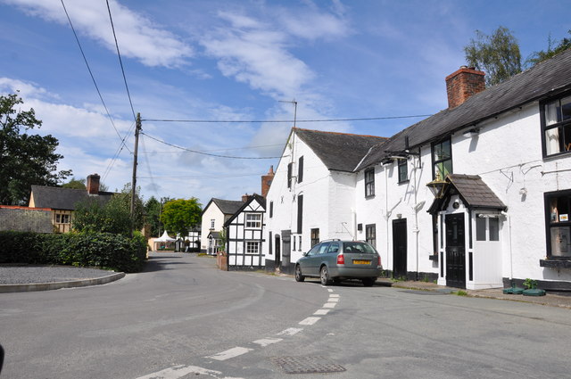
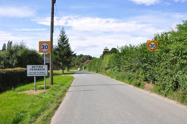
Bettws Cedewain
Bettws Cedewain (Welsh: Betws Cedewain), also known as Bettws Cedewen, is a small village and community in Montgomeryshire, Powys, Wales. It lies in a...
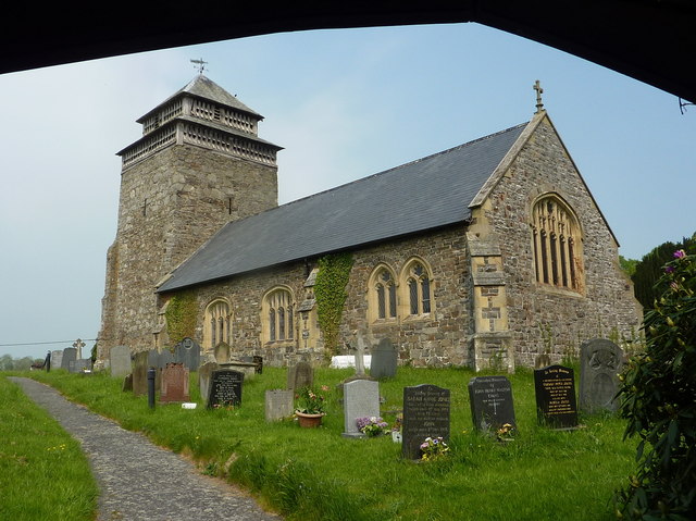
St Beuno's Church, Bettws Cedewain
St Beuno's Church, Bettws Cedewain lies within the historic county of Montgomeryshire in Powys. The church occupies a prominent position overlooking the...

Aberbechan Hall
Aberbechan Hall was a timber framed mansion in the township of Aberbechan within the parish of Llanllwchaearn in the historic county of Montgomeryshire...
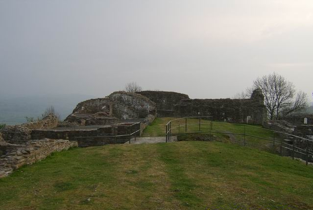
Dolforwyn Castle
Dolforwyn Castle (Welsh: Castell Dolforwyn) is a Welsh medieval castle above the village of Abermule, Powys. The fortification was established by Llywelyn...
Yew tree cottage
Situated under the ramparts of Dolforwyn Castle, near Abermule in the Welsh county of Powys in the United Kingdom, Yew tree cottage is a part 17th century...
Aberbechan
Aberbechan was formerly a township in the parish of Llanllwchaearn in the historic county of Montgomeryshire. The township of Aberbechan was transferred...
Abermule
Abermule (Welsh: Aber-miwl) is a village lying on the River Severn 6 km (4 miles) northeast of Newtown in Powys, mid Wales. The A483 Swansea to Chester...

Abermule train collision
The Abermule train collision was a head-on collision which occurred at Abermule, Montgomeryshire, Wales on Wednesday 26 January 1921, killing 17 people...
Nearby Amenities
Located within 500m of 52.557182,-3.2853667Have you been to Cefn-dinas Coppice?
Leave your review of Cefn-dinas Coppice below (or comments, questions and feedback).