Ffriddoedd
Wood, Forest in Flintshire
Wales
Ffriddoedd

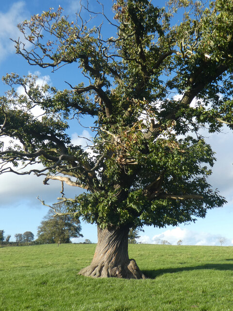
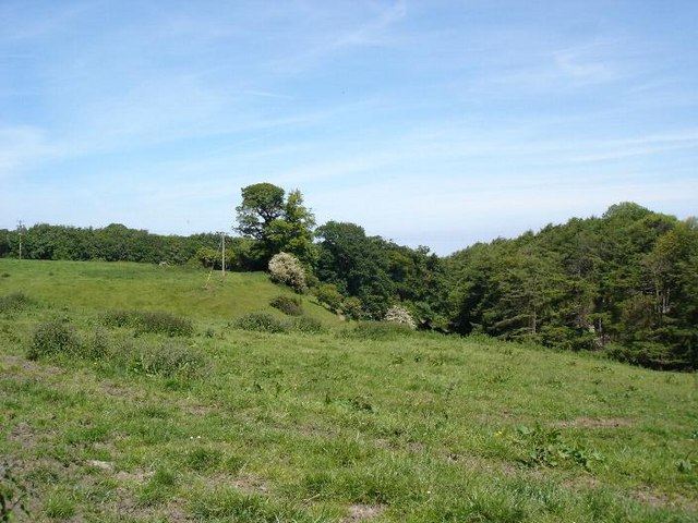
Ffriddoedd, located in Flintshire, Wales, is a picturesque wooded area known for its natural beauty and diverse flora and fauna. The name "Ffriddoedd" translates to "wood" or "forest" in English, which is fitting for the lush greenery that covers the landscape.
The area is popular among nature lovers and outdoor enthusiasts, offering opportunities for hiking, birdwatching, and photography. The woodlands are home to a variety of wildlife, including birds, mammals, and insects, making it a haven for biodiversity.
Ffriddoedd is also known for its peaceful and serene atmosphere, making it a perfect place to escape the hustle and bustle of everyday life. Visitors can explore the winding trails that meander through the forest, taking in the sights and sounds of nature along the way.
Overall, Ffriddoedd is a hidden gem in Flintshire, offering a tranquil retreat for those looking to connect with the natural world and enjoy the beauty of the Welsh countryside.
If you have any feedback on the listing, please let us know in the comments section below.
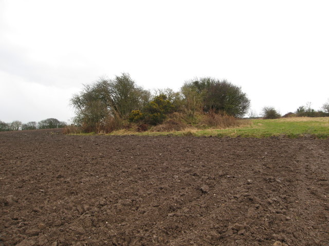
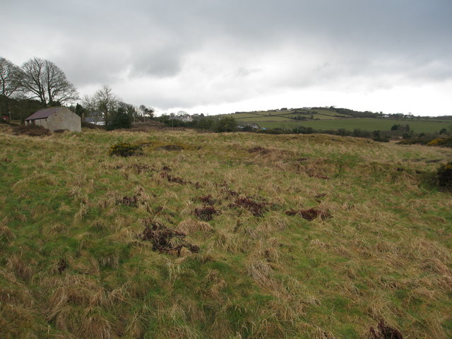
Ffriddoedd Images
Images are sourced within 2km of 53.301752/-3.3067515 or Grid Reference SJ1379. Thanks to Geograph Open Source API. All images are credited.


Ffriddoedd is located at Grid Ref: SJ1379 (Lat: 53.301752, Lng: -3.3067515)
Unitary Authority: Flintshire
Police Authority: North Wales
What 3 Words
///stretcher.baffle.elbowed. Near Whitford, Flintshire
Nearby Locations
Related Wikis
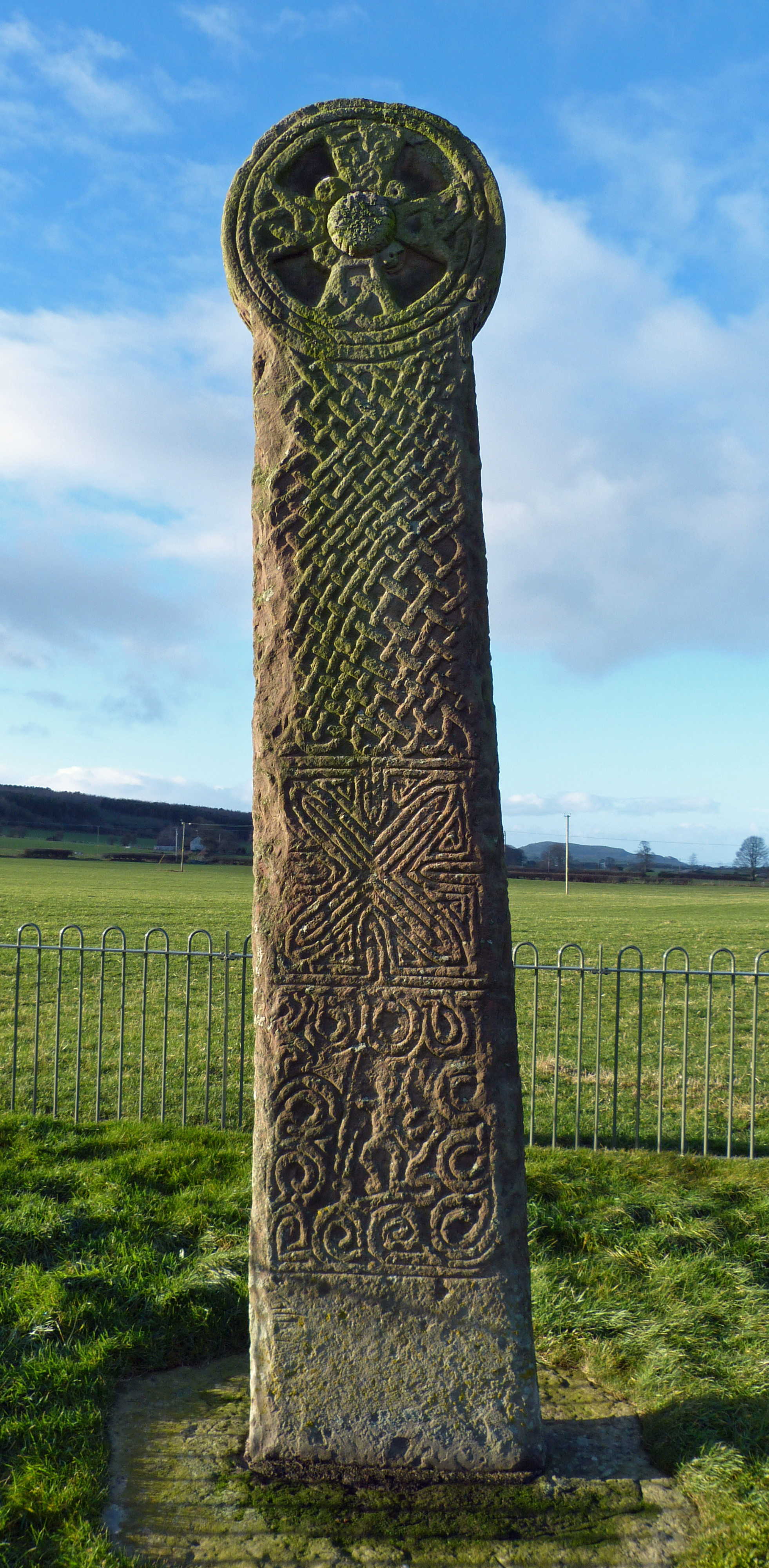
Maen Achwyfan Cross
Maen Achwyfan Cross (Welsh: Maen Achwyfan, Croes Maen Achwyfan), located near the village of Whitford, Flintshire, Wales, is a high cross dating from the...
Trelogan
Trelogan is a village in Flintshire, north east Wales. It is located between Mostyn and Trelawnyd and is almost contiguous with Berthengam. Trelogan had...

Whitford, Flintshire
Whitford (Welsh: Chwitffordd) is a village, community and an electoral ward near Holywell in Flintshire, northeast Wales. The population of both the community...

Church of St Beuno and St Mary
The Church of St Beuno and St Mary is a Grade I listed church in Whitford, overlooking the estuary of the river Dee. The church has a well preserved late...
Nearby Amenities
Located within 500m of 53.301752,-3.3067515Have you been to Ffriddoedd?
Leave your review of Ffriddoedd below (or comments, questions and feedback).