Plâs-uchaf
Heritage Site in Flintshire
Wales
Plâs-uchaf
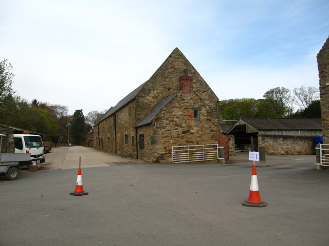
Plâs-uchaf, located in Flintshire, Wales, is a significant heritage site that holds great historical and cultural importance. This beautiful mansion house dates back to the 17th century and is a testament to the architectural grandeur of the era. Set amidst picturesque landscapes, Plâs-uchaf offers visitors a glimpse into the rich history of the region.
The mansion house itself is a fine example of Jacobean architecture, characterized by its symmetrical design, mullioned windows, and ornamental gables. The interiors of Plâs-uchaf are equally impressive, with intricate woodwork, elegant plaster ceilings, and splendid fireplaces that showcase the wealth and status of its former occupants.
Plâs-uchaf's historical significance extends beyond its architectural beauty. It has been associated with several prominent families throughout the centuries, including the Mostyn and Eyton families. The mansion has witnessed various historical events and societal changes, and its walls echo the stories of past inhabitants.
Today, Plâs-uchaf stands as a testament to the region's heritage and offers visitors a chance to explore its rich past. The site is open to the public, allowing them to wander through the grand rooms, admire the period furniture, and immerse themselves in the historical ambience. Guided tours are available, providing in-depth information about the mansion's history and the notable figures associated with it.
Plâs-uchaf is not only a heritage site but also a venue for cultural events, exhibitions, and educational programs. Its stunning gardens and grounds provide a serene setting for visitors to relax and appreciate the beauty of the surrounding countryside.
In summary, Plâs-uchaf in Flintshire is a remarkable heritage site that showcases the architectural and historical splendor of the region. With its grand mansion, beautiful gardens, and rich history, it offers a captivating experience for all who visit.
If you have any feedback on the listing, please let us know in the comments section below.
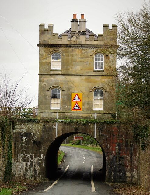
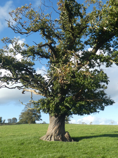
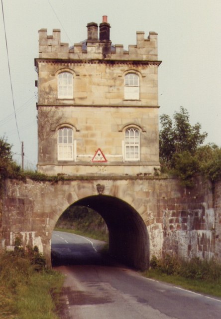
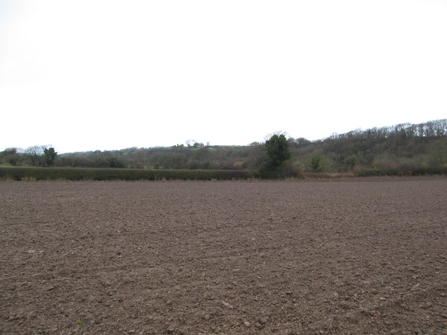
Plâs-uchaf Images
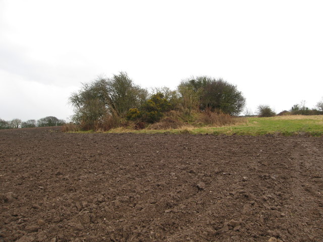
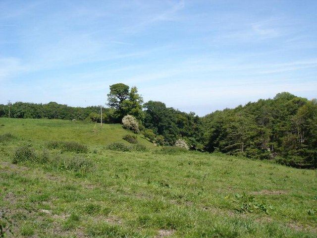
Images are sourced within 2km of 53.305/-3.298 or Grid Reference SJ1379. Thanks to Geograph Open Source API. All images are credited.


Plâs-uchaf is located at Grid Ref: SJ1379 (Lat: 53.305, Lng: -3.298)
Unitary Authority: Flintshire
Police Authority: North Wales
What 3 Words
///offices.thinker.mavericks. Near Mostyn, Flintshire
Nearby Locations
Related Wikis
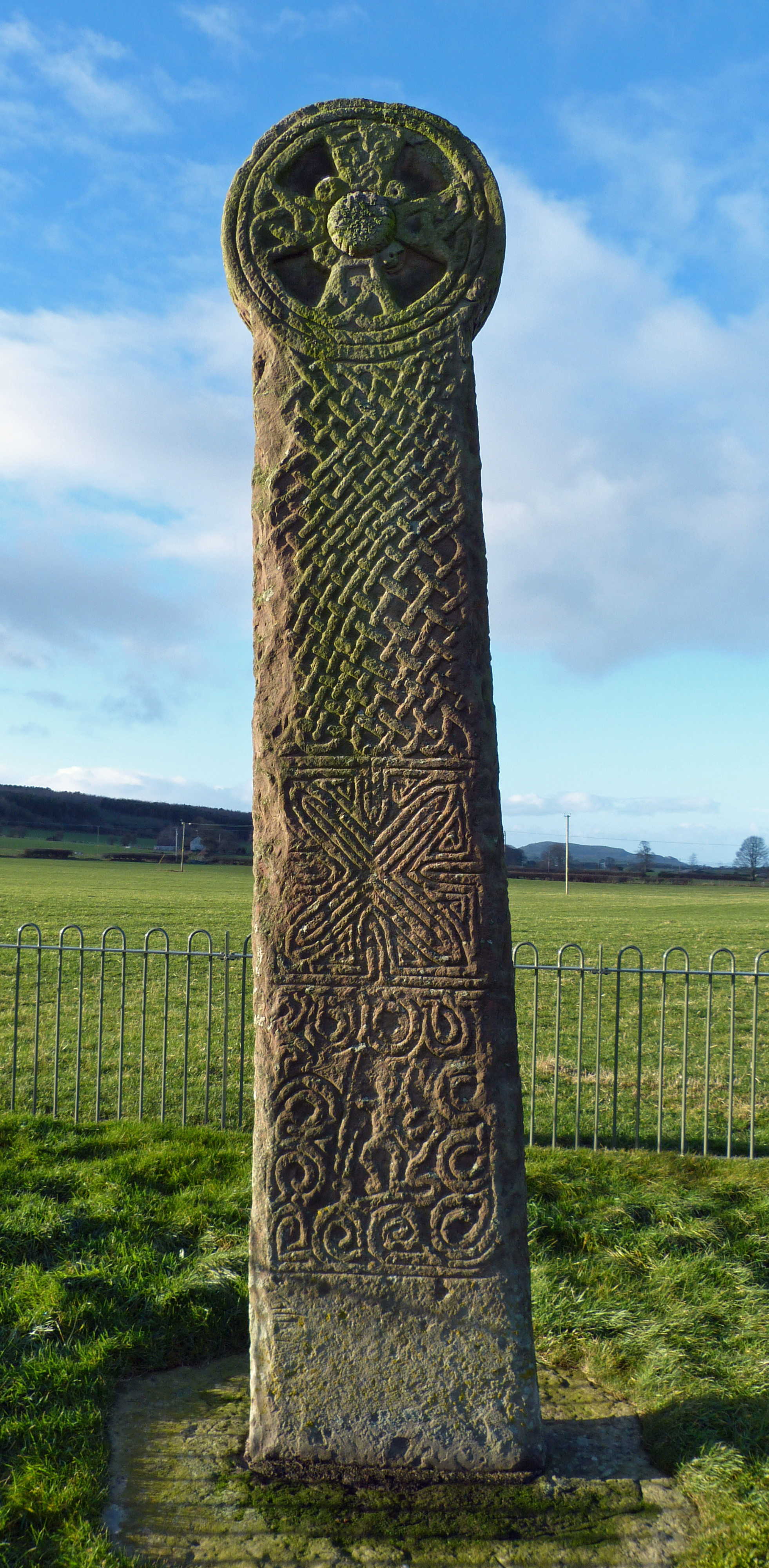
Maen Achwyfan Cross
Maen Achwyfan Cross (Welsh: Maen Achwyfan, Croes Maen Achwyfan), located near the village of Whitford, Flintshire, Wales, is a high cross dating from the...

Whitford, Flintshire
Whitford (Welsh: Chwitffordd) is a village, community and an electoral ward near Holywell in Flintshire, northeast Wales. The population of both the community...

Church of St Beuno and St Mary
The Church of St Beuno and St Mary is a Grade I listed church in Whitford, overlooking the estuary of the river Dee. The church has a well preserved late...
Trelogan
Trelogan is a village in Flintshire, north east Wales. It is located between Mostyn and Trelawnyd and is almost contiguous with Berthengam. Trelogan had...
Nearby Amenities
Located within 500m of 53.305,-3.298Have you been to Plâs-uchaf?
Leave your review of Plâs-uchaf below (or comments, questions and feedback).