Argoed

Community in Monmouthshire

Wales

Argoed

Barn & mechanical shovel, Pen-y-fan-ganol Farm Hillside barn above the Ebbw Valley, for earlier view - <a href="https://www.geograph.org.uk/photo/5212866">SO1902 : Curved barn, Pen-y-fan-ganol Farm</a>.
Barn & mechanical shovel, Pen-y-fan-ganol Farm Credit: M J Roscoe

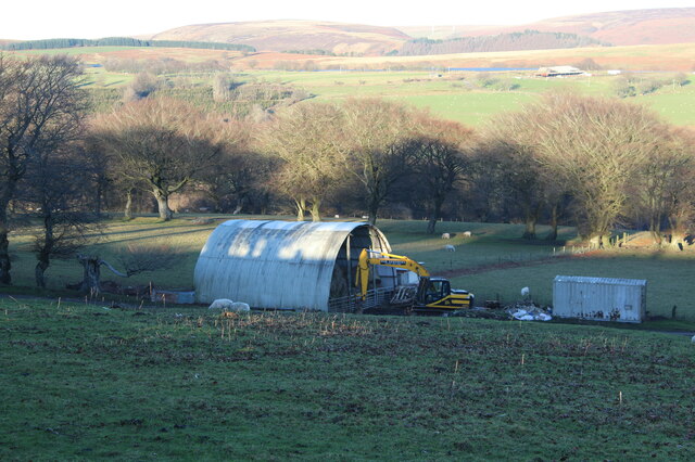
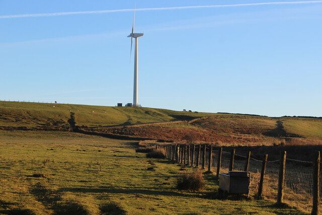
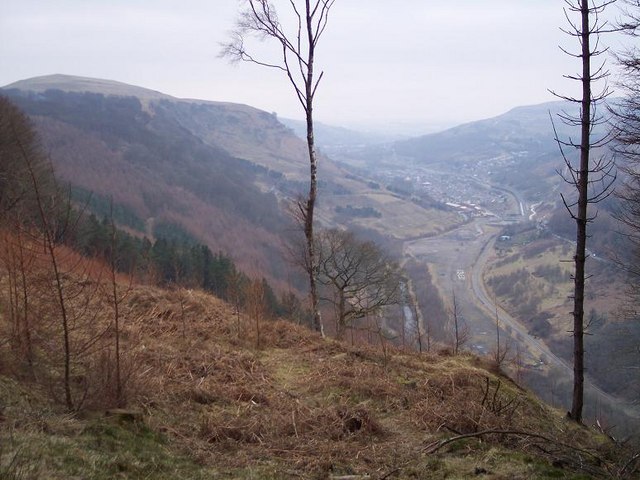
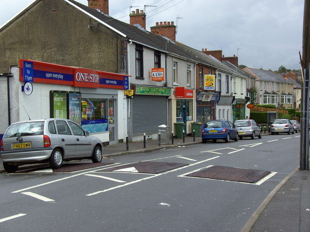
Argoed is a small rural community located in Monmouthshire, Wales. It is situated near the border with England, surrounded by picturesque countryside and rolling hills. The community is made up of a cluster of houses, farms, and a few small businesses.

Argoed is known for its peaceful and tranquil environment, making it a popular choice for those seeking a quiet and remote place to live. The community is surrounded by natural beauty, with plenty of opportunities for outdoor activities such as hiking, cycling, and birdwatching.

Despite its small size, Argoed has a close-knit community spirit, with residents often coming together for events and social gatherings. The local primary school plays a central role in the community, providing education for the children of the area.

Overall, Argoed is a charming and idyllic community that offers a peaceful and rural lifestyle for its residents. With its stunning scenery and strong sense of community, it is a truly special place to call home.

If you have any feedback on the listing, please let us know in the comments section below.
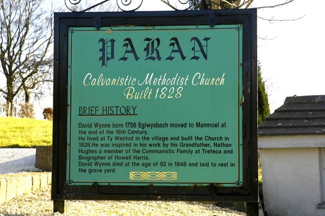
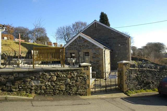
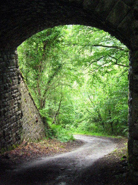
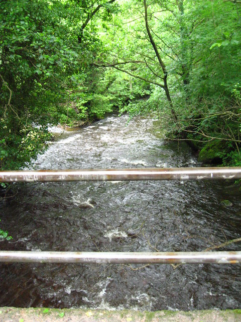
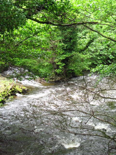
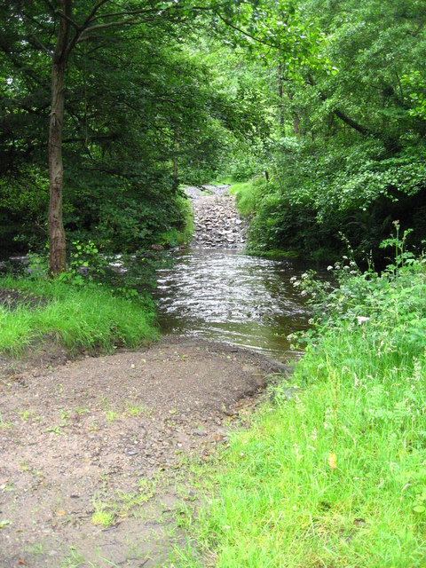
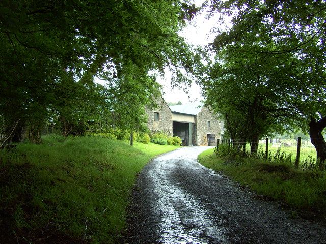
Argoed Images

Images are sourced within 2km of 51.714475/-3.196508 or Grid Reference SO1702. Thanks to Geograph Open Source API. All images are credited.

Barn & mechanical shovel, Pen-y-fan-ganol Farm Hillside barn above the Ebbw Valley, for earlier view - <a href="https://www.geograph.org.uk/photo/5212866">SO1902 : Curved barn, Pen-y-fan-ganol Farm</a>.
Barn & mechanical shovel, Pen-y-fan-ganol Farm
Hillside barn above the Ebbw Valley, for earlier view - SO1902 : Curved barn, Pen-y-fan-ganol Farm.
Twyn-y-Bleiddaid, Mynydd Pen-y-fan View towards wind turbine from bend in byway.
Twyn-y-Bleiddaid, Mynydd Pen-y-fan
View towards wind turbine from bend in byway.
Three trees in the snow Trees next to a byway from Pentrepiod on the northern slope of Mynydd Pen-y-Fan after heavy snow.
Three trees in the snow
Trees next to a byway from Pentrepiod on the northern slope of Mynydd Pen-y-Fan after heavy snow.
Ordnance Survey Cut Mark This OS cut mark can be found on the school SE side of the road. It marks a point 294.336m above mean sea level.
Ordnance Survey Cut Mark
This OS cut mark can be found on the school SE side of the road. It marks a point 294.336m above mean sea level.
Ordnance Survey Cut Mark This OS cut mark can be found on the house SW side of the road. It marks a point 295.647m above mean sea level.
Ordnance Survey Cut Mark
This OS cut mark can be found on the house SW side of the road. It marks a point 295.647m above mean sea level.
Ordnance Survey Rivet This OS rivet can be found on the rock NE side of the track. It marks a point 385.407m above mean sea level.
Ordnance Survey Rivet
This OS rivet can be found on the rock NE side of the track. It marks a point 385.407m above mean sea level.
Boundary Stone There is an Ordnance Survey rivet on the top of the stone. It marks a point 373.435m above mean sea level.
Boundary Stone
There is an Ordnance Survey rivet on the top of the stone. It marks a point 373.435m above mean sea level.
Ordnance Survey Cut Mark This OS cut mark can be found on the wall SW side of the road. It marks a point 385.051m above mean sea level.
Ordnance Survey Cut Mark
This OS cut mark can be found on the wall SW side of the road. It marks a point 385.051m above mean sea level.
Ordnance Survey Rivet This OS rivet can be found on the wall west side of the road. It marks a point 405.320m above mean sea level.
Ordnance Survey Rivet
This OS rivet can be found on the wall west side of the road. It marks a point 405.320m above mean sea level.
Ebbw Vale, Blaenau Gwent View north to site of Marine Colliery from Craig Fawr
Ebbw Vale, Blaenau Gwent
View north to site of Marine Colliery from Craig Fawr
Historical sign for Paran Church Manmoel This shows the sign at Paran Church Manmoel which outlines the founding history of the site.
Historical sign for Paran Church Manmoel
This shows the sign at Paran Church Manmoel which outlines the founding history of the site.
Side view of Paran Methodist Church Manmoel This shows a side view of Paran Church. The churchyard is reached by passing through the gates and continuing round to the right. The graveyard is very well tended and includes a bank at a higher level.
Side view of Paran Methodist Church Manmoel
This shows a side view of Paran Church. The churchyard is reached by passing through the gates and continuing round to the right. The graveyard is very well tended and includes a bank at a higher level.
View under bridge carrying Sirhowy Valley Walk A very narrow road leads down, then round a corner to reveal this view through the arch of the old bridge which used to carry a railway, but now has the Sirhowy Valley Walk crossing over it. The view is towards the Sirhowy Valley itself, though it is hard to make it out through all the trees.
View under bridge carrying Sirhowy Valley Walk
A very narrow road leads down, then round a corner to reveal this view through the arch of the old bridge which used to carry a railway, but now has the Sirhowy Valley Walk crossing over it. The view is towards the Sirhowy Valley itself, though it is hard to make it out through all the trees.
Sirhowy  River seen from bridge. Due to recent heavy rain the river is flowing vigorously in this picture. A small tributary can be seen coming in near the top left of the picture. The road over the bridge comes from the A4048, but is no longer passable for cars for much further than this bridge.
Sirhowy River seen from bridge.
Due to recent heavy rain the river is flowing vigorously in this picture. A small tributary can be seen coming in near the top left of the picture. The road over the bridge comes from the A4048, but is no longer passable for cars for much further than this bridge.
Tributary entering the Sirhowy River The recent heavy rainfall has caused a spate in the tributary and the main river. This picture was taken from the bridge.
Tributary entering the Sirhowy River
The recent heavy rainfall has caused a spate in the tributary and the main river. This picture was taken from the bridge.
Ford/Watersplash across Sirhowy This ford is just upstream of the road bridge. The bridge is very narrow so that farm vehicles and other large vehicles cannot use it.
Ford/Watersplash across Sirhowy
This ford is just upstream of the road bridge. The bridge is very narrow so that farm vehicles and other large vehicles cannot use it.
Pen-yr-heol-las An old barn at Pen-yr-heol-las Farm.
Pen-yr-heol-las
An old barn at Pen-yr-heol-las Farm.
Markham A row of shops and the Post Office in Abernant road.
Markham
A row of shops and the Post Office in Abernant road.
Show me another place!

Argoed is located at Grid Ref: SO1702 (Lat: 51.714475, Lng: -3.196508)

Unitary Authority: Caerphilly

Police Authority: Gwent

What 3 Words

///goodbyes.narrating.bottom. Near Cwm, Blaenau Gwent

Related Wikis

Holly Bush railway station

Holly Bush railway station served the village of Hollybush, in the historical county of Monmouthshire, Wales, from 1871 to 1960 on the Sirhowy Railway...

Markham, Caerphilly

Markham is a small village in the South Wales Valleys in Caerphilly County Borough, to the northeast of Bargoed. The B4511 road links to Markham from Aberbargoed...

Cwmsyfiog Halt railway station

Cwmsyfiog Halt railway station served the suburb of Cwmsyfiog, Monmouthshire, Wales, from 1937 to 1962 on the Brecon and Merthyr Tydfil Junction Railway...

Llan-dafel

Llan-dafel (also referred to as Llandafal) is a village in the community of Cwm, in the Ebbw Valley in Blaenau Gwent. It is located 4 miles (6.4 km) south...

Have you been to Argoed?

Leave your review of Argoed below (or comments, questions and feedback).