Hafodrisclawdd Wood

Wood, Forest in Monmouthshire

Wales

Hafodrisclawdd Wood

Smugglers Equestrian Centre
Smugglers Equestrian Centre Credit: Alan Hughes

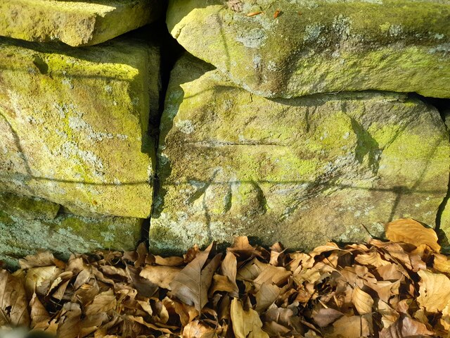
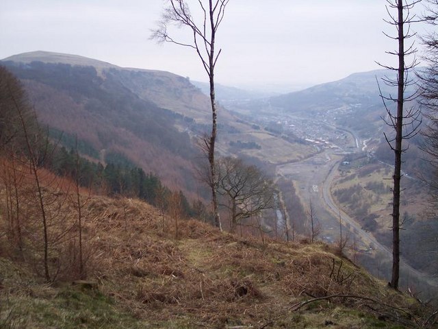
Hafodrisclawdd Wood is a picturesque woodland located in Monmouthshire, Wales. Covering an area of approximately 68 hectares, this ancient forest is home to a diverse range of flora and fauna. The wood is primarily made up of oak, beech, and ash trees, creating a lush green canopy that provides habitat for a variety of bird species, including woodpeckers, owls, and warblers.

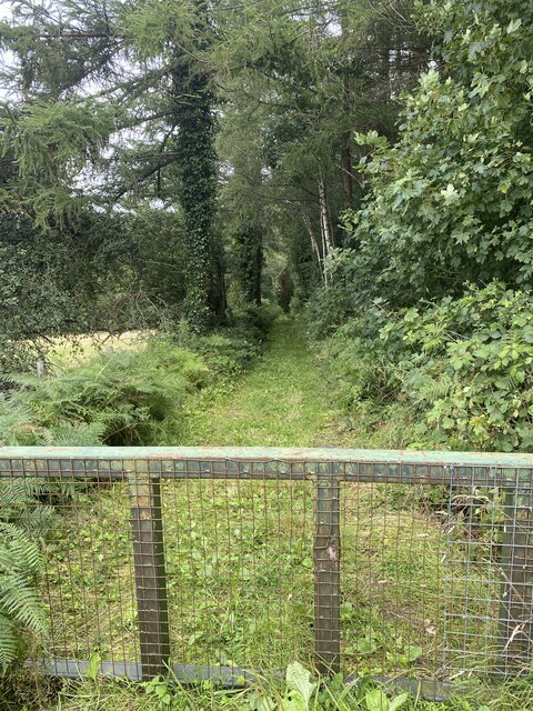
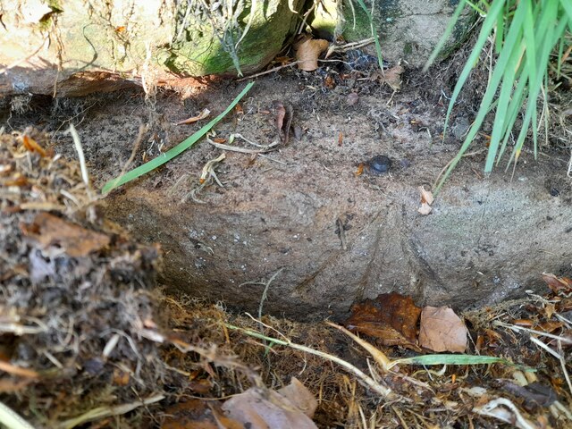
Visitors to Hafodrisclawdd Wood can enjoy a network of well-maintained walking trails that wind through the forest, offering opportunities to observe wildlife and enjoy the tranquility of nature. The wood is also home to a number of historic features, including old mine workings and quarries, which provide a glimpse into the area's industrial past.

Hafodrisclawdd Wood is a popular destination for nature lovers, walkers, and birdwatchers, offering a peaceful escape from the hustle and bustle of everyday life. Whether exploring the woodland on foot or simply relaxing amidst the natural beauty, visitors to Hafodrisclawdd Wood are sure to be enchanted by its serene atmosphere and abundant wildlife.

If you have any feedback on the listing, please let us know in the comments section below.

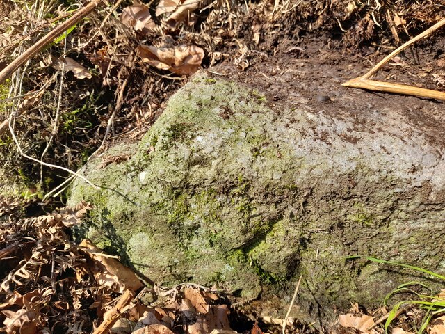
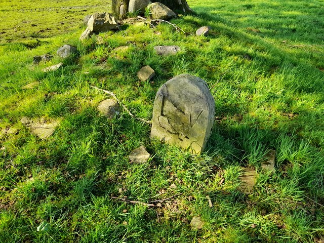
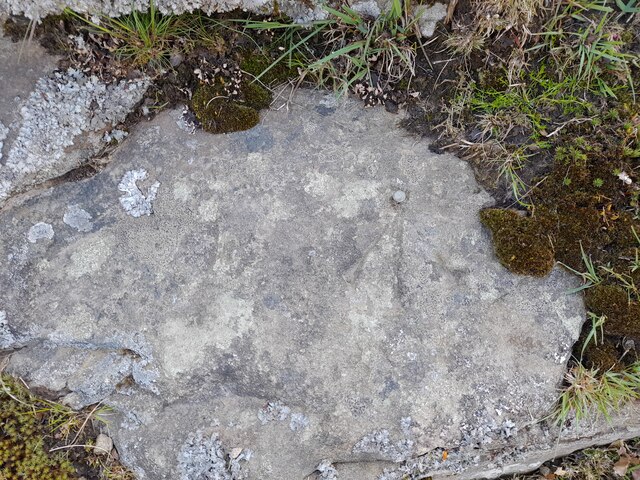
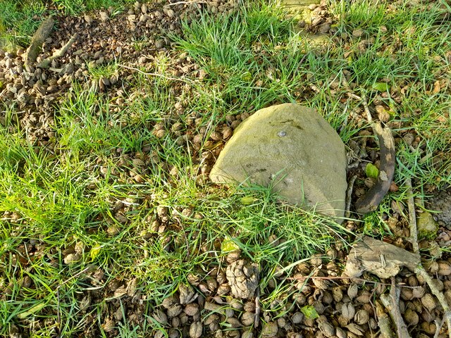
Hafodrisclawdd Wood Images

Images are sourced within 2km of 51.713975/-3.1897523 or Grid Reference SO1702. Thanks to Geograph Open Source API. All images are credited.

Smugglers Equestrian Centre
Line of old railway track Above the Sirhowy valley.
Line of old railway track
Above the Sirhowy valley.
Barn & mechanical shovel, Pen-y-fan-ganol Farm Hillside barn above the Ebbw Valley, for earlier view - <a href="https://www.geograph.org.uk/photo/5212866">SO1902 : Curved barn, Pen-y-fan-ganol Farm</a>.
Barn & mechanical shovel, Pen-y-fan-ganol Farm
Hillside barn above the Ebbw Valley, for earlier view - SO1902 : Curved barn, Pen-y-fan-ganol Farm.
Twyn-y-Bleiddaid, Mynydd Pen-y-fan View towards wind turbine from bend in byway.
Twyn-y-Bleiddaid, Mynydd Pen-y-fan
View towards wind turbine from bend in byway.
Three trees in the snow Trees next to a byway from Pentrepiod on the northern slope of Mynydd Pen-y-Fan after heavy snow.
Three trees in the snow
Trees next to a byway from Pentrepiod on the northern slope of Mynydd Pen-y-Fan after heavy snow.
Ordnance Survey Cut Mark This OS cut mark can be found on the school SE side of the road. It marks a point 294.336m above mean sea level.
Ordnance Survey Cut Mark
This OS cut mark can be found on the school SE side of the road. It marks a point 294.336m above mean sea level.
Ordnance Survey Cut Mark This OS cut mark can be found on the house SW side of the road. It marks a point 295.647m above mean sea level.
Ordnance Survey Cut Mark
This OS cut mark can be found on the house SW side of the road. It marks a point 295.647m above mean sea level.
Ordnance Survey Rivet This OS rivet can be found on the stone south side of the track. It marks a point 350.048m above mean sea level.
Ordnance Survey Rivet
This OS rivet can be found on the stone south side of the track. It marks a point 350.048m above mean sea level.
Ordnance Survey Rivet This OS rivet can be found on the rock east side of the track. It marks a point 363.873m above mean sea level.
Ordnance Survey Rivet
This OS rivet can be found on the rock east side of the track. It marks a point 363.873m above mean sea level.
Ordnance Survey Rivet This OS rivet can be found on the stone west side of the track. It marks a point 376.705m above mean sea level.
Ordnance Survey Rivet
This OS rivet can be found on the stone west side of the track. It marks a point 376.705m above mean sea level.
Boundary Stone
Boundary Stone
Ordnance Survey Rivet This OS rivet can be found on the rock NE side of the track. It marks a point 385.407m above mean sea level.
Ordnance Survey Rivet
This OS rivet can be found on the rock NE side of the track. It marks a point 385.407m above mean sea level.
Boundary Stone There is an Ordnance Survey rivet on the top of the stone. It marks a point 373.435m above mean sea level.
Boundary Stone
There is an Ordnance Survey rivet on the top of the stone. It marks a point 373.435m above mean sea level.
Ordnance Survey Cut Mark This OS cut mark can be found on the wall SW side of the road. It marks a point 385.051m above mean sea level.
Ordnance Survey Cut Mark
This OS cut mark can be found on the wall SW side of the road. It marks a point 385.051m above mean sea level.
Ordnance Survey Rivet This OS rivet can be found on the wall west side of the road. It marks a point 405.320m above mean sea level.
Ordnance Survey Rivet
This OS rivet can be found on the wall west side of the road. It marks a point 405.320m above mean sea level.
Ebbw Vale, Blaenau Gwent View north to site of Marine Colliery from Craig Fawr
Ebbw Vale, Blaenau Gwent
View north to site of Marine Colliery from Craig Fawr
Historical sign for Paran Church Manmoel This shows the sign at Paran Church Manmoel which outlines the founding history of the site.
Historical sign for Paran Church Manmoel
This shows the sign at Paran Church Manmoel which outlines the founding history of the site.
Side view of Paran Methodist Church Manmoel This shows a side view of Paran Church. The churchyard is reached by passing through the gates and continuing round to the right. The graveyard is very well tended and includes a bank at a higher level.
Side view of Paran Methodist Church Manmoel
This shows a side view of Paran Church. The churchyard is reached by passing through the gates and continuing round to the right. The graveyard is very well tended and includes a bank at a higher level.
Show me another place!

Hafodrisclawdd Wood is located at Grid Ref: SO1702 (Lat: 51.713975, Lng: -3.1897523)

Unitary Authority: Caerphilly

Police Authority: Gwent

What 3 Words

///richly.pampering.steepest. Near Cwm, Blaenau Gwent

Related Wikis

Markham, Caerphilly

Markham is a small village in the South Wales Valleys in Caerphilly County Borough, to the northeast of Bargoed. The B4511 road links to Markham from Aberbargoed...

Holly Bush railway station

Holly Bush railway station served the village of Hollybush, in the historical county of Monmouthshire, Wales, from 1871 to 1960 on the Sirhowy Railway...

Llan-dafel

Llan-dafel (also referred to as Llandafal) is a village in the community of Cwm, in the Ebbw Valley in Blaenau Gwent. It is located 4 miles (6.4 km) south...

Argoed railway station

Argoed railway station served the village of Argoed in the County Borough of Caerphilly, Wales. it succeeded the first Argoed station built by the Sirhowy...

Have you been to Hafodrisclawdd Wood?

Leave your review of Hafodrisclawdd Wood below (or comments, questions and feedback).