Argoed
Community in Flintshire
Wales
Argoed
Argoed is a small community situated in the county of Flintshire, Wales. It is located approximately 10 miles southwest of the town of Mold and 7 miles northeast of Wrexham. The community is nestled within the picturesque countryside, offering a peaceful and scenic environment.
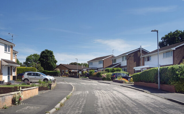
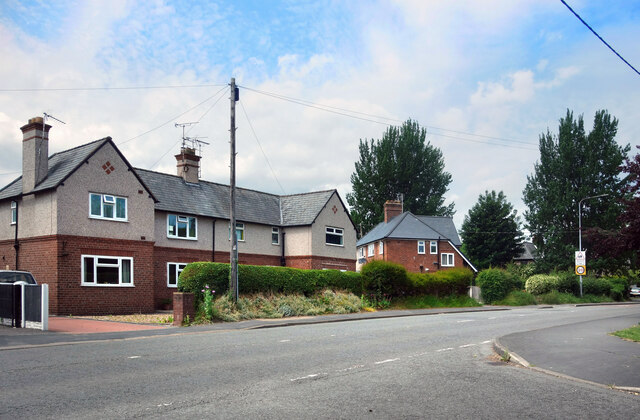
Argoed is primarily a rural area, characterized by its rolling hills, lush green fields, and charming farmlands. It is surrounded by several small villages and hamlets, creating a close-knit community atmosphere. The landscape also features a mix of woodland areas, providing opportunities for leisurely walks and outdoor activities.
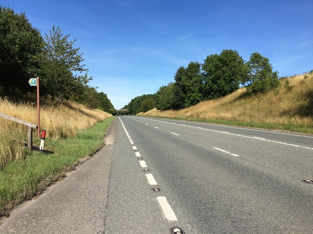
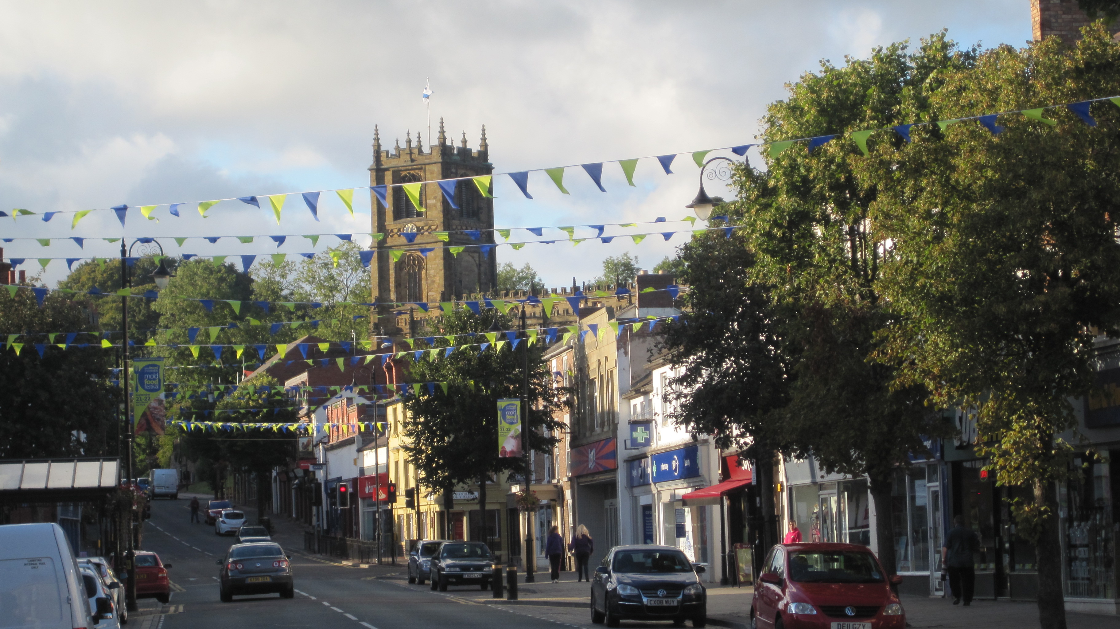
Despite its quiet and rural setting, Argoed benefits from its convenient location. The nearby towns of Mold and Wrexham offer a range of amenities, including shops, supermarkets, schools, healthcare facilities, and leisure centers. The community is well-connected by road, with easy access to the A541, enabling residents to travel to neighboring towns and cities with ease.
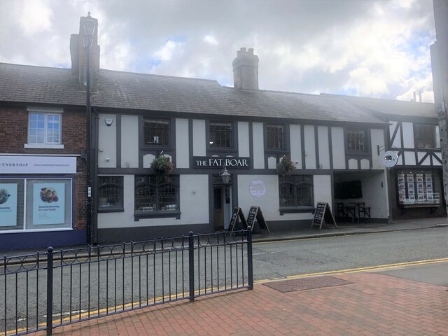
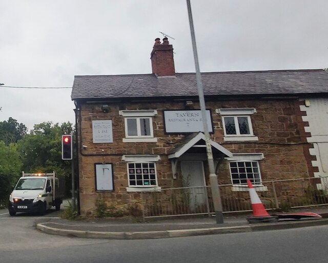
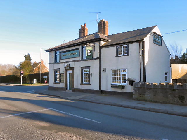
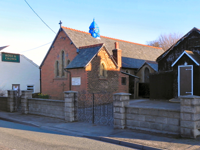
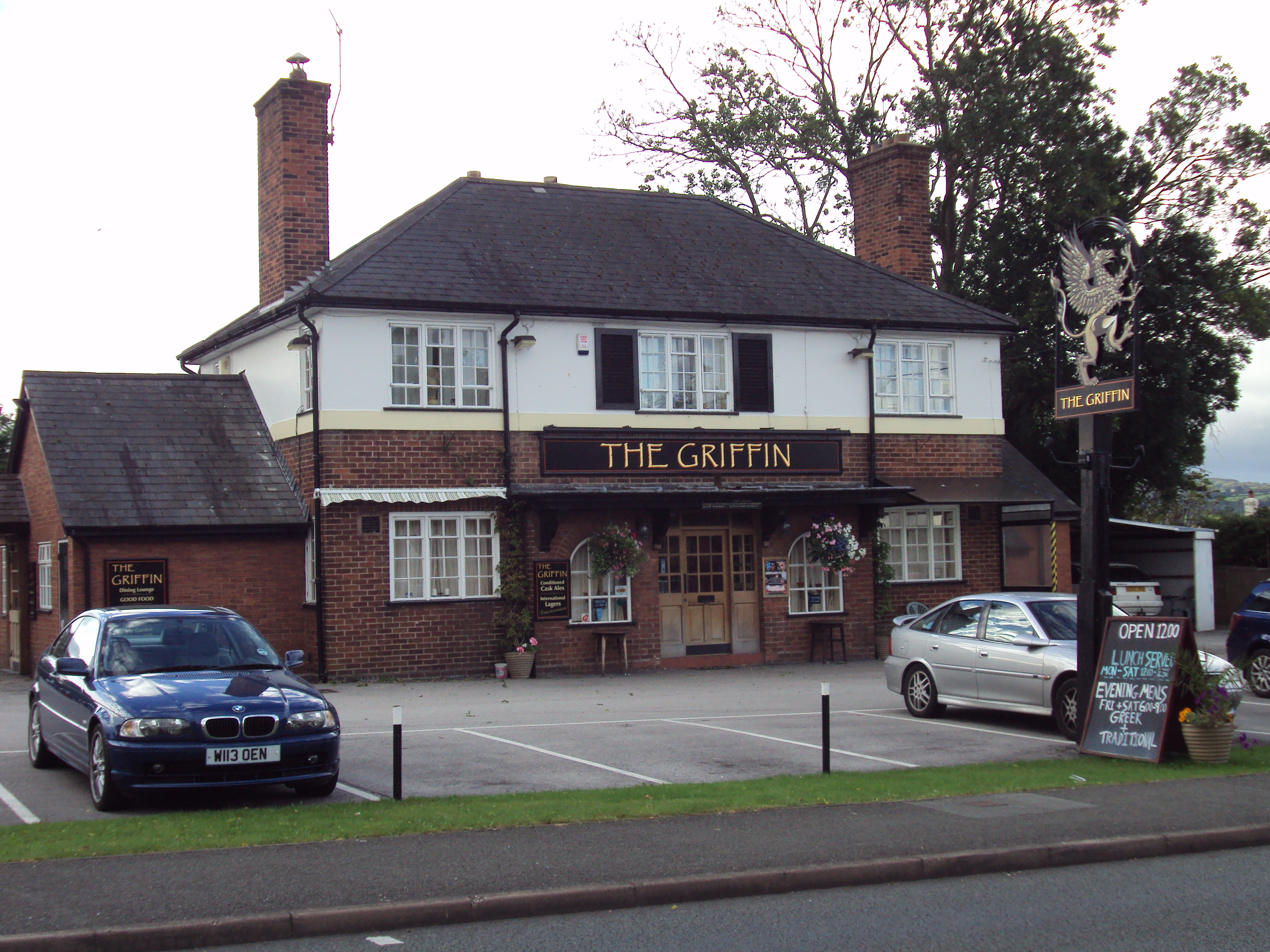
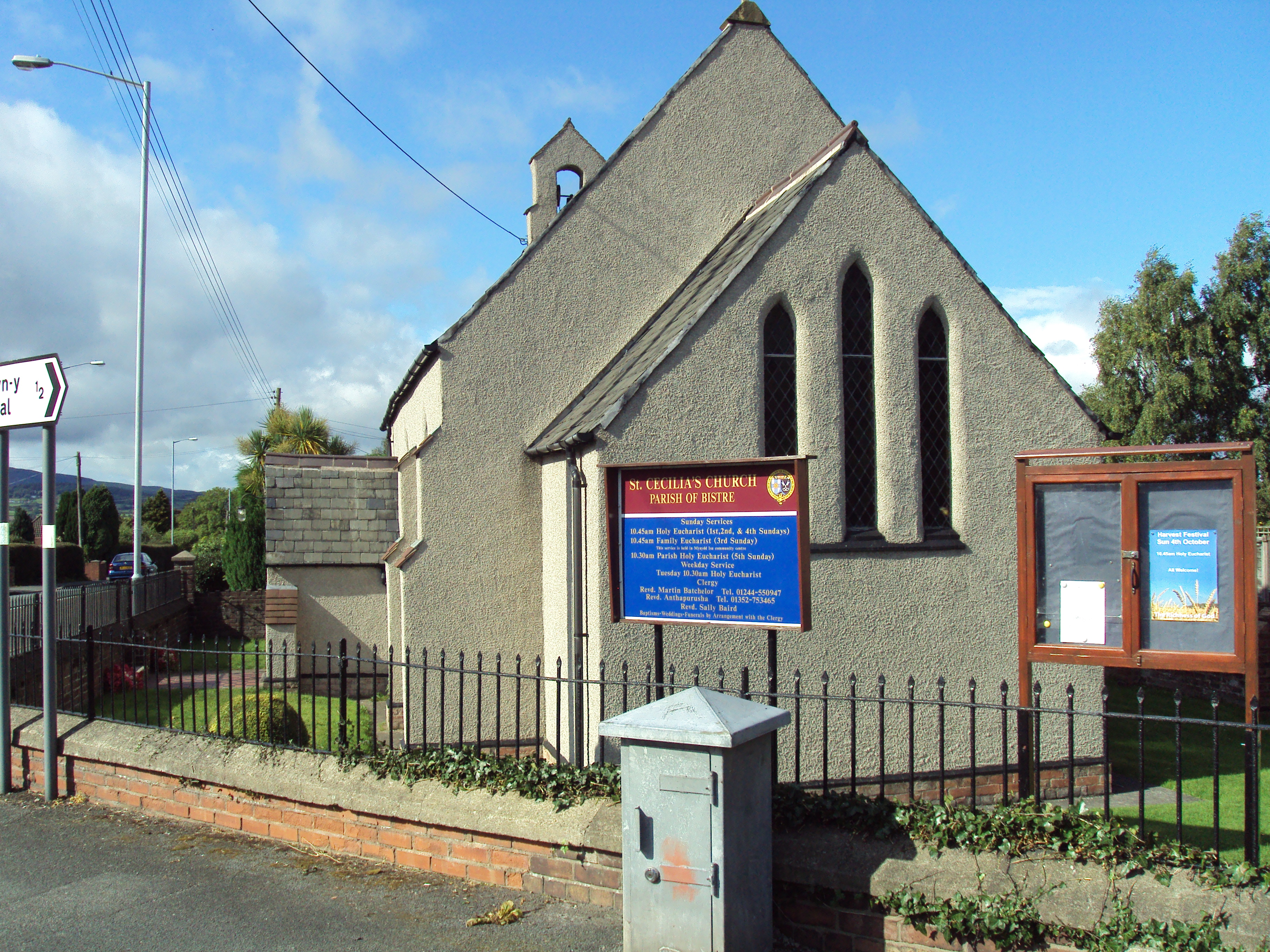
Argoed is home to a close community of residents who take pride in their surroundings and actively participate in community events. The area has a rich history, with several historic buildings and landmarks, such as St. Mary's Church, showcasing its heritage.
Overall, Argoed offers a tranquil and idyllic lifestyle for its residents, with its beautiful countryside setting and strong community spirit.
If you have any feedback on the listing, please let us know in the comments section below.
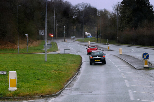
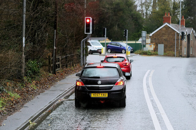
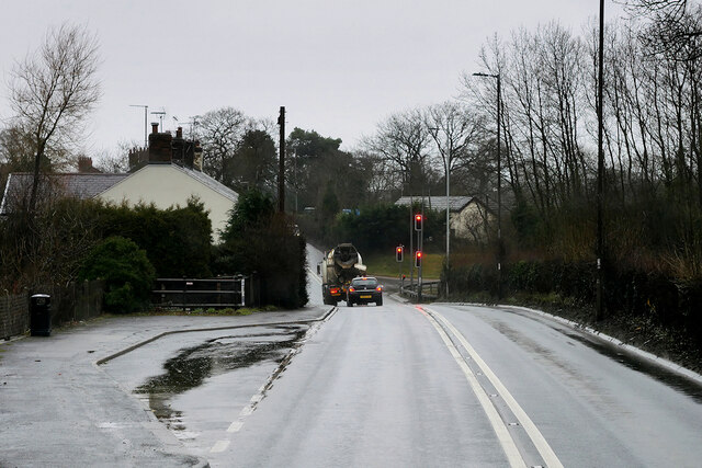
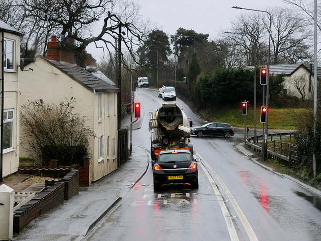
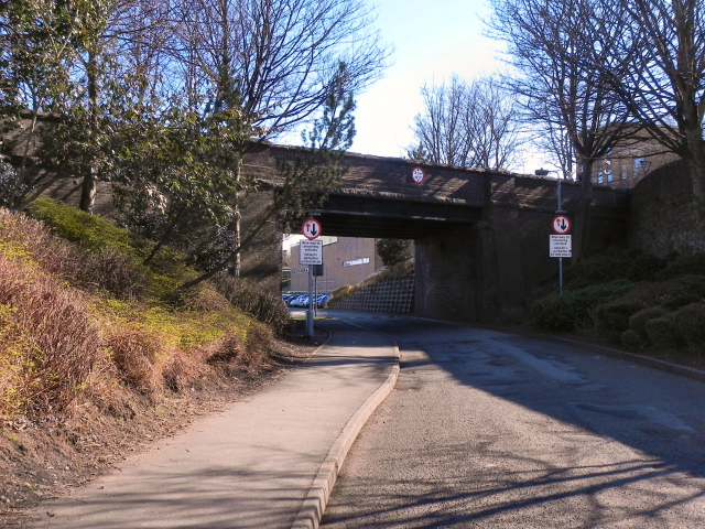
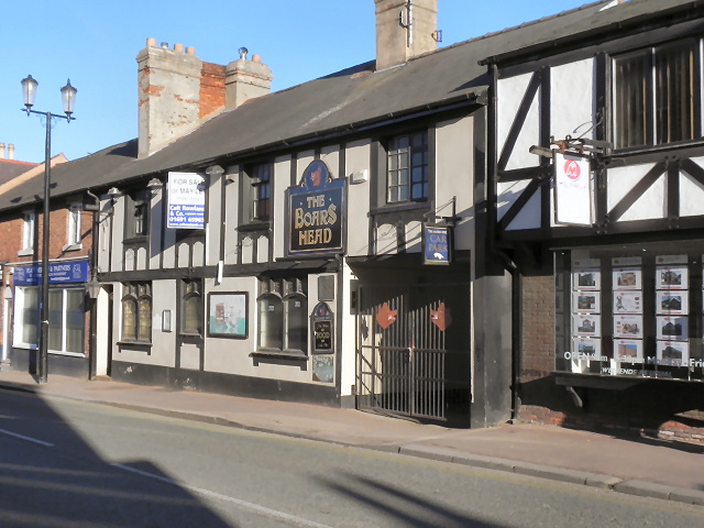
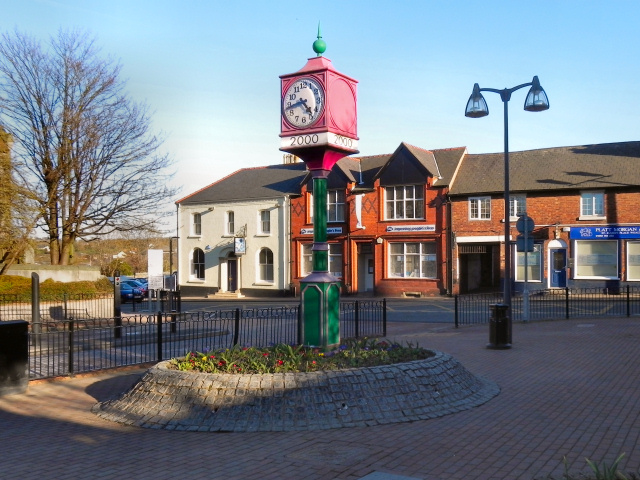
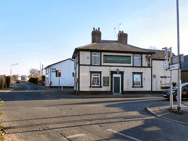
Argoed Images
Images are sourced within 2km of 53.167503/-3.110786 or Grid Reference SJ2563. Thanks to Geograph Open Source API. All images are credited.
Argoed is located at Grid Ref: SJ2563 (Lat: 53.167503, Lng: -3.110786)
Unitary Authority: Flintshire
Police Authority: North Wales
What 3 Words
///expiring.gives.crib. Near Buckley, Flintshire
Nearby Locations
Related Wikis
Mynydd Isa
Mynydd Isa ([ˌmənɨ̞ð ˈɪsa]; Welsh: Mynyddisa) is a village in Flintshire, in north-east Wales. It lies between the county town of Mold, and Buckley (which...

New Brighton, Flintshire
New Brighton (sometimes Welsh: Pentre Cythraul, lit. 'devil's village') is a small village in Flintshire, in north-east Wales. It lies between the towns...

A541 road
The A541 is an A road in North Wales. The road starts on the A525 in Trefnant, between St Asaph and Denbigh, and ends in Wrexham. On the way, it passes...

Mold gold cape
The Mold gold cape (Welsh: Clogyn Aur yr Wyddgrug) is a ceremonial cape of solid sheet-gold from Wales dating from about 1900–1600 BCE in the British Bronze...
Mold, Flintshire
Mold (Welsh: Yr Wyddgrug) is a town and community in Flintshire, Wales, on the River Alyn. It is the county town and administrative seat of Flintshire...
Argoed, Flintshire
Argoed (Welsh for 'wooded area' / 'in the wood') is a community in Flintshire, Wales, located between the towns of Mold and Buckley. The largest settlement...
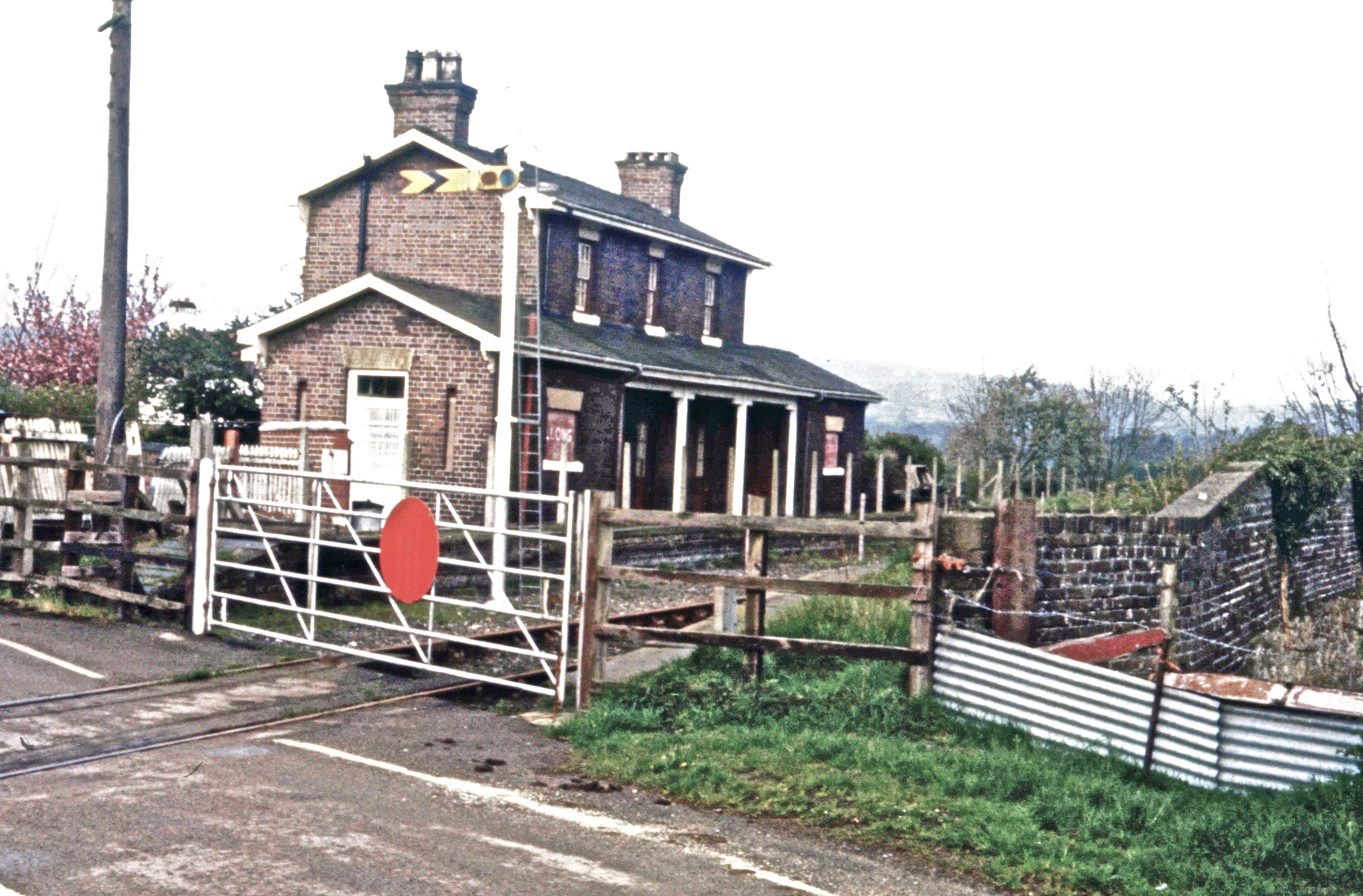
Llong railway station
Llong railway station was a station in Llong, Flintshire, Wales. The station was opened on 14 August 1849 and closed on 30 April 1962. The station building...

Buckley, Flintshire
Buckley (Welsh: Bwcle [ˈbʊklɛ]) is a town and community in Flintshire, north-east Wales, two miles (3 km) from the county town of Mold and contiguous with...
Nearby Amenities
Located within 500m of 53.167503,-3.110786Have you been to Argoed?
Leave your review of Argoed below (or comments, questions and feedback).