Mynydd Isa
Settlement in Flintshire
Wales
Mynydd Isa
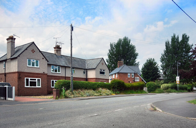
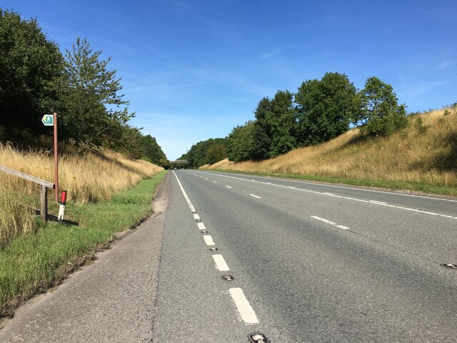
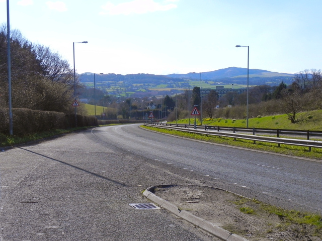
Mynydd Isa is a small village located in the county of Flintshire, Wales. Situated approximately 11 miles west of the town of Chester, it is nestled in the beautiful countryside of North Wales. The village is surrounded by rolling green hills and offers stunning views of the Clwydian Range, making it a popular destination for nature lovers and hikers.
The name Mynydd Isa translates to "lower mountain" in Welsh, reflecting its elevated position in the region. Despite its name, the village itself is not located on a mountain but rather on a slight incline, providing residents with an elevated perspective of the surrounding area.
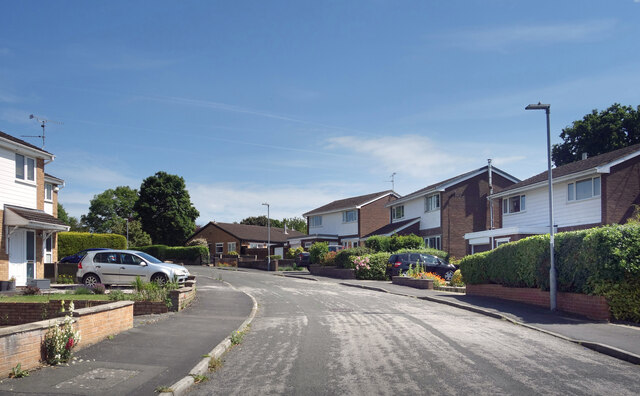
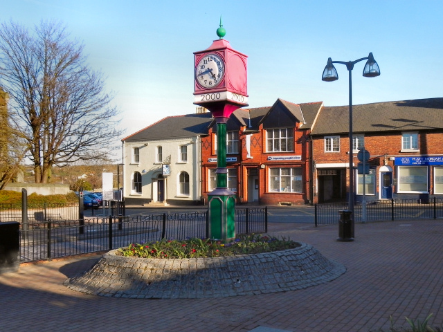
The village has a close-knit community and a rich history. It was originally a rural farming community, but over the years, it has developed into a residential area with a mix of traditional and modern houses. Mynydd Isa offers a peaceful and tranquil environment, away from the hustle and bustle of urban life.
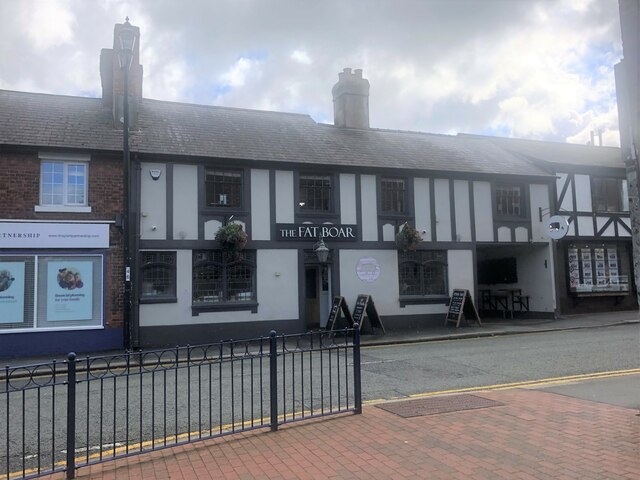
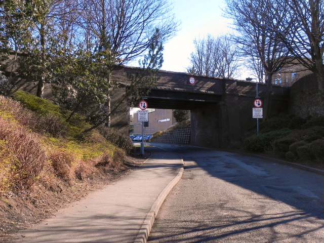
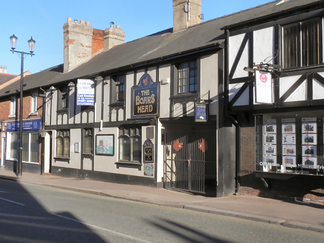
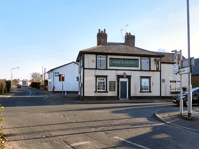
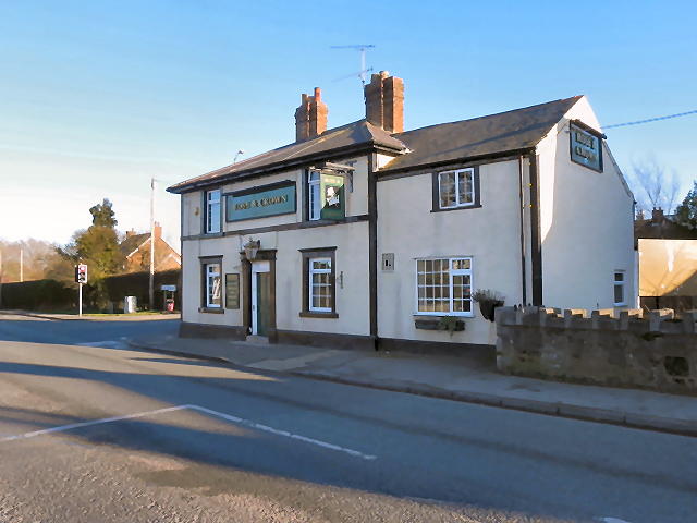
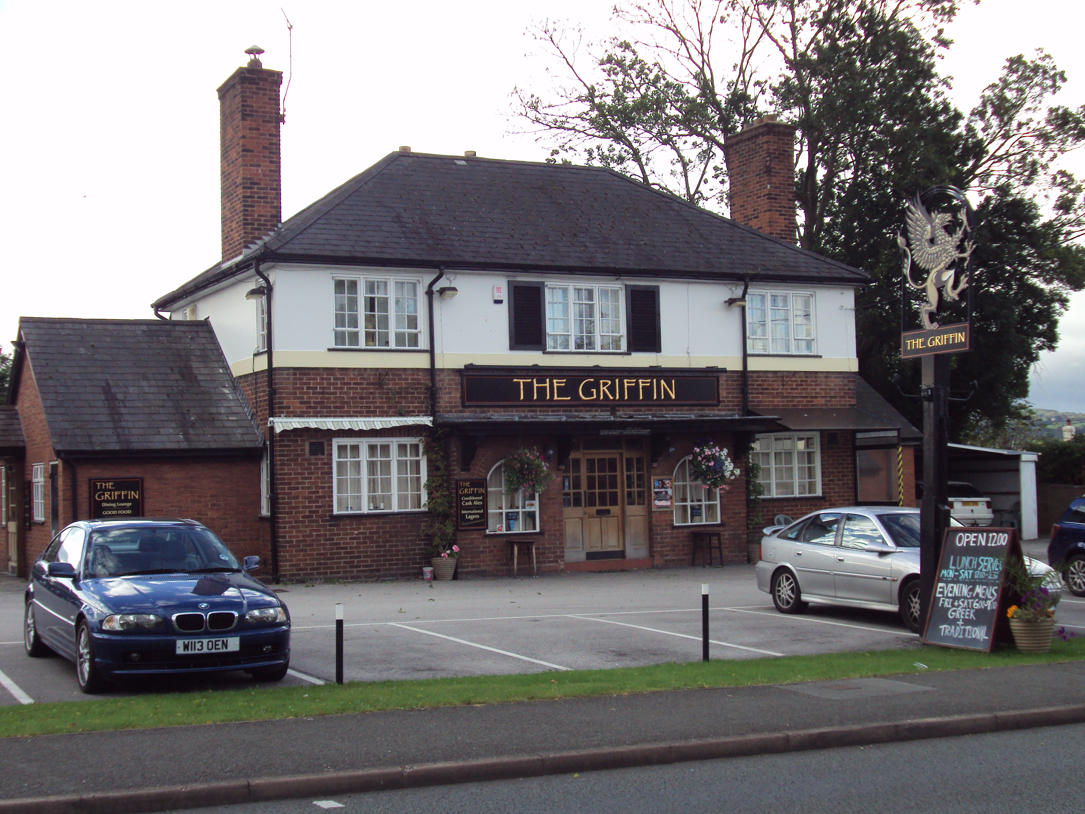
Facilities in Mynydd Isa include a primary school, a community center, a local pub, and a small selection of shops, providing basic amenities for its residents. The village is well-connected to neighboring towns and cities, with regular bus services and easy access to major road networks.
Overall, Mynydd Isa offers a picturesque and idyllic setting, making it an attractive place to live for those seeking a peaceful and scenic location in the heart of Flintshire.
If you have any feedback on the listing, please let us know in the comments section below.
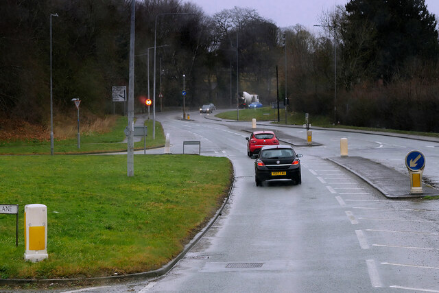
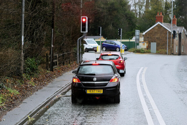
Mynydd Isa Images
Images are sourced within 2km of 53.164769/-3.110895 or Grid Reference SJ2563. Thanks to Geograph Open Source API. All images are credited.


Mynydd Isa is located at Grid Ref: SJ2563 (Lat: 53.164769, Lng: -3.110895)
Unitary Authority: Flintshire
Police Authority: North Wales
What 3 Words
///already.cocoons.reddish. Near Buckley, Flintshire
Nearby Locations
Related Wikis
Mynydd Isa
Mynydd Isa ([ˌmənɨ̞ð ˈɪsa]; Welsh: Mynyddisa) is a village in Flintshire, in north-east Wales. It lies between the county town of Mold, and Buckley (which...
Argoed, Flintshire
Argoed (Welsh for 'wooded area' / 'in the wood') is a community in Flintshire, Wales, located between the towns of Mold and Buckley. The largest settlement...
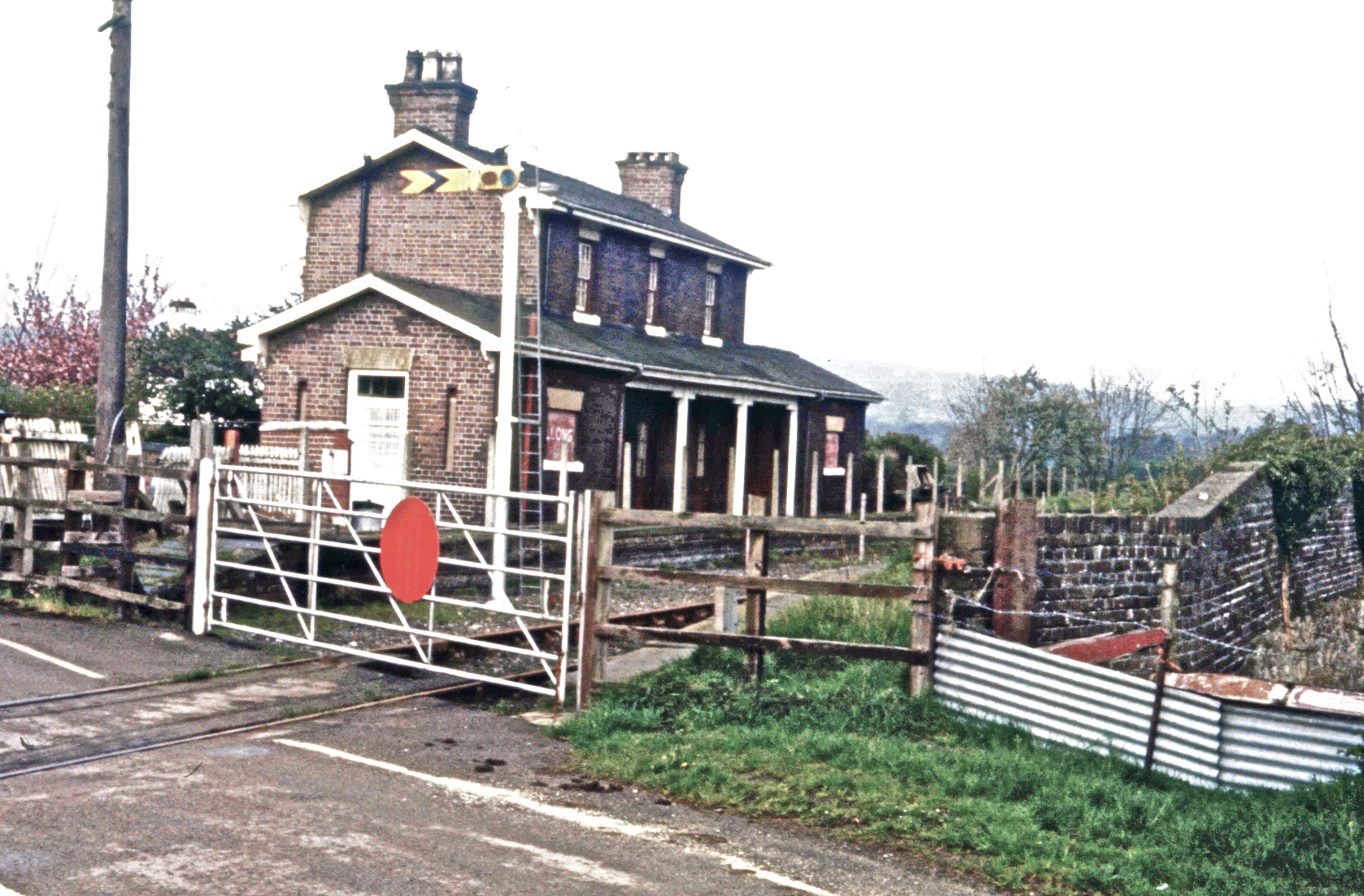
Llong railway station
Llong railway station was a station in Llong, Flintshire, Wales. The station was opened on 14 August 1849 and closed on 30 April 1962. The station building...

Mold, Flintshire
Mold (Welsh: Yr Wyddgrug) is a town and community in Flintshire, Wales, on the River Alyn. It is the county town and administrative seat of Flintshire...
Nearby Amenities
Located within 500m of 53.164769,-3.110895Have you been to Mynydd Isa?
Leave your review of Mynydd Isa below (or comments, questions and feedback).