Aldborough

Settlement in Norfolk North Norfolk

England

Aldborough

All Saints church, Thwaite
All Saints church, Thwaite Credit: Helen Steed

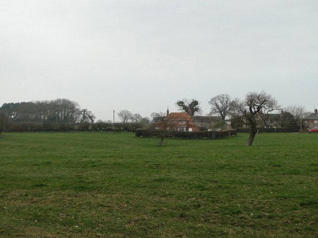
Aldborough is a small village located in the county of Norfolk, England. Situated approximately 14 miles north of the city of Norwich, it lies within the Broadland district. The village is surrounded by picturesque countryside, offering a peaceful and idyllic setting.

With a population of around 500 residents, Aldborough has a close-knit community atmosphere. The village boasts a range of amenities, including a primary school, a parish church, and a village hall. The primary school is highly regarded for its academic standards and nurturing environment.

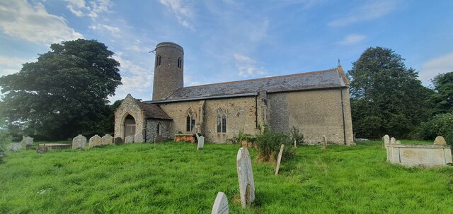
Aldborough is steeped in history, with evidence of human settlement dating back to the Roman times. The village is home to the ruins of a Roman fort, which once served as an important military outpost in the region. The fort's remains, including sections of the defensive walls, can still be seen today and attract visitors interested in archaeology and history.

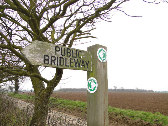
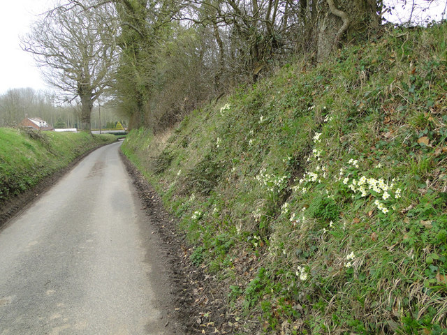
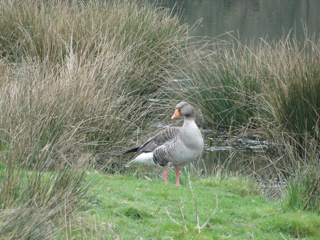
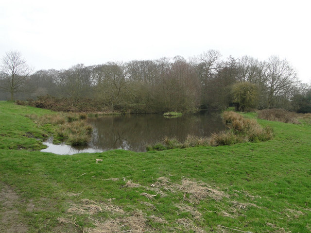
The surrounding countryside offers ample opportunities for outdoor activities, such as walking and cycling. The nearby River Bure provides opportunities for boating and fishing. Additionally, there are several nature reserves in the area, allowing visitors to explore and appreciate the local wildlife and flora.

Aldborough is well-connected to neighboring towns and cities by road, with good transport links to Norwich and the wider Norfolk area. It is a charming and tranquil village, offering a peaceful retreat for both residents and visitors alike.

If you have any feedback on the listing, please let us know in the comments section below.
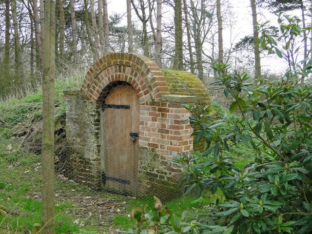
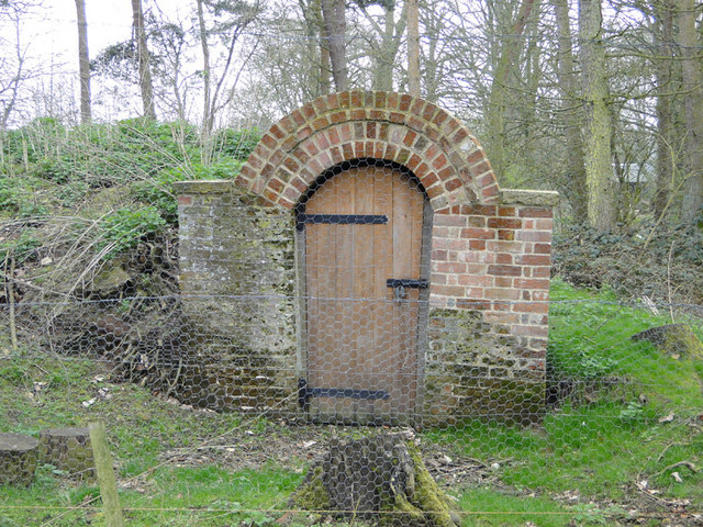
Aldborough Images

Images are sourced within 2km of 52.861073/1.2420194 or Grid Reference TG1834. Thanks to Geograph Open Source API. All images are credited.

All Saints church, Thwaite
Interior of All Saints church, Thwaite
Hanworth Hall <span class="nowrap"><a title="https://historicengland.org.uk/listing/the-list/list-entry/1049863?section=official-list-entry" rel="nofollow ugc noopener" href="https://historicengland.org.uk/listing/the-list/list-entry/1049863?section=official-list-entry">Link</a><img style="margin-left:2px;" alt="External link" title="External link - shift click to open in new window" src="https://s1.geograph.org.uk/img/external.png" width="10" height="10"/></span>
Hanworth Hall
Church of All Saints, Alby with Thwaite <span class="nowrap"><a title="https://historicengland.org.uk/listing/the-list/list-entry/1049886?section=official-list-entry" rel="nofollow ugc noopener" href="https://historicengland.org.uk/listing/the-list/list-entry/1049886?section=official-list-entry">Link</a><img style="margin-left:2px;" alt="External link" title="External link - shift click to open in new window" src="https://s1.geograph.org.uk/img/external.png" width="10" height="10"/></span>
Church of All Saints, Alby with Thwaite
Church of St Mary, Aldborough <span class="nowrap"><a title="https://historicengland.org.uk/listing/the-list/list-entry/1373470?section=official-list-entry" rel="nofollow ugc noopener" href="https://historicengland.org.uk/listing/the-list/list-entry/1373470?section=official-list-entry">Link</a><img style="margin-left:2px;" alt="External link" title="External link - shift click to open in new window" src="https://s1.geograph.org.uk/img/external.png" width="10" height="10"/></span>
Church of St Mary, Aldborough
Church of All Saints, Thurgarton <span class="nowrap"><a title="https://historicengland.org.uk/listing/the-list/list-entry/1373472?section=official-list-entry" rel="nofollow ugc noopener" href="https://historicengland.org.uk/listing/the-list/list-entry/1373472?section=official-list-entry">Link</a><img style="margin-left:2px;" alt="External link" title="External link - shift click to open in new window" src="https://s1.geograph.org.uk/img/external.png" width="10" height="10"/></span>
Church of All Saints, Thurgarton
Public Bridleway sign and ploughed fields beyond From Ringbank Lane, which can also be seen in the picture
Public Bridleway sign and ploughed fields beyond
From Ringbank Lane, which can also be seen in the picture
Ringbank Lane, Hanworth with primroses
Mud on Road, Ringbank Lane, Hanworth
Primroses on the bank of Ringbank Lane, Hanworth
Pond at Hanworth
Pond at Hanworth
Pond at Hanworth
Pond at Hanworth
Greylag goose beside the pond at Hanworth
Pond at Hanworth
Pond at Hanworth
Entrance to the ice house in the grounds of Hanworth Hall
Meadowland and house at Hanworth
Winter wheat field with Hanworth Hall in the background
Show me another place!

Aldborough is located at Grid Ref: TG1834 (Lat: 52.861073, Lng: 1.2420194)

Administrative County: Norfolk

District: North Norfolk

Police Authority: Norfolk

What 3 Words

///hatter.locator.porridge. Near Aylsham, Norfolk

Related Wikis

Nearby Amenities

Located within 500m of 52.861073,1.2420194
Aldborough
Place: village
Source: npe
Wikidata: Q326831
Lat/Long: 52.8611035/1.2433616
Bus Stop
green, adj
Naptan AtcoCode: 2900A064
Naptan Bearing: N
Naptan BusStopType: CUS
Naptan CommonName: green
Naptan Indicator: adj
Naptan Landmark: public house
Naptan Locality: Aldborough
Naptan NaptanCode: nfoadatg
Naptan ShortCommonName: green
Naptan Street: Green
Naptan Verified: no
Source: naptan_import
Lat/Long: 52.862474/1.2419957
Bus Stop
green, opp
Naptan AtcoCode: 2900A067
Naptan Bearing: SE
Naptan CommonName: green
Naptan Indicator: opp
Naptan Landmark: public house
Naptan Locality: Aldborough
Naptan NaptanCode: nfoadatp
Naptan Street: Green
Naptan Verified: no
Source: naptan_import
Lat/Long: 52.8625301/1.2421293
Bus Stop
Margaret Lilley Way, adj
Naptan AtcoCode: 2900A068
Naptan Bearing: NW
Naptan BusStopType: CUS
Naptan CommonName: Margaret Lilley Way
Naptan Indicator: adj
Naptan Landmark: Margaret Lilley Way
Naptan Locality: Aldborough
Naptan NaptanCode: nfoadatw
Naptan ShortCommonName: Margaret Lilley Wy
Naptan Street: Thurgarton Road
Naptan Verified: no
Source: naptan_import
Lat/Long: 52.8636643/1.2408957
Bus Stop
Margaret Lilley Way, opp
Naptan AtcoCode: 2900A069
Naptan Bearing: SE
Naptan BusStopType: CUS
Naptan CommonName: Margaret Lilley Way
Naptan Indicator: opp
Naptan Landmark: Margaret Lilley Way
Naptan Locality: Aldborough
Naptan NaptanCode: nfoadawa
Naptan ShortCommonName: Margaret Lilley Wy
Naptan Street: Thurgarton Road
Naptan Verified: no
Source: naptan_import
Lat/Long: 52.8636484/1.2411471
Pub
The Old Red Lion
Lat/Long: 52.8613235/1.2435608
Post Office
Aldborough Post Office
Addr Postcode: NR11 7AA
Branch: Aldborough
Brand: Post Office
Brand Wikidata: Q1783168
Check Date: 2020-02-20
Contact Website: https://www.postoffice.co.uk/branch-finder/0521361/aldborough
Ref Pol Id: 99
Lat/Long: 52.8625781/1.2445987
Post Box
Collection Times: Mo-Fr 17:00; Sa 09:45
Post Box Mounting: brick_pillar
Post Box Type: wall
Ref: NR11 1125
Royal Cypher: EIIR
Royal Cypher Wikidata: Q33102113
Lat/Long: 52.8624931/1.2444901
Bench
Backrest: yes
Lat/Long: 52.8617397/1.2437131
Bench
Backrest: yes
Lat/Long: 52.8618099/1.2423961
Telephone
Booth: K6
Covered: booth
Listed Status: Grade II
Lat/Long: 52.8625222/1.2422348
Bench
Backrest: yes
Lat/Long: 52.8624486/1.2442604
Barrier: kissing_gate
Bicycle: no
Foot: yes
Lat/Long: 52.8636871/1.2453913
Post Box
Collection Times: Mo-Fr 17:00; Sa 09:45
Post Box Type: lamp
Ref: NR11 1144
Royal Cypher: EIIR
Royal Cypher Wikidata: Q33102113
Lat/Long: 52.8566099/1.2416622
Aldborough
Inscription: WI
Man Made: village_sign
Material: wood
Lat/Long: 52.86121/1.2421844
Doctors
Aldbourgh Surgery & Dispensary
Lat/Long: 52.8627446/1.2459852
Bench
Lat/Long: 52.8625489/1.2423074
The data included in this document is from www.openstreetmap.org. The data is made available under ODbL.

Have you been to Aldborough?

Leave your review of Aldborough below (or comments, questions and feedback).