Aldborough

Settlement in Yorkshire Harrogate

England

Aldborough

Old Court House and stocks <span class="nowrap"><a title="https://historicengland.org.uk/listing/the-list/list-entry/1295964" rel="nofollow ugc noopener" href="https://historicengland.org.uk/listing/the-list/list-entry/1295964">Link</a><img style="margin-left:2px;" alt="External link" title="External link - shift click to open in new window" src="https://s1.geograph.org.uk/img/external.png" width="10" height="10"/></span>
Old Court House and stocks Credit: Sandy Gerrard

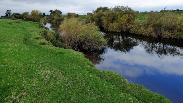
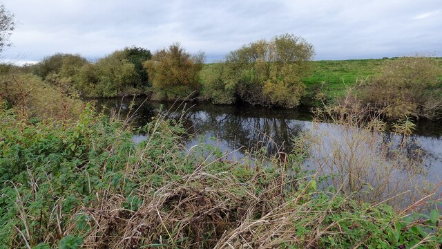
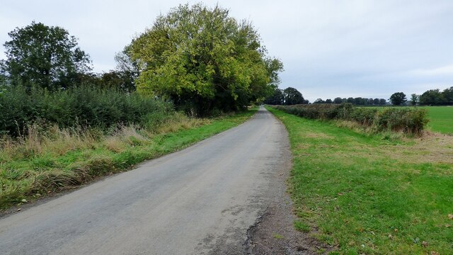
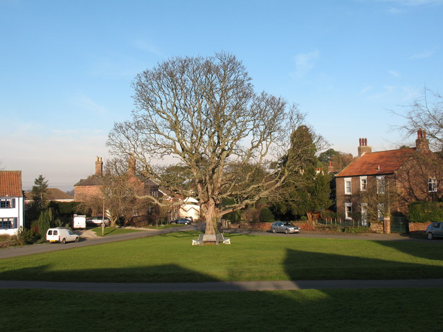
Aldborough, situated in the county of Yorkshire, England, is a small village with a rich historical background. Nestled in the Boroughbridge area of the Harrogate district, it has a population of around 1,000 residents. The village is located near the River Ure and is surrounded by picturesque countryside, offering a tranquil and scenic setting.

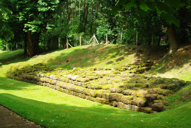
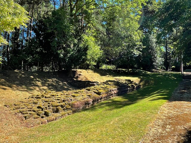
The history of Aldborough dates back to the Roman era when it was known as Isurium Brigantum. The remains of the ancient Roman town can still be seen today, including the well-preserved Roman wall and the impressive Roman amphitheater. These archaeological sites attract visitors from far and wide, providing a glimpse into the village's past.

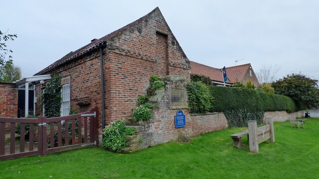
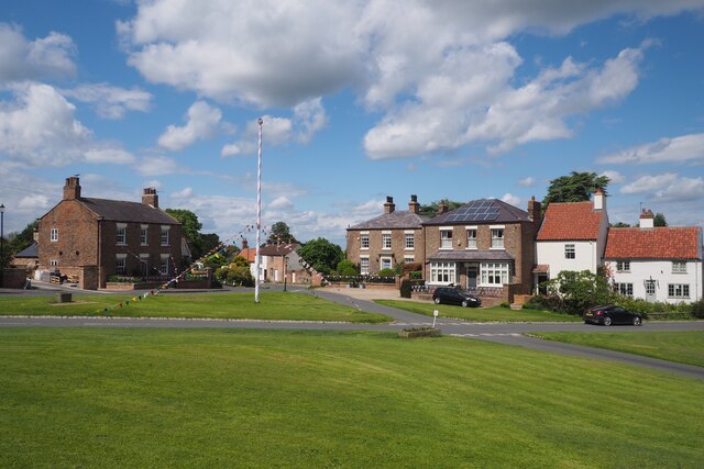
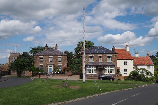
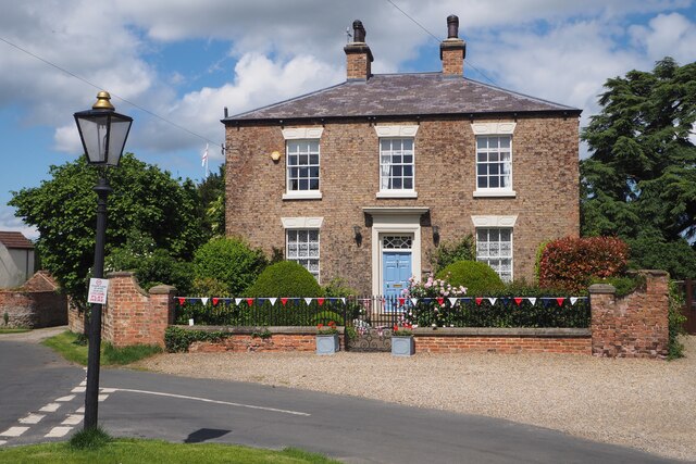
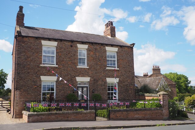
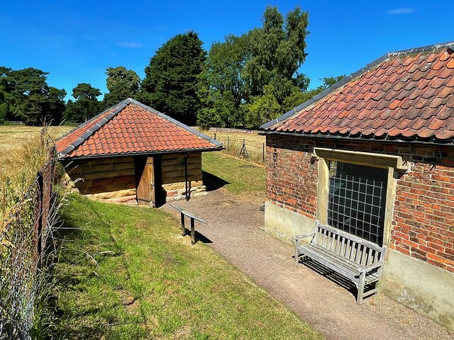
Aldborough also boasts a charming village center with a range of local amenities, including a post office, a church, and a selection of independent shops and cafes. The village is known for its friendly and close-knit community, with various community events and festivals held throughout the year.

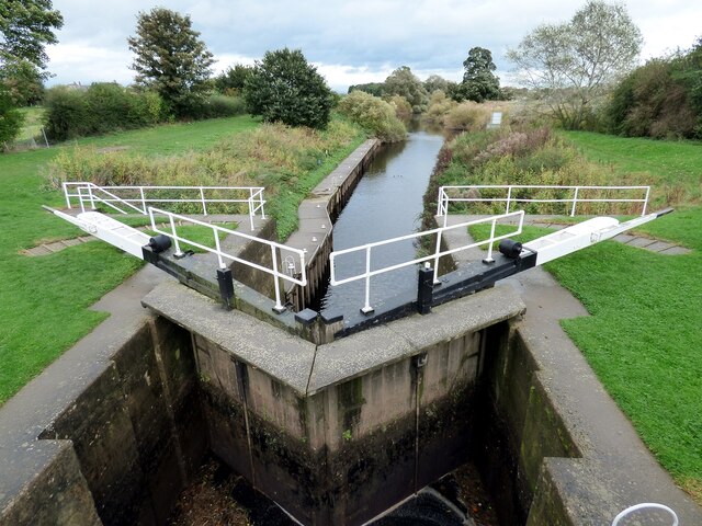
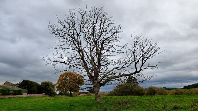
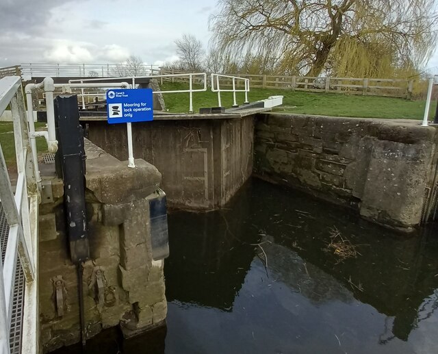
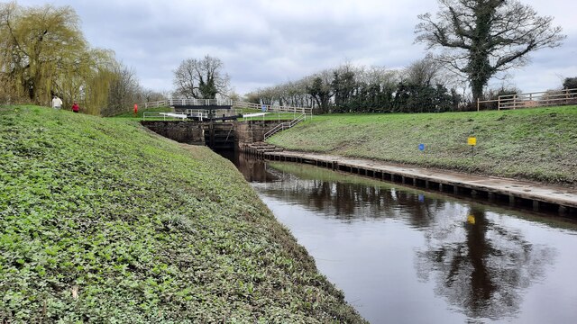
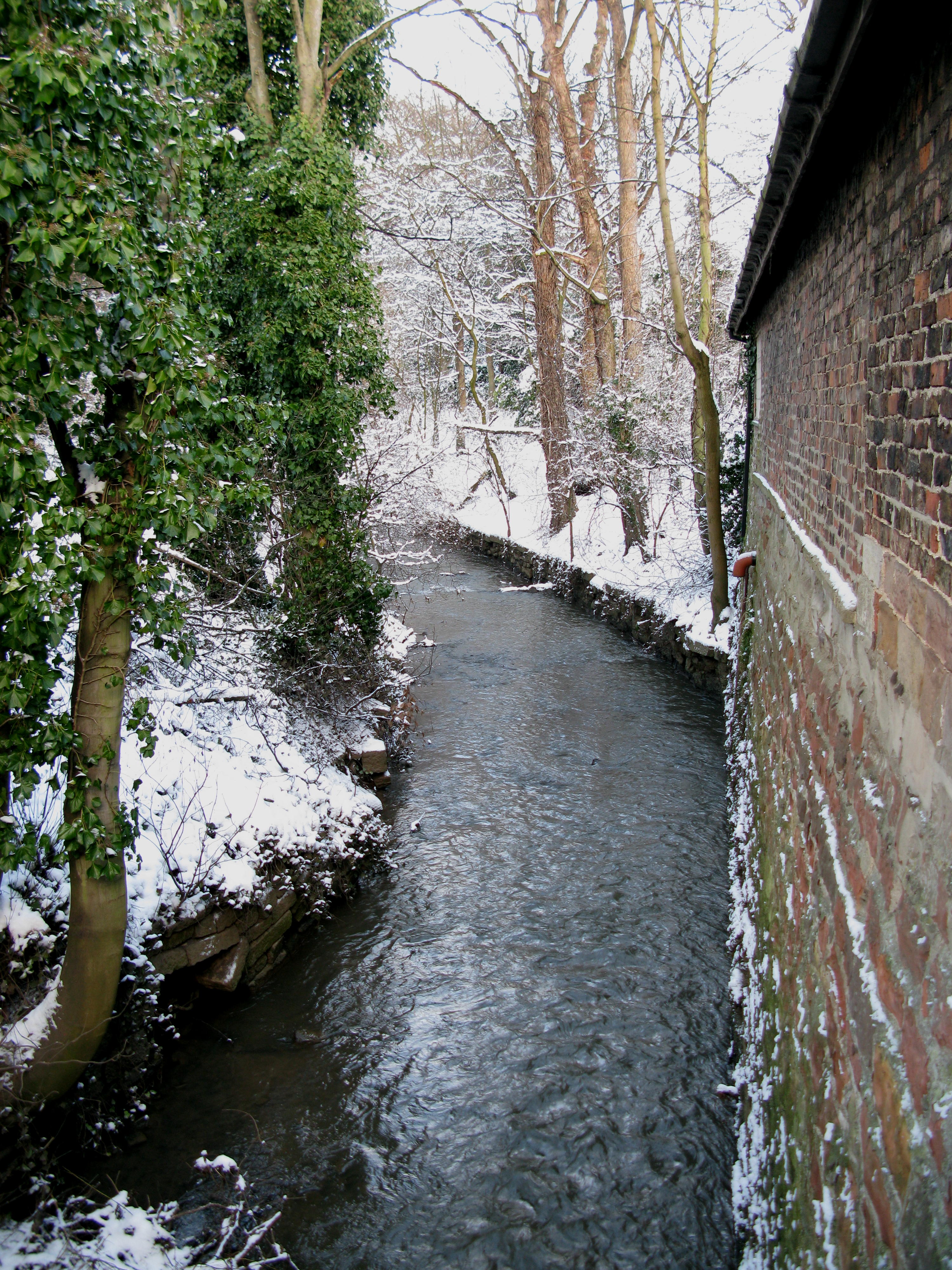
Surrounding Aldborough, the Yorkshire countryside offers ample opportunities for outdoor activities such as walking, cycling, and exploring nature. The nearby River Ure provides a great spot for fishing and boating enthusiasts.

Overall, Aldborough is a village steeped in history, offering a peaceful and idyllic setting for residents and visitors alike. Its Roman heritage, coupled with its picturesque surroundings, make it a popular destination for those seeking a relaxing and culturally enriching experience.

If you have any feedback on the listing, please let us know in the comments section below.

Aldborough Images

Images are sourced within 2km of 54.091645/-1.38106 or Grid Reference SE4066. Thanks to Geograph Open Source API. All images are credited.

Old Court House and stocks <span class="nowrap"><a title="https://historicengland.org.uk/listing/the-list/list-entry/1295964" rel="nofollow ugc noopener" href="https://historicengland.org.uk/listing/the-list/list-entry/1295964">Link</a><img style="margin-left:2px;" alt="External link" title="External link - shift click to open in new window" src="https://s1.geograph.org.uk/img/external.png" width="10" height="10"/></span>
Old Court House and stocks
River Ure at Aldborough
River Ure at Low Close Farm
Roman road leading to Aldborough Holbecks Lane following the line of the earlier Roman road.
Roman road leading to Aldborough
Holbecks Lane following the line of the earlier Roman road.
Milby Lock Eastern lock gate.
Milby Lock
Eastern lock gate.
Dead tree at Ellenthorpe Hall
Milby Lock The rivet and arrowhead is cut into the lock structure, downstream of the lock gates.
Milby Lock
The rivet and arrowhead is cut into the lock structure, downstream of the lock gates.
Milby Lock There is a rivet and arrowhead cut into the lock structure, and is close to the blue information board. It is on the Boroughbridge side of the lock gates.
Milby Lock
There is a rivet and arrowhead cut into the lock structure, and is close to the blue information board. It is on the Boroughbridge side of the lock gates.
Milby, Grange Farm There is the remains of a very faint benchmark on the right hand edge of the roadside farm building of Grange Farm.
Milby, Grange Farm
There is the remains of a very faint benchmark on the right hand edge of the roadside farm building of Grange Farm.
Milby Lock and footbridge
The Maypole at Aldborough The Maypole was decorated with flags in honour of the Queen's Platinum Jubilee.
The Maypole at Aldborough
The Maypole was decorated with flags in honour of the Queen's Platinum Jubilee.
The Maypole at Aldborough The Maypole is decorated with flags in honour of the Queen's Platinum Jubilee.
The Maypole at Aldborough
The Maypole is decorated with flags in honour of the Queen's Platinum Jubilee.
Attractive 19th Century Stone House in Aldborough This very attractive house named Hazeldene dates from the early 19th century and is a Grade II listed building. It faces towards the green where the Maypole stands. The house is decorated with flags in honour of the Queen's Platinum Jubilee.
Attractive 19th Century Stone House in Aldborough
This very attractive house named Hazeldene dates from the early 19th century and is a Grade II listed building. It faces towards the green where the Maypole stands. The house is decorated with flags in honour of the Queen's Platinum Jubilee.
An attractive Brick built House in Aldborough A most attractive house named Fernleigh situated near the Maypole in the green just nearby. The house is decorated with flags in honour of the Queen's Platinum Jubilee.
An attractive Brick built House in Aldborough
A most attractive house named Fernleigh situated near the Maypole in the green just nearby. The house is decorated with flags in honour of the Queen's Platinum Jubilee.
Roman Masonry Along the line of the town walls
Roman Masonry
Along the line of the town walls
Remains of the town wall  At Aldborough Roman Town. Aldborough was once the prosperous Roman town of Isurium Brigantum, which began as a trading settlement around AD 70, and became the civilian ‘capital’ of an extensive region of north Britain from about AD 120 to about AD 400. Now in the care of English Heritage.
Remains of the town wall
At Aldborough Roman Town. Aldborough was once the prosperous Roman town of Isurium Brigantum, which began as a trading settlement around AD 70, and became the civilian ‘capital’ of an extensive region of north Britain from about AD 120 to about AD 400. Now in the care of English Heritage.
Two small buildings at Aldborough At Aldborough Roman Town. The buildings protect the mosaics found here, some of the finest in the UK.
Two small buildings at Aldborough
At Aldborough Roman Town. The buildings protect the mosaics found here, some of the finest in the UK.
Milby Lock and footbridge
Show me another place!

Aldborough is located at Grid Ref: SE4066 (Lat: 54.091645, Lng: -1.38106)

Division: West Riding

Administrative County: North Yorkshire

District: Harrogate

Police Authority: North Yorkshire

What 3 Words

///sifts.spirit.ferried. Near Boroughbridge, North Yorkshire

Nearby Locations

Isvrivm Aldborough

Related Wikis

Aldborough, North Yorkshire

Aldborough is a village 7 miles (11 km) in the civil parish of Boroughbridge, to the north-east of Knaresborough, in North Yorkshire, England.Historically...

Isurium Brigantum

Isurium or Isurium of the Brigantes (Latin: Isurium Brigantum) was a Roman fort and town in the province of Britannia at the site of present-day Aldborough...

Aldborough Castle

Aldborough Castle was located near the village of Aldborough, North Yorkshire, England. The castle was located to the south-west of the village, built...

River Tutt

The River Tutt is a 8.7-mile (14 km) long tributary of the River Ure in North Yorkshire, England. The river rises near to the villages of Nidd and Scotton...

Nearby Amenities

Located within 500m of 54.091645,-1.38106
Aldborough
Is In Country Code: GB
Is In County: North Yorkshire
Is In Historic County: Yorkshire
Is In Municipality: Harrogate
Old Name: Isurium Brigantum
Place: village
Source: NPE
Wikidata: Q3362320
Wikipedia: en:Aldborough, North Yorkshire
Lat/Long: 54.0911361/-1.3804879
Studforth Hill
Description: The earthwork remains of a ploughed out ring earthwork or ring motte, possibly a medieval timber castle.
Historic: archaeological_site
Old Name: Stuteville; Stodart; Stodhart; Vetus Burgus
Source: NPE
Website: http://www.gatehouse-gazetteer.info/English%20sites/2029.html
Lat/Long: 54.0881157/-1.3796296
Aldborough Roman Site Museum
Operator: English Heritage
Tourism: museum
Website: https://www.english-heritage.org.uk/visit/places/aldborough-roman-site/
Lat/Long: 54.0898711/-1.3823545
Pub
Ship Inn
Addr City: Aldbrough
Addr Postcode: YO51 9ER
Addr Street: Low Road
Wikidata: Q26468567
Lat/Long: 54.0924983/-1.3805723
Booth: K6
Covered: booth
Note: Empty
Survey Date: 6/8/21
Lat/Long: 54.0901879/-1.3819205
Post Box
Post Box Type: lamp
Lat/Long: 54.0918066/-1.3814726
Give Way
Lat/Long: 54.091287/-1.3806823
Give Way
Lat/Long: 54.0912375/-1.3806188
The data included in this document is from www.openstreetmap.org. The data is made available under ODbL.

Have you been to Aldborough?

Leave your review of Aldborough below (or comments, questions and feedback).