Mill Plantation

Wood, Forest in Norfolk North Norfolk

England

Mill Plantation

All Saints church, Thwaite
All Saints church, Thwaite Credit: Helen Steed

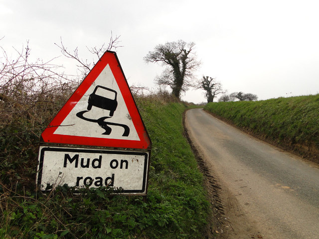
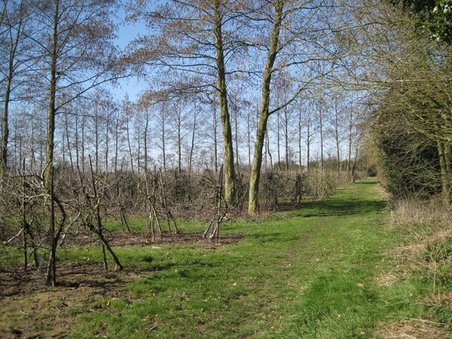
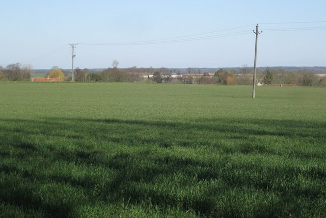
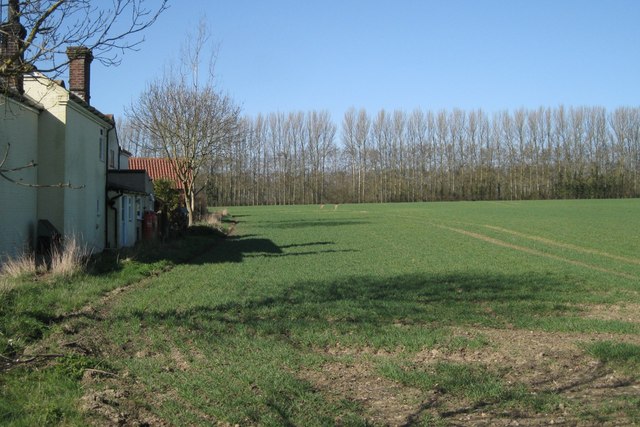
Mill Plantation is a picturesque woodland located in Norfolk, England. Spread over a sprawling area, this enchanting forest is known for its lush greenery, diverse flora, and serene ambience. The plantation is situated in close proximity to the village of Wood, making it easily accessible to nature enthusiasts and visitors.

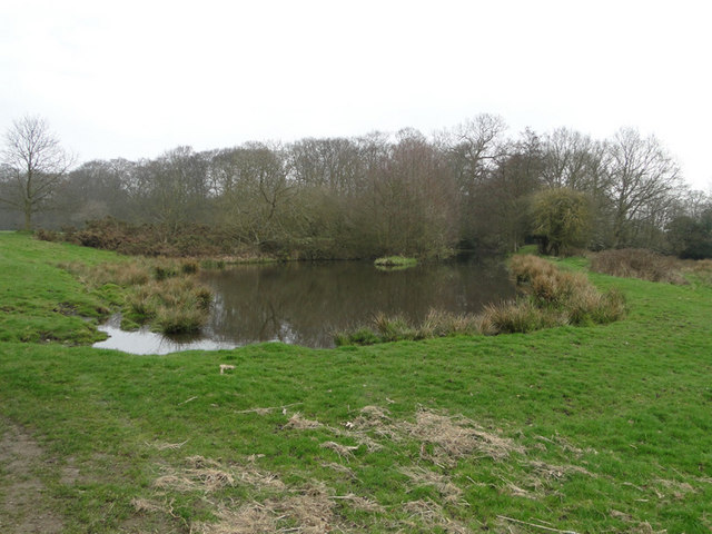
The plantation is home to a wide variety of tree species, including oak, beech, ash, and birch, which contribute to its rich biodiversity. These trees provide a haven for numerous bird species, making it a popular spot for birdwatching. Visitors can spot woodpeckers, owls, and various songbirds amidst the dense foliage.

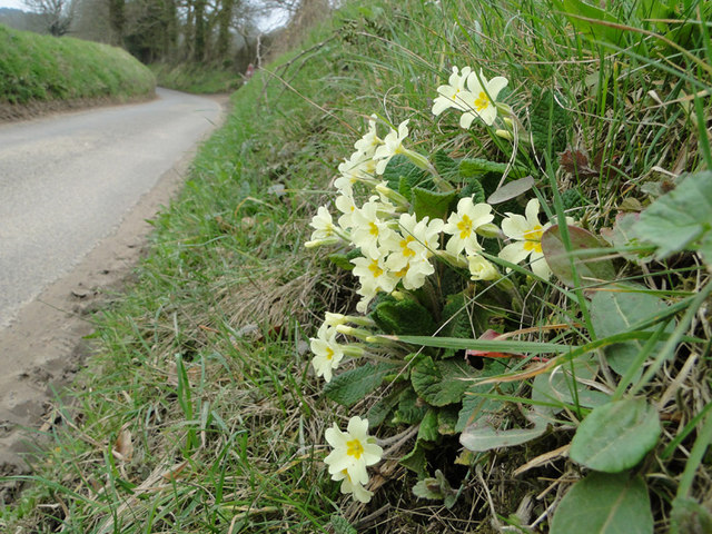
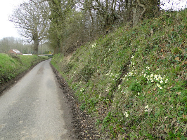
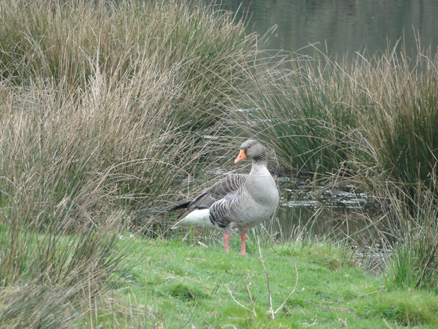
The forest floor is adorned with a carpet of wildflowers, adding bursts of color to the surroundings. It is not uncommon to come across delicate bluebells, vibrant primroses, and dainty violets while exploring the plantation. The undergrowth is also teeming with wildlife, such as squirrels, rabbits, and foxes, creating a harmonious ecosystem.

Mill Plantation offers a range of recreational activities for visitors to enjoy. There are well-maintained walking trails that wind through the forest, providing an opportunity for hikers and nature lovers to immerse themselves in the beauty of their surroundings. The plantation also has designated picnic areas, allowing families and friends to relax and enjoy a meal amidst nature.

Overall, Mill Plantation in Norfolk is a haven for those seeking solace in nature. With its diverse plant and animal life, scenic walking trails, and tranquil atmosphere, it is a must-visit destination for anyone looking to reconnect with the natural world.

If you have any feedback on the listing, please let us know in the comments section below.

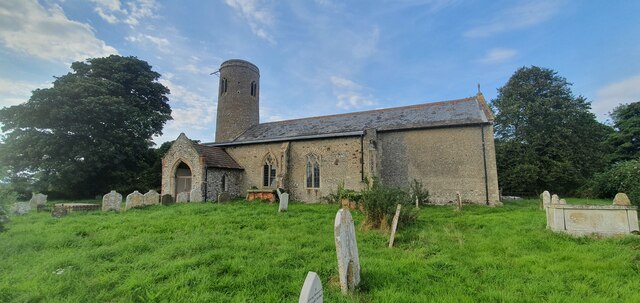
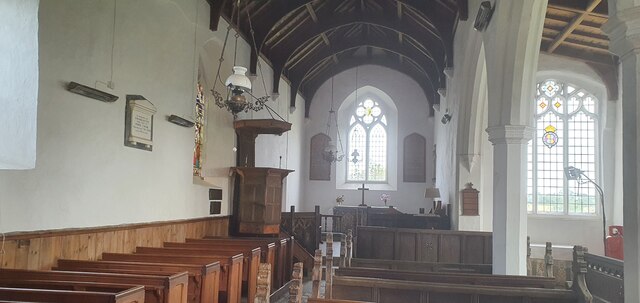
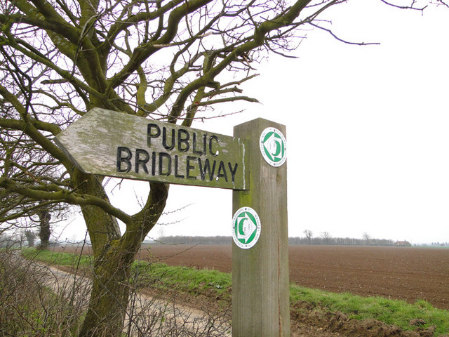
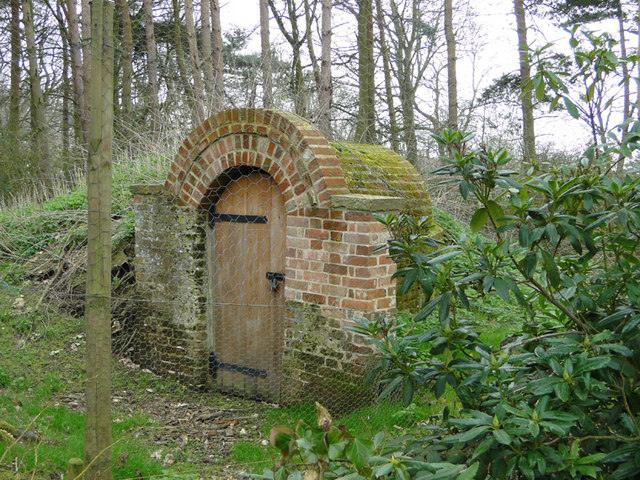
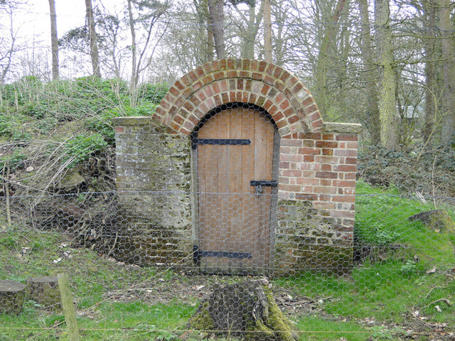
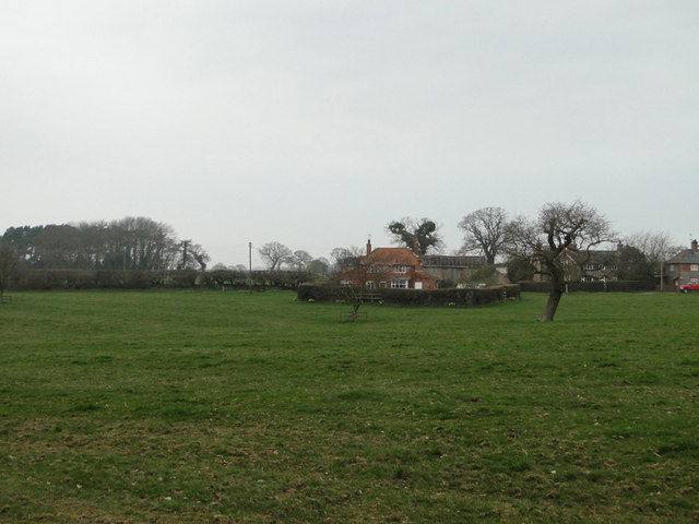
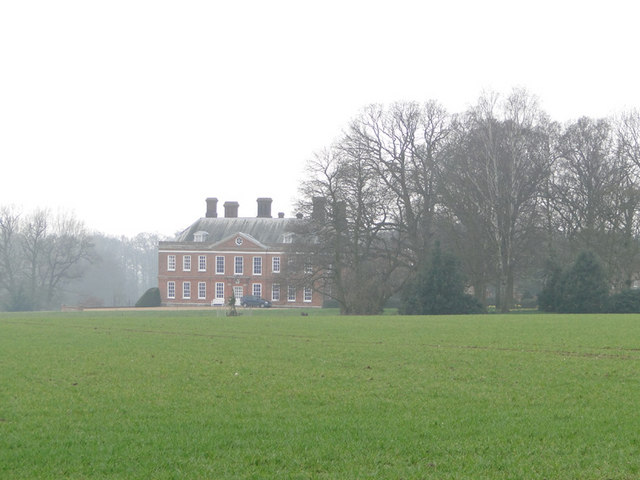
Mill Plantation Images

Images are sourced within 2km of 52.859086/1.2475917 or Grid Reference TG1834. Thanks to Geograph Open Source API. All images are credited.

All Saints church, Thwaite
Interior of All Saints church, Thwaite
Public Bridleway sign and ploughed fields beyond From Ringbank Lane, which can also be seen in the picture
Public Bridleway sign and ploughed fields beyond
From Ringbank Lane, which can also be seen in the picture
Ringbank Lane, Hanworth with primroses
Mud on Road, Ringbank Lane, Hanworth
Primroses on the bank of Ringbank Lane, Hanworth
Pond at Hanworth
Pond at Hanworth
Pond at Hanworth
Pond at Hanworth
Greylag goose beside the pond at Hanworth
Pond at Hanworth
Pond at Hanworth
Entrance to the ice house in the grounds of Hanworth Hall
Meadowland and house at Hanworth
Winter wheat field with Hanworth Hall in the background
Orchard, mid-March There is a surprising contrast between the lofty windbreaks of Grey Alder (Alnus incana) and the apple trees which appear to be growing on a dwarfing rootstock. Photographed at a junction of public footpaths.
Orchard, mid-March
There is a surprising contrast between the lofty windbreaks of Grey Alder (Alnus incana) and the apple trees which appear to be growing on a dwarfing rootstock. Photographed at a junction of public footpaths.
Edge of a field of grass Beyond the left-hand pole there is another large field; the land falls gently away towards the village of Thurgarton, northwest of Aldborough.
Edge of a field of grass
Beyond the left-hand pole there is another large field; the land falls gently away towards the village of Thurgarton, northwest of Aldborough.
Orchard southwest of Aldborough Across the field rows of poplar and Grey Alder shelter an orchard of dwarfed apple trees. According to OS  the buildings on the left are Manor Farm while Streetmap calls them Old School Cottages with Manor Farm to the north in TG1834: see <a href="https://www.geograph.org.uk/photo/2368507">TG1834 : 'Manor House', Thwaite Road</a> and <a href="https://www.geograph.org.uk/photo/2368519">TG1834 : Community bus at Manor Farm</a>
Orchard southwest of Aldborough
Across the field rows of poplar and Grey Alder shelter an orchard of dwarfed apple trees. According to OS the buildings on the left are Manor Farm while Streetmap calls them Old School Cottages with Manor Farm to the north in TG1834: see TG1834 : 'Manor House', Thwaite Road and TG1834 : Community bus at Manor Farm
'Manor House', Thwaite Road There are farm buildings behind the house. Streetmap identifies this as Manor Farm while OS gives that name to a property to the south which Streetmap calls Old School Cottages <a href="https://www.geograph.org.uk/photo/2368487">TG1833 : Orchard southwest of Aldborough</a>
'Manor House', Thwaite Road
There are farm buildings behind the house. Streetmap identifies this as Manor Farm while OS gives that name to a property to the south which Streetmap calls Old School Cottages TG1833 : Orchard southwest of Aldborough
Show me another place!

Mill Plantation is located at Grid Ref: TG1834 (Lat: 52.859086, Lng: 1.2475917)

Administrative County: Norfolk

District: North Norfolk

Police Authority: Norfolk

What 3 Words

///appetite.select.submerged. Near Aylsham, Norfolk

Related Wikis

Aldborough, Norfolk

Aldborough is a village and former civil parish, now in the parish of Aldborough and Thurgarton (together with Thurgarton), in the North Norfolk district...

Wickmere

Wickmere is a village and a civil parish in the English county of Norfolk, 18.9 miles (30.4 km) north of Norwich, 7.3 miles (11.7 km) south-southwest...
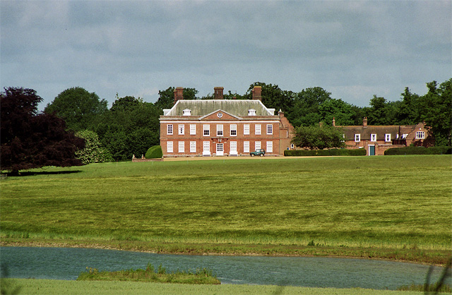
Hanworth Hall

Hanworth Hall is a large late 17th-century country house some 500 m to the south of the village of Hanworth, Norfolk, England. It is protected and recognised...

Gur Beck

Gur Beck is a minor watercourse which rises in the north of the English county of Norfolk. It is a tributary of the Scarrow Beck. Its spring is a little...

Nearby Amenities

Located within 500m of 52.859086,1.2475917
Aldborough
Place: village
Source: npe
Wikidata: Q326831
Lat/Long: 52.8611035/1.2433616
Bus Stop
Thwaite Hill Farm, adj
Naptan AtcoCode: 2900A054
Naptan Bearing: SE
Naptan BusStopType: CUS
Naptan CommonName: Thwaite Hill Farm
Naptan Indicator: adj
Naptan Landmark: Sewage Works
Naptan Locality: Alby
Naptan NaptanCode: nfoadamw
Naptan ShortCommonName: Thwaite Hill Farm
Naptan Street: Thwaite Hill Farm
Naptan Verified: no
Source: naptan_import
Lat/Long: 52.8556897/1.2473733
Bus Stop
Thwaite Hill Farm, opp
Naptan AtcoCode: 2900A057
Naptan Bearing: NW
Naptan BusStopType: CUS
Naptan CommonName: Thwaite Hill Farm
Naptan Indicator: opp
Naptan Landmark: Sewage Works
Naptan Locality: Alby
Naptan NaptanCode: nfoadapg
Naptan ShortCommonName: Thwaite Hill Farm
Naptan Street: Thwaite Hill Farm
Naptan Verified: no
Source: naptan_import
Lat/Long: 52.855611/1.2472931
Pub
The Old Red Lion
Lat/Long: 52.8613235/1.2435608
Post Office
Aldborough Post Office
Addr Postcode: NR11 7AA
Branch: Aldborough
Brand: Post Office
Brand Wikidata: Q1783168
Check Date: 2020-02-20
Contact Website: https://www.postoffice.co.uk/branch-finder/0521361/aldborough
Ref Pol Id: 99
Lat/Long: 52.8625781/1.2445987
Post Box
Collection Times: Mo-Fr 17:00; Sa 09:45
Post Box Mounting: brick_pillar
Post Box Type: wall
Ref: NR11 1125
Royal Cypher: EIIR
Royal Cypher Wikidata: Q33102113
Lat/Long: 52.8624931/1.2444901
Bench
Backrest: yes
Lat/Long: 52.8617397/1.2437131
Bench
Backrest: yes
Lat/Long: 52.8618099/1.2423961
Bench
Backrest: yes
Lat/Long: 52.8624486/1.2442604
Post Box
Collection Times: Mo-Fr 17:00; Sa 09:45
Post Box Type: lamp
Ref: NR11 1144
Royal Cypher: EIIR
Royal Cypher Wikidata: Q33102113
Lat/Long: 52.8566099/1.2416622
Aldborough
Inscription: WI
Man Made: village_sign
Material: wood
Lat/Long: 52.86121/1.2421844
Barrier: stile
Bicycle: no
Foot: yes
Material: wood
Stile: stepover
Lat/Long: 52.8622704/1.2507905
Barrier: stile
Bicycle: no
Foot: yes
Material: wood
Stile: stepover
Lat/Long: 52.862747/1.2491978
Parking
Lat/Long: 52.8617377/1.2535395
Power: pole
Lat/Long: 52.8630797/1.2492663
Power: pole
Lat/Long: 52.8619943/1.2505317
Power: pole
Transformer: distribution
Lat/Long: 52.8615438/1.2529073
Power: pole
Lat/Long: 52.8609196/1.2541228
Doctors
Aldbourgh Surgery & Dispensary
Lat/Long: 52.8627446/1.2459852
The data included in this document is from www.openstreetmap.org. The data is made available under ODbL.

Have you been to Mill Plantation?

Leave your review of Mill Plantation below (or comments, questions and feedback).