Aldborough Hatch

Settlement in Essex

England

Aldborough Hatch

Redbridge Sports and Leisure Centre Why do such places have huge car parks ? You would have thought .. Oh, never mind.
Redbridge Sports and Leisure Centre Credit: John Davies

Aldborough Hatch is a small village located in the London Borough of Redbridge, in the county of Essex, England. Situated approximately 10 miles northeast of Central London, the village is surrounded by the urban districts of Barkingside, Newbury Park, and Hainault. Despite its close proximity to the bustling city, Aldborough Hatch maintains its rural charm and peaceful atmosphere.

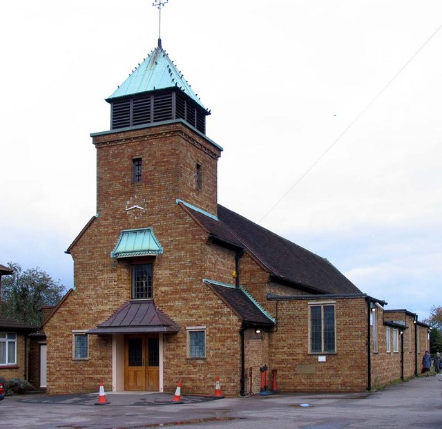
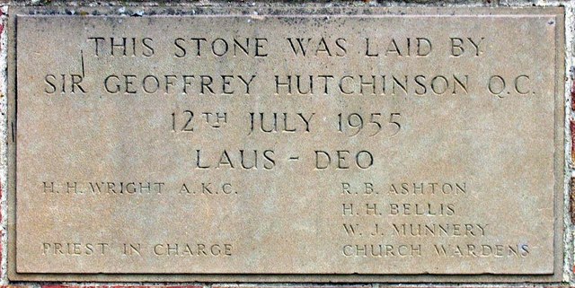
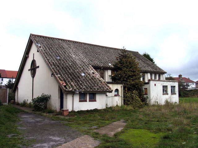
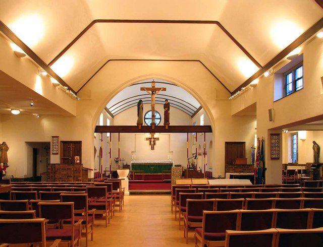
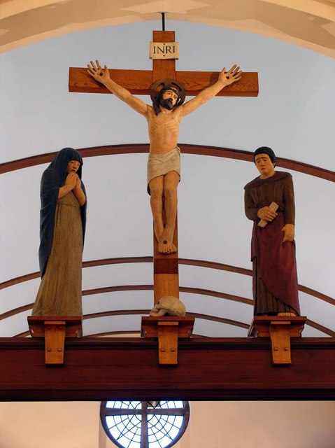
The village is known for its rich history, dating back to the Roman times when it was an important settlement along the main road from London to Colchester. Today, remnants of this heritage can still be found in the form of Roman artifacts and archaeological sites. The area is also home to several listed buildings, including the Grade II listed St. Peter's Church, which was built in the 12th century and stands as a testament to the village's long-standing presence.

Aldborough Hatch offers a range of amenities to its residents and visitors. The village has a primary school, local shops, and a few traditional pubs where locals gather to unwind. The surrounding countryside provides ample opportunities for outdoor activities, with several parks and green spaces nearby, including the expansive Hainault Forest Country Park.

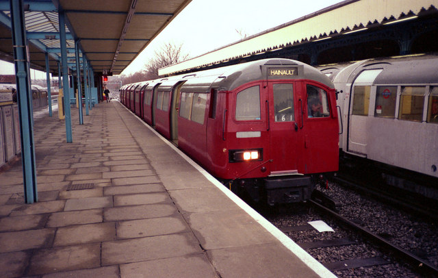
Transportation links are convenient, with several bus routes connecting the village to nearby towns and London Underground stations. The M11 motorway is also easily accessible, providing direct links to other parts of Essex and beyond.

Overall, Aldborough Hatch provides a tranquil retreat from the hustle and bustle of city life, while still offering easy access to urban amenities and cultural attractions.

If you have any feedback on the listing, please let us know in the comments section below.

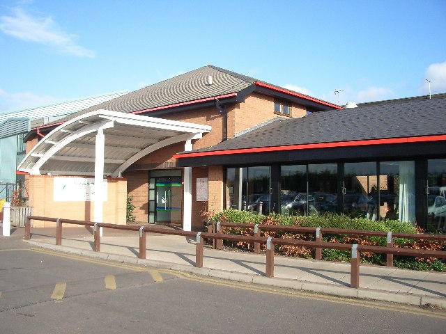
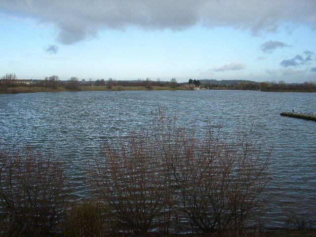
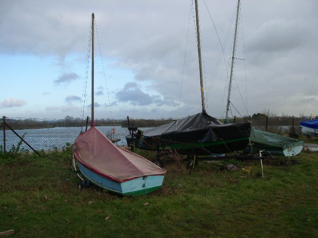
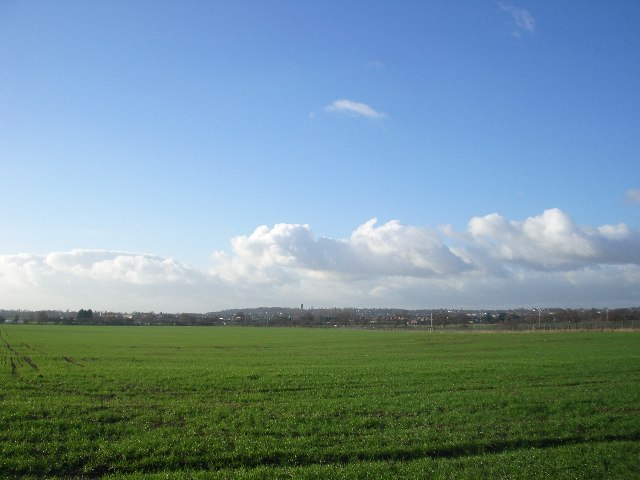
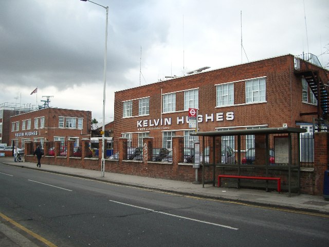
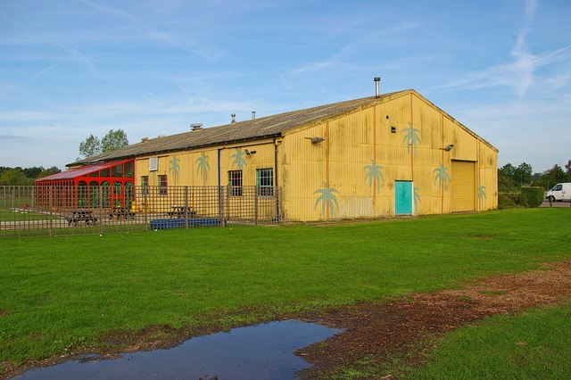
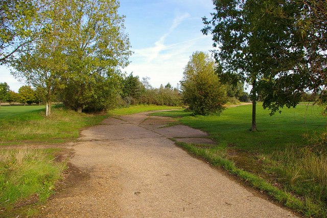
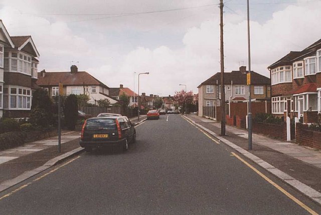
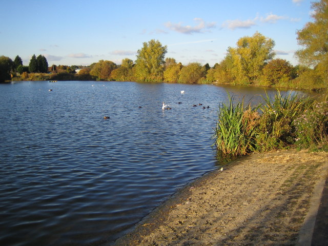
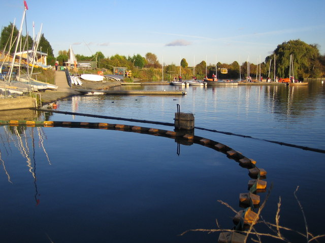
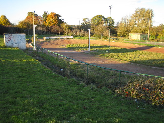
Aldborough Hatch Images

Images are sourced within 2km of 51.586424/0.098808 or Grid Reference TQ4589. Thanks to Geograph Open Source API. All images are credited.

Redbridge Sports and Leisure Centre Why do such places have huge car parks ? You would have thought .. Oh, never mind.
Redbridge Sports and Leisure Centre
Why do such places have huge car parks ? You would have thought .. Oh, never mind.
Fairlop Waters Country Park The former sand and gravel extraction area of Fairlop Plain is now a popular sailing and canoeing venue (in the summer, not when the January rain clouds are gathering, as here).
Fairlop Waters Country Park
The former sand and gravel extraction area of Fairlop Plain is now a popular sailing and canoeing venue (in the summer, not when the January rain clouds are gathering, as here).
Fairlop Waters Country Park Beached for the winter
Fairlop Waters Country Park
Beached for the winter
Possible future race course Fairlop Plain has been earmarked for the construction of a horse racing circuit, primarily to run races to be televised live to the far east. The plans have met much opposition. Here we are looking west from Hainault Road towards Fairlop Waters Country Park, with the tower of the former Claybury Hospital in the centre far distance.
Possible future race course
Fairlop Plain has been earmarked for the construction of a horse racing circuit, primarily to run races to be televised live to the far east. The plans have met much opposition. Here we are looking west from Hainault Road towards Fairlop Waters Country Park, with the tower of the former Claybury Hospital in the centre far distance.
Kelvin Hughes Head Office Kelvin Hughes, part of Smiths Marine Systems provides 'total marine navigation solutions'.  The head office, in New North Road, Hainault, has radar scanners revolving on the roof.
Kelvin Hughes Head Office
Kelvin Hughes, part of Smiths Marine Systems provides 'total marine navigation solutions'. The head office, in New North Road, Hainault, has radar scanners revolving on the roof.
RAF Fairlop Survivor? This asbestos building is on <a href="https://www.geograph.org.uk/photo/111606">TQ4590 : Fairlop Waters Country Park</a> this was built on the site of RAF Fairlop. The airfield opened as RFC Hainault Farm to counter the treat of Zeppelin raids in WW1, the base closed in 1919. The City of London Corporation bought the site before WW2 intending it to be London Airport but the site was requisitioned by the air ministry and a military base constructed. Operations began in November 1941 the base was used by Spitfires, Hurricane (fighter bomber version) and Typhoons it closed in 1946. I may be a tad romantic thinking this is a wartime survivor it is more likely to be associated with the gravel extraction that destroyed almost all vestiges of the aerodrome and created the lakes, however there are some concrete paths that look suspiciously like <a href="https://www.geograph.org.uk/photo/255652">TQ4590 : Fairlop Peri?</a>. To go to the next field in an alphabetical tour of Essex WW2 airfields click on <a href="https://www.geograph.org.uk/photo/221155">TL7830 : Gosfield Airfield</a>. Much information was gleaned from Graham Smith’s book “Essex Airfields In The Second World War”. <span class="nowrap"><a title="https://books.google.co.uk/books/about/Essex_Airfields_in_the_Second_World_War.html?id=u3atAAAACAAJ&redir_esc=y" rel="nofollow ugc noopener" href="https://books.google.co.uk/books/about/Essex_Airfields_in_the_Second_World_War.html?id=u3atAAAACAAJ&redir_esc=y">Link</a><img style="margin-left:2px;" alt="External link" title="External link - shift click to open in new window" src="https://s1.geograph.org.uk/img/external.png" width="10" height="10"/></span>
RAF Fairlop Survivor?
This asbestos building is on TQ4590 : Fairlop Waters Country Park this was built on the site of RAF Fairlop. The airfield opened as RFC Hainault Farm to counter the treat of Zeppelin raids in WW1, the base closed in 1919. The City of London Corporation bought the site before WW2 intending it to be London Airport but the site was requisitioned by the air ministry and a military base constructed. Operations began in November 1941 the base was used by Spitfires, Hurricane (fighter bomber version) and Typhoons it closed in 1946. I may be a tad romantic thinking this is a wartime survivor it is more likely to be associated with the gravel extraction that destroyed almost all vestiges of the aerodrome and created the lakes, however there are some concrete paths that look suspiciously like TQ4590 : Fairlop Peri?. To go to the next field in an alphabetical tour of Essex WW2 airfields click on TL7830 : Gosfield Airfield. Much information was gleaned from Graham Smith’s book “Essex Airfields In The Second World War”. LinkExternal link
Fairlop Peri? This is a concrete path that encircles much of <a href="https://www.geograph.org.uk/photo/111601">TQ4590 : Fairlop Waters Country Park</a> which is strong circumstantial evidence that this is the remains of the perimeter track of RAF Fairlop that formerly occupied the site see 
<a href="https://www.geograph.org.uk/photo/255648">TQ4590 : RAF Fairlop Survivor?</a>.
Fairlop Peri?
This is a concrete path that encircles much of TQ4590 : Fairlop Waters Country Park which is strong circumstantial evidence that this is the remains of the perimeter track of RAF Fairlop that formerly occupied the site see TQ4590 : RAF Fairlop Survivor?.
Virginia Gardens Virginia Gardens, Barkingside from its junction with Starch House Lane, looking towards the junction with Craven Gardens.
Virginia Gardens
Virginia Gardens, Barkingside from its junction with Starch House Lane, looking towards the junction with Craven Gardens.
Fairlop Waters A former gravel pit, this is the eastern end of the approximate fifteen hectare or thirty-eight acre lake, now used for sailing and windsurfing.
Fairlop Waters
A former gravel pit, this is the eastern end of the approximate fifteen hectare or thirty-eight acre lake, now used for sailing and windsurfing.
Fairlop Waters This is the lake's sailing centre. The site's website is here <span class="nowrap"><a title="http://www.fairlopwaters.info/index.asp" rel="nofollow ugc noopener" href="http://www.fairlopwaters.info/index.asp">Link</a><img style="margin-left:2px;" alt="External link" title="External link - shift click to open in new window" src="https://s1.geograph.org.uk/img/external.png" width="10" height="10"/></span>  The booms in the foreground are in place to trap debris and pollutants from entering the lake from the stream that feeds it.
Fairlop Waters
This is the lake's sailing centre. The site's website is here LinkExternal link The booms in the foreground are in place to trap debris and pollutants from entering the lake from the stream that feeds it.
Fairlop Waters: Cycle circuit Tucked away in the north-east corner of the Fairlop Waters country park is this rather neglected and badly rutted cycle circuit.

Update July 2010:
A correspondent writes that "The cycle track is no longer in existence, having been built over and is now a car park. New cycling facilities are available 2 kilometres away at Redbridge Cycling Centre".
Fairlop Waters: Cycle circuit
Tucked away in the north-east corner of the Fairlop Waters country park is this rather neglected and badly rutted cycle circuit. Update July 2010: A correspondent writes that "The cycle track is no longer in existence, having been built over and is now a car park. New cycling facilities are available 2 kilometres away at Redbridge Cycling Centre".
Hainault station With red tube train which was operating on the Hainault - Woodford shuttle
Hainault station
With red tube train which was operating on the Hainault - Woodford shuttle
St Francis of Assisi, Fencepiece Road, Ilford
St Francis of Assisi, Fencepiece Road, Ilford - Foundation stone
St Francis of Assisi, Fencepiece Road, Ilford - Old church Was used as a church hall
St Francis of Assisi, Fencepiece Road, Ilford - Old church
Was used as a church hall
St Francis of Assisi, Fencepiece Road, Ilford - East end
St Francis of Assisi, Fencepiece Road, Ilford - Font
St Francis of Assisi, Fencepiece Road, Ilford - Rood
Show me another place!

Aldborough Hatch is located at Grid Ref: TQ4589 (Lat: 51.586424, Lng: 0.098808)

Unitary Authority: Redbridge

Police Authority: Metropolitan

What 3 Words

///orange.catch.fails. Near Hainault, London

Nearby Locations

Aldborough Hatch

Related Wikis

RAF Fairlop

Royal Air Force Fairlop or more simply RAF Fairlop is a former Royal Air Force satellite station situated near Ilford in Essex. Fairlop is now a district...

Aldborough Hatch

Aldborough Hatch is an area in Ilford in east London, England, within the London Borough of Redbridge. It is located 11.1 miles (18 km) east-northeast...

Redbridge F.C.

Redbridge Football Club is an English association football club based in Barkingside in the London Borough of Redbridge. Prior to July 2004 the club was...

Newbury Forest F.C.

Newbury Forest Football Club is a football club based in England. They are currently members of the Eastern Counties League Division One South and play...

Barkingside tube station

Barkingside is a London Underground station on the Central line. It is on the eastern edge of Barkingside (a district of Ilford) in east London at the...

Barkingside

Barkingside is an area in Ilford, in the London Borough of Redbridge. It includes the major road junction of Fullwell Cross which also gives its name to...

Dr Barnardo's Memorial

The Memorial to Dr Barnardo by George Frampton, at Barkingside in the London Borough of Redbridge, commemorates the founder of the Barnardo's children...

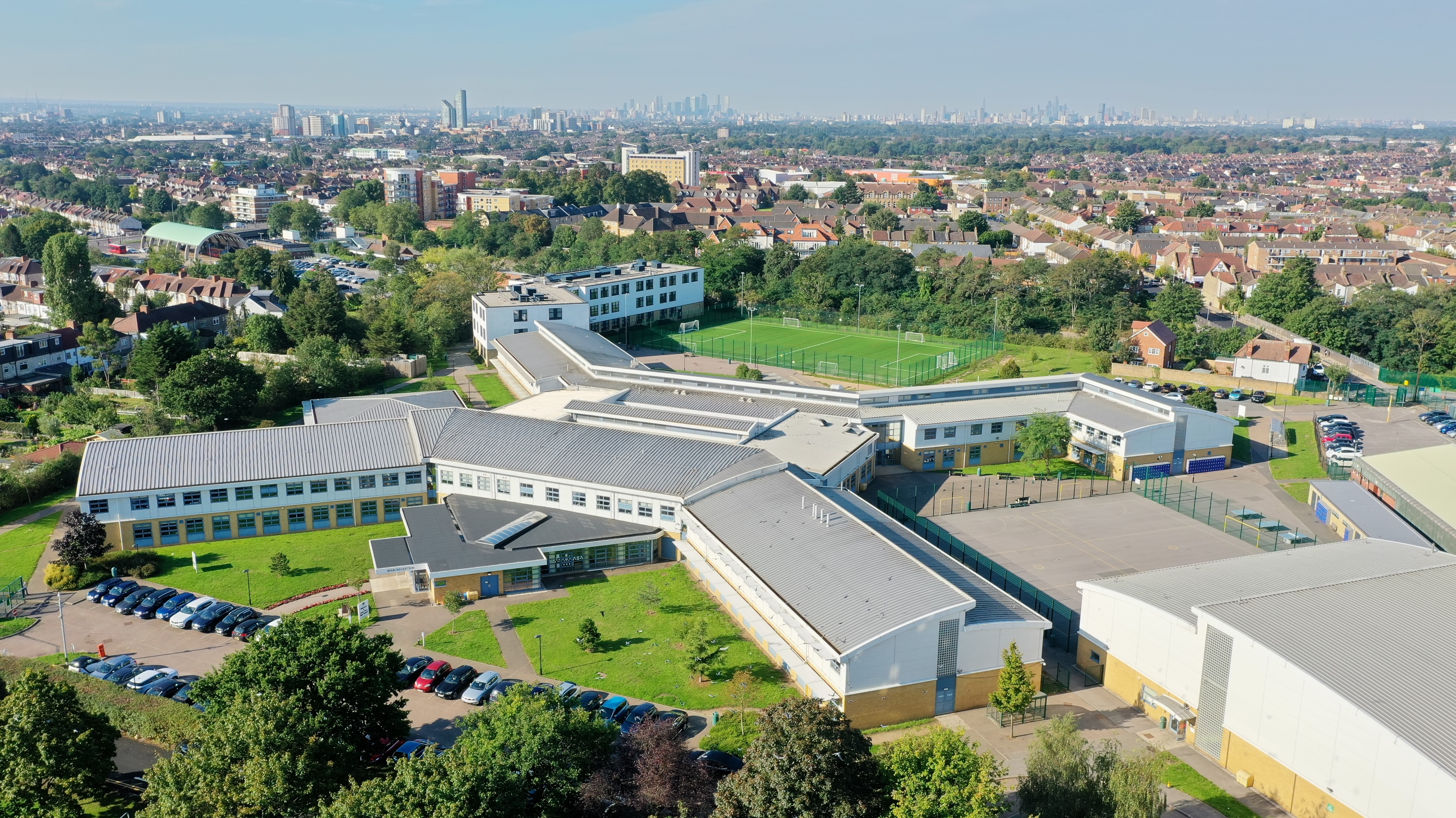
Oaks Park High School, Ilford

Oaks Park High School is a comprehensive community school situated in Newbury Park, Ilford, a suburb of London, England, in the United Kingdom. Opened...

Nearby Amenities

Located within 500m of 51.586424,0.098808
Barrier: bollard
Lat/Long: 51.5832509/0.0947773
Post Box
Operator: Royal Mail
Operator Wikidata: Q638098
Post Box Type: pillar
Source: bing;streetside
Lat/Long: 51.5831548/0.1013101
Crossing
Crossing: unmarked
Crossing Island: yes
Crossing Markings: no
Tactile Paving: yes
Lat/Long: 51.5829824/0.1012034
Crossing
Crossing: unmarked
Crossing Island: yes
Crossing Markings: no
Tactile Paving: yes
Lat/Long: 51.5831307/0.1013977
The data included in this document is from www.openstreetmap.org. The data is made available under ODbL.

Have you been to Aldborough Hatch?

Leave your review of Aldborough Hatch below (or comments, questions and feedback).