Aldbourne

Settlement in Wiltshire

England

Aldbourne

The Old Manor, Aldbourne The Old Manor, formerly the Old Rectory
Grade II listed - <span class="nowrap"><a title="https://historicengland.org.uk/listing/the-list/list-entry/1034167" rel="nofollow ugc noopener" href="https://historicengland.org.uk/listing/the-list/list-entry/1034167">Link</a><img style="margin-left:2px;" alt="External link" title="External link - shift click to open in new window" src="https://s1.geograph.org.uk/img/external.png" width="10" height="10"/></span>
The Old Manor, Aldbourne Credit: Steve Roberts

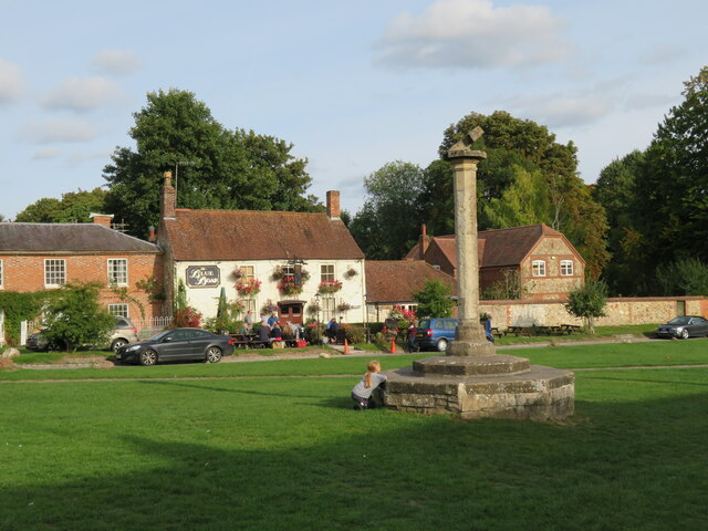
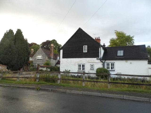
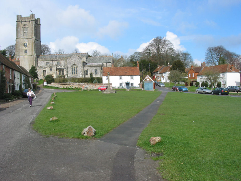
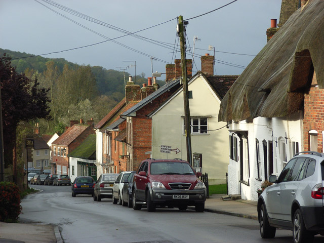
Aldbourne is a picturesque village located in the county of Wiltshire, England. Situated on the edge of the Marlborough Downs, it is nestled amidst rolling hills and lush green countryside, offering a peaceful and idyllic setting.

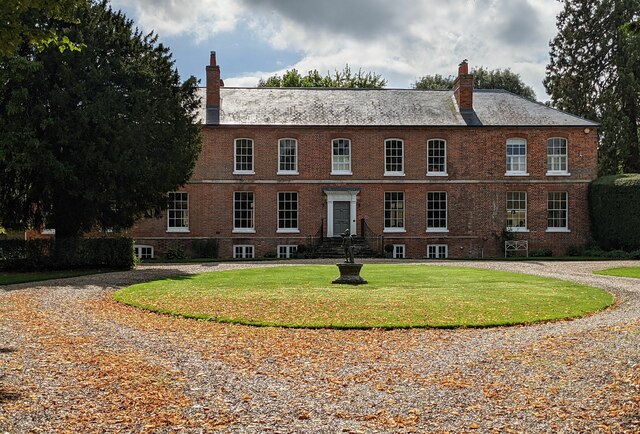
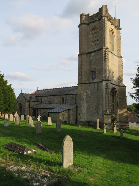
With a population of around 2,000, Aldbourne boasts a rich history dating back to Roman times. The village is home to several historic buildings, including the Church of St. Michael, a Grade I listed structure that dates back to the 12th century. The church features stunning architectural details and is renowned for its beautiful stained glass windows.

Aldbourne is also known for its strong sense of community and vibrant local life. The village has a range of amenities, including a primary school, a post office, a village hall, and a selection of shops and pubs. The annual Aldbourne Carnival is a highlight of the village's calendar, attracting visitors from near and far with its colorful procession, live music, and various entertainment activities.

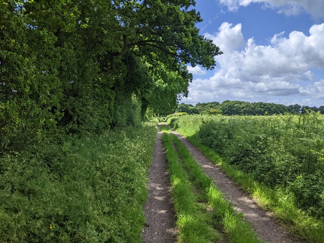
Nature enthusiasts will appreciate the surrounding countryside, which offers ample opportunities for walking, cycling, and exploring. The nearby Ramsbury Estate and Savernake Forest are popular destinations for outdoor activities and provide a haven for wildlife.

Overall, Aldbourne offers a charming and welcoming environment for residents and visitors alike, combining its rich heritage with the beauty of the Wiltshire countryside.

If you have any feedback on the listing, please let us know in the comments section below.
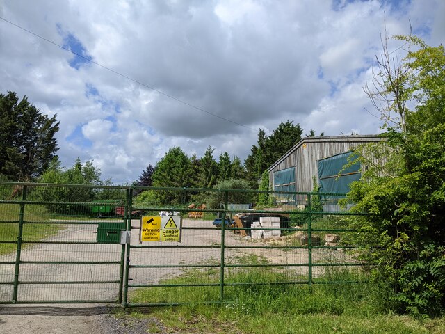
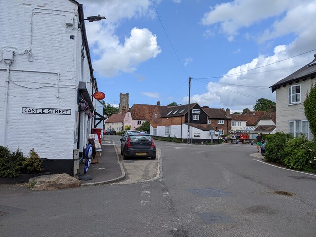
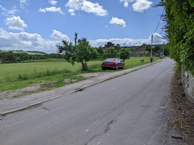
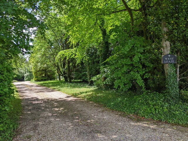
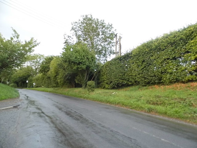
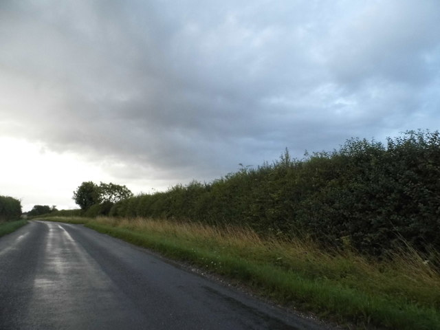
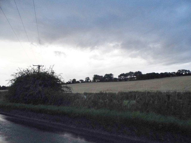
Aldbourne Images

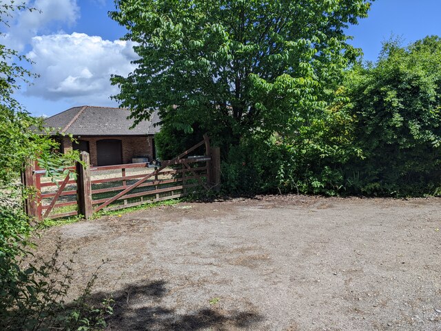
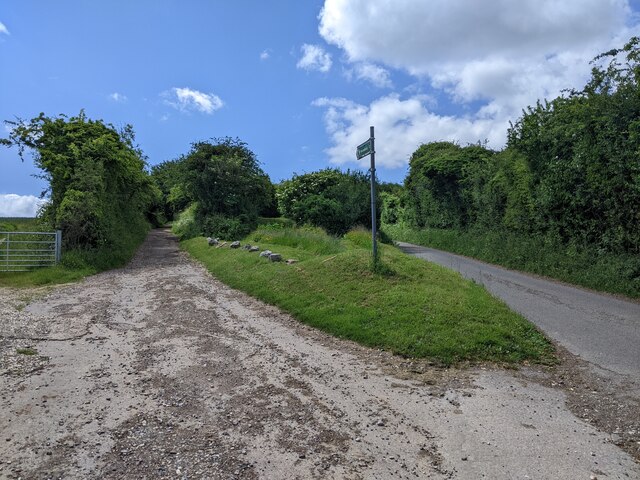
Images are sourced within 2km of 51.478794/-1.620995 or Grid Reference SU2675. Thanks to Geograph Open Source API. All images are credited.

The Old Manor, Aldbourne The Old Manor, formerly the Old Rectory
Grade II listed - <span class="nowrap"><a title="https://historicengland.org.uk/listing/the-list/list-entry/1034167" rel="nofollow ugc noopener" href="https://historicengland.org.uk/listing/the-list/list-entry/1034167">Link</a><img style="margin-left:2px;" alt="External link" title="External link - shift click to open in new window" src="https://s1.geograph.org.uk/img/external.png" width="10" height="10"/></span>
The Old Manor, Aldbourne
The Old Manor, formerly the Old Rectory Grade II listed - LinkExternal link
House on Ewin's Hill
Junction of lane and by-way
By-way heading south
Industrial building south of Aldbourne
At the end of Castle Street, Aldbourne
Southward Lane, Aldbourne, looking south
A resting place on the hill climbing west out of Aldbourne
Driveway to West Leaze
Village Green, Aldbourne Pleasant open space with an old village cross, the base being medieval, whilst the column is 18thC. Grade II listed.
Village Green, Aldbourne
Pleasant open space with an old village cross, the base being medieval, whilst the column is 18thC. Grade II listed.
St Michael's Church, Aldbourne A large and splendid church with a stone tower and much flint work in the walls. Much of the church dates from the 13thC and its size reflects the importance and wealth of the village in medieval times.
St Michael's Church, Aldbourne
A large and splendid church with a stone tower and much flint work in the walls. Much of the church dates from the 13thC and its size reflects the importance and wealth of the village in medieval times.
Aldbourne, the old Fire Station This could easily be mistaken for a domestic garage, although there is a date stone of 1867 above the door. This was once the fire station, and two ancient fire engines that might once have been housed here are now inside the nearby church.
Aldbourne, the old Fire Station
This could easily be mistaken for a domestic garage, although there is a date stone of 1867 above the door. This was once the fire station, and two ancient fire engines that might once have been housed here are now inside the nearby church.
Little Acre farm entrance on Stock Lane
Cottages in Aldbourne
Oxford Street, Aldbourne
Aldbourne Road north of Aldbourne
Field by the B4192, Preston
Show me another place!

Aldbourne is located at Grid Ref: SU2675 (Lat: 51.478794, Lng: -1.620995)

Unitary Authority: Wiltshire

Police Authority: Wiltshire

What 3 Words

///soon.prospers.avoiding. Near Aldbourne, Wiltshire

Nearby Locations

Aldbourne

Related Wikis

Nearby Amenities

Located within 500m of 51.478794,-1.620995
Aldbourne
Place: village
Source: NPE
Lat/Long: 51.4800064/-1.6197755
Post Office
Aldbourne Post Office
Addr City: Marlborough
Addr Housenumber: 13
Addr Postcode: SN8 2DU
Addr Street: The Square
Addr Village: Aldbourne
Ref Pol Id: 7642
Source: survey
Source Ref Pol Id: pol_branch_list_2018-02
Lat/Long: 51.4787317/-1.6211835
Toilets
Fee: no
Lat/Long: 51.4792108/-1.6207445
Post Box
Brand: Royal Mail
Brand Wikidata: Q638098
Brand Wikipedia: en:Royal Mail
Collection Times: Mo-Fr 16:15; Sa 10:30; Su off
Drive Through: no
Fixme: Couldn't read ref on second collection plate
Operator: Royal Mail
Operator Wikidata: Q638098
Post Box Apertures: 2
Post Box Type: pillar
Postal Code: SN8
Ref: SN8 100
Royal Cypher: EIIR
Royal Cypher Wikidata: Q33102113
Source: survey
Lat/Long: 51.4787652/-1.6211437
Pub
The Crown
Wikidata: Q26285686
Lat/Long: 51.47927/-1.62044
Pub
The Blue Boar
Wikidata: Q26647118
Lat/Long: 51.4803492/-1.6204345
Mini Roundabout
Lat/Long: 51.4777998/-1.6178718
Library
Lat/Long: 51.4794487/-1.6192648
Fast Food
The Aldbourne Kitchen
Addr City: Marlborough
Addr Housenumber: 6a
Addr Postcode: SN8 2DU
Addr Street: The Square
Addr Suburb: Aldbourne
Cuisine: chinese;thai
Drive Through: no
Opening Hours: Su 13:00-21:00; Mo-Th 13:00-21:00; Fr 12:30-21:30; Sa 12:30-21:30
Phone: +44 1672 541303
Lat/Long: 51.478966/-1.6206368
Cafe
Lat/Long: 51.4787168/-1.6211735
Gallery Hair Studio
Shop: hairdresser
Lat/Long: 51.4790909/-1.6204926
West Street Motors
Service: repair
Shop: car_repair
Lat/Long: 51.4794103/-1.6211813
Kindergarten
Lat/Long: 51.480461/-1.6222542
Kindergarten
Lat/Long: 51.4792983/-1.6229037
Waste Basket
Tardis
Artwork Type: sculpture
Lat/Long: 51.4793475/-1.6202585
Co-op Food
Addr City: Marlborough
Addr Housenumber: 6
Addr Postcode: SN8 2DQ
Addr Street: Oxford Street
Addr Suburb: Aldbourne
Brand: Co-op Food
Brand Wikidata: Q3277439
Brand Wikipedia: en:Co-op Food
Operator: The Co-operative Group
Operator Wikidata: Q117202
Shop: supermarket
Website: https://www.coop.co.uk/store-finder/SN8-2DQ/6-oxford-street
Lat/Long: 51.4797709/-1.6188808
The Butts
Place: neighbourhood
Lat/Long: 51.4754366/-1.619839
Power: pole
Lat/Long: 51.4804625/-1.6165459
Power: pole
Lat/Long: 51.4797659/-1.6160363
Power: pole
Lat/Long: 51.4790409/-1.6155481
Power: pole
Lat/Long: 51.4783093/-1.6150492
Power: pole
Lat/Long: 51.4775609/-1.6145235
Power: pole
Lat/Long: 51.4813111/-1.6151217
Power: pole
Lat/Long: 51.4808417/-1.6159532
Historic: memorial
Memorial: war_memorial
Lat/Long: 51.4799313/-1.6186917
Bus Stop
Claridge Close
Bench: no
Bin: no
Bus: yes
Lit: no
Naptan AtcoCode: 4600WIA13205
Naptan Indicator: SE-bound
Naptan NaptanCode: wildmwta
Naptan Street: South Street
Public Transport: platform
Shelter: no
Tactile Paving: no
Lat/Long: 51.4774325/-1.6175121
Bus Stop
Claridge Close
Bench: no
Bin: no
Bus: yes
Naptan AtcoCode: 4600WIA13203
Naptan Indicator: NW-bound
Naptan NaptanCode: wildmwtd
Naptan Street: South Street
Public Transport: platform
Shelter: no
Lat/Long: 51.4772165/-1.6174419
Bus Stop
The Pond
Bench: yes
Bin: yes
Bus: yes
Lit: no
Naptan AtcoCode: 4600WIA13206
Naptan Indicator: NE-bound
Naptan NaptanCode: wildmwmw
Naptan Street: Oxford Street
Public Transport: platform
Roof Material: thatch
Shelter: yes
Tactile Paving: no
Lat/Long: 51.4790306/-1.6199032
Bus Stop
The Pond
Bench: yes
Bin: no
Bus: yes
Lit: no
Naptan AtcoCode: 4600WIA13207
Naptan Indicator: SE-bound
Naptan NaptanCode: wildmwpa
Naptan Street: Oxford Street
Public Transport: platform
Shelter: no
Tactile Paving: no
Lat/Long: 51.4789677/-1.619544
Post Box
Brand: Royal Mail
Brand Wikidata: Q638098
Brand Wikipedia: en:Royal Mail
Operator: Royal Mail
Operator Wikidata: Q638098
Post Box Type: lamp
Ref: SN8 140
Lat/Long: 51.4761192/-1.6182129
Post Box
Brand: Royal Mail
Brand Wikidata: Q638098
Brand Wikipedia: en:Royal Mail
Operator: Royal Mail
Operator Wikidata: Q638098
Post Box Type: lamp
Ref: SN8 159
Lat/Long: 51.4782756/-1.624721
Waste Basket
dalek
Artwork Type: sculpture
Lat/Long: 51.4792265/-1.6205045
Power: pole
Lat/Long: 51.4745764/-1.6215517
Power: pole
Lat/Long: 51.4757056/-1.6212446
Power: pole
Lat/Long: 51.4749629/-1.617241
Power: pole
Lat/Long: 51.4758146/-1.6187777
Cafe
Time at the Forge
Addr City: Aldbourne
Addr Housename: Time At The Forge
Addr Housenumber: 1
Addr Postcode: SN8 2DW
Addr Street: South Street
Cuisine: tea_shop;coffee
Outdoor Seating: yes
Phone: +44 7483 802979
Website: http://timeattheforge.co.uk/
Lat/Long: 51.4794301/-1.6192081
Bus Stop
Allotments
Bus: yes
Naptan AtcoCode: 4600WIA13216
Naptan Bearing: NE
Naptan BusStopType: CUS
Naptan CommonName: Allotments
Naptan Indicator: NE-bound
Naptan NaptanCode: wildmwpw
Naptan Street: Oxford Street
Naptan Verified: no
Public Transport: platform
Source: naptan;bing;naptan_compare_tool
Lat/Long: 51.4806391/-1.6179542
Bus Stop
Allotments
Bus: yes
Naptan AtcoCode: 4600WIA13217
Naptan Bearing: SW
Naptan BusStopType: CUS
Naptan CommonName: Allotmets
Naptan Indicator: SW-bound
Naptan NaptanCode: wildmwtg
Naptan Street: Oxford Street
Naptan Verified: no
Public Transport: platform
Source: naptan;bing;naptan_compare_tool
Lat/Long: 51.4806555/-1.6177871
Entrance: main
Lat/Long: 51.4806635/-1.6214025
The data included in this document is from www.openstreetmap.org. The data is made available under ODbL.

Have you been to Aldbourne?

Leave your review of Aldbourne below (or comments, questions and feedback).