Ynus-tawelog
Settlement in Glamorgan
Wales
Ynus-tawelog
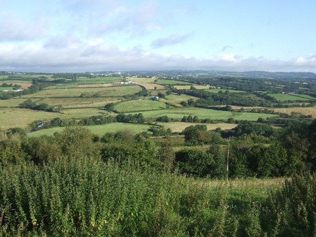
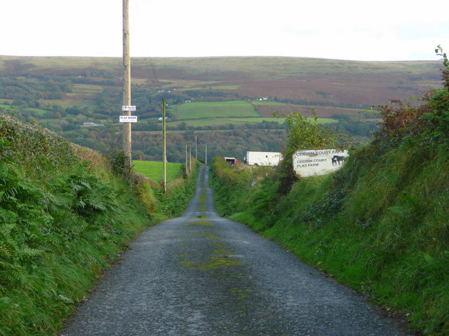
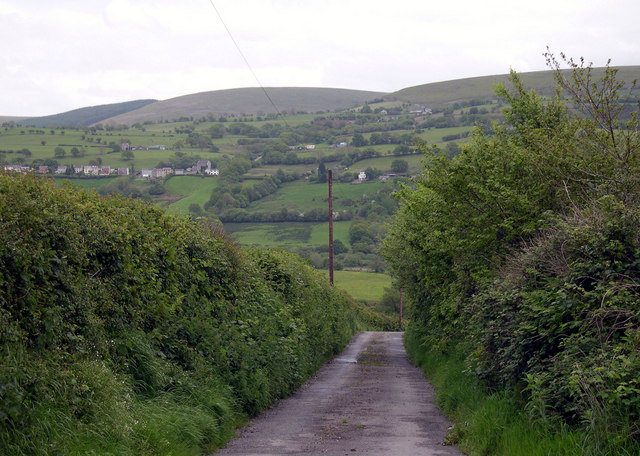
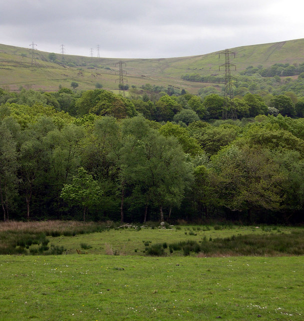
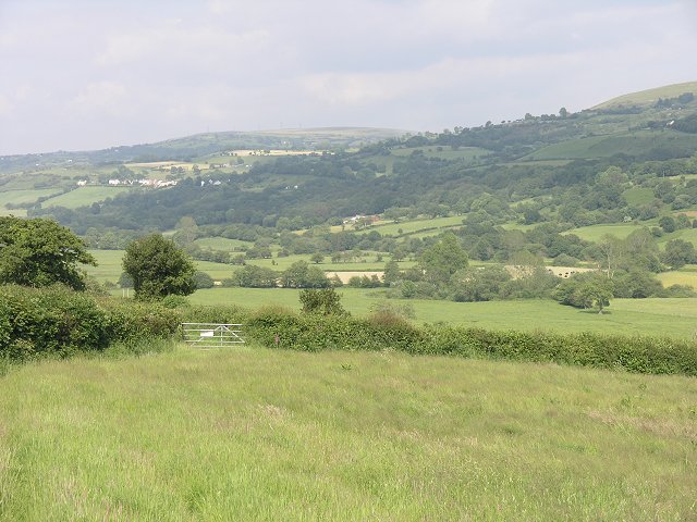
Ynus-tawelog is a small village located in the county of Glamorgan, in the southern part of Wales. Situated near the coast, it falls within the picturesque Vale of Glamorgan, known for its stunning natural beauty and rich history. The village is nestled amidst rolling hills, offering breathtaking views of the surrounding countryside.
With a population of approximately 500 residents, Ynus-tawelog is a close-knit community that prides itself on its friendly and welcoming atmosphere. The village is known for its strong sense of community spirit, with various events and activities organized throughout the year to bring residents together.
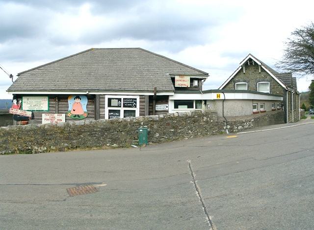
Ynus-tawelog boasts a range of amenities to cater to the needs of its residents. The village has a primary school, providing education to local children, and a small local shop that offers essential groceries and supplies. Additionally, there are several pubs and restaurants in the area, where both locals and visitors can enjoy traditional Welsh cuisine and hospitality.
Nature enthusiasts will find plenty to explore in and around Ynus-tawelog. The village is surrounded by beautiful countryside, offering opportunities for hiking, cycling, and other outdoor activities. The nearby coastline provides sandy beaches and rugged cliffs, perfect for seaside walks and water sports.
Overall, Ynus-tawelog is a charming village that offers a peaceful and idyllic lifestyle. Its stunning natural surroundings, strong community spirit, and range of amenities make it an attractive place to live or visit for those seeking a tranquil escape in the heart of Glamorgan.
If you have any feedback on the listing, please let us know in the comments section below.
Ynus-tawelog Images
Images are sourced within 2km of 51.762628/-4.0010594 or Grid Reference SN6209. Thanks to Geograph Open Source API. All images are credited.


Ynus-tawelog is located at Grid Ref: SN6209 (Lat: 51.762628, Lng: -4.0010594)
Unitary Authority: Swansea
Police Authority: South Wales
What 3 Words
///landlords.gown.tone. Near Tycroes, Carmarthenshire
Nearby Locations
Related Wikis

Garnswllt
Garnswllt () is a rural village in the City and County of Swansea, Wales falling within the Mawr ward. It lies in the far north of Swansea near the border...
Amman Valley Railway
The Amman Valley Railway Society (Welsh: Rheilffordd Dyffryn Aman) is situated near the former Gwaun Cae Gurwen branch line, that runs alongside the River...

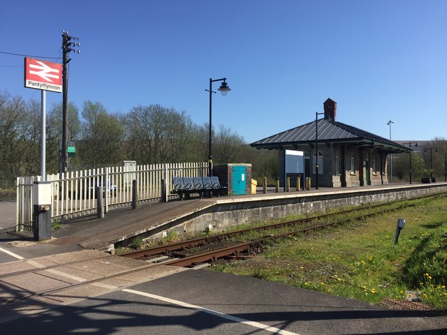
Pantyffynnon railway station
Pantyffynnon railway station is a railway station serving the village of Pantyffynnon, in Carmarthenshire, Wales. It is situated on the Heart of Wales...

River Amman
The River Amman (Welsh: Afon Aman) is a river of south Wales, which joins the River Loughor at Pantyffynnon. The source of the Amman is on the Black Mountain...
Nearby Amenities
Located within 500m of 51.762628,-4.0010594Have you been to Ynus-tawelog?
Leave your review of Ynus-tawelog below (or comments, questions and feedback).