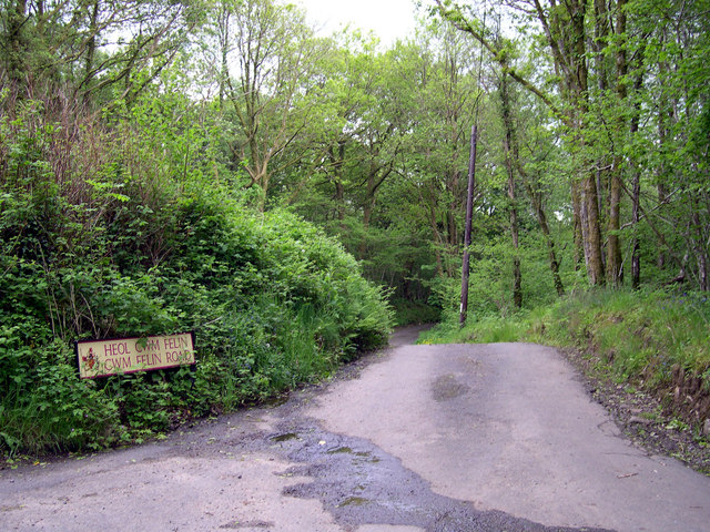
Lon y Felin

Settlement in Glamorgan

Wales

Lon y Felin

Ordnance Survey Cut Mark This OS cut mark can be found on the wall north side of Tycroes Road. It marks a point 45.223m above mean sea level.
Ordnance Survey Cut Mark Credit: Adrian Dust

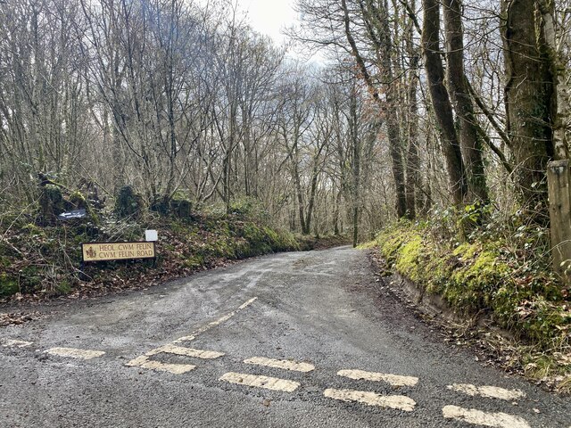
Lon y Felin is a small hamlet located in the county of Glamorgan, Wales. Situated in the southern part of the country, it is nestled amidst picturesque rolling hills and lush green countryside. The name "Lon y Felin" translates to "Mill Lane" in English, indicating the historical significance of the area.

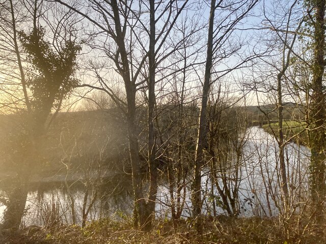
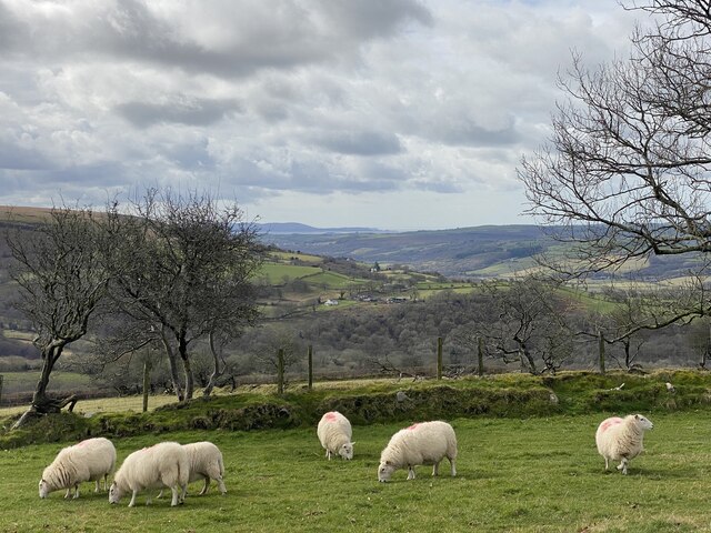
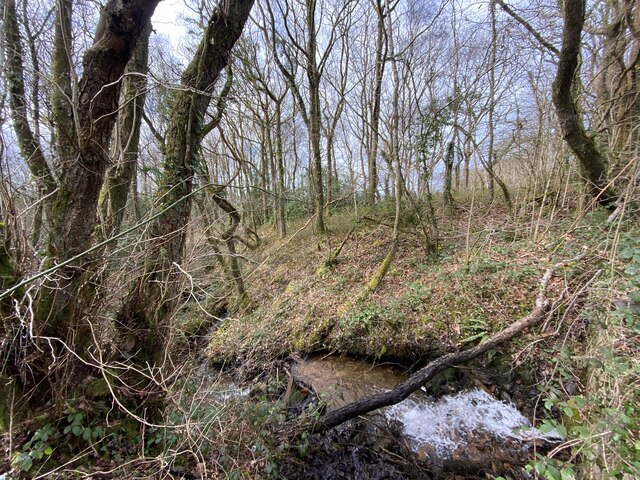
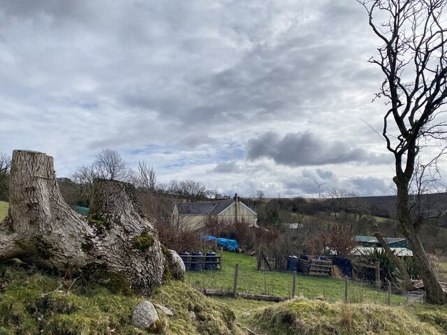
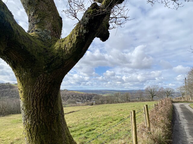
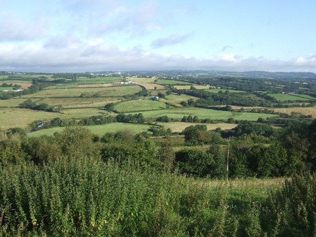
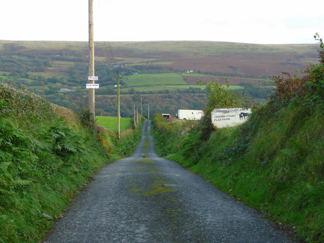
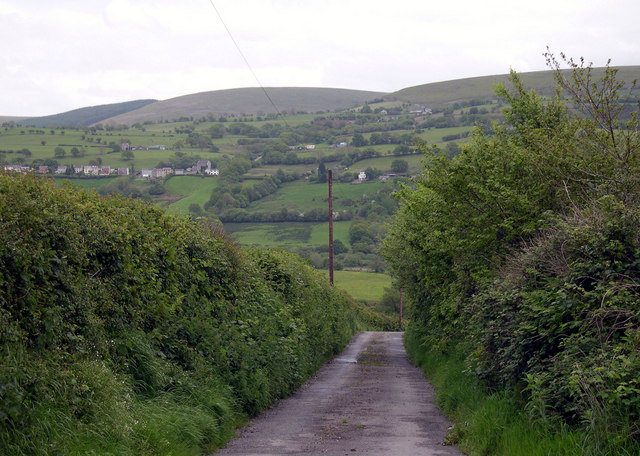
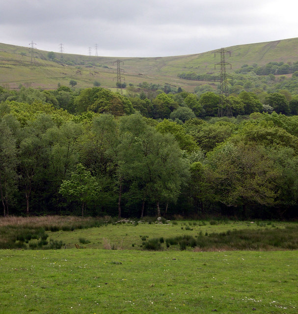
The hamlet is characterized by its tranquil and rural atmosphere. It boasts a small population, mainly comprising of locals who appreciate the peacefulness and natural beauty that Lon y Felin offers. The landscape surrounding the hamlet is dotted with farms and fields, contributing to its idyllic charm.

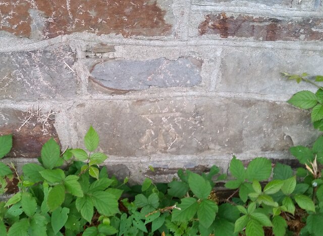
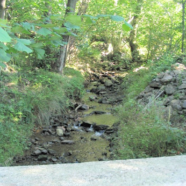
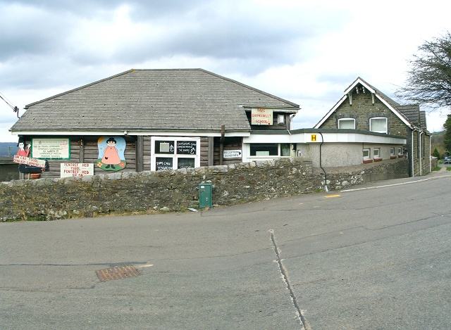
Lon y Felin is well-known for its rich history. The presence of a mill in the past suggests that the hamlet played a role in the local agricultural economy. Although the mill is no longer operational, its remnants serve as a reminder of the area's heritage.

Despite its small size, Lon y Felin enjoys convenient access to nearby towns and amenities. The town of Llantrisant is a short distance away, offering a range of services including shops, schools, and healthcare facilities.

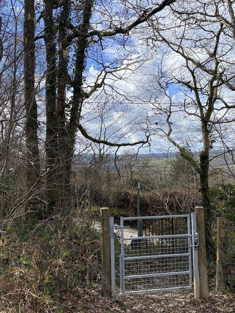
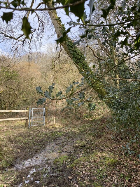
For those seeking outdoor activities, Lon y Felin provides ample opportunities. The surrounding countryside offers scenic walking trails, allowing residents and visitors to explore the natural beauty of the area. Additionally, the nearby Taff Ely Ridgeway Walk provides stunning views of the Glamorgan landscape.

In conclusion, Lon y Felin is a charming hamlet in Glamorgan, Wales, offering a peaceful and rural lifestyle. With its rich history and picturesque surroundings, it is a place that attracts those seeking a tranquil retreat amidst the beauty of the Welsh countryside.

If you have any feedback on the listing, please let us know in the comments section below.

Lon y Felin Images

Images are sourced within 2km of 51.771059/-3.9901413 or Grid Reference SN6209. Thanks to Geograph Open Source API. All images are credited.

Ordnance Survey Cut Mark This OS cut mark can be found on the wall north side of Tycroes Road. It marks a point 45.223m above mean sea level.
Ordnance Survey Cut Mark
This OS cut mark can be found on the wall north side of Tycroes Road. It marks a point 45.223m above mean sea level.
Footpath gate
Footpath gate
Woodland footpath Towards Pen yr Heol.
Woodland footpath
Towards Pen yr Heol.
Sharp bend in Afon Llwchwr The river is also the County boundary: Carmarthenshire lies across the river from Swansea.
Sharp bend in Afon Llwchwr
The river is also the County boundary: Carmarthenshire lies across the river from Swansea.
Sheep grazing above Nant y Cadno A tributary of Afon Aman on the western slopes of the Black Mountain, Brecon Beacons.  In the distance is the North Gower peninsula with Whiteford Point jutting out into the Loughor Estuary.
Sheep grazing above Nant y Cadno
A tributary of Afon Aman on the western slopes of the Black Mountain, Brecon Beacons. In the distance is the North Gower peninsula with Whiteford Point jutting out into the Loughor Estuary.
Nant y Cadno
Nant y Cadno
Farm buildings at Blaenant Cadno
A timely warning
A timely warning
Heol Cwm Felin Road junction above Cwm Cathan and the mill.
Heol Cwm Felin
Road junction above Cwm Cathan and the mill.
Un, dau … tree! A tree with three large limbs beside the lane towards Ty-côch.
Un, dau … tree!
A tree with three large limbs beside the lane towards Ty-côch.
Sewage Works for Ammanford The sewage works has been built just down river from the town, across the border in the next borough. Let the county of Swansea deal with it.
Sewage Works for Ammanford
The sewage works has been built just down river from the town, across the border in the next borough. Let the county of Swansea deal with it.
Mountain Stream on the road from Garnswllt to Pontardulais This is the view upstream from the road bridge.
Mountain Stream on the road from Garnswllt to Pontardulais
This is the view upstream from the road bridge.
Garnswllt School The school (and the whole village) is covered in "save our school" slogans. Garnswllt is a small community on the distant edge of the City & County of Swansea and the school is probably facing closure.
Garnswllt School
The school (and the whole village) is covered in "save our school" slogans. Garnswllt is a small community on the distant edge of the City & County of Swansea and the school is probably facing closure.
Loughor valley Taken from the Garnswllt-Pontarddulais road one morning. The river can be seen meandering in the middle distance, with the line of the railway a little closer. Plas Uchaf is the building on the far side of the valley, above and to the left of centre. Tycroes is in the far distance.
Loughor valley
Taken from the Garnswllt-Pontarddulais road one morning. The river can be seen meandering in the middle distance, with the line of the railway a little closer. Plas Uchaf is the building on the far side of the valley, above and to the left of centre. Tycroes is in the far distance.
Road to Plas Farm and Plas Mawr A straight road downhill to two farms in the Loughor valley.
Beyond is the ridge of Pen y Cwar (286m).
Road to Plas Farm and Plas Mawr
A straight road downhill to two farms in the Loughor valley. Beyond is the ridge of Pen y Cwar (286m).
Road to Plas Mawr from Plas Uchaf
Pylon march to Pentwyn Mawr Pylons track between Pen-y-Cwar and Pentwyn Mawr.
Pylon march to Pentwyn Mawr
Pylons track between Pen-y-Cwar and Pentwyn Mawr.
Heol Cwmfelin
Heol Cwmfelin
Show me another place!

Lon y Felin is located at Grid Ref: SN6209 (Lat: 51.771059, Lng: -3.9901413)

Unitary Authority: Swansea

Police Authority: South Wales

What 3 Words

///excusing.everyone.witless. Near Tycroes, Carmarthenshire

Related Wikis

Garnswllt

Garnswllt () is a rural village in the City and County of Swansea, Wales falling within the Mawr ward. It lies in the far north of Swansea near the border...

Amman Valley Railway

The Amman Valley Railway Society (Welsh: Rheilffordd Dyffryn Aman) is situated near the former Gwaun Cae Gurwen branch line, that runs alongside the River...

Pantyffynnon railway station

Pantyffynnon railway station is a railway station serving the village of Pantyffynnon, in Carmarthenshire, Wales. It is situated on the Heart of Wales...

River Amman

The River Amman (Welsh: Afon Aman) is a river of south Wales, which joins the River Loughor at Pantyffynnon. The source of the Amman is on the Black Mountain...

Nearby Amenities

Located within 500m of 51.771059,-3.9901413
Bus Stop
Dol-y-Garn
Naptan AtcoCode: 5810AWG60366
Naptan Bearing: NE
Naptan CommonName: Dol-y-Garn
Naptan NaptanCode: swagajd
Naptan Street: Heol y Garn
Naptan Verified: no
Source: naptan_import
Lat/Long: 51.768741/-3.9913601
Power: tower
Lat/Long: 51.7705025/-3.9934556
Power: tower
Lat/Long: 51.7705622/-3.9847438
Power: tower
Lat/Long: 51.7701639/-3.9892713
Post Box
Collection Times: Mo-Fr 16:00; Sa 11:45
Post Box Type: lamp
Ref: SA18 190
Royal Cypher: EIIR
Royal Cypher Wikidata: Q33102113
Lat/Long: 51.7718633/-3.9924002
Direction: 195
Generator Method: photovoltaic
Generator Output Electricity: yes
Generator Solar Modules: 10
Generator Source: solar
Generator Type: solar_photovoltaic_panel
Location: roof
Power: generator
Lat/Long: 51.7722508/-3.9924279
Direction: 195
Generator Method: photovoltaic
Generator Output Electricity: yes
Generator Solar Modules: 12
Generator Source: solar
Generator Type: solar_photovoltaic_panel
Location: roof
Power: generator
Lat/Long: 51.7727832/-3.9935377
Direction: SE
Generator Method: photovoltaic
Generator Output Electricity: yes
Generator Solar Modules: 21
Generator Source: solar
Generator Type: solar_photovoltaic_panel
Location: roof
Power: generator
Lat/Long: 51.7743262/-3.9908132
The data included in this document is from www.openstreetmap.org. The data is made available under ODbL.

Have you been to Lon y Felin?

Leave your review of Lon y Felin below (or comments, questions and feedback).