Brèbhig

Settlement in Ross-shire

Scotland

Brèbhig

Drochaid Ghriais Tidal mouth of the Abhainn Ghriais burn above the footbridge at Traigh Ghriais.
Drochaid Ghriais Credit: Colin Smith

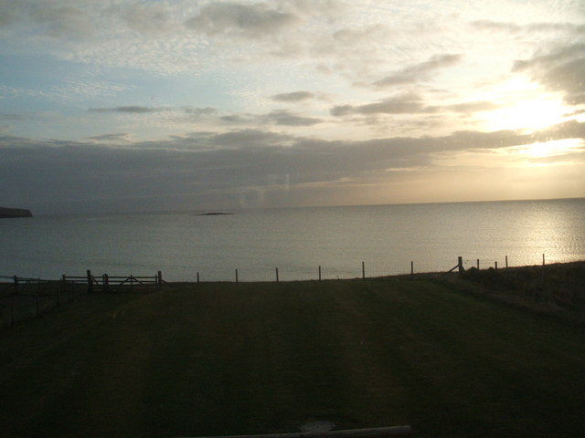
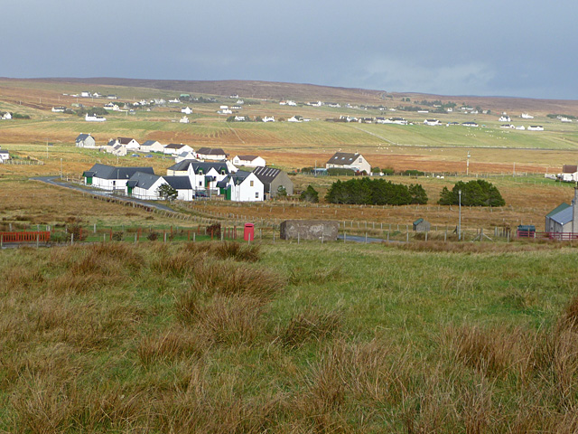
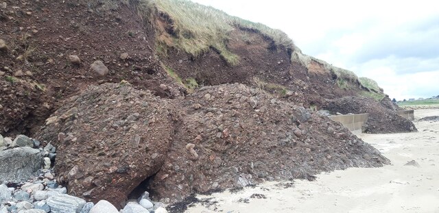
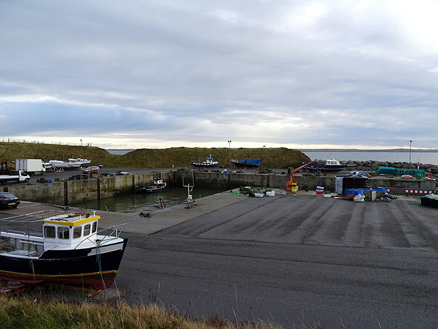
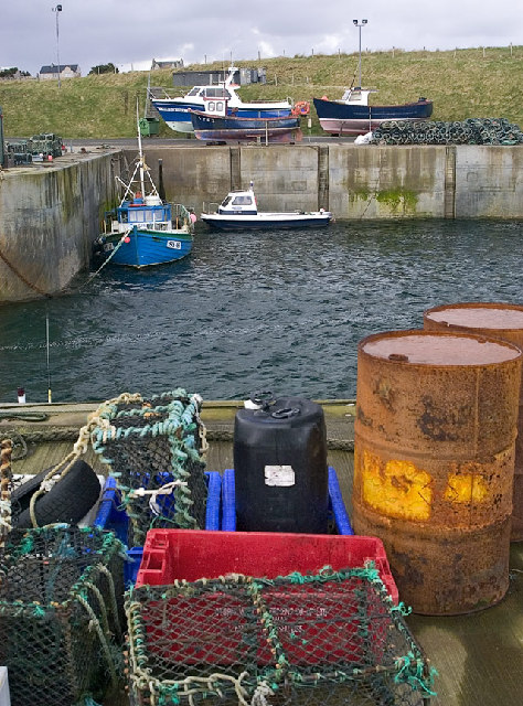
Brèbhig, also known as Brora, is a small coastal village located in the county of Ross-shire, Scotland. Situated on the eastern shore of the country, Brèbhig is nestled amidst picturesque landscapes, boasting stunning views of the North Sea and the surrounding countryside.

The village is renowned for its rich history, dating back to the medieval era. Its name, Brora, is derived from the Gaelic word "bruthach" meaning "steep slope," which aptly describes the terrain in the area. Brèbhig was initially a fishing village, with its economy primarily dependent on the abundant marine resources of the North Sea.

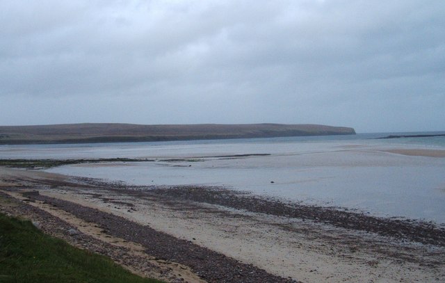
Today, Brèbhig is a popular tourist destination, attracting visitors with its unspoiled natural beauty and charming atmosphere. The village's sandy beach is a major highlight, offering opportunities for leisurely walks, sunbathing, and even water sports during the summer months.

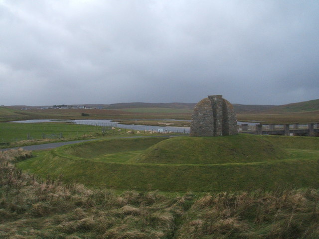
In addition to its natural attractions, Brèbhig is home to several historical sites. The Brora Heritage Centre provides an insight into the village's past, showcasing artifacts and exhibits related to its fishing and industrial heritage. The Clynelish Distillery, situated on the outskirts of the village, is another notable landmark. Whisky enthusiasts can explore the distillery and learn about the traditional methods used in its production.

Brèbhig also offers a range of amenities to cater to both locals and visitors. It has a selection of shops, cafes, and restaurants, providing a taste of local cuisine and hospitality. The village hosts various events and festivals throughout the year, including the Brora Highland Games, which attracts participants and spectators from far and wide.

Overall, Brèbhig is a delightful destination for nature lovers, history enthusiasts, and those seeking a tranquil escape in the beautiful Scottish countryside.

If you have any feedback on the listing, please let us know in the comments section below.
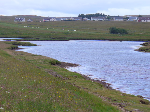
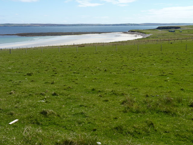
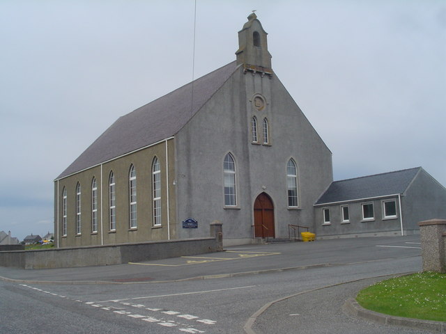
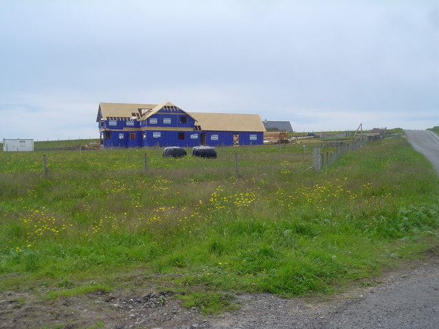
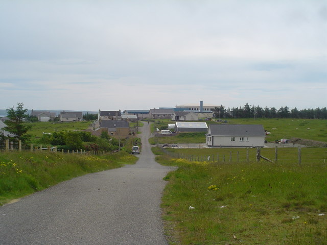
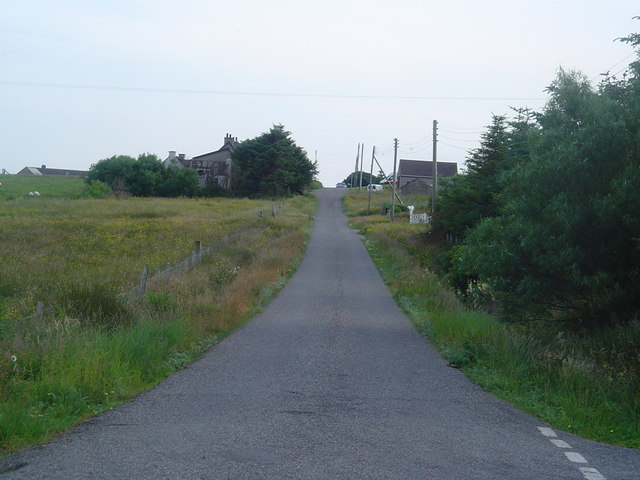
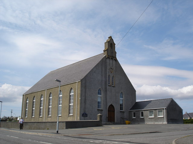
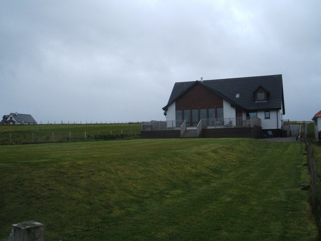
Brèbhig Images

Images are sourced within 2km of 58.269937/-6.2956277 or Grid Reference NB4839. Thanks to Geograph Open Source API. All images are credited.

Drochaid Ghriais Tidal mouth of the Abhainn Ghriais burn above the footbridge at Traigh Ghriais.
Drochaid Ghriais
Tidal mouth of the Abhainn Ghriais burn above the footbridge at Traigh Ghriais.
Grass beside the beach With the sunlit sands of Tràigh Rèbac in the distance.
Grass beside the beach
With the sunlit sands of Tràigh Rèbac in the distance.
Back Free Church The Free Church of Scotland own this church. It is the largest church in the Broad Bay area.
Back Free Church
The Free Church of Scotland own this church. It is the largest church in the Broad Bay area.
New Home east of B895 This large new house is being constructed on a croft between the B895 and Broad Bay. This area has only recently been built upon and several houses are being built at the moment. The cheap land prices in the islands mean that more money is left to build larger houses.
New Home east of B895
This large new house is being constructed on a croft between the B895 and Broad Bay. This area has only recently been built upon and several houses are being built at the moment. The cheap land prices in the islands mean that more money is left to build larger houses.
Back School Road A view looking along Back School Road towards the school. The school is a combined Primary and S1-S2 school with around 200 pupils.
Back School Road
A view looking along Back School Road towards the school. The school is a combined Primary and S1-S2 school with around 200 pupils.
Outend Coll Village Road and Houses The narrow single track road which loops round the village of Outend Coll.
Outend Coll Village Road and Houses
The narrow single track road which loops round the village of Outend Coll.
Free Church of Scotland - Back church A very large building, but it is very well supported. They have made a CD of unaccompanied psalm singing called 'Salm', the proceeds going to a local hospice. It is worth buying if you can't go to the Western Isles to take part in a live service on a Sabbath. I can't guarantee it will be to everyone's taste!!
Free Church of Scotland - Back church
A very large building, but it is very well supported. They have made a CD of unaccompanied psalm singing called 'Salm', the proceeds going to a local hospice. It is worth buying if you can't go to the Western Isles to take part in a live service on a Sabbath. I can't guarantee it will be to everyone's taste!!
Broad Bay House Seriously good accommodation... 5 star
Broad Bay House
Seriously good accommodation... 5 star
Traigh Ghriais
Traigh Ghriais
Memorial to the Coll and Griais Land Raiders
Morning view from Broad Bay House, Bac, Lewis
Telephone box in Bac Viewed from the road by Cnoc an t-Solais.
Telephone box in Bac
Viewed from the road by Cnoc an t-Solais.
Conglomerate cliff and sea defences at Tràigh Chuil
The Quay at Breibhig
Coll Pottery Craft Centre Behind this unpromising exterior, a variety of craft products on sale and a small cafe.
Coll Pottery Craft Centre
Behind this unpromising exterior, a variety of craft products on sale and a small cafe.
B895 through Coll The road to Tolsta.
B895 through Coll
The road to Tolsta.
Breibhig Harbour This little harbour at Breibhig was built to provide shelter for fishermen on this part of the coast which has few natural harbours.
Breibhig Harbour
This little harbour at Breibhig was built to provide shelter for fishermen on this part of the coast which has few natural harbours.
Back Pharmacy This pharmacy serves a large number of people in the Broad Bay area. It is an essential service, particularly for elderly and disabled people who have difficulty travelling to Stornoway to get to a chemist.
Back Pharmacy
This pharmacy serves a large number of people in the Broad Bay area. It is an essential service, particularly for elderly and disabled people who have difficulty travelling to Stornoway to get to a chemist.
Show me another place!

Brèbhig is located at Grid Ref: NB4839 (Lat: 58.269937, Lng: -6.2956277)

Unitary Authority: Na h-Eileanan an Iar

Police Authority: Highlands and Islands

Also known as: Breivig

What 3 Words

///trespass.quietly.cooking. Near Stornoway, Na h-Eileanan Siar

Related Wikis

Breivig

Breivig (Scottish Gaelic: Brèibhig) is a village on Lewis in the Outer Hebrides, Scotland. Breivig is within the parish of Stornoway.According to Magne...
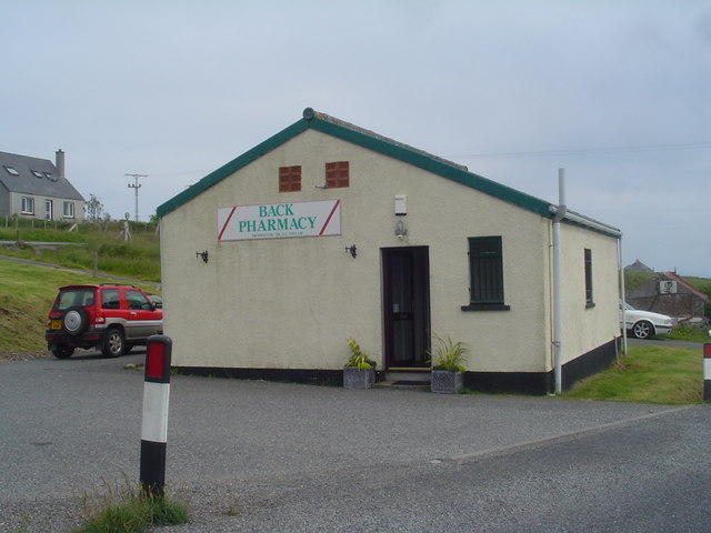
Back, Lewis

Back (Scottish Gaelic: Am Bac) is a district and a village on the east coast of the Isle of Lewis in the Outer Hebrides, Scotland, situated on a coastal...

Coll, Lewis

Coll (Scottish Gaelic: Col) is a farming settlement near Stornoway, on the Isle of Lewis in the Outer Hebrides, Scotland. Coll is situated on the B895...

Gress

Gress (Scottish Gaelic: Griais), a hamlet on the Isle of Lewis in Scotland, is adjacent to the larger village of Back. Gress is within the parish of Stornoway...

Broad Bay, Lewis

Broad Bay (Scottish Gaelic: Loch a Tuath, meaning "north loch") is a bay which is situated on the coast of Isle of Lewis, and separates Back and Point...

Tong, Lewis

Tong (; Scottish Gaelic: Tunga) is a village on the Isle of Lewis, Scotland, 4 miles (6 kilometres) northeast of the main town of Stornoway on the B895...
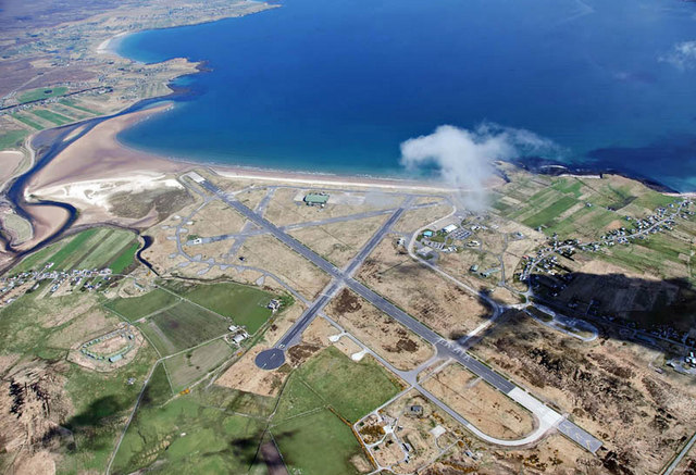
RAF Stornoway

Royal Air Force Stornoway or more simply RAF Stornoway is a former Royal Air Force station near the burgh of Stornoway, on the Isle of Lewis, in the Western...

Steinish

Steinish (Scottish Gaelic: Steinnis, IPA:[ˈʃtʰʲeɲɪʃ]) is a village in the Scottish Outer Hebrides, on the Isle of Lewis, near Plasterfield and Stornoway...

Nearby Amenities

Located within 500m of 58.269937,-6.2956277
Created By: dmgroom_coastlines
Lat/Long: 58.26723/-6.30121
Passing Place
Lat/Long: 58.273062/-6.2967554
Barrier: cattle_grid
Source: survey
Lat/Long: 58.268259/-6.295027
Passing Place
Lat/Long: 58.2680118/-6.2949602
Passing Place
Lat/Long: 58.2724585/-6.2994716
Passing Place
Lat/Long: 58.268938/-6.3030388
Passing Place
Lat/Long: 58.2693795/-6.2993464
Historic: memorial
Source: survey
Lat/Long: 58.2678117/-6.2944172
Bus Stop
Back
Bench: no
Bin: no
Lit: no
Naptan AtcoCode: 6010731524
Naptan Bearing: S
Naptan BusStopType: CUS
Naptan CommonName: Back
Naptan Indicator: Vatisker
Naptan Landmark: junction with pier road
Naptan NaptanCode: 94723943
Naptan Street: Vatisker
Naptan Verified: no
Shelter: no
Source: naptan_import
Tactile Paving: no
Lat/Long: 58.269862/-6.2956515
Bhatasgeir
Name En: Vatisker
Name Gd: Bhatasgeir
Place: hamlet
Lat/Long: 58.2739585/-6.2929117
Brèibhig
Name En: Breivig
Name Gd: Brèibhig
Place: hamlet
Lat/Long: 58.2698538/-6.2936923
Street Lamp
Lamp Type: floodlight
Lat/Long: 58.2672366/-6.2951781
Passing Place
Lat/Long: 58.2740477/-6.293379
Street Lamp
Lamp Type: floodlight
Lat/Long: 58.2679603/-6.2938906
Street Lamp
Lamp Type: floodlight
Lat/Long: 58.2679751/-6.293212
Street Lamp
Lamp Type: floodlight
Lat/Long: 58.2676866/-6.292693
Street Lamp
Lamp Type: floodlight
Lat/Long: 58.266977/-6.2936144
Street Lamp
Lamp Type: floodlight
Lat/Long: 58.2675836/-6.2944083
Street Lamp
Lamp Type: floodlight
Lat/Long: 58.2680365/-6.2944968
Street Lamp
Lamp Type: floodlight
Lat/Long: 58.2678707/-6.2948951
Street Lamp
Lamp Type: floodlight
Lat/Long: 58.2677981/-6.2950601
Street Lamp
Lamp Type: floodlight
Lat/Long: 58.2678453/-6.2956072
Street Lamp
Lamp Type: floodlight
Lat/Long: 58.2674539/-6.2957118
Street Lamp
Lamp Type: floodlight
Lat/Long: 58.2676782/-6.2962483
Cidhe Brèibhig
Harbour: yes
Name En: Breivig Harbour
Name Gd: Cidhe Brèibhig
Lat/Long: 58.2675844/-6.2935473
Passing Place
Lat/Long: 58.2694401/-6.2987374
Passing Place
Lat/Long: 58.2692038/-6.3008335
Power: pole
Lat/Long: 58.2712026/-6.2946081
Material: wood
Power: pole
Lat/Long: 58.270685/-6.2944324
Power: pole
Lat/Long: 58.2701927/-6.294246
Power: pole
Lat/Long: 58.2691982/-6.2939295
Power: pole
Lat/Long: 58.2686593/-6.2937659
Power: pole
Lat/Long: 58.2681825/-6.2935916
Power: pole
Lat/Long: 58.2740051/-6.2923548
Material: wood
Power: pole
Lat/Long: 58.2702366/-6.2956691
Power: pole
Lat/Long: 58.2703055/-6.2963846
Power: pole
Lat/Long: 58.2703806/-6.2972921
Power: pole
Lat/Long: 58.2709518/-6.2974584
Power: pole
Lat/Long: 58.271579/-6.2976481
Power: pole
Lat/Long: 58.2721686/-6.2978363
Power: pole
Lat/Long: 58.2727054/-6.2979922
Power: pole
Lat/Long: 58.2731364/-6.2981237
Power: pole
Lat/Long: 58.2739262/-6.2987237
Power: pole
Lat/Long: 58.2714562/-6.2966961
Power: pole
Lat/Long: 58.2713631/-6.2959307
Power: pole
Lat/Long: 58.2688199/-6.3038693
Power: pole
Lat/Long: 58.2688967/-6.3031819
Power: pole
Lat/Long: 58.2689678/-6.3025126
Power: pole
Lat/Long: 58.2690642/-6.301764
Power: pole
Lat/Long: 58.2691571/-6.3009783
Barrier: cattle_grid
Lat/Long: 58.2741482/-6.294718
Passing Place
Lat/Long: 58.2688678/-6.2952593
Power: pole
Lat/Long: 58.2696856/-6.2941065
Barrier: cattle_grid
Lat/Long: 58.2719093/-6.296878
Barrier: cattle_grid
Lat/Long: 58.2706137/-6.2961042
Barrier: cattle_grid
Lat/Long: 58.26972/-6.2975602
Historic: ruins
Lat/Long: 58.2690708/-6.3013388
Barrier: cattle_grid
Lat/Long: 58.2690608/-6.3027142
The data included in this document is from www.openstreetmap.org. The data is made available under ODbL.

Have you been to Brèbhig?

Leave your review of Brèbhig below (or comments, questions and feedback).