Currachd

Island in Ross-shire

Scotland

Currachd

Back Church (Free Church of Scotland) An active church.
Back Church (Free Church of Scotland) Credit: David Bremner

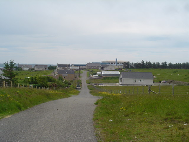
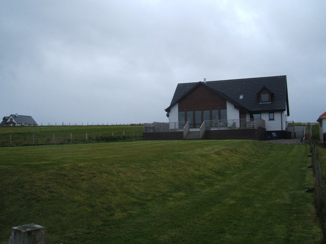
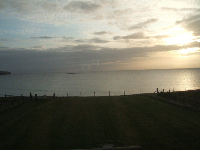
Currachd is a small island located off the coast of Ross-shire in the Scottish Highlands. With an area of approximately 2 square miles, it is nestled in the picturesque Inner Hebrides archipelago. The island is known for its rugged and unspoiled natural beauty, attracting visitors who seek tranquility and a connection with nature.

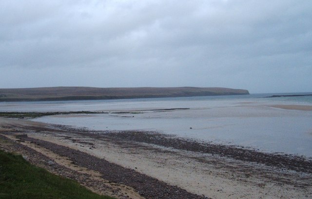
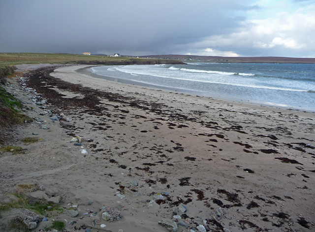
Currachd boasts a diverse landscape with rolling hills, rocky cliffs, and pristine sandy beaches. The island's coastline is indented with numerous coves and secluded bays, providing ample opportunities for beachcombing and exploring marine life. The crystal-clear waters surrounding the island are home to a rich variety of marine species, making it a popular destination for snorkeling and diving enthusiasts.

The island is also abundant in wildlife, providing a haven for birdwatchers and nature enthusiasts. Rare and migratory bird species can be spotted throughout the year, as well as seals and dolphins swimming along the coast. The island's interior is covered in heather moorland and scattered woodlands, offering scenic walking trails and a chance to encounter native wildlife such as red deer and Highland cattle.

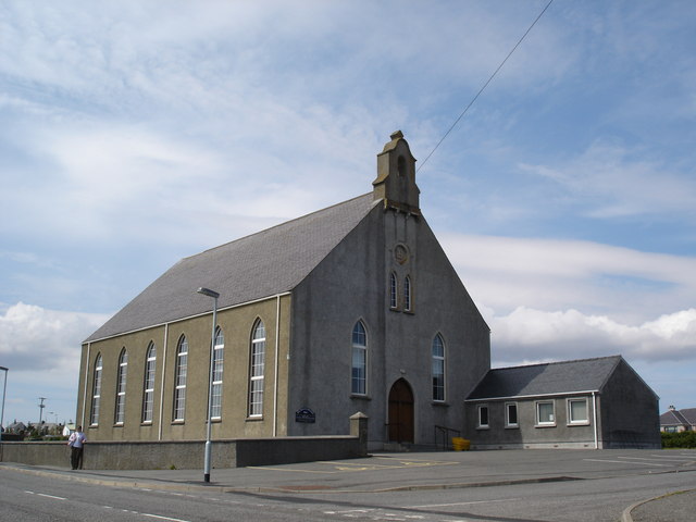
Despite its small size, Currachd has a rich history and cultural heritage. The island's ancient ruins, including standing stones and burial sites, are a testament to its early inhabitants. The local community takes pride in preserving their Gaelic language and traditions, which can be experienced through music, dance, and storytelling during cultural events and festivals.

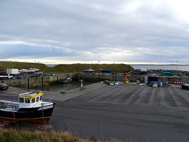
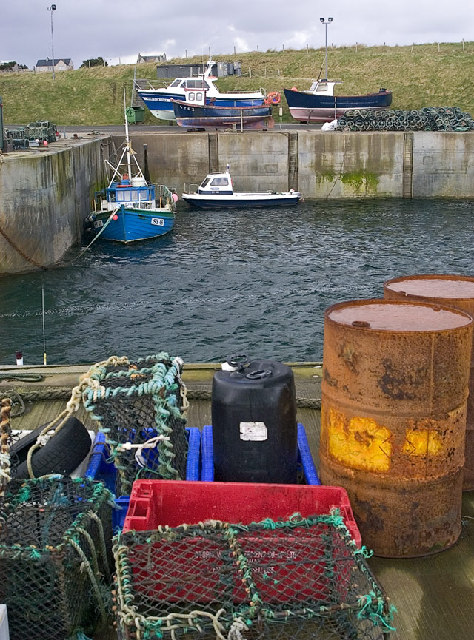
Accessible by boat from the nearby mainland, Currachd offers a peaceful and idyllic retreat for those seeking an escape from bustling city life. Its unspoiled natural environment and rich cultural heritage make it a hidden gem within the Scottish Highlands.

If you have any feedback on the listing, please let us know in the comments section below.
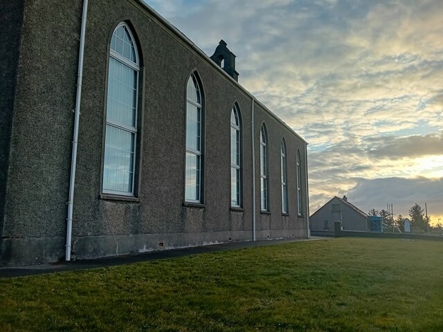
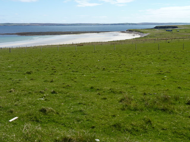
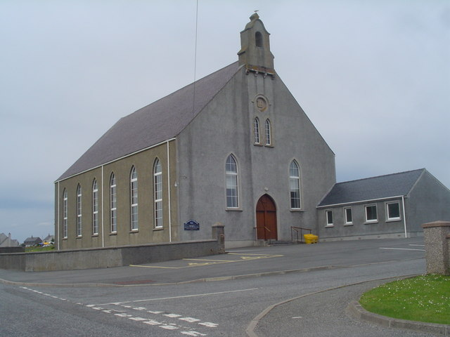
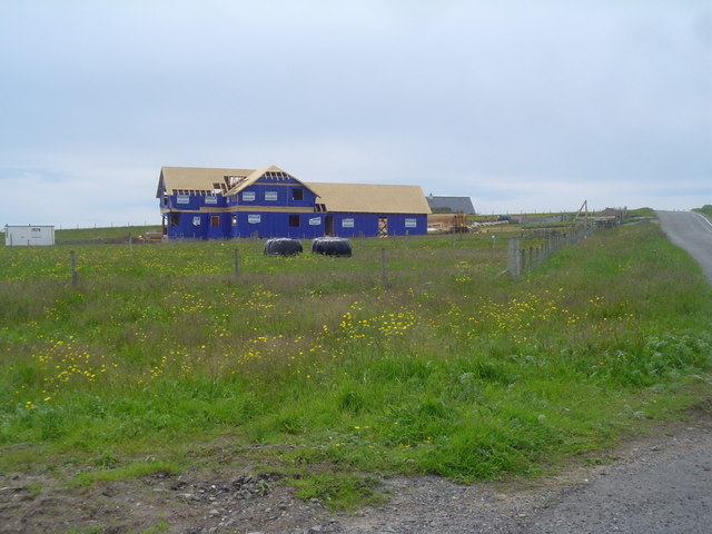
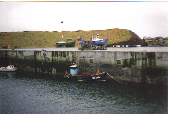
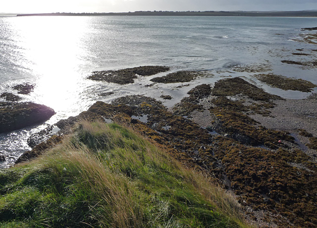
Currachd Images

Images are sourced within 2km of 58.267957/-6.2892609 or Grid Reference NB4839. Thanks to Geograph Open Source API. All images are credited.

Back Church (Free Church of Scotland) An active church.
Back Church (Free Church of Scotland)
An active church.
Grass beside the beach With the sunlit sands of Tràigh Rèbac in the distance.
Grass beside the beach
With the sunlit sands of Tràigh Rèbac in the distance.
Back Free Church The Free Church of Scotland own this church. It is the largest church in the Broad Bay area.
Back Free Church
The Free Church of Scotland own this church. It is the largest church in the Broad Bay area.
New Home east of B895 This large new house is being constructed on a croft between the B895 and Broad Bay. This area has only recently been built upon and several houses are being built at the moment. The cheap land prices in the islands mean that more money is left to build larger houses.
New Home east of B895
This large new house is being constructed on a croft between the B895 and Broad Bay. This area has only recently been built upon and several houses are being built at the moment. The cheap land prices in the islands mean that more money is left to build larger houses.
Back School Road A view looking along Back School Road towards the school. The school is a combined Primary and S1-S2 school with around 200 pupils.
Back School Road
A view looking along Back School Road towards the school. The school is a combined Primary and S1-S2 school with around 200 pupils.
Free Church of Scotland - Back church A very large building, but it is very well supported. They have made a CD of unaccompanied psalm singing called 'Salm', the proceeds going to a local hospice. It is worth buying if you can't go to the Western Isles to take part in a live service on a Sabbath. I can't guarantee it will be to everyone's taste!!
Free Church of Scotland - Back church
A very large building, but it is very well supported. They have made a CD of unaccompanied psalm singing called 'Salm', the proceeds going to a local hospice. It is worth buying if you can't go to the Western Isles to take part in a live service on a Sabbath. I can't guarantee it will be to everyone's taste!!
Broad Bay House Seriously good accommodation... 5 star
Broad Bay House
Seriously good accommodation... 5 star
Traigh Ghriais
Traigh Ghriais
Morning view from Broad Bay House, Bac, Lewis
The Quay at Breibhig
Coll Pottery Craft Centre Behind this unpromising exterior, a variety of craft products on sale and a small cafe.
Coll Pottery Craft Centre
Behind this unpromising exterior, a variety of craft products on sale and a small cafe.
B895 through Coll The road to Tolsta.
B895 through Coll
The road to Tolsta.
Breibhig Harbour This little harbour at Breibhig was built to provide shelter for fishermen on this part of the coast which has few natural harbours.
Breibhig Harbour
This little harbour at Breibhig was built to provide shelter for fishermen on this part of the coast which has few natural harbours.
Back Pharmacy This pharmacy serves a large number of people in the Broad Bay area. It is an essential service, particularly for elderly and disabled people who have difficulty travelling to Stornoway to get to a chemist.
Back Pharmacy
This pharmacy serves a large number of people in the Broad Bay area. It is an essential service, particularly for elderly and disabled people who have difficulty travelling to Stornoway to get to a chemist.
Inner Coll The single track road which winds through the villages of Inner Coll and Vatisker.
Inner Coll
The single track road which winds through the villages of Inner Coll and Vatisker.
Brevig Harbour Hope SY160 A traditional wooden fishing boat fished the waters of Broadbay for many years.

SY are the registration letters for Stornoway
Brevig Harbour
Hope SY160 A traditional wooden fishing boat fished the waters of Broadbay for many years. SY are the registration letters for Stornoway
Coastline east of Brèibhig The picture fails to show how precarious the photographer's position is. Scrambling up from the beach I expected to be arriving on a wide expanse of grass at the top. Instead, I arrived at pace onto a knife-edge ridge with a vertical drop back to the beach on the other side. Heart stopping stuff.
Coastline east of Brèibhig
The picture fails to show how precarious the photographer's position is. Scrambling up from the beach I expected to be arriving on a wide expanse of grass at the top. Instead, I arrived at pace onto a knife-edge ridge with a vertical drop back to the beach on the other side. Heart stopping stuff.
Tràigh Rèbac The south end of the beach seen from Creag Mhòr Bhatasgeir.
Tràigh Rèbac
The south end of the beach seen from Creag Mhòr Bhatasgeir.
Show me another place!

Currachd is located at Grid Ref: NB4839 (Lat: 58.267957, Lng: -6.2892609)

Unitary Authority: Na h-Eileanan an Iar

Police Authority: Highlands and Islands

What 3 Words

///news.chest.backpacks. Near Stornoway, Na h-Eileanan Siar

Related Wikis

Breivig

Breivig (Scottish Gaelic: Brèibhig) is a village on Lewis in the Outer Hebrides, Scotland. Breivig is within the parish of Stornoway. According to Magne...
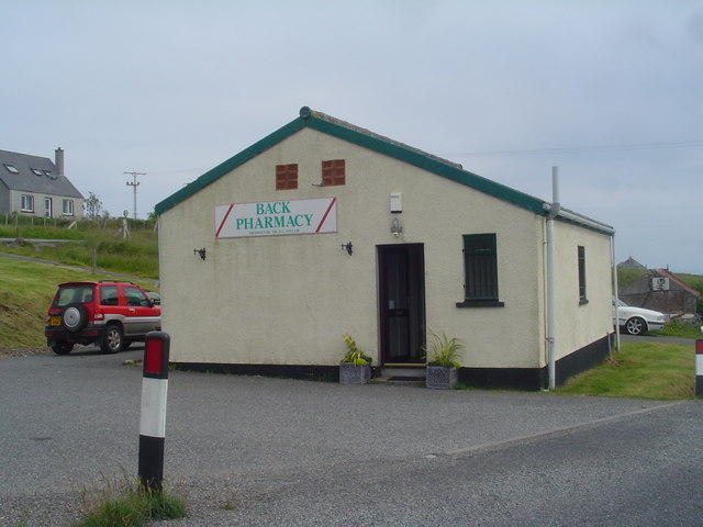
Back, Lewis

Back (Scottish Gaelic: Am Bac) is a district and a village on the east coast of the Isle of Lewis in the Outer Hebrides, Scotland, situated on a coastal...

Coll, Lewis

Coll (Scottish Gaelic: Col) is a farming settlement near Stornoway, on the Isle of Lewis in the Outer Hebrides, Scotland. Coll is situated on the B895...

Broad Bay, Lewis

Broad Bay (Scottish Gaelic: Loch a Tuath, meaning "north loch") is a bay which is situated on the coast of Isle of Lewis, and separates Back and Point...

Nearby Amenities

Located within 500m of 58.267957,-6.2892609
Barrier: cattle_grid
Source: survey
Lat/Long: 58.268259/-6.295027
Passing Place
Lat/Long: 58.2680118/-6.2949602
Historic: memorial
Source: survey
Lat/Long: 58.2678117/-6.2944172
Bus Stop
Back
Bench: no
Bin: no
Lit: no
Naptan AtcoCode: 6010731524
Naptan Bearing: S
Naptan BusStopType: CUS
Naptan CommonName: Back
Naptan Indicator: Vatisker
Naptan Landmark: junction with pier road
Naptan NaptanCode: 94723943
Naptan Street: Vatisker
Naptan Verified: no
Shelter: no
Source: naptan_import
Tactile Paving: no
Lat/Long: 58.269862/-6.2956515
Brèibhig
Name En: Breivig
Name Gd: Brèibhig
Place: hamlet
Lat/Long: 58.2698538/-6.2936923
Street Lamp
Lamp Type: floodlight
Lat/Long: 58.2672366/-6.2951781
Street Lamp
Lamp Type: floodlight
Lat/Long: 58.2679603/-6.2938906
Street Lamp
Lamp Type: floodlight
Lat/Long: 58.2679751/-6.293212
Street Lamp
Lamp Type: floodlight
Lat/Long: 58.2676866/-6.292693
Street Lamp
Lamp Type: floodlight
Lat/Long: 58.266977/-6.2936144
Street Lamp
Lamp Type: floodlight
Lat/Long: 58.2675836/-6.2944083
Street Lamp
Lamp Type: floodlight
Lat/Long: 58.2680365/-6.2944968
Street Lamp
Lamp Type: floodlight
Lat/Long: 58.2678707/-6.2948951
Street Lamp
Lamp Type: floodlight
Lat/Long: 58.2677981/-6.2950601
Street Lamp
Lamp Type: floodlight
Lat/Long: 58.2678453/-6.2956072
Street Lamp
Lamp Type: floodlight
Lat/Long: 58.2674539/-6.2957118
Street Lamp
Lamp Type: floodlight
Lat/Long: 58.2676782/-6.2962483
Cidhe Brèibhig
Harbour: yes
Name En: Breivig Harbour
Name Gd: Cidhe Brèibhig
Lat/Long: 58.2675844/-6.2935473
Power: pole
Lat/Long: 58.2712026/-6.2946081
Material: wood
Power: pole
Lat/Long: 58.270685/-6.2944324
Power: pole
Lat/Long: 58.2701927/-6.294246
Power: pole
Lat/Long: 58.2691982/-6.2939295
Power: pole
Lat/Long: 58.2686593/-6.2937659
Power: pole
Lat/Long: 58.2681825/-6.2935916
Material: wood
Power: pole
Lat/Long: 58.2702366/-6.2956691
Power: pole
Lat/Long: 58.2703055/-6.2963846
Passing Place
Lat/Long: 58.2688678/-6.2952593
Power: pole
Lat/Long: 58.2696856/-6.2941065
Barrier: cattle_grid
Lat/Long: 58.2706137/-6.2961042
The data included in this document is from www.openstreetmap.org. The data is made available under ODbL.

Have you been to Currachd?

Leave your review of Currachd below (or comments, questions and feedback).