Rubha Mhurchaidh
Coastal Feature, Headland, Point in Ross-shire
Scotland
Rubha Mhurchaidh
Rubha Mhurchaidh, located in Ross-shire, Scotland, is a prominent coastal feature known for its stunning headland and picturesque point. Situated on the northwest coast of the Highlands, it is characterized by its rugged landscape and breathtaking views of the surrounding sea and countryside.
The headland of Rubha Mhurchaidh juts out into the Atlantic Ocean, forming a dramatic cliff face that reaches heights of up to 200 meters (656 feet). The cliffs are composed of ancient sandstone and are adorned with lush vegetation, including heather, grasses, and wildflowers, creating a vibrant and colorful landscape.
At the tip of the headland lies the point of Rubha Mhurchaidh, which offers panoramic vistas of the sea and the nearby islands. The point is a popular spot for birdwatching, as it attracts a variety of seabirds, including gannets, fulmars, and puffins. The area is also home to a diverse marine ecosystem, with seals and dolphins frequently spotted in the waters.
Access to Rubha Mhurchaidh is relatively easy, with a well-maintained footpath leading visitors along the cliffs and down to the point. The path offers stunning views throughout the journey, making it a favorite destination for hikers and nature enthusiasts.
In addition to its natural beauty, Rubha Mhurchaidh is steeped in history and folklore. The area is believed to have been inhabited since ancient times, with archaeological remains suggesting human presence dating back thousands of years. Local legends and tales also add to the allure of Rubha Mhurchaidh, making it a place of intrigue and fascination for visitors.
If you have any feedback on the listing, please let us know in the comments section below.
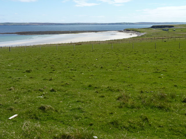
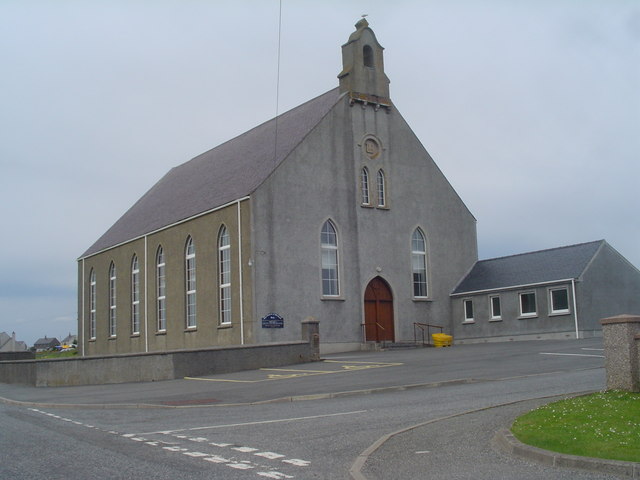
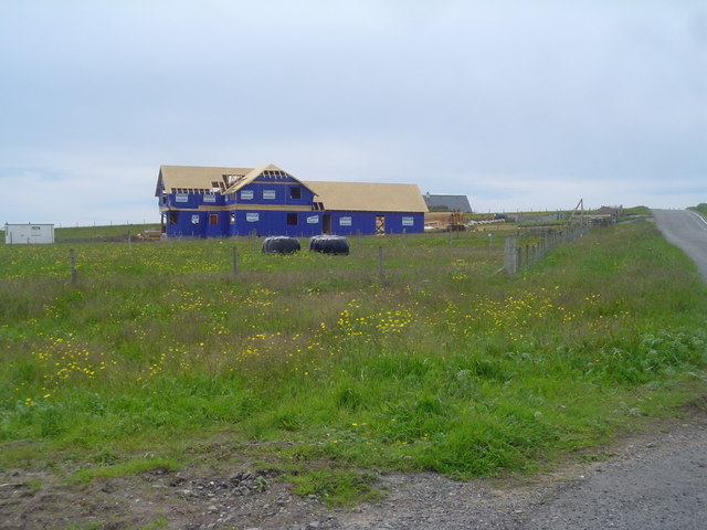
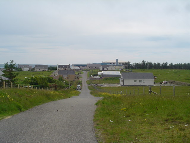
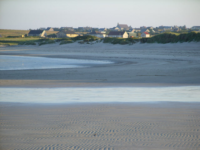
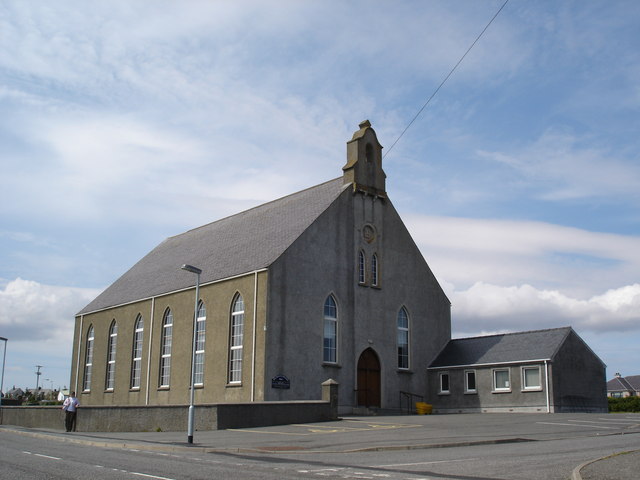
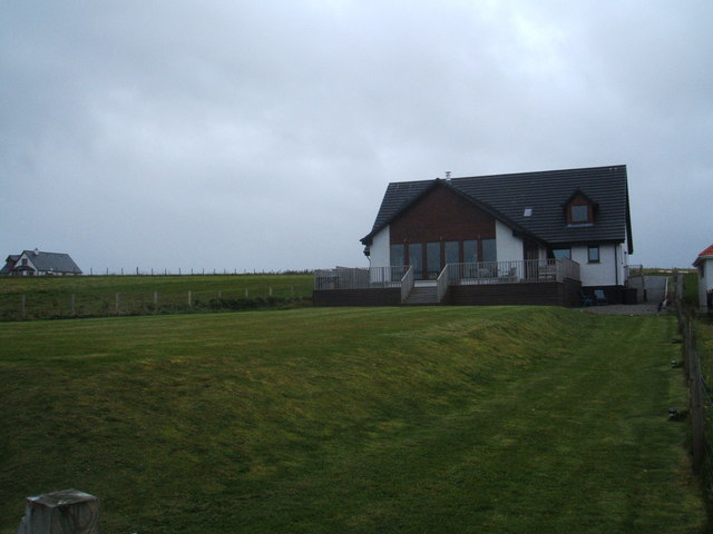
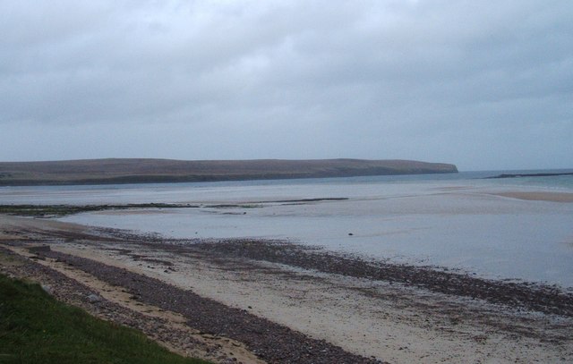
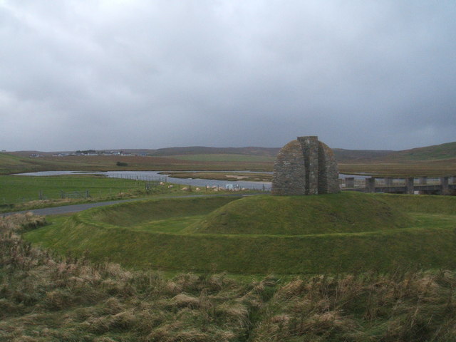
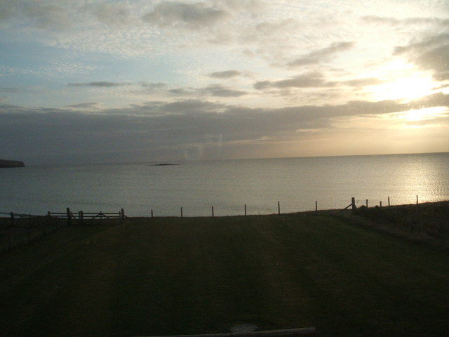
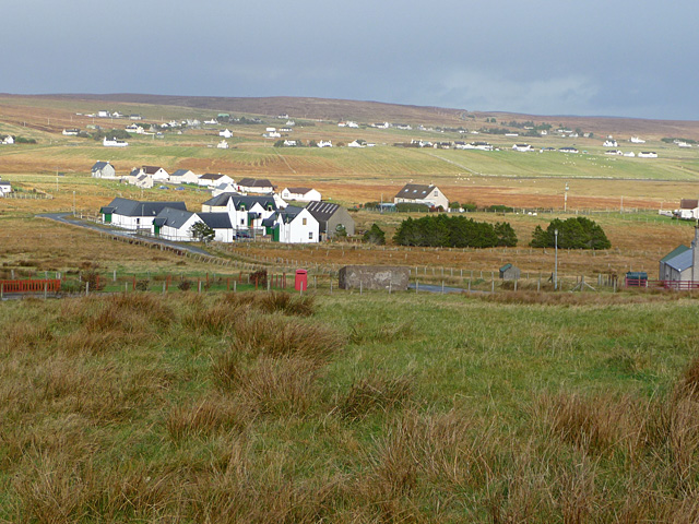
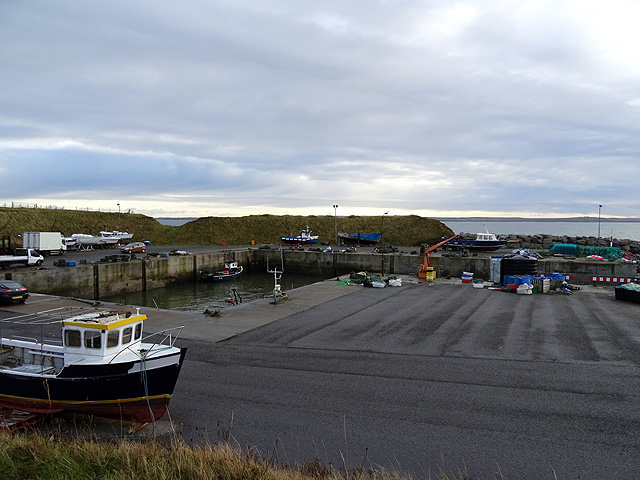
Rubha Mhurchaidh Images
Images are sourced within 2km of 58.268664/-6.2877762 or Grid Reference NB4839. Thanks to Geograph Open Source API. All images are credited.


Rubha Mhurchaidh is located at Grid Ref: NB4839 (Lat: 58.268664, Lng: -6.2877762)
Unitary Authority: Na h-Eileanan an Iar
Police Authority: Highlands and Islands
What 3 Words
///honey.relocated.square. Near Stornoway, Na h-Eileanan Siar
Nearby Locations
Related Wikis

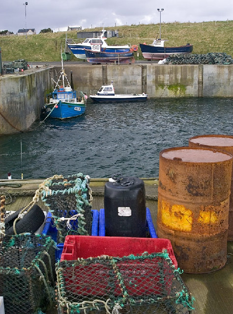
Breivig
Breivig (Scottish Gaelic: Brèibhig) is a village on Lewis in the Outer Hebrides, Scotland. Breivig is within the parish of Stornoway.According to Magne...

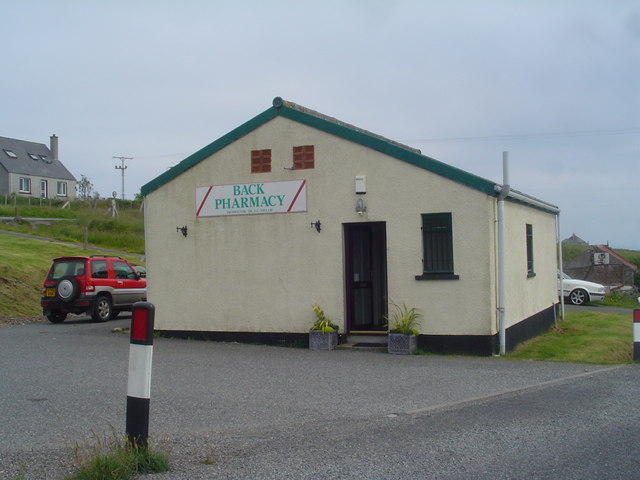
Back, Lewis
Back (Scottish Gaelic: Am Bac) is a district and a village on the east coast of the Isle of Lewis in the Outer Hebrides, Scotland, situated on a coastal...

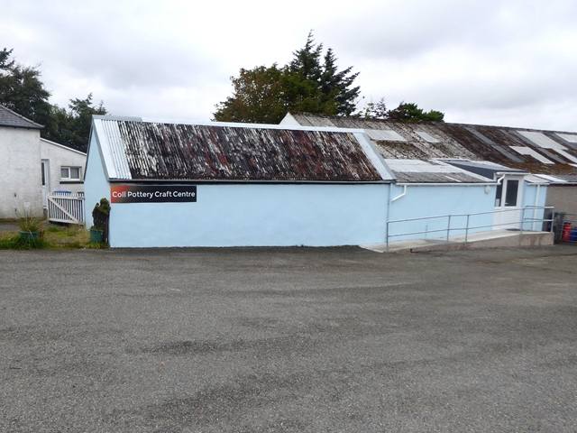
Coll, Lewis
Coll (Scottish Gaelic: Col) is a farming settlement near Stornoway, on the Isle of Lewis in the Outer Hebrides, Scotland. Coll is situated on the B895...

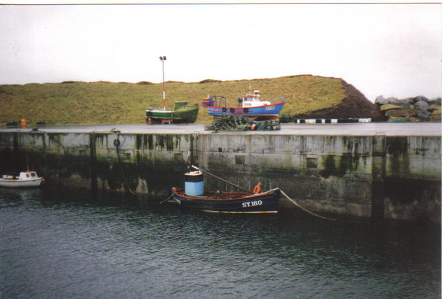
Broad Bay, Lewis
Broad Bay (Scottish Gaelic: Loch a Tuath, meaning "north loch") is a bay which is situated on the coast of Isle of Lewis, and separates Back and Point...
Nearby Amenities
Located within 500m of 58.268664,-6.2877762Have you been to Rubha Mhurchaidh?
Leave your review of Rubha Mhurchaidh below (or comments, questions and feedback).