Cnap a' Roin
Coastal Feature, Headland, Point in Inverness-shire
Scotland
Cnap a' Roin

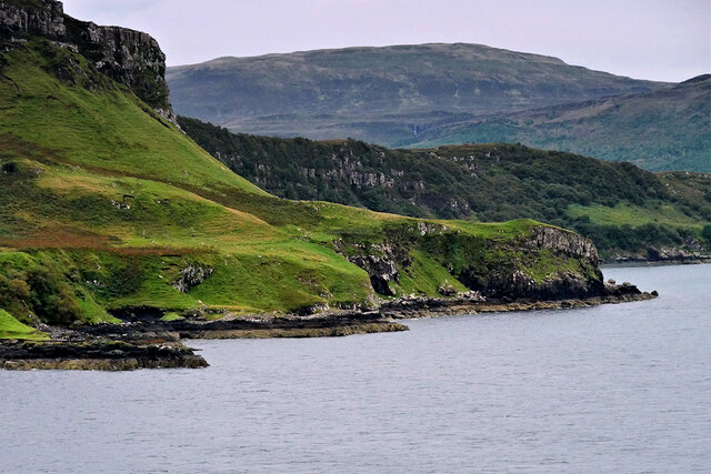
Cnap a' Roin is a prominent headland located in Inverness-shire, Scotland. Situated on the western coast of the country, this coastal feature stretches out into the North Atlantic Ocean, offering breathtaking views of the surrounding landscape.
The headland is characterized by its rugged and rocky terrain, with steep cliffs that drop dramatically into the sea below. These cliffs are composed of various geological formations, including layers of sedimentary rock that have been shaped by erosion over thousands of years. The exposed rock faces display a range of colors, from deep reds to shades of grey, providing a striking visual contrast against the vivid blues of the ocean.
At the tip of Cnap a' Roin, there is a small, narrow point that juts out into the water. This point is often referred to as a "stack" or a "needle" due to its slender and isolated appearance. It is a popular spot for birdwatching, as numerous seabirds nest along the cliffs and can be observed soaring above the waves.
The headland is also renowned for its historical significance. Ruins of ancient settlements can be found scattered across the landscape, serving as a reminder of the area's rich cultural heritage. The site attracts both history enthusiasts and nature lovers alike, offering a unique blend of stunning natural beauty and archaeological intrigue.
Overall, Cnap a' Roin stands as a captivating coastal feature, showcasing the rugged charm and natural wonders that make Inverness-shire such a popular destination for outdoor enthusiasts and tourists.
If you have any feedback on the listing, please let us know in the comments section below.
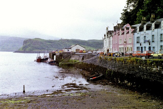
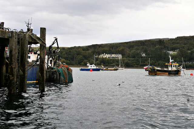
Cnap a' Roin Images
Images are sourced within 2km of 57.401149/-6.1861046 or Grid Reference NG4842. Thanks to Geograph Open Source API. All images are credited.


Cnap a' Roin is located at Grid Ref: NG4842 (Lat: 57.401149, Lng: -6.1861046)
Unitary Authority: Highland
Police Authority: Highlands and Islands
What 3 Words
///brownish.unclaimed.vibe. Near Portree, Highland
Nearby Locations
Related Wikis
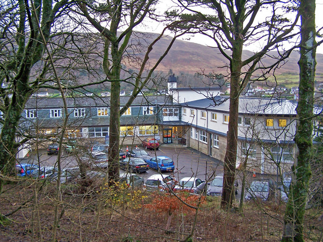
Portree Hospital
The Portree Hospital is a health facility in Fancyhill, Portree on the Isle of Skye. It is managed by NHS Highland. == History == The facility, which was...

ATLAS Arts
ATLAS Arts is a visual arts organisation dedicated to commissioning contemporary arts, culture, heritage, and education based in the Isle of Skye. It was...

Portree
Portree (; Scottish Gaelic: Port Rìgh, pronounced [pʰɔrˠʃt̪ˈɾiː]) is the largest town on, and capital of, the Isle of Skye in the Inner Hebrides of Scotland...
Radio Skye
Radio Skye is a local radio station which broadcasts from Portree to the Isle of Skye, as well as the region of Lochalsh, Wester Ross on the Scottish mainland...
Nearby Amenities
Located within 500m of 57.401149,-6.1861046Have you been to Cnap a' Roin?
Leave your review of Cnap a' Roin below (or comments, questions and feedback).