Wuerdle

Settlement in Lancashire

England

Wuerdle

Littleborough station: southbound departure Sprinter diesel unit 150150 leaves the station with the 10.03 to Headbolt Lane. This is a recently extended service, starting in Blackburn and going via Mancheser Victoria and Wigan, taking over 2 hours for the whole route.
Littleborough station: southbound departure Credit: Stephen Craven

Wuerdle is a small village located in Lancashire, England. Situated in the borough of Rossendale, it lies approximately 4 miles south of the town of Rawtenstall and is part of the larger Rossendale Valley.

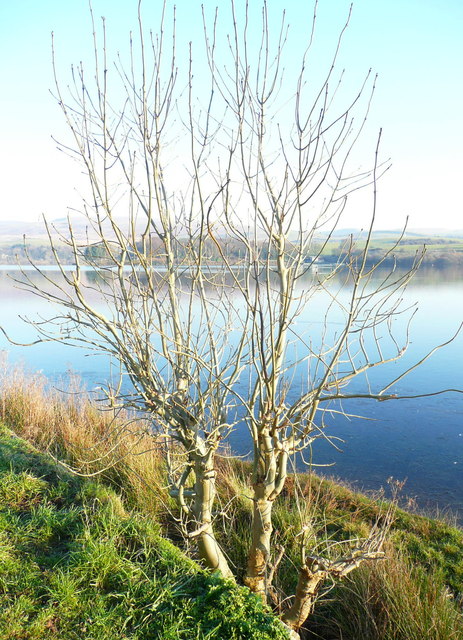
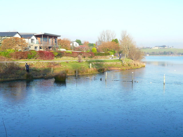
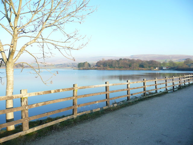
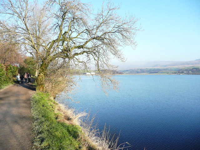
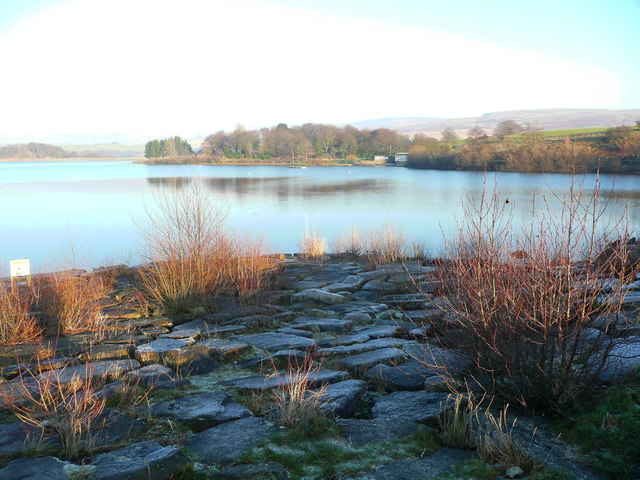
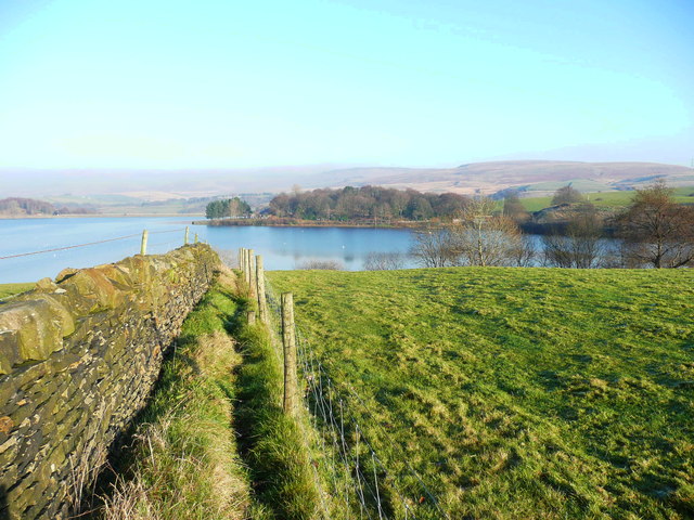
The village is known for its picturesque setting, surrounded by lush countryside and rolling hills. The River Irwell flows through the area, adding to its natural beauty. Wuerdle offers residents and visitors alike a peaceful and idyllic atmosphere, making it a popular destination for those seeking a tranquil retreat.

With a population of around 500 people, Wuerdle has a close-knit community that takes pride in maintaining its rural charm. The village features a number of historic buildings, including the St. Anne's Church, which dates back to the 18th century. The church serves as a focal point for local religious and community events.

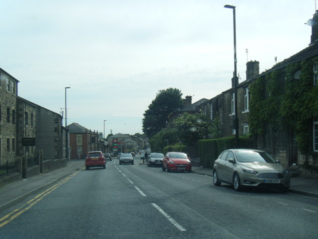
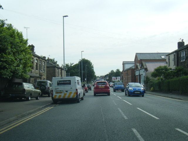
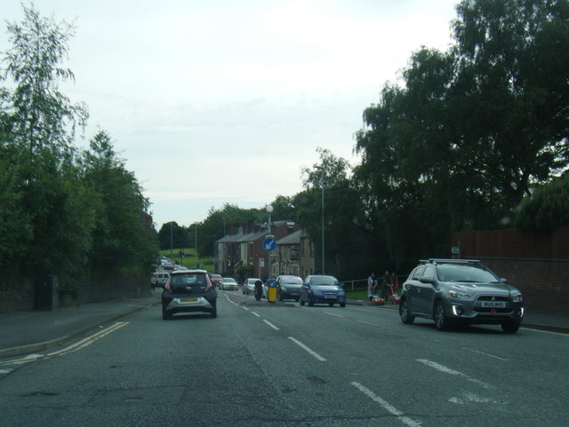
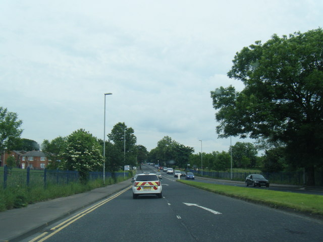
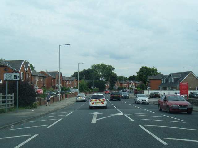
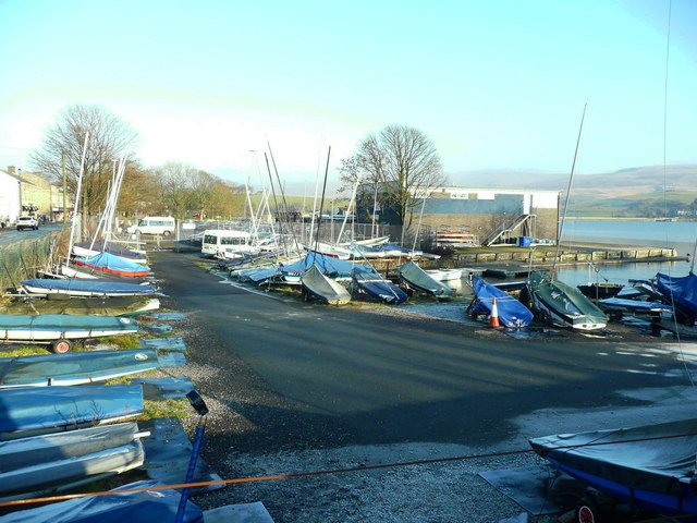
Despite its small size, Wuerdle benefits from its proximity to larger towns such as Rawtenstall, which provide essential amenities and services. The village is well-connected by road, with easy access to major routes, allowing residents to commute to nearby towns or cities for work or leisure activities.

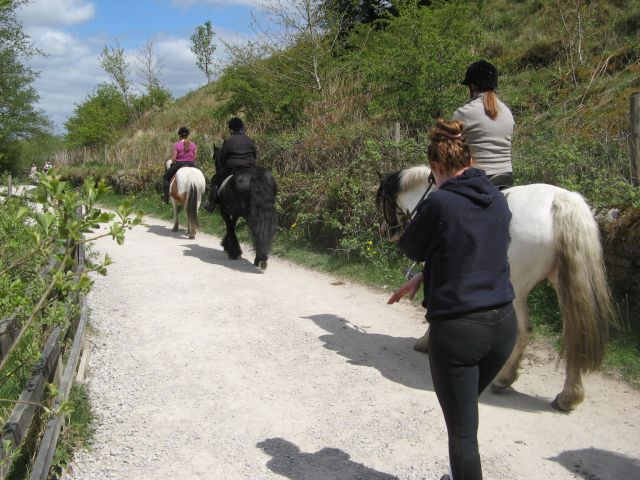
For nature enthusiasts, Wuerdle offers an abundance of outdoor recreational opportunities. The surrounding countryside provides ample opportunities for hiking, cycling, and exploring the nearby woodlands. The area is also known for its diverse wildlife, making it a haven for birdwatchers and nature lovers.

Overall, Wuerdle, Lancashire, is a charming village that offers a peaceful and picturesque retreat for residents and visitors, with its stunning natural surroundings and strong sense of community.

If you have any feedback on the listing, please let us know in the comments section below.

Wuerdle Images

Images are sourced within 2km of 53.635954/-2.120958 or Grid Reference SD9215. Thanks to Geograph Open Source API. All images are credited.

Littleborough station: southbound departure Sprinter diesel unit 150150 leaves the station with the 10.03 to Headbolt Lane. This is a recently extended service, starting in Blackburn and going via Mancheser Victoria and Wigan, taking over 2 hours for the whole route.
Littleborough station: southbound departure
Sprinter diesel unit 150150 leaves the station with the 10.03 to Headbolt Lane. This is a recently extended service, starting in Blackburn and going via Mancheser Victoria and Wigan, taking over 2 hours for the whole route.
Remembrance Sunday 2014 Remembrance Ceremony at the Wardle Memorial Garden, 9 November 2014, with the Wardle Academy Brass Band.

Taken from an upper floor window of the Wardle & Smallbridge Community Centre (former Wardle UDC offices).
Remembrance Sunday 2014
Remembrance Ceremony at the Wardle Memorial Garden, 9 November 2014, with the Wardle Academy Brass Band. Taken from an upper floor window of the Wardle & Smallbridge Community Centre (former Wardle UDC offices).
Silver birch at Hollingworth Lake Looking north over the lake from a point near the lakeside café.
Silver birch at Hollingworth Lake
Looking north over the lake from a point near the lakeside café.
Hollingworth Lake
Hollingworth Lake
Beach view A view of the southern margin of the reservoir, which is mostly shallow.
Beach view
A view of the southern margin of the reservoir, which is mostly shallow.
Equine traffic Horses taking the path around the lake.
Equine traffic
Horses taking the path around the lake.
A58 Church Street, Littleborough
A58 New road, Dearnley
A58 Halifax Road heading west
A662 at Clover Hall
A662 at Clover Hall
A664 Albert Royd Street, Belfield
Ash tree, Hollingworth Lake There are several trees alongside the lakeside that have been cut about a metre above ground, prompting the production of a large number of thin branches.
Ash tree, Hollingworth Lake
There are several trees alongside the lakeside that have been cut about a metre above ground, prompting the production of a large number of thin branches.
Houses alongside Hollingworth Lake These houses have a good view of the lake, and have access from a residential road behind.
Houses alongside Hollingworth Lake
These houses have a good view of the lake, and have access from a residential road behind.
View from the lakeside path, Hollingworth Lake
The lakeside path, Hollingworth Lake
The boat yard, Hollingworth Lake
Rocky shore, Hollingworth Lake Here is a place where you can get down to the edge of the water safely.
Rocky shore, Hollingworth Lake
Here is a place where you can get down to the edge of the water safely.
Footpath to Hollingworth Lake This is part of a network of paths to the south of the lake. It looks to be fairly well used, but strangely there is no stile over the wall where it meets the lakeside path.
Footpath to Hollingworth Lake
This is part of a network of paths to the south of the lake. It looks to be fairly well used, but strangely there is no stile over the wall where it meets the lakeside path.
Show me another place!

Wuerdle is located at Grid Ref: SD9215 (Lat: 53.635954, Lng: -2.120958)

Unitary Authority: Rochdale

Police Authority: Greater Manchester

What 3 Words

///grows.asset.cling. Near Wardle, Manchester

Related Wikis

Smallbridge, Greater Manchester

Smallbridge is a district of Rochdale in Greater Manchester, England. It lies at the foothills of the Pennines, in the northeast of Rochdale, contiguous...

Birch Hill Hospital

Birch Hill Hospital is a health facility in Wardle, Littleborough, near Rochdale, Greater Manchester. It was managed by Pennine Acute Hospitals NHS Trust...

Smithy Bridge railway station

Smithy Bridge railway station serves the village of Smithy Bridge and Hollingworth Lake near Rochdale in Greater Manchester, England. The station is on...

St John the Baptist's Church, Smallbridge

St John the Baptist's Church is in Halifax Road, Smallbridge, Rochdale, Greater Manchester, England. It is a redundant Anglican parish church in the benefice...

Nearby Amenities

Located within 500m of 53.635954,-2.120958
Hurstead
Is In: Rochdale, Greater Manchester, England, UK
Place: suburb
Source: npe
Lat/Long: 53.6376475/-2.1260842
Greengate
Is In: Rochdale, Greater Manchester, England, UK
Place: suburb
Source: npe
Lat/Long: 53.6349772/-2.1246196
Bus Stop
Birch Road/Birch Avenue
Bus: yes
Naptan AtcoCode: 1800NE00071
Naptan Bearing: NW
Naptan CommonName: Birch Road/Birch Avenue
Naptan Indicator: O/s House 15
Naptan Landmark: HOUSE 15
Naptan NaptanCode: mandtwmp
Naptan PlusbusZoneRef: MNCRPIC
Naptan ShortCommonName: Birch Avenue
Naptan Street: BIRCH ROAD
Naptan Verified: no
Network: TfGM
Public Transport: platform
Source: naptan_import
Lat/Long: 53.6380669/-2.1243102
Bus Stop
New Road/Paddock Head
Bus: yes
Naptan AtcoCode: 1800NE49121
Naptan Bearing: SW
Naptan CommonName: New Road/Paddock Head
Naptan Indicator: O/s House 135
Naptan Landmark: HOUSE 135
Naptan NaptanCode: mangdwtp
Naptan PlusbusZoneRef: MNCRPIC
Naptan ShortCommonName: Paddock Head
Naptan Street: NEW ROAD
Naptan Verified: no
Network: TfGM
Public Transport: platform
Source: naptan_import
Lat/Long: 53.6388293/-2.1170221
Bus Stop
New Road/Paddock Head
Bus: yes
Naptan AtcoCode: 1800NE49131
Naptan Bearing: NE
Naptan CommonName: New Road/Paddock Head
Naptan Indicator: O/s House 142
Naptan Landmark: HOUSE 142
Naptan NaptanCode: mangdwtw
Naptan PlusbusZoneRef: MNCRPIC
Naptan ShortCommonName: Paddock Head
Naptan Street: NEW ROAD
Naptan Verified: no
Network: TfGM
Public Transport: platform
Source: naptan_import
Lat/Long: 53.6387297/-2.117763
Bus Stop
Birch Road/Birch Avenue
Bus: yes
Naptan AtcoCode: 1800NE49241
Naptan Bearing: SE
Naptan CommonName: Birch Road/Birch Avenue
Naptan Indicator: O/s House 40
Naptan Landmark: HOUSE 40
Naptan NaptanCode: mangjajd
Naptan PlusbusZoneRef: MNCRPIC
Naptan ShortCommonName: Birch Avenue
Naptan Street: BIRCH ROAD
Naptan Verified: no
Network: TfGM
Public Transport: platform
Source: naptan_import
Lat/Long: 53.6382736/-2.1243864
Bus Stop
Halifax Road/Mount Avenue (Stop B)
Bus: yes
Local Ref: B
Naptan AtcoCode: 1800NE49251
Naptan Bearing: NE
Naptan CommonName: Halifax Road/Mount Avenue (Stop B)
Naptan Indicator: Stop B
Naptan Landmark: HOUSE 763
Naptan NaptanCode: mangjajg
Naptan PlusbusZoneRef: MNCRPIC
Naptan ShortCommonName: Mount Avenue
Naptan Street: Halifax Rad
Naptan Verified: no
Network: TfGM
Public Transport: platform
Source: naptan_import
Lat/Long: 53.6378008/-2.1208458
Bus Stop
Halifax Road/Mount Avenue (Stop C)
Bus: yes
Local Ref: C
Naptan AtcoCode: 1800NE49261
Naptan Bearing: SW
Naptan CommonName: Halifax Road/Mount Avenue (Stop C)
Naptan Indicator: Stop C
Naptan Landmark: PETROL STATION
Naptan NaptanCode: mangjajm
Naptan PlusbusZoneRef: MNCRPIC
Naptan ShortCommonName: Mount Avenue
Naptan Street: HALIFAX ROAD
Naptan Verified: no
Network: TfGM
Public Transport: platform
Source: naptan_import
Lat/Long: 53.6377833/-2.1204223
Bus Stop
Smithy Bridge Road/Halifax Road (Stop E)
Bus: yes
Local Ref: E
Naptan AtcoCode: 1800NE49271
Naptan Bearing: SE
Naptan CommonName: Smithy Bridge Road/Halifax Road (Stop E)
Naptan Indicator: Stop E
Naptan Landmark: HOUSE 3
Naptan NaptanCode: mangjajp
Naptan PlusbusZoneRef: MNCRPIC
Naptan ShortCommonName: Halifax Road
Naptan Street: Smithy Brdge Road
Naptan Verified: no
Network: TfGM
Public Transport: platform
Source: naptan_import
Lat/Long: 53.6380368/-2.1185324
Bus Stop
Smithy Bridge Road/Halifax Road (Stop D)
Bus: yes
Local Ref: D
Naptan AtcoCode: 1800NE49281
Naptan Bearing: NW
Naptan CommonName: Smithy Bridge Road/Halifax Road (Stop D)
Naptan Indicator: Stop D
Naptan Landmark: STAFFORD COURT
Naptan NaptanCode: mangjajt
Naptan PlusbusZoneRef: MNCRPIC
Naptan ShortCommonName: Halifax Road
Naptan Street: Smithy Brdge Road
Naptan Verified: no
Network: TfGM
Public Transport: platform
Source: naptan_import
Lat/Long: 53.6376865/-2.1183197
Bus Stop
Smithy Bridge Road/Southview Road
Bus: yes
Naptan AtcoCode: 1800NE49291
Naptan Bearing: SE
Naptan CommonName: Smithy Bridge Road/Southview Road
Naptan Indicator: Field
Naptan Landmark: HALLIDAY COURT
Naptan NaptanCode: mangjajw
Naptan PlusbusZoneRef: MNCRPIC
Naptan ShortCommonName: Southview Road
Naptan Street: Smithy Brdge Road
Naptan Verified: no
Network: TfGM
Public Transport: platform
Shelter: no
Source: naptan_import;local knowledge
Lat/Long: 53.6359644/-2.1162567
Bus Stop
Smithy Bridge Road/Southview Road
Bus: yes
Naptan AtcoCode: 1800NE49301
Naptan Bearing: NW
Naptan CommonName: Smithy Bridge Road/Southview Road
Naptan Indicator: Opp Flats 4-18
Naptan Landmark: OPP FLATS 4-18
Naptan NaptanCode: mangjama
Naptan PlusbusZoneRef: MNCRPIC
Naptan ShortCommonName: Southview Road
Naptan Street: Smithy Brdge Road
Naptan Verified: no
Network: TfGM
Public Transport: platform
Shelter: yes
Source: naptan_import
Lat/Long: 53.6353637/-2.1159244
Bus Stop
Smithy Bridge Road/Rose Avenue
Bus: yes
Naptan AtcoCode: 1800NE49311
Naptan Bearing: SE
Naptan CommonName: Smithy Bridge Road/Rose Avenue
Naptan Indicator: Opp House 8
Naptan Landmark: HOUSE 8
Naptan NaptanCode: mangjamd
Naptan PlusbusZoneRef: MNCRPIC
Naptan ShortCommonName: Rose Avenue
Naptan Street: Smithy Brdge Road
Naptan Verified: no
Network: TfGM
Public Transport: platform
Source: naptan_import
Lat/Long: 53.6345888/-2.1148477
Bus Stop
Smithy Bridge Road/Rose Avenue
Bus: yes
Naptan AtcoCode: 1800NE49321
Naptan Bearing: NW
Naptan CommonName: Smithy Bridge Road/Rose Avenue
Naptan Indicator: O/s House 10
Naptan Landmark: HOUSE 10
Naptan NaptanCode: mangjamg
Naptan PlusbusZoneRef: MNCRPIC
Naptan ShortCommonName: Rose Avenue
Naptan Street: Smithy Brdge Road
Naptan Verified: no
Network: TfGM
Public Transport: platform
Source: naptan_import
Lat/Long: 53.6343461/-2.1148471
Bus Stop
Halifax Road/Braddocks Close
Bus: yes
Naptan AtcoCode: 1800NE49451
Naptan Bearing: E
Naptan CommonName: Halifax Road/Braddocks Close
Naptan Indicator: Nr Off License
Naptan Landmark: PREMIER SHOP
Naptan NaptanCode: mangjata
Naptan PlusbusZoneRef: MNCRPIC
Naptan ShortCommonName: Braddocks Close
Naptan Street: HALIFAX ROAD
Naptan Verified: no
Network: TfGM
Public Transport: platform
Source: naptan_import
Lat/Long: 53.636953/-2.1236868
Bus Stop
Halifax Road/Braddocks Close
Bus: yes
Naptan AtcoCode: 1800NE49461
Naptan Bearing: W
Naptan CommonName: Halifax Road/Braddocks Close
Naptan Indicator: House 582
Naptan Landmark: HOUSE 582
Naptan NaptanCode: mangjatd
Naptan PlusbusZoneRef: MNCRPIC
Naptan ShortCommonName: Braddocks Close
Naptan Street: HALIFAX ROAD
Naptan Verified: no
Network: TfGM
Public Transport: platform
Source: naptan_import
Lat/Long: 53.6363763/-2.1250765
Bus Stop
Halifax Road/Oakcliffe Road
Bus: yes
Naptan AtcoCode: 1800NE49471
Naptan Bearing: E
Naptan CommonName: Halifax Road/Oakcliffe Road
Naptan Indicator: The Green Gate
Naptan Landmark: THE GREEN GATE
Naptan NaptanCode: mangjatg
Naptan PlusbusZoneRef: MNCRPIC
Naptan ShortCommonName: Oakcliffe Road
Naptan Street: HALIFAX ROAD
Naptan Verified: no
Network: TfGM
Public Transport: platform
Source: naptan_import
Lat/Long: 53.6356179/-2.1282049
Turning Circle
Source: bing
Lat/Long: 53.6376043/-2.1152196
Pub
The Greengate
Wheelchair: no
Lat/Long: 53.6356945/-2.1280597
Londis
Brand: Londis
Brand Wikidata: Q21008564
Shop: convenience
Wheelchair: limited
Lat/Long: 53.6355371/-2.1279712
Atm
Fee: no
Operator: CoOp
Lat/Long: 53.6374804/-2.1205522
Fuel
Shell
Brand: Shell
Brand Wikidata: Q110716465
Lat/Long: 53.6376903/-2.120292
Spar
Brand: Spar
Brand Wikidata: Q610492
Shop: supermarket
Website: https://www.spar.co.uk/store-locator/hal24750-spar-halifax-road/
Wheelchair: yes
Lat/Long: 53.6375838/-2.1207185
Pub
Ox and Plough
Wheelchair: no
Lat/Long: 53.6383885/-2.1189965
Restaurant
The Green Door
Lat/Long: 53.6390724/-2.1170382
NIsa
Shop: convenience
Lat/Long: 53.6370465/-2.1235989
Generator Method: photovoltaic
Generator Output Electricity: yes
Generator Source: solar
Generator Type: solar_photovoltaic_panel
Location: roof
Power: generator
Lat/Long: 53.6382542/-2.1164725
Generator Method: photovoltaic
Generator Output Electricity: yes
Generator Source: solar
Generator Type: solar_photovoltaic_panel
Location: roof
Power: generator
Lat/Long: 53.6382446/-2.1165288
Generator Method: photovoltaic
Generator Output Electricity: yes
Generator Source: solar
Generator Type: solar_photovoltaic_panel
Location: roof
Power: generator
Lat/Long: 53.6384719/-2.1226336
Generator Method: photovoltaic
Generator Output Electricity: yes
Generator Source: solar
Generator Type: solar_photovoltaic_panel
Location: roof
Power: generator
Lat/Long: 53.6399222/-2.1225604
Generator Method: photovoltaic
Generator Output Electricity: yes
Generator Source: solar
Generator Type: solar_photovoltaic_panel
Location: roof
Power: generator
Lat/Long: 53.6391258/-2.1224158
Generator Method: photovoltaic
Generator Output Electricity: yes
Generator Source: solar
Generator Type: solar_photovoltaic_panel
Location: roof
Power: generator
Lat/Long: 53.636983/-2.126812
Generator Method: photovoltaic
Generator Output Electricity: yes
Generator Source: solar
Generator Type: solar_photovoltaic_panel
Location: roof
Power: generator
Lat/Long: 53.6365953/-2.1219698
Generator Method: photovoltaic
Generator Output Electricity: yes
Generator Source: solar
Generator Type: solar_photovoltaic_panel
Location: roof
Power: generator
Lat/Long: 53.6358394/-2.123742
Generator Method: photovoltaic
Generator Output Electricity: yes
Generator Source: solar
Generator Type: solar_photovoltaic_panel
Location: roof
Power: generator
Lat/Long: 53.6363707/-2.1161212
Crossing
Crossing: marked
Lat/Long: 53.6367713/-2.1240501
Crossing
Crossing: marked
Lat/Long: 53.6392754/-2.116077
Parcel Locker
Watkins
Brand: Amazon Locker
Brand Wikidata: Q16974764
Opening Hours: 24/7
Lat/Long: 53.6376511/-2.1208594
The data included in this document is from www.openstreetmap.org. The data is made available under ODbL.

Have you been to Wuerdle?

Leave your review of Wuerdle below (or comments, questions and feedback).