Wrexham Street
Settlement in Buckinghamshire
England
Wrexham Street
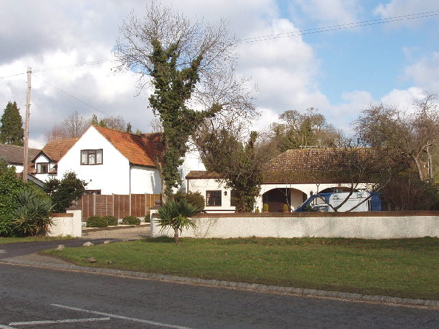
Wrexham Street is a quaint residential street located in Buckinghamshire, a county in the South East of England. Situated in the charming town of Buckingham, Wrexham Street offers a peaceful and picturesque setting for its residents.
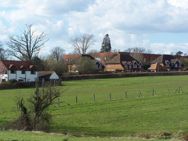
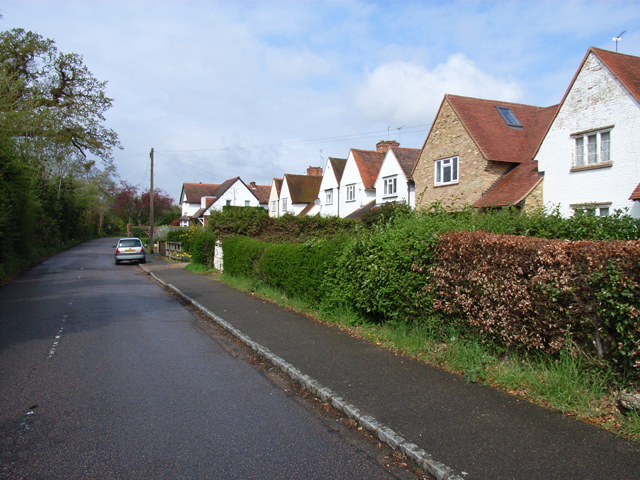
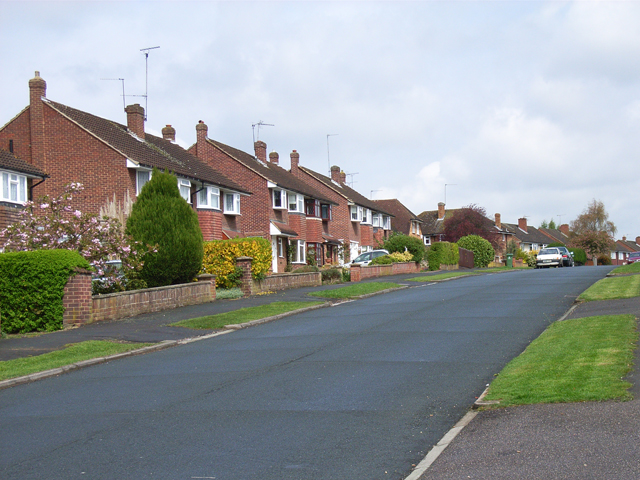
The street is lined with a mix of traditional Victorian and Edwardian houses, showcasing the architectural styles of the late 19th and early 20th centuries. These well-maintained properties add to the street's character and appeal, creating a welcoming atmosphere for both residents and visitors alike.
Wrexham Street benefits from its convenient location, with easy access to the town center and its amenities. The nearby Buckingham University and various schools make it an ideal location for families and students. Additionally, the street is well-connected to transport links, with nearby bus stops and the A413 providing easy access to surrounding areas.
Buckingham itself offers a range of amenities and attractions, including local shops, restaurants, and a bustling market. The town is also steeped in history, with the iconic Buckingham Old Gaol Museum and the majestic Stowe House nearby, both of which attract tourists from far and wide.
Overall, Wrexham Street in Buckinghamshire provides a charming and peaceful residential environment, combining the tranquility of a residential street with the convenience of nearby amenities and attractions.
If you have any feedback on the listing, please let us know in the comments section below.
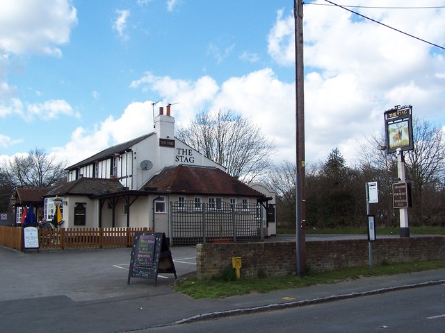
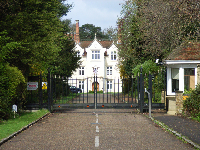
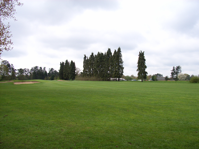
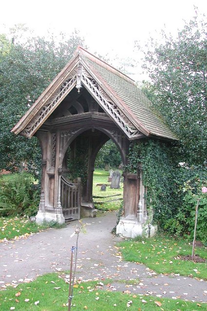
Wrexham Street Images
Images are sourced within 2km of 51.537231/-0.5739876 or Grid Reference SU9983. Thanks to Geograph Open Source API. All images are credited.
Wrexham Street is located at Grid Ref: SU9983 (Lat: 51.537231, Lng: -0.5739876)
Unitary Authority: Buckinghamshire
Police Authority: Thames Valley
What 3 Words
///animal.songs.rungs. Near Stoke Poges, Buckinghamshire
Nearby Locations
Related Wikis

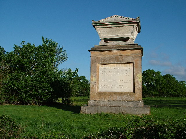
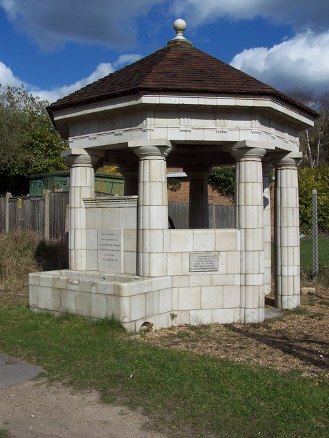
Stoke and Wexham War Memorial
Stoke and Wexham War Memorial is located in Wexham Street, Wexham, Buckinghamshire, England. It is a grade II listed building with Historic England and...

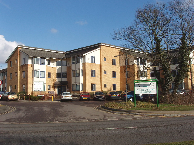
Wexham Park Hospital
Wexham Park Hospital is a large NHS hospital in Slough, Berkshire. It has been managed by Frimley Health NHS Foundation Trust since 2014. Sir Andrew Morris...

Wexham
Wexham is a civil parish straddling the ceremonial counties of Berkshire and Buckinghamshire in southern England. Wexham Park Hospital is a large hospital...

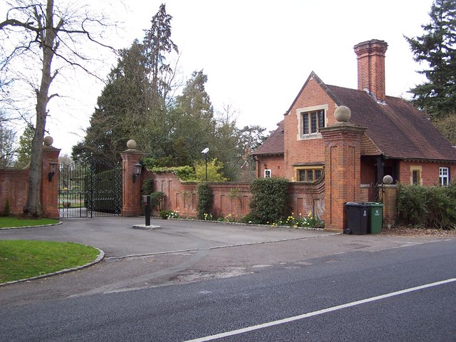
Stoke Place
Stoke Place is a country house in Stoke Poges in Buckinghamshire. == Patrick Lamb == Patrick Lamb built Stoke Place in 1690. For about 50 years he was...

Wexham School
Wexham School is a co-educational community school in Wexham Court, Slough, Berkshire. == Admissions == The school opened in 1987, and serves students...

Stoke Poges
Stoke Poges () is a village and civil parish in south-east Buckinghamshire, England. It is centred 3 miles (4.8 km) north-north-east of Slough, its post...

Fulmer Research Institute
Fulmer Research Institute was founded in 1945 as a UK contract research and development organization specializing in materials technology and related areas...

Stoke Hundred
Stoke Hundred is a hundred in Buckinghamshire, England. It is situated in the south of the county and is bounded on the east by Middlesex and on the south...
Nearby Amenities
Located within 500m of 51.537231,-0.5739876Have you been to Wrexham Street?
Leave your review of Wrexham Street below (or comments, questions and feedback).