Wretton
Settlement in Norfolk King's Lynn and West Norfolk
England
Wretton

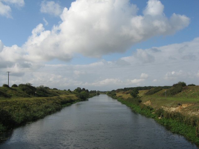
Wretton is a small village located in the county of Norfolk, England. Situated about 15 miles southwest of the city of King's Lynn, it falls within the district of King's Lynn and West Norfolk. The village is positioned on the eastern bank of the River Great Ouse, which adds to its picturesque setting.
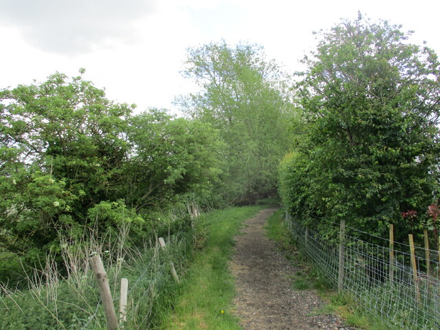
Wretton is characterized by its rural charm and tranquility. The landscape surrounding the village is predominantly agricultural, with vast fields and farmland stretching as far as the eye can see. The village itself is relatively small, with a population of around 200 residents.
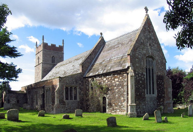
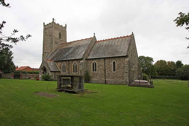
The heart of Wretton is centered around St. Mary's Church, a beautiful medieval church that dates back to the 14th century. The church serves as a focal point for the community and is a notable landmark in the area. Additionally, there is a small community hall and a primary school catering to the educational needs of the village.
Despite its size, Wretton is well-connected to neighboring towns and cities. The A10 road runs just east of the village, providing easy access to King's Lynn and Downham Market. The village also benefits from regular bus services, enabling residents to travel to nearby areas conveniently.
Wretton offers a tranquil escape from the hustle and bustle of city life, providing a close-knit community atmosphere and beautiful countryside surroundings. It is an ideal place for those seeking a peaceful rural lifestyle while still being within reach of essential amenities and transport links.
If you have any feedback on the listing, please let us know in the comments section below.
Wretton Images
Images are sourced within 2km of 52.571432/0.49138773 or Grid Reference TL6899. Thanks to Geograph Open Source API. All images are credited.


Wretton is located at Grid Ref: TL6899 (Lat: 52.571432, Lng: 0.49138773)
Administrative County: Norfolk
District: King's Lynn and West Norfolk
Police Authority: Norfolk
What 3 Words
///superhero.deaf.conquest. Near Stoke Ferry, Norfolk
Related Wikis
Wretton
Wretton is a village and civil parish in the English county of Norfolk. It covers an area of 4.7 km2 (1.8 sq mi) and had a population of 392 in 155 households...
Wretton SSSI
Wretton SSSI is a 20.6-hectare (51-acre) geological Site of Special Scientific Interest north-east of Downham Market in Norfolk. It is a Geological Conservation...
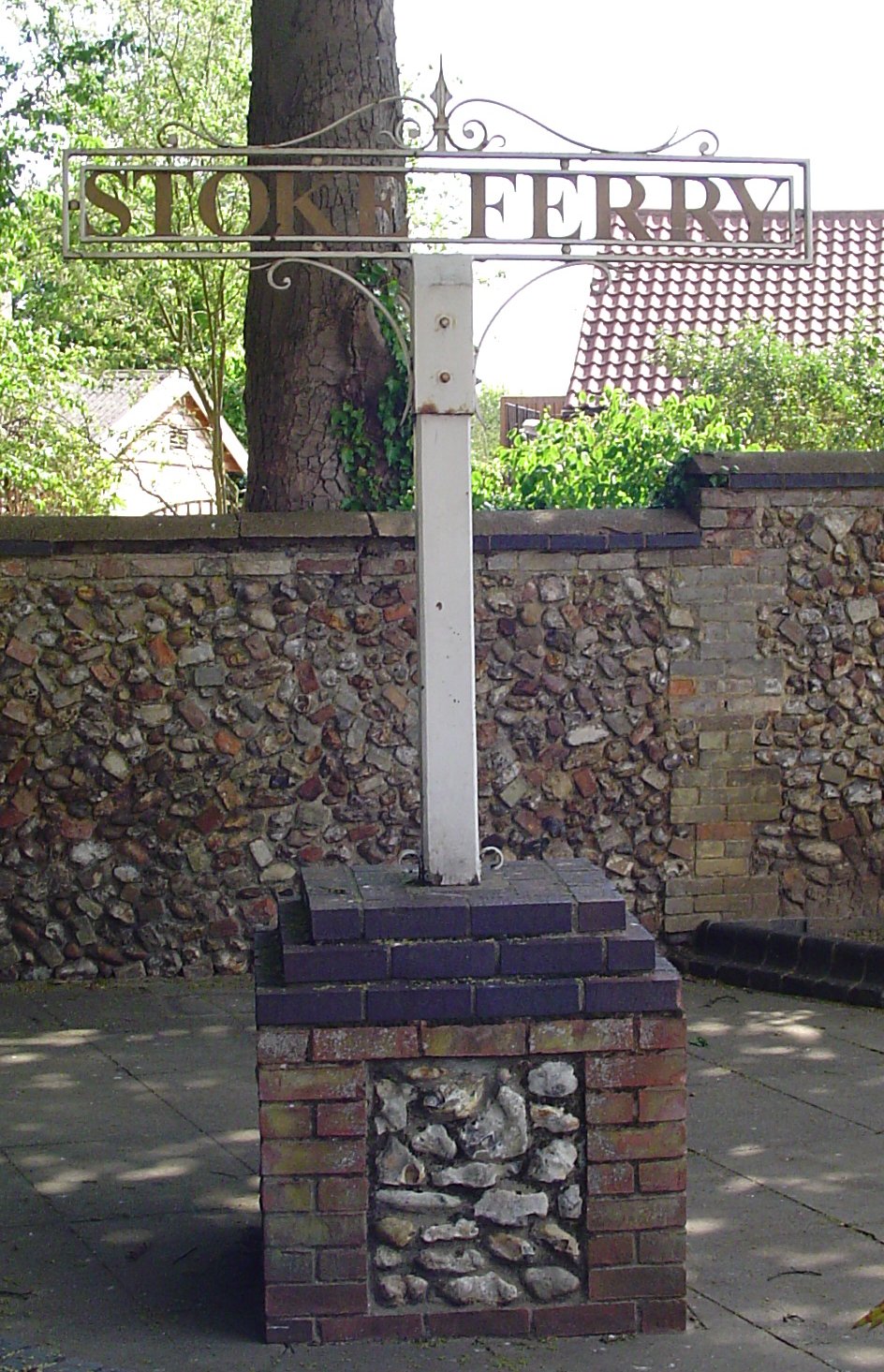
Stoke Ferry
Stoke Ferry is a village and civil parish in the English county of Norfolk, 6.5 miles southeast of Downham Market. The village lies on the River Wissey...

Wereham
Wereham is a small village and civil parish in the English county of Norfolk. == Location == Wereham lies in the Wissey valley and is on the main A134...
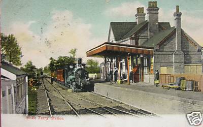
Stoke Ferry railway station
Stoke Ferry is a closed railway station in Norfolk. It was the terminus of a 7¼ mile branch line from Denver which opened on 1 August 1882 and finally...
Boughton, Norfolk
Boughton is a village and a civil parish in the English county of Norfolk. The village is 44.4 miles (71.5 km) west of Norwich, 15.1 miles (24.3 km) south...

Francis Fane, 1st Earl of Westmorland
Francis Fane, 1st Earl of Westmorland (1 February 1580 – 23 March 1629), (styled Sir Francis Fane between 1603 and 1624) of Mereworth in Kent and of Apethorpe...
West Dereham Abbey
West Dereham Abbey was an abbey in Norfolk, England.St Mary's Abbey, West Dereham, was founded in 1188 by Hubert Walter, Dean of York, at his birthplace...
Nearby Amenities
Located within 500m of 52.571432,0.49138773Have you been to Wretton?
Leave your review of Wretton below (or comments, questions and feedback).