Abbotswood

Settlement in Hampshire Test Valley

England

Abbotswood

Wide verge beside Woodley Lane
Wide verge beside Woodley Lane Credit: David Martin

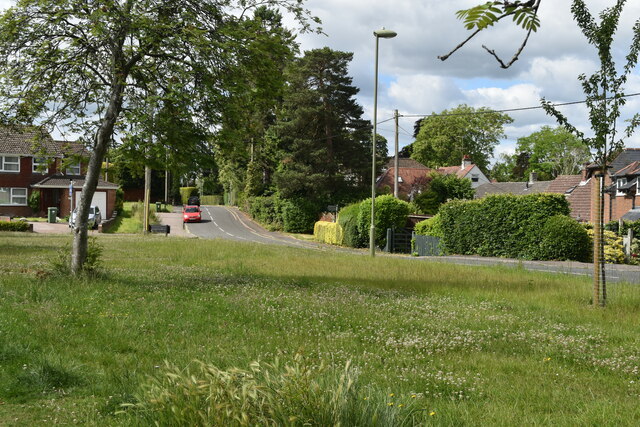
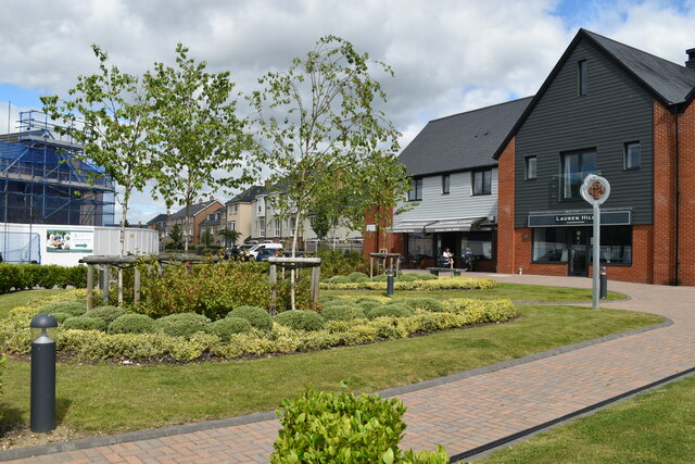
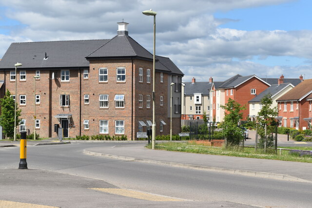
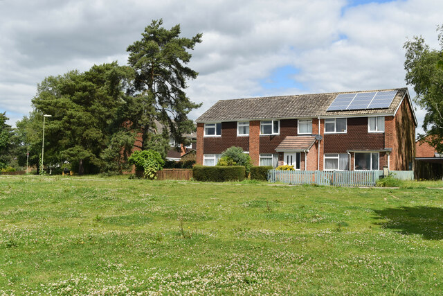
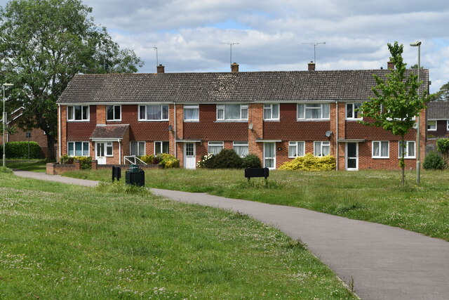
Abbotswood is a picturesque residential area located in Romsey, Hampshire, England. Nestled within the Test Valley, this charming neighborhood offers a tranquil and idyllic setting for its residents.

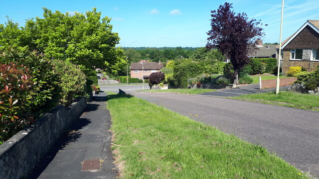
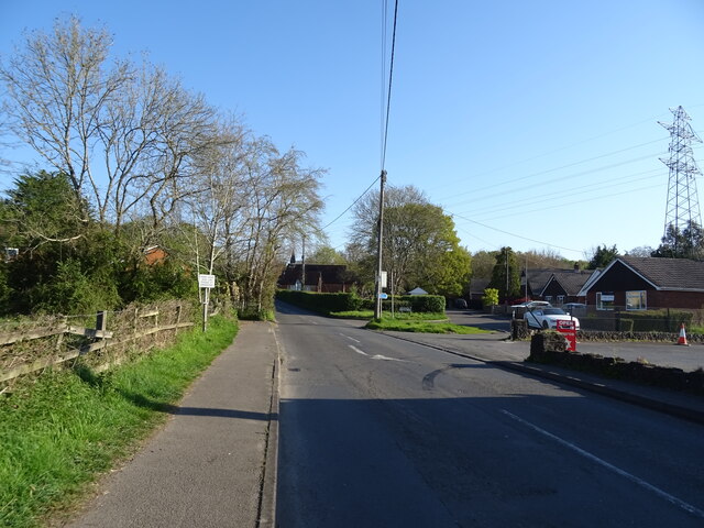
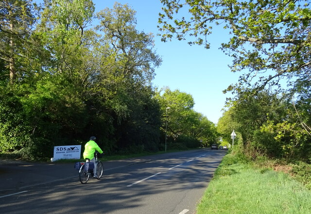
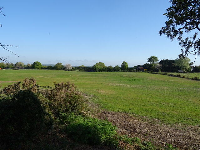
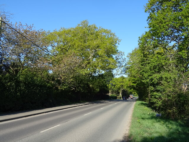
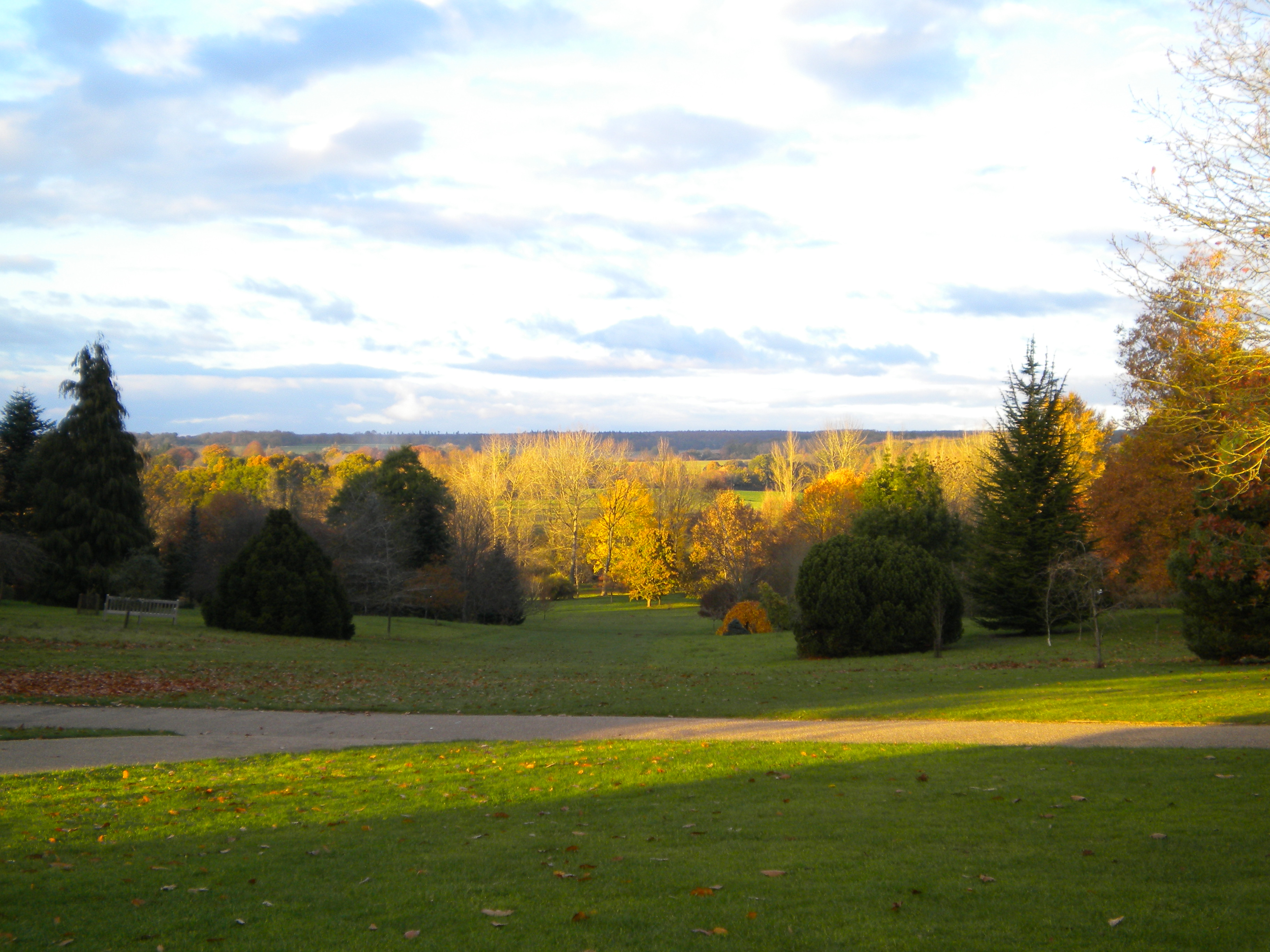
Known for its natural beauty, Abbotswood is surrounded by lush green spaces and stunning countryside views. The area boasts an abundance of trees and wildlife, making it a haven for nature enthusiasts. Residents can enjoy long walks or bike rides along the numerous trails and pathways that wind through the neighborhood and nearby areas.

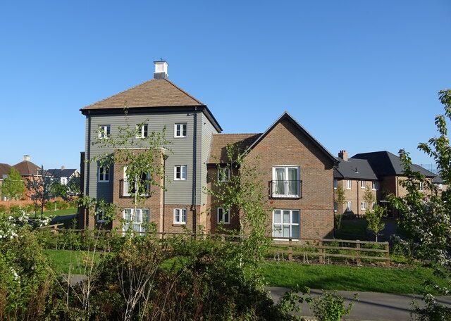
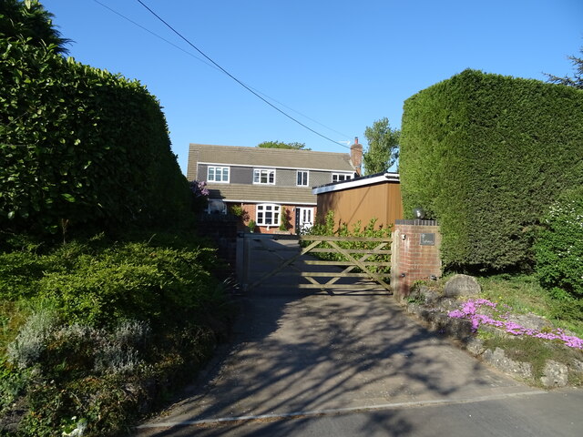
The architecture in Abbotswood is predominantly modern, with a range of housing options available, including detached houses, semi-detached houses, and apartments. The properties are well-maintained, and many feature spacious gardens, perfect for families or those who enjoy outdoor living.

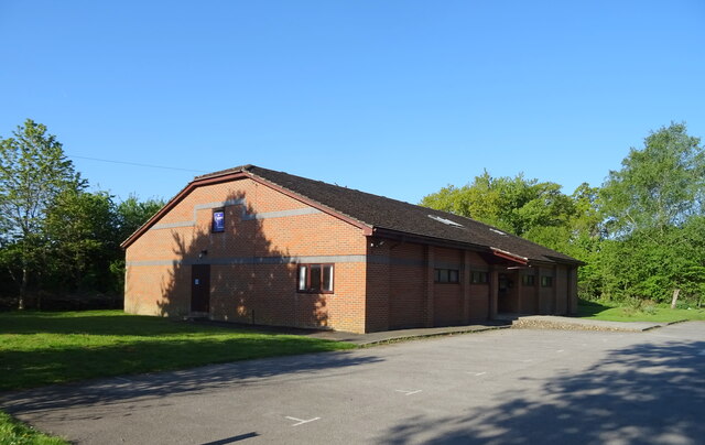
The neighborhood benefits from excellent amenities, including a local convenience store and a community center that hosts various events and activities throughout the year. There are also several schools nearby, making Abbotswood an attractive location for families with children.

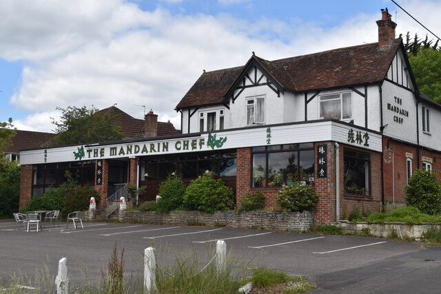
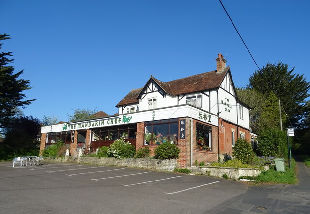
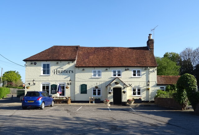
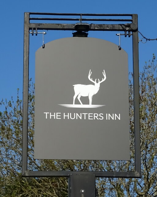
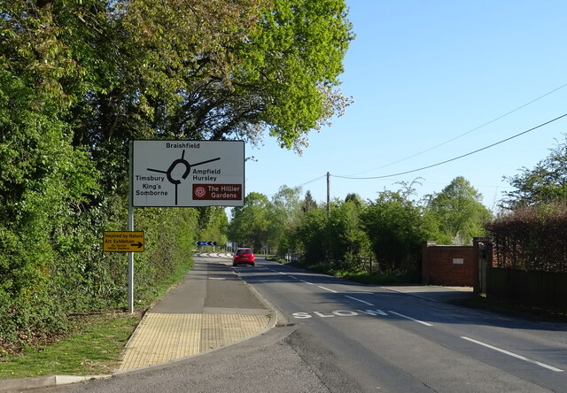
For those seeking recreational activities, the nearby Romsey Golf Club offers an excellent course and facilities, while the bustling town of Romsey provides a range of shops, restaurants, and entertainment options just a short distance away.

Overall, Abbotswood offers a peaceful and scenic place to call home, with its natural surroundings, modern housing, and convenient amenities making it an ideal location for residents of all ages.

If you have any feedback on the listing, please let us know in the comments section below.

Abbotswood Images

Images are sourced within 2km of 51.00926/-1.4866041 or Grid Reference SU3623. Thanks to Geograph Open Source API. All images are credited.

Wide verge beside Woodley Lane
New commercial centre, Radcliffe Row Grassy area and local shops on the Abbotswood development, Romsey.
New commercial centre, Radcliffe Row
Grassy area and local shops on the Abbotswood development, Romsey.
Modern flats and houses at Abbotswood
The Mandarin Chef Prominent Chinese Restaurant by the A3090 at the eastern edge of Romsey.
The Mandarin Chef
Prominent Chinese Restaurant by the A3090 at the eastern edge of Romsey.
Houses overlooking green at Woodley
View down Durban Close towards Cupernham Lane
Halterworth Lane Heading north towards the A3090.
Halterworth Lane
Heading north towards the A3090.
Chinese restaurant on Winchester Road
The Hunters Inn On Winchester Hill.
See <a href="https://www.geograph.org.uk/photo/7302414">SU3722 : Sign for the Hunters Inn</a> for sign.
The Hunters Inn
On Winchester Hill. See SU3722 : Sign for the Hunters Inn for sign.
Sign for the Hunters Inn See <a href="https://www.geograph.org.uk/photo/7302412">SU3722 : The Hunters Inn</a> for public house.
Sign for the Hunters Inn
See SU3722 : The Hunters Inn for public house.
New housing, Romsey
New housing, Romsey
Woodley Lane
Woodley Lane
10th Romsey Scout Group Hall
Braishfield Road approaching roundabout
Grazing near pond, Abbotswood
Sandy Lane, Abbotswood
House on Yokesford Hill
Show me another place!

Abbotswood is located at Grid Ref: SU3623 (Lat: 51.00926, Lng: -1.4866041)

Administrative County: Hampshire

District: Test Valley

Police Authority: Hampshire

What 3 Words

///latched.heartened.registry. Near Romsey, Hampshire

Nearby Locations

Abbotswood Minchin Hill

Related Wikis

Romsey (UK Parliament constituency)

Romsey was a seat of the House of Commons of the UK Parliament 1983–2010 which accordingly (as with all seats since 1950) elected one Member of Parliament...

Abbotswood, Hampshire

Abbotswood is a new 52-hectare building development planned to have 800 homes. It is located just to the north east of the town of Romsey in the Test Valley...

Sir Harold Hillier Gardens

The Sir Harold Hillier Gardens is an arboretum comprising 72 hectares (180 acres) accommodating over 42,000 trees and shrubs in about 12,000 taxa, notably...

Timsbury, Hampshire

Timsbury is a village and former civil parish, now in the parish of Michelmersh and Timsbury, in the Test Valley district, in Hampshire, England. It is...

Romsey railway station

Romsey railway station serves the town of Romsey in Hampshire, England. It is on the Wessex Main Line, at the junction for the Eastleigh to Romsey Line...

Romsey Community Hospital

The Romsey Community Hospital is a hospital in Romsey, England. the current site opened in 1931 and is operated by the Southern Health NHS Foundation Trust...

The Romsey School

The Romsey School is a mixed community academy in Romsey, Hampshire, England. The school was a secondary modern, called Romsey County Secondary School...

Tadburn Meadows

Tadburn Meadows is a 5.1-hectare (13-acre) Local Nature Reserve in Romsey in Hampshire. It is owned and managed by Test Valley Borough Council.Tadburn...

Nearby Amenities

Located within 500m of 51.00926,-1.4866041
Odbl: clean
Lat/Long: 51.0054655/-1.4902881
Odbl: clean
Lat/Long: 51.0064228/-1.4907575
Odbl: clean
Lat/Long: 51.006886/-1.4911809
Odbl: clean
Lat/Long: 51.0074414/-1.4917454
Odbl: clean
Lat/Long: 51.007742/-1.492132
Odbl: clean
Lat/Long: 51.0080642/-1.4926382
Odbl: clean
Lat/Long: 51.0083863/-1.4931168
Odbl: clean
Lat/Long: 51.0087361/-1.4935678
Post Box
Collection Plate: not visible
Collection Times: Mo-Fr 16:00; Sa 08:45
Operator: Royal Mail
Operator Wikidata: Q638098
Post Box Type: wall
Ref: SO51 396
Royal Cypher: GR
Royal Cypher Wikidata: Q33102273
Lat/Long: 51.0081553/-1.487002
Bus Stop
Bus: yes
Public Transport: platform
Lat/Long: 51.0081247/-1.4867614
DARCY
Addr Housename: Darcy Construction
Addr Housenumber: 13
Addr Street: Westlink
Office: yes
Lat/Long: 51.0080146/-1.4846255
Darcy Construction
Office: yes
Lat/Long: 51.0079053/-1.4844788
Darcy Construction
Office: yes
Lat/Long: 51.0078743/-1.4844203
WOW Camping
Shop: outdoor
Website: https://www.wowcamping.co.uk/
Lat/Long: 51.0086693/-1.485877
Turning Circle
Lat/Long: 51.0112072/-1.4911975
Ford: yes
Lat/Long: 51.0078287/-1.4911924
Board Type: welcome_sign
Information: board
Tourism: information
Lat/Long: 51.0056467/-1.4856223
Crossing
Lat/Long: 51.0059553/-1.4846978
Barrier: cycle_barrier
Lat/Long: 51.0086398/-1.4797683
Barrier: cycle_barrier
Lat/Long: 51.0086363/-1.4795989
Crossing
Lat/Long: 51.0055905/-1.4859654
Crossing
Lat/Long: 51.0054079/-1.4868262
Crossing
Lat/Long: 51.0056585/-1.487105
Crossing
Lat/Long: 51.0057697/-1.4871578
Crossing
Lat/Long: 51.0059806/-1.4872643
Crossing
Lat/Long: 51.0060855/-1.4873225
Addr City: Romsey
Addr Housenumber: 7
Addr Postcode: SO51 7LE
Addr Street: Treviglio Close
Lat/Long: 51.0053471/-1.4865321
Addr City: Romsey
Addr Housenumber: 9
Addr Postcode: SO51 7LE
Addr Street: Treviglio Close
Lat/Long: 51.0053081/-1.486507
Addr City: Romsey
Addr Housenumber: 11
Addr Postcode: SO51 7LE
Addr Street: Treviglio Close
Lat/Long: 51.0052235/-1.4865002
Addr City: Romsey
Addr Housenumber: 15
Addr Postcode: SO51 7LE
Addr Street: Treviglio Close
Lat/Long: 51.0051731/-1.4865002
Addr City: Romsey
Addr Housenumber: 17
Addr Postcode: SO51 7LE
Addr Street: Treviglio Close
Lat/Long: 51.0051207/-1.4865012
Addr City: Romsey
Addr Housenumber: 19
Addr Postcode: SO51 7LE
Addr Street: Treviglio Close
Lat/Long: 51.0050788/-1.4865012
Barrier: bollard
Bollard: removable
Colour: grey
Foot: yes
Height: 1
Material: metal
Width: 0.2
Lat/Long: 51.0064698/-1.4878285
Meadow View
Place: neighbourhood
Lat/Long: 51.0055062/-1.4868842
Material: wood
Power: pole
Lat/Long: 51.0076728/-1.4927958
Power: pole
Lat/Long: 51.008274/-1.4935249
Material: wood
Power: pole
Lat/Long: 51.0070156/-1.4919702
Material: wood
Power: pole
Lat/Long: 51.0061057/-1.4909633
Power: pole
Lat/Long: 51.0130787/-1.4851635
Plantaholics
Shop: garden_centre
Lat/Long: 51.0090919/-1.4795916
The data included in this document is from www.openstreetmap.org. The data is made available under ODbL.

Have you been to Abbotswood?

Leave your review of Abbotswood below (or comments, questions and feedback).