Abbotstone

Settlement in Hampshire Winchester

England

Abbotstone

Mown field south of bridleway 127/15/2
Mown field south of bridleway 127/15/2 Credit: Robin Webster

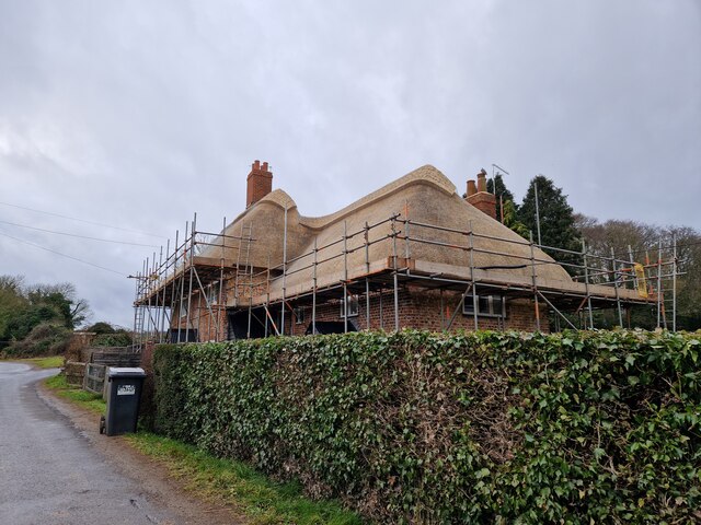
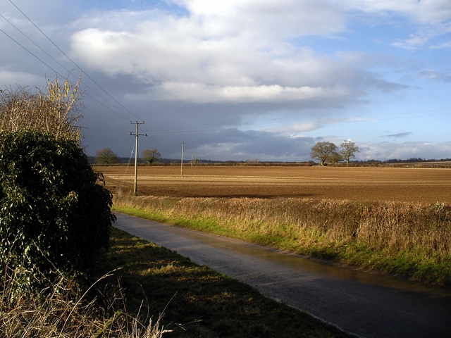
Abbotstone is a small village located in the county of Hampshire, England. Situated in the picturesque countryside, it is nestled between the towns of Alresford and Bighton. The village is known for its tranquility and natural beauty, making it a popular destination for those seeking a peaceful retreat.

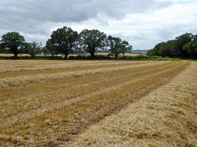
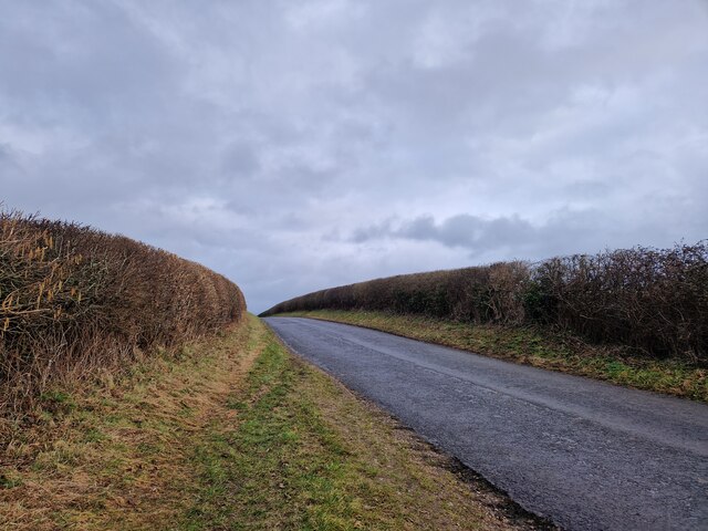
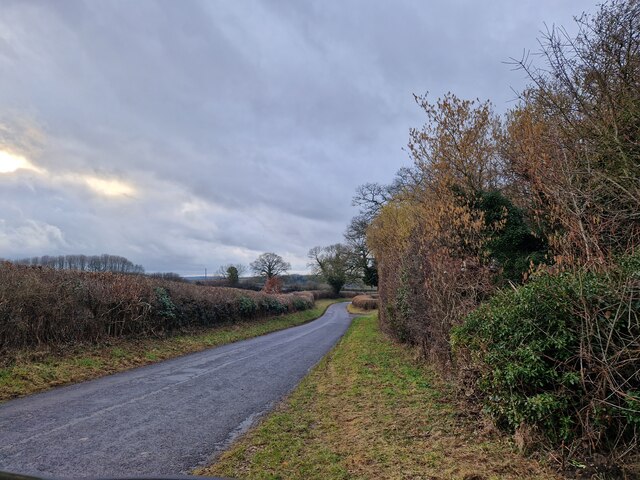
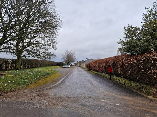
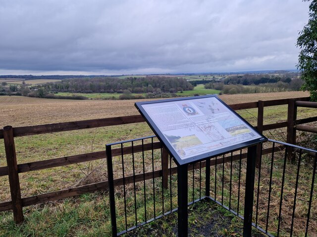
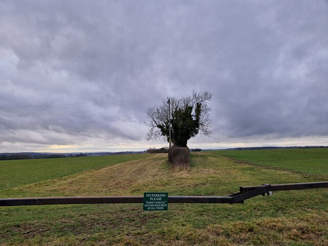
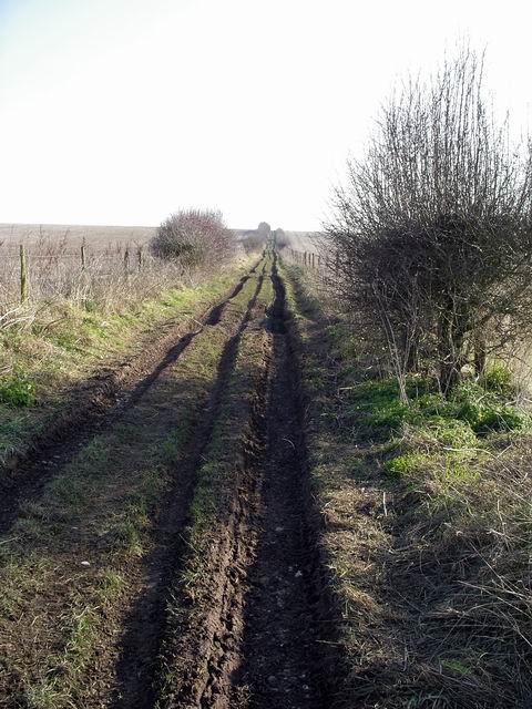
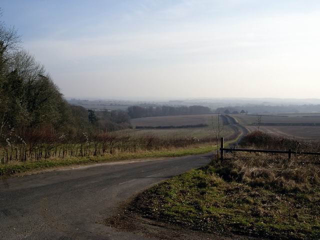
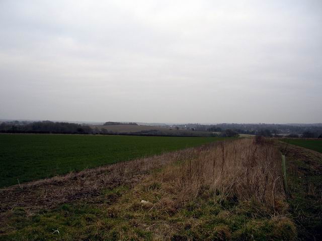
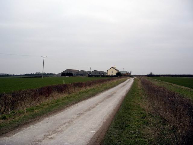
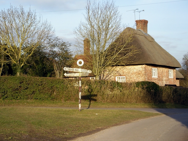
One of the defining features of Abbotstone is its charming rural setting. Surrounded by rolling hills and farmland, the village offers breathtaking views of the countryside. The landscape is dotted with traditional English cottages, giving the area a quaint and idyllic atmosphere.

Despite its small size, Abbotstone has a rich history. The village dates back to medieval times, with the name "Abbotstone" believed to originate from the presence of an ancient abbey or monastic settlement in the area. Today, remnants of this history can still be seen in the form of historical buildings and landmarks.

Abbotstone is also known for its close-knit community. The villagers take pride in their community spirit and frequently organize events and activities to bring residents together. This strong sense of community creates a welcoming and friendly atmosphere for both locals and visitors.

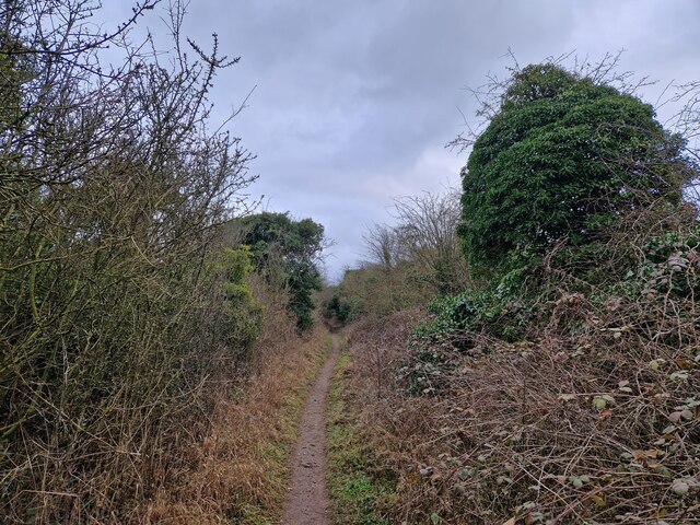
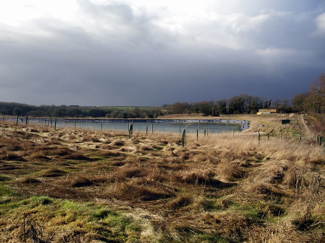
For outdoor enthusiasts, Abbotstone offers ample opportunities for recreation. The surrounding countryside provides numerous walking trails and cycling routes, allowing visitors to explore the beautiful landscape at their own pace. Additionally, the nearby South Downs National Park offers further opportunities for outdoor adventures.

In conclusion, Abbotstone is a charming village in Hampshire, England, known for its peaceful surroundings, rich history, and strong community spirit. Whether you are looking for a tranquil getaway or a chance to immerse yourself in nature, Abbotstone is a destination that should not be missed.

If you have any feedback on the listing, please let us know in the comments section below.

Abbotstone Images

Images are sourced within 2km of 51.107417/-1.195056 or Grid Reference SU5634. Thanks to Geograph Open Source API. All images are credited.

Mown field south of bridleway 127/15/2
Looking east-southeast along Oxdrove Way Firstly, rhyme it with saltire. Secondly credit Bill Bryson with the idea. It's a sort of geriatric straight line orienteering. Basically you try to follow a straight line and record what you see, square by square. A Bashire starts at your home grid square and is two straight lines, one running north to south and the other east to west. After only a few squares these will form a cross- each one unique.
Looking east-southeast along Oxdrove Way
Firstly, rhyme it with saltire. Secondly credit Bill Bryson with the idea. It's a sort of geriatric straight line orienteering. Basically you try to follow a straight line and record what you see, square by square. A Bashire starts at your home grid square and is two straight lines, one running north to south and the other east to west. After only a few squares these will form a cross- each one unique.
Wandering westwards along the Bashire (32) Looking westwards along Oxdrove Way
Wandering westwards along the Bashire (32)
Looking westwards along Oxdrove Way
Postbox at Pobdown Farm
Cottage opposite the watercress beds being re-thatched
Alresford Historical Society Spitfire Memorial For more details see <span class="nowrap"><a title="https://www.alresfordhistandlit.co.uk/page15.html" rel="nofollow ugc noopener" href="https://www.alresfordhistandlit.co.uk/page15.html">Link</a><img style="margin-left:2px;" alt="External link" title="External link - shift click to open in new window" src="https://s1.geograph.org.uk/img/external.png" width="10" height="10"/></span>
Alresford Historical Society Spitfire Memorial
For more details see LinkExternal link
Wandering westwards along the Bashire (33) Wayfarer's Walk: heading from the Spitfire Memorial to Oxdrove Way
Wandering westwards along the Bashire (33)
Wayfarer's Walk: heading from the Spitfire Memorial to Oxdrove Way
Wandering westwards along the Bashire (34) The road north from Folly Hill
Wandering westwards along the Bashire (34)
The road north from Folly Hill
Field boundary, Folly Hill Farm
Northington Grange The Grange, now an empty shell, was one of the first houses in Europe re-modelled along classical Greek lines. <a href="https://www.geograph.org.uk/photo/149292">SU5636 : The Grange - western facade</a> was the only part of the building not clad in a classical facade.
In the 1970s the owner planned to demolish it and it was only after all the fittings had been sold and the roof removed that the building was rescued by the Department of the Environment. In 1980 it was re-roofed some parts restored. For more see <span class="nowrap"><a title="http://www.astoft.co.uk/grange.htm" rel="nofollow ugc noopener" href="http://www.astoft.co.uk/grange.htm">Link</a><img style="margin-left:2px;" alt="External link" title="External link - shift click to open in new window" src="https://s1.geograph.org.uk/img/external.png" width="10" height="10"/></span>
Northington Grange
The Grange, now an empty shell, was one of the first houses in Europe re-modelled along classical Greek lines. SU5636 : The Grange - western facade was the only part of the building not clad in a classical facade. In the 1970s the owner planned to demolish it and it was only after all the fittings had been sold and the roof removed that the building was rescued by the Department of the Environment. In 1980 it was re-roofed some parts restored. For more see LinkExternal link
Oxdrove Way crossing Itchen Stoke Down The Oxdrove Way heads south east across Itchen Stoke Down from Northington Road.
Oxdrove Way crossing Itchen Stoke Down
The Oxdrove Way heads south east across Itchen Stoke Down from Northington Road.
Road to Abbotstone The road to Abbotstone heads south east from its junction with Northington Road.
Road to Abbotstone
The road to Abbotstone heads south east from its junction with Northington Road.
Farmland north of Itchen Stoke Looking east across farmland towards Alresford in the distance.
Farmland north of Itchen Stoke
Looking east across farmland towards Alresford in the distance.
Folly Hill Folly Hill Farm. The only buildings on the Stoke Itchen to Abbotstone road.
Folly Hill
Folly Hill Farm. The only buildings on the Stoke Itchen to Abbotstone road.
Crossroads at Abbotstone Abbotstone is the site of an abandoned medieval village. There are just a few houses here today.
Crossroads at Abbotstone
Abbotstone is the site of an abandoned medieval village. There are just a few houses here today.
Farm pond at Fobdown Farm West of New Alresford, an man-made pond.
Farm pond at Fobdown Farm
West of New Alresford, an man-made pond.
Fobdown Farm Looking north east over fields at Fobdown Farm.
Fobdown Farm
Looking north east over fields at Fobdown Farm.
The Grange - western facade The western side of The Grange is the one side that was not encased in a Classical facade.
The Grange - western facade
The western side of The Grange is the one side that was not encased in a Classical facade.
Show me another place!

Abbotstone is located at Grid Ref: SU5634 (Lat: 51.107417, Lng: -1.195056)

Administrative County: Hampshire

District: Winchester

Police Authority: Hampshire

What 3 Words

///scramble.gender.toads. Near New Alresford, Hampshire

Nearby Locations

Abbotstone

Related Wikis

Fobdown

Fobdown is a hamlet in Hampshire, England. It lies 2 miles (3.2 km) north-west from New Alresford. It is in the civil parish of Old Alresford.

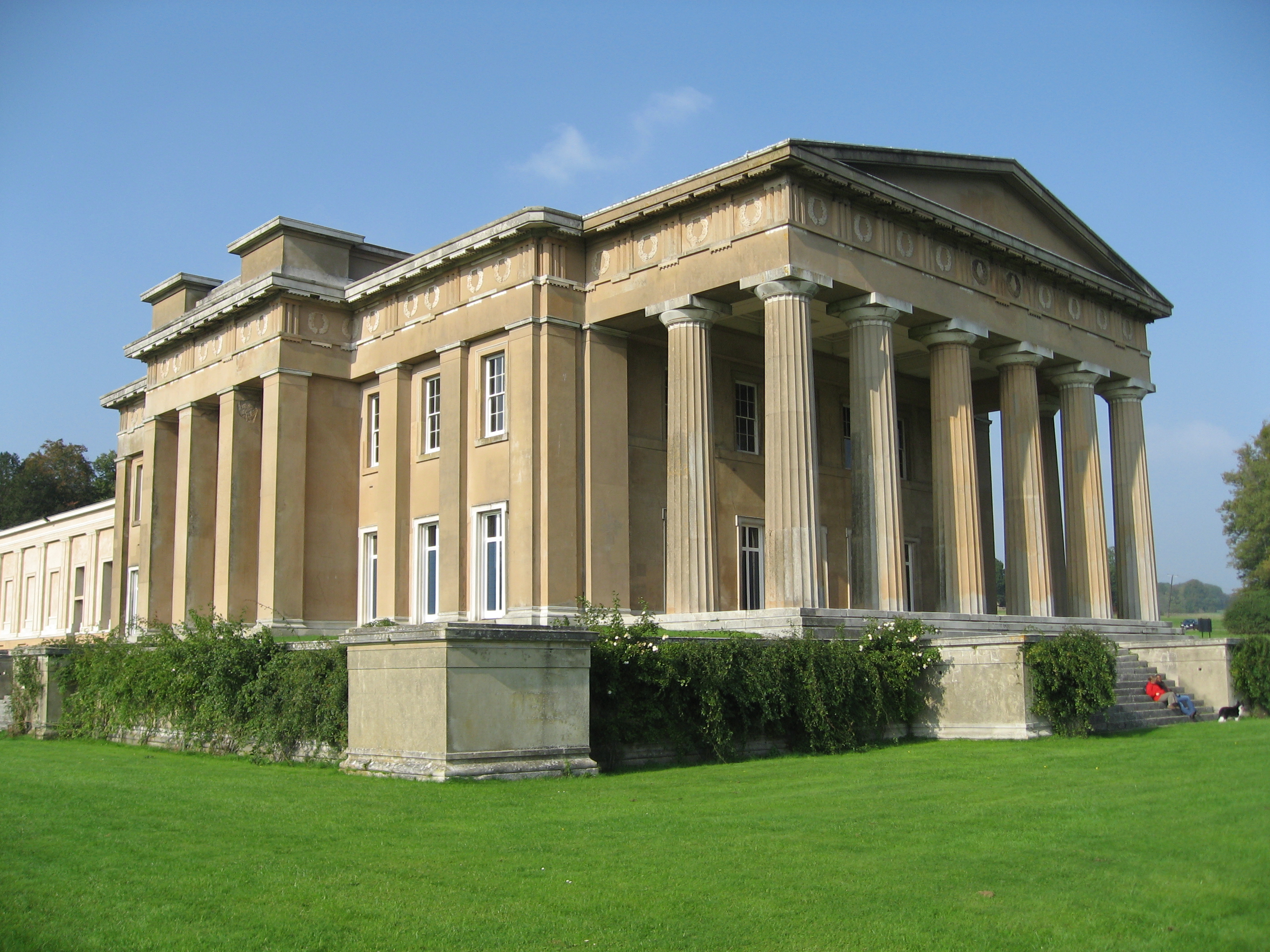
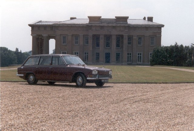
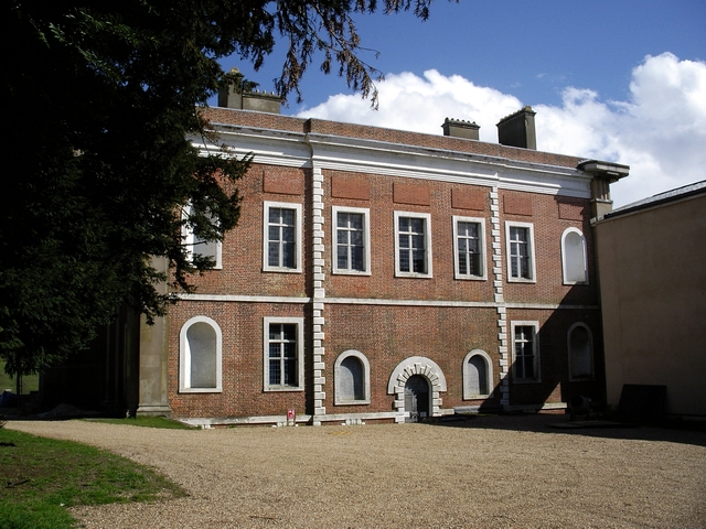
The Grange, Northington

The Grange is a 19th-century country house-mansion and English landscape park near Northington in Hampshire, England. It is currently owned by the Baring...

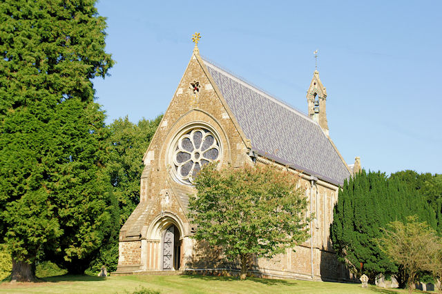
St Mary's Church, Itchen Stoke

St Mary, Itchen Stoke, Hampshire, is a redundant Anglican church in the parish of Itchen Stoke and Ovington. It has been designated by English Heritage...

Itchen Stoke and Ovington

Itchen Stoke and Ovington () is an English civil parish consisting of two adjoining villages in Hampshire, England, 2 miles (3.2 km) west of Alresford...

Nearby Amenities

Located within 500m of 51.107417,-1.195056
Abbotstone
Is In: Hampshire, England, UK
Place: hamlet
Wikidata: Q9138020
Lat/Long: 51.1074679/-1.1972006
The data included in this document is from www.openstreetmap.org. The data is made available under ODbL.

Have you been to Abbotstone?

Leave your review of Abbotstone below (or comments, questions and feedback).