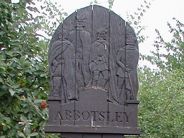
Abbotsley

Settlement in Huntingdonshire Huntingdonshire

England

Abbotsley

St Margarets Church - Abbotsley Photo taken after the two huge chestnut trees were cut back to reveal the Church in all its splendour. The church has undergone a long period of restoration bringing it back from near dereliction.
St Margarets Church - Abbotsley Credit: Steve Jaikens

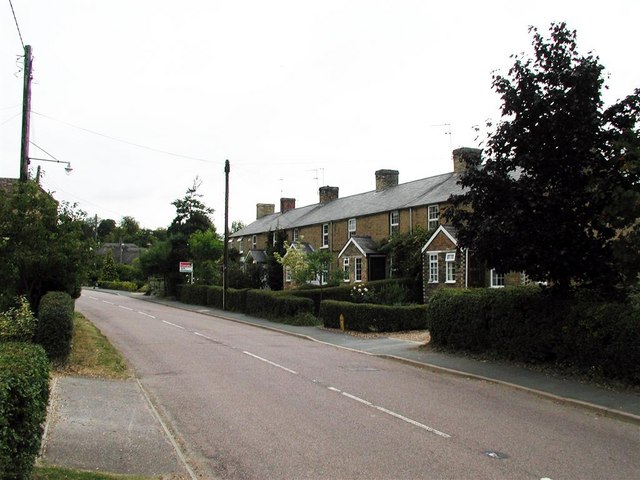
Abbotsley is a charming village located in the county of Huntingdonshire, in the eastern region of England. Situated on the western bank of the Great Ouse River, it is part of the civil parish of Great Gransden. With a population of around 600 residents, Abbotsley is a close-knit and peaceful community.

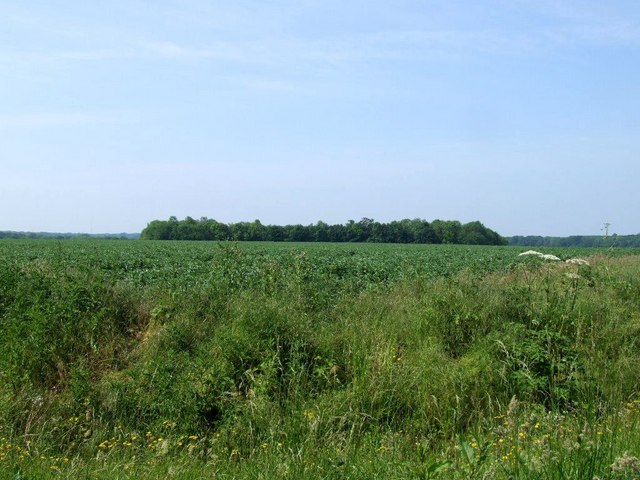
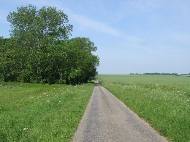
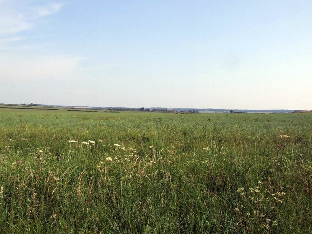
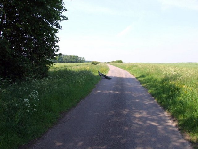
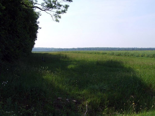
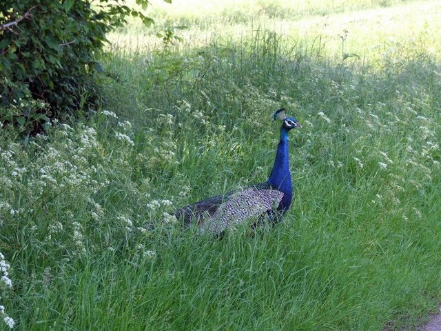
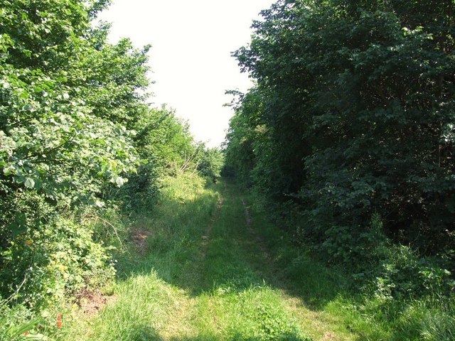
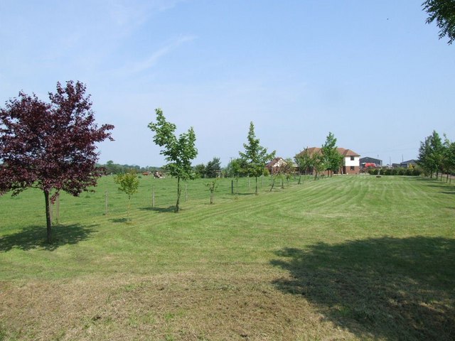
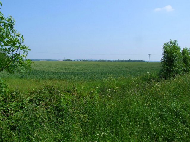
The village is known for its picturesque countryside, featuring rolling hills, meadows, and woodlands, making it an ideal destination for nature lovers and outdoor enthusiasts. The Great Ouse River also offers opportunities for boating, fishing, and leisurely walks along its banks.

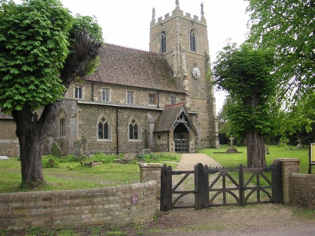
Abbotsley boasts a rich history, with some structures dating back to medieval times. The St. Margaret's Church, a Grade II listed building, is a notable landmark, showcasing beautiful architectural features and serving as a focal point for religious activities in the village.

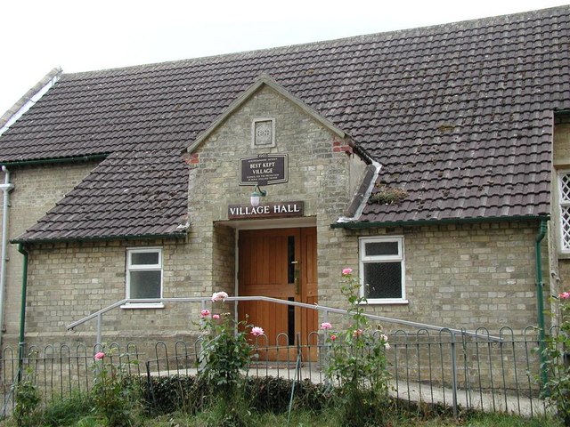
In terms of amenities, Abbotsley offers a range of facilities to cater to the needs of its residents. The village has a local pub, The Abbotsley Golf Hotel, which is a popular gathering spot for both locals and visitors. It also has a primary school, providing education to the younger population.

For those seeking further amenities and services, the nearby towns of St. Neots and Huntingdon are easily accessible, offering a wider array of shops, restaurants, and leisure activities.

Overall, Abbotsley is a charming and idyllic village that offers a serene and peaceful lifestyle amidst beautiful natural surroundings.

If you have any feedback on the listing, please let us know in the comments section below.
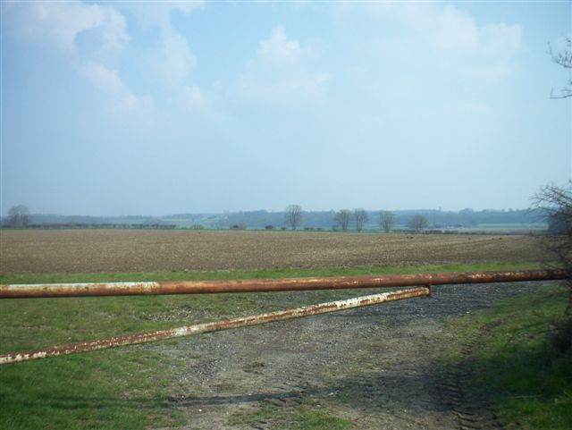
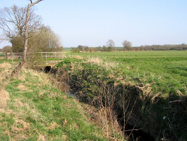
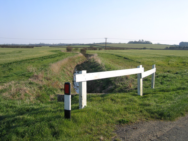
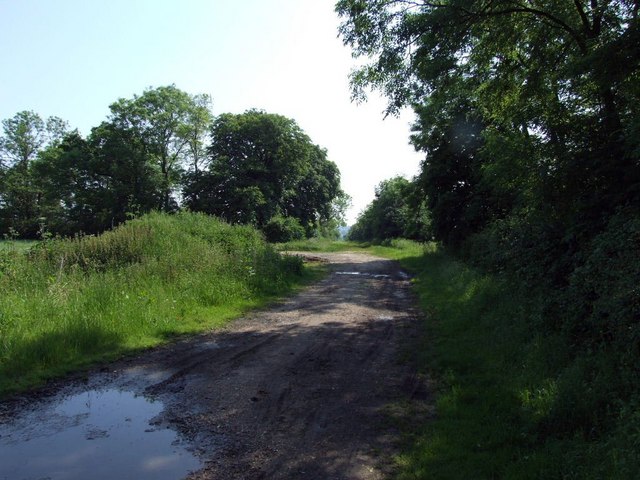
Abbotsley Images

Images are sourced within 2km of 52.193192/-0.202915 or Grid Reference TL2256. Thanks to Geograph Open Source API. All images are credited.

St Margarets Church - Abbotsley Photo taken after the two huge chestnut trees were cut back to reveal the Church in all its splendour. The church has undergone a long period of restoration bringing it back from near dereliction.
St Margarets Church - Abbotsley
Photo taken after the two huge chestnut trees were cut back to reveal the Church in all its splendour. The church has undergone a long period of restoration bringing it back from near dereliction.
New Row - High Street - Abbotsley The farthest end dwelling was the Butchers and Grocers and the Post Office. It is now a house.
New Row - High Street - Abbotsley
The farthest end dwelling was the Butchers and Grocers and the Post Office. It is now a house.
Carved wooden Village Sign This wooden Sign was donated by the Abbotsley Society in 1984 and is situated at Eight Bells corner. (Opposite the pub of the same name)
Carved wooden Village Sign
This wooden Sign was donated by the Abbotsley Society in 1984 and is situated at Eight Bells corner. (Opposite the pub of the same name)
Village Hall - Abbotsley Above the door is a sign proclaiming "Best kept Village 1993"
Village Hall - Abbotsley
Above the door is a sign proclaiming "Best kept Village 1993"
Farmland
Farmland
Abbotsley Brook, Abbotsley, Cambs a tributary of the River Gt Ouse, looking upstream where it is crossed by Abbotsley Road.
Abbotsley Brook, Abbotsley, Cambs
a tributary of the River Gt Ouse, looking upstream where it is crossed by Abbotsley Road.
Small Brook, Abbotsley, Cambs – view S upstream from the road to Croxton.
Small Brook, Abbotsley, Cambs
– view S upstream from the road to Croxton.
RUPP between Wildmere plantation and Bullby Hill plantation
Looking down towards Lily Hill Plantation
The straight road past Broad Plantation.
Open ground looking towards Abbotsley
Why did the peacock cross the road? Peacock on the back road between Waresley and Abbotsley.
Why did the peacock cross the road?
Peacock on the back road between Waresley and Abbotsley.
looking south east next to Langlands Plantation. Spot the peacock.
looking south east next to Langlands Plantation.
Spot the peacock.
Peacock by the road.
The long drive to Manor Farm
RUPP through Hail Lane Plantation
Southwood Farm These large farm buildings don't appear on the 50K OS map.
Southwood Farm
These large farm buildings don't appear on the 50K OS map.
Field near Southwood Farm
Show me another place!

Abbotsley is located at Grid Ref: TL2256 (Lat: 52.193192, Lng: -0.202915)

Administrative County: Cambridgeshire

District: Huntingdonshire

Police Authority: Cambridgeshire

What 3 Words

///prone.arriving.relies. Near Great Gransden, Cambridgeshire

Nearby Locations

Abbotsley

Related Wikis

St Margaret's Church, Abbotsley

St Margaret's Church is a historic Anglican church in the village of Abbotsley, Cambridgeshire, England. It is recorded in the National Heritage List...

Abbotsley

Abbotsley is a village and civil parish within the Huntingdonshire district of Cambridgeshire, England. It is three miles from St Neots and 14 miles from...

Eynesbury Hardwicke

Eynesbury Hardwicke is a former civil parish, now in the parishes of Abbotsley and St Neots, in the Huntingdonshire part of Cambridgeshire, England. At...

Weaveley and Sand Woods

Weaveley and Sand Woods is a 62.0-hectare (153-acre) biological Site of Special Scientific Interest north of Gamlingay in Cambridgeshire.This site has...

Nearby Amenities

Located within 500m of 52.193192,-0.202915
Post Box
Ref: PE19 136
Lat/Long: 52.1936555/-0.2014067
Telephone
Booth: K6
Covered: booth
Listed Status: Grade II
Phone: +44 1767 677311
Wikidata: Q26506839
Lat/Long: 52.1937938/-0.2057929
Bus Stop
Vicarage Farmyard
Naptan AtcoCode: 0500HABBY001
Naptan Bearing: SE
Naptan BusStopType: CUS
Naptan CommonName: Vicarage Farmyard
Naptan Indicator: near
Naptan Landmark: Vicarage Farmyard
Naptan NaptanCode: cmbdmpdw
Naptan ShortCommonName: Vicarage Farmyard
Naptan Street: St Neots Road
Naptan Verified: no
Source: naptan_import
Lat/Long: 52.1939131/-0.2057893
Bus Stop
High Green
Naptan AtcoCode: 0500HABBY002
Naptan Bearing: NW
Naptan CommonName: High Green
Naptan Indicator: opp
Naptan Landmark: High Green
Naptan NaptanCode: cmbdmpga
Naptan ShortCommonName: High Green
Naptan Street: St Neots Road
Naptan Verified: no
Source: naptan_import
Lat/Long: 52.1942187/-0.2077291
Bus Stop
High Green
Naptan AtcoCode: 0500HABBY003
Naptan Bearing: SE
Naptan BusStopType: CUS
Naptan CommonName: High Green
Naptan Indicator: near
Naptan Landmark: High Green
Naptan NaptanCode: cmbdmpgd
Naptan ShortCommonName: High Green
Naptan Street: St Neots Road
Naptan Verified: no
Source: naptan_import
Lat/Long: 52.1942824/-0.2076445
Bus Stop
Vicarage Farmyard
Naptan AtcoCode: 0500HABBY004
Naptan Bearing: NW
Naptan CommonName: Vicarage Farmyard
Naptan Indicator: opp
Naptan Landmark: Vicarage Farmyard
Naptan NaptanCode: cmbdmpgj
Naptan ShortCommonName: Vicarage Farmyard
Naptan Street: St Neots Road
Naptan Verified: no
Source: naptan_import
Lat/Long: 52.1938411/-0.2058412
Power: pole
Lat/Long: 52.1960535/-0.1997522
Power: pole
Lat/Long: 52.1962525/-0.2026329
Power: pole
Lat/Long: 52.1964383/-0.2056987
Power: pole
Lat/Long: 52.1961588/-0.2011926
Power: pole
Lat/Long: 52.1963445/-0.2041403
Power: pole
Lat/Long: 52.1931795/-0.208928
Power: pole
Lat/Long: 52.1932075/-0.2090701
Addr City: St Neots
Addr Housenumber: 5
Addr Postcode: PE19 6WQ
Addr Street: Lion Farm Court
Lat/Long: 52.1932752/-0.202096
Addr City: St Neots
Addr Housenumber: 2
Addr Postcode: PE19 6WQ
Addr Street: Lion Farm Court
Lat/Long: 52.1930253/-0.2016427
Addr City: St Neots
Addr Housenumber: 6
Addr Postcode: PE19 6WQ
Addr Street: Lion Farm Court
Lat/Long: 52.1933409/-0.2016213
Addr City: St Neots
Addr Housenumber: 3
Addr Postcode: PE19 6WQ
Addr Street: Lion Farm Court
Lat/Long: 52.1929366/-0.201809
Addr City: St Neots
Addr Housenumber: 1
Addr Postcode: PE19 6WQ
Addr Street: Lion Farm Court
Lat/Long: 52.1931257/-0.2014791
Addr City: St Neots
Addr Housenumber: 4
Addr Postcode: PE19 6WQ
Addr Street: Lion Farm Court
Lat/Long: 52.1929727/-0.2020692
Power: pole
Lat/Long: 52.195927/-0.1976253
Fixme: village sign -- unsure how to tag
Lat/Long: 52.1931915/-0.203112
Post Box
Post Box Type: lamp
Ref: PE19 132
Lat/Long: 52.1940909/-0.2073362
Addr City: St Neots
Addr Housenumber: 93
Addr Postcode: PE19 6UE
Addr Street: High Street
Lat/Long: 52.1939774/-0.20003
Addr City: St Neots
Addr Housenumber: 4
Addr Postcode: PE19 6UL
Addr Street: High Green
Lat/Long: 52.1937916/-0.2065611
Addr City: St Neots
Addr Housenumber: 2
Addr Postcode: PE19 6UL
Addr Street: High Green
Lat/Long: 52.19379/-0.2063921
Addr City: St Neots
Addr Housenumber: 8
Addr Postcode: PE19 6UL
Addr Street: High Green
Lat/Long: 52.1936552/-0.2066281
Addr City: St Neots
Addr Housenumber: 6
Addr Postcode: PE19 6UL
Addr Street: High Green
Lat/Long: 52.1937439/-0.2065745
Addr City: St Neots
Addr Housenumber: 10
Addr Postcode: PE19 6UL
Addr Street: High Green
Lat/Long: 52.1936123/-0.2066603
Addr City: St Neots
Addr Housenumber: 14
Addr Postcode: PE19 6UL
Addr Street: High Green
Lat/Long: 52.1935466/-0.2067113
Addr City: St Neots
Addr Housenumber: 77
Addr Postcode: PE19 6UE
Addr Street: High Street
Lat/Long: 52.1939001/-0.2004377
Addr City: St Neots
Addr Housenumber: 12
Addr Postcode: PE19 6UL
Addr Street: High Green
Lat/Long: 52.1935729/-0.2066898
Advertising: board
Lat/Long: 52.1937664/-0.2057732
Historic: tomb
Wikidata: Q96089395
Lat/Long: 52.1933259/-0.2053499
The data included in this document is from www.openstreetmap.org. The data is made available under ODbL.

Have you been to Abbotsley?

Leave your review of Abbotsley below (or comments, questions and feedback).