Abbotsleigh

Settlement in Devon South Hams

England

Abbotsleigh

Field near Broadley Farm A track leaves the lane between Bow and Pruston Barton to run past a tree and down into the valley of a tributary of the Gara. All very dry during the drought.
Field near Broadley Farm Credit: Derek Harper

Abbotsleigh is a charming village located in the county of Devon, England. Nestled in the picturesque countryside, it offers a tranquil and idyllic setting for residents and visitors alike. With a population of around 500 people, Abbotsleigh exudes a warm and welcoming atmosphere.

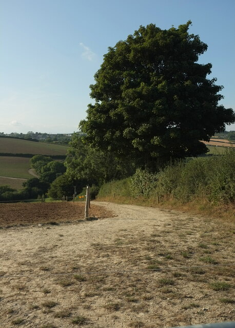
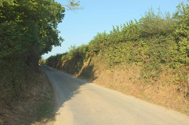
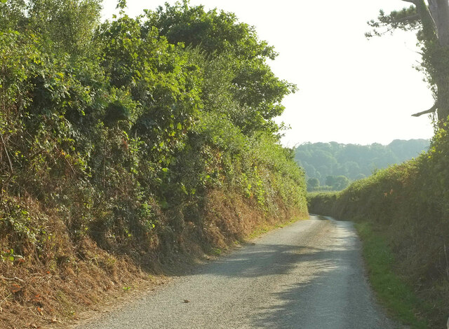
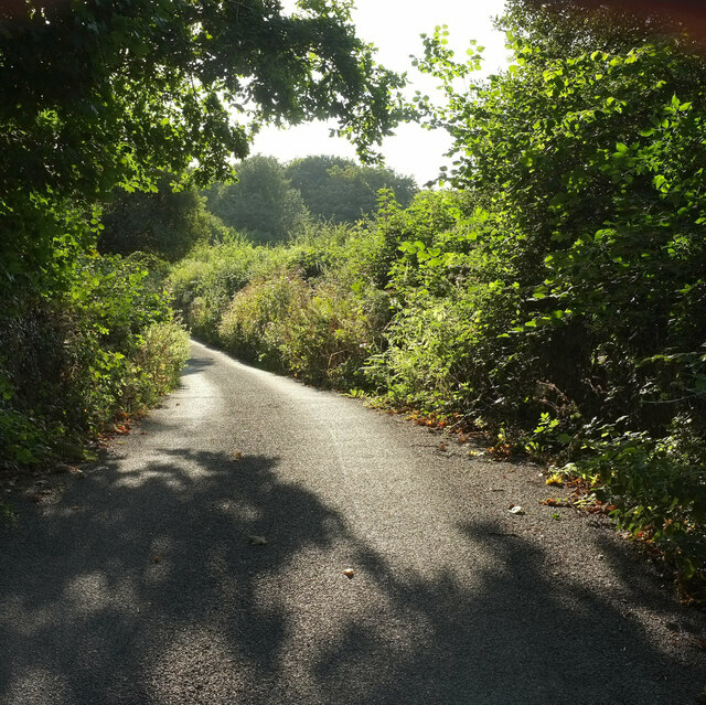
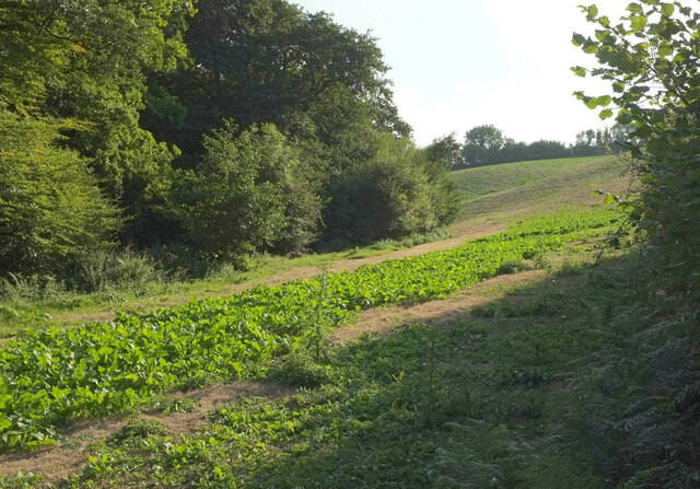
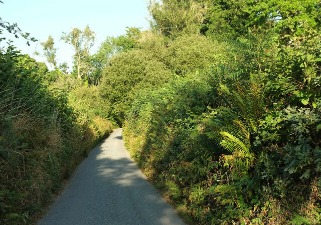
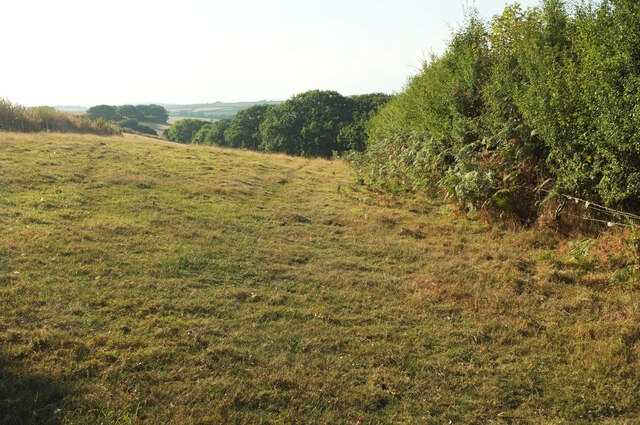
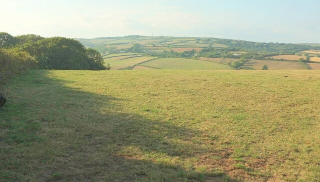
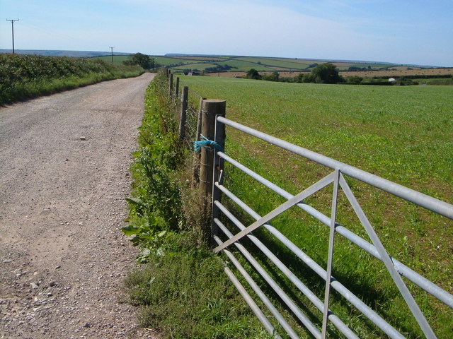
The village is surrounded by lush green fields, rolling hills, and meandering streams, creating a breathtaking backdrop for outdoor enthusiasts. Walking and cycling trails crisscross the area, providing ample opportunities to explore the stunning natural beauty of Devon.

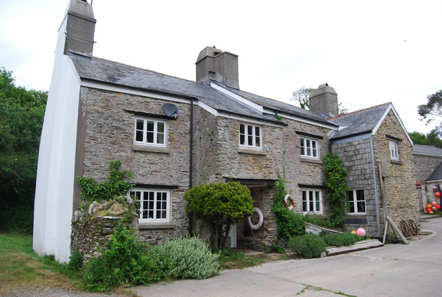
Abbotsleigh is steeped in history, with several historic buildings and landmarks dotting its landscape. The centerpiece of the village is St. Mary's Church, a beautiful medieval church that dates back to the 12th century. Its striking architecture and rich history make it a must-visit for history buffs.

The community spirit in Abbotsleigh is strong, with a range of local events and activities that bring residents together. The village hosts an annual summer fete, where locals and visitors can enjoy live music, traditional games, and delicious food stalls.

For those seeking a taste of rural life, Abbotsleigh offers a range of amenities. There is a cozy village pub, serving up traditional English fare and a friendly atmosphere. A small convenience store caters to the everyday needs of the villagers.

Overall, Abbotsleigh is a charming and vibrant village that offers a peaceful escape from the bustle of city life. Its natural beauty, rich history, and strong sense of community make it an enchanting place to visit or call home.

If you have any feedback on the listing, please let us know in the comments section below.
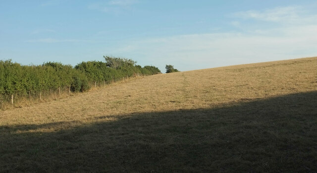
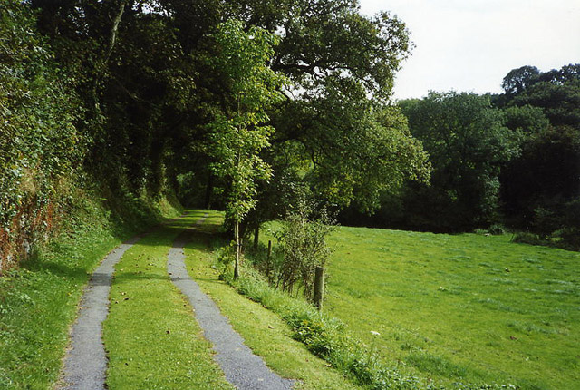
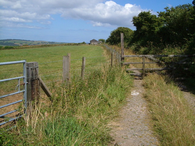
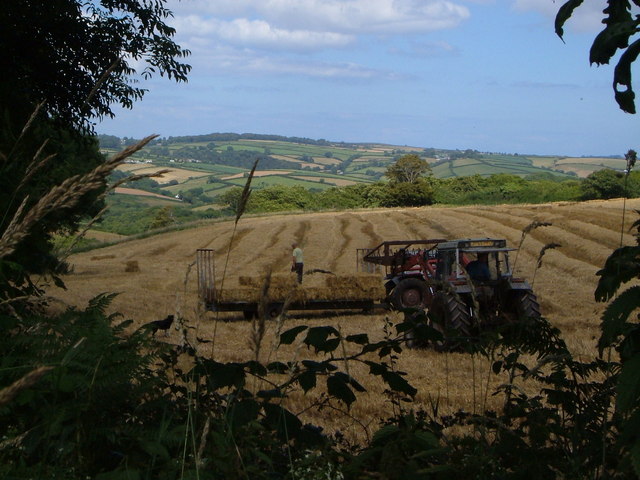
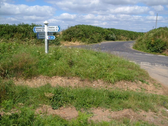
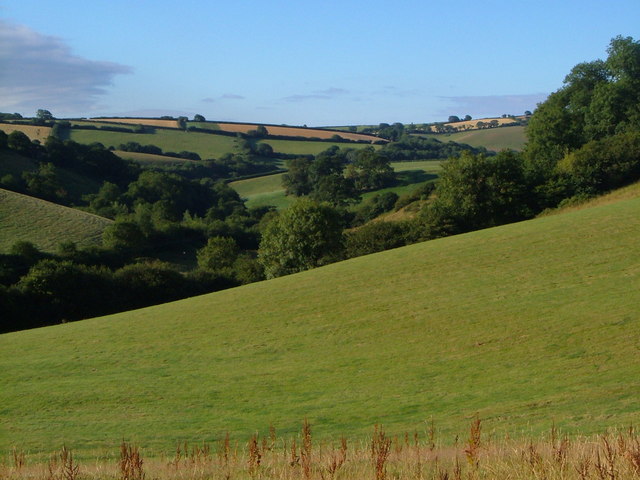
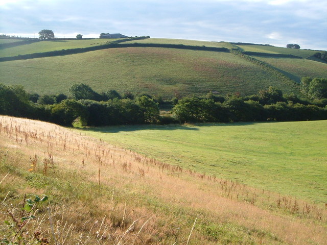
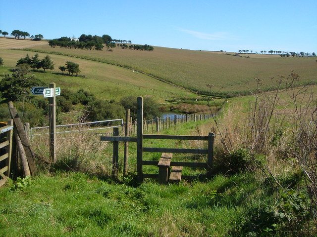
Abbotsleigh Images

Images are sourced within 2km of 50.326828/-3.685865 or Grid Reference SX8048. Thanks to Geograph Open Source API. All images are credited.

Field near Broadley Farm A track leaves the lane between Bow and Pruston Barton to run past a tree and down into the valley of a tributary of the Gara. All very dry during the drought.
Field near Broadley Farm
A track leaves the lane between Bow and Pruston Barton to run past a tree and down into the valley of a tributary of the Gara. All very dry during the drought.
Lane near Pruston Barton Looking right from <a href="https://www.geograph.org.uk/photo/7269513">SX8149 : Field near Broadley Farm</a> up the lane from Bow.
Lane near Pruston Barton
Looking right from SX8149 : Field near Broadley Farm up the lane from Bow.
Lane to Bow Looking left from <a href="https://www.geograph.org.uk/photo/7269513">SX8149 : Field near Broadley Farm</a> and therefore in the opposite direction to <a href="https://www.geograph.org.uk/photo/7273889">SX8149 : Lane near Pruston Barton</a>.
Lane to Bow
Looking left from SX8149 : Field near Broadley Farm and therefore in the opposite direction to SX8149 : Lane near Pruston Barton.
Lane from Millcombe Very close to The Gara on the right, and just crossing one of its many small tribuatries, this lane to Pasture Cross carries NCN28.
Lane from Millcombe
Very close to The Gara on the right, and just crossing one of its many small tribuatries, this lane to Pasture Cross carries NCN28.
Field near Pasture Farm Five years after <a href="https://www.geograph.org.uk/photo/5434376">SX7849 : Field near Pasture Farm</a>, and during the drought of 2022, hence the contrast in colours.
Field near Pasture Farm
Five years after SX7849 : Field near Pasture Farm, and during the drought of 2022, hence the contrast in colours.
Field west of Millcombe Seen from the lane shown in <a href="https://www.geograph.org.uk/photo/1323743">SX7949 : Lane to Millcombe</a>. The trees on the left are alongside a tributary of The Gara.
Field west of Millcombe
Seen from the lane shown in SX7949 : Lane to Millcombe. The trees on the left are alongside a tributary of The Gara.
Lane to Millcombe Looking right from <a href="https://www.geograph.org.uk/photo/7273915">SX7949 : Field west of Millcombe</a>, along the lane shown at <a title="https://www.geograph.org.uk/gridref/SX7949?centi=SX799498&nl=1" href="https://www.geograph.org.uk/gridref/SX7949?centi=SX799498&nl=1">Link</a> .
Lane to Millcombe
Looking right from SX7949 : Field west of Millcombe, along the lane shown at Link .
Field west of Seccombe Farm From the lane between Millcombe and Pasture Cross. A small triangular wood adjoins the field.
Field west of Seccombe Farm
From the lane between Millcombe and Pasture Cross. A small triangular wood adjoins the field.
Field west of Seccombe Farm The field east of <a href="https://www.geograph.org.uk/photo/7274267">SX7849 : Field west of Seccombe Farm</a>, with the same triangular wood now on the left, and a good view to the masts at Stanborough.
Field west of Seccombe Farm
The field east of SX7849 : Field west of Seccombe Farm, with the same triangular wood now on the left, and a good view to the masts at Stanborough.
Field west of Larcombe Farm On the other side of the lane from <a href="https://www.geograph.org.uk/photo/7274267">SX7849 : Field west of Seccombe Farm</a> and <a href="https://www.geograph.org.uk/photo/7274290">SX7849 : Field west of Seccombe Farm</a>.
Field west of Larcombe Farm
Blackawton: near Millcombe A drive doubling as a public footpath runs from/to Washwalk in the Gara valley
Blackawton: near Millcombe
A drive doubling as a public footpath runs from/to Washwalk in the Gara valley
Track to Wallaton Barn Taken from the lane between Slapton and Halwell.
Track to Wallaton Barn
Taken from the lane between Slapton and Halwell.
Harvesting in the South Hams Glimpsed from the lane between Slapton and Halwell, south of Pasture Cross.
Harvesting in the South Hams
Glimpsed from the lane between Slapton and Halwell, south of Pasture Cross.
Pasture Cross Lane junction in heart of the South Hams.
Pasture Cross
Lane junction in heart of the South Hams.
Gara valley below Woodford Interlocking spurs partly obscured by trees as the Gara valley heads away from the camera. Taken from the stretch of lane between Woodford and Hutcherleigh Turn.
Gara valley below Woodford
Interlocking spurs partly obscured by trees as the Gara valley heads away from the camera. Taken from the stretch of lane between Woodford and Hutcherleigh Turn.
Gara valley below Woodford Similar to <a href="https://www.geograph.org.uk/photo/210428">SX7950 : Gara valley below Woodford</a>, but covering the area slightly upstream, with the morning sun (7:49) catching the terracettes on the fields opposite.
Gara valley below Woodford
Similar to SX7950 : Gara valley below Woodford, but covering the area slightly upstream, with the morning sun (7:49) catching the terracettes on the fields opposite.
Pond in valley above Higher Coombe Farm From the junction of East Allington Footpath 4 (over the stile - the two figures are on it) with Bridleway 5, looking across the uppermost of the fishing ponds in the valley southeast of the farm. Big field of maize beyond.
Pond in valley above Higher Coombe Farm
From the junction of East Allington Footpath 4 (over the stile - the two figures are on it) with Bridleway 5, looking across the uppermost of the fishing ponds in the valley southeast of the farm. Big field of maize beyond.
Track to Higher Heathfield Farm From the lane between Wallaton Cross and Dittiscombe Cross, looking along the farm road - a roof can just be seen. Typical upland South Hams scenery, with the appearance of a gently rolling open plateau.
Track to Higher Heathfield Farm
From the lane between Wallaton Cross and Dittiscombe Cross, looking along the farm road - a roof can just be seen. Typical upland South Hams scenery, with the appearance of a gently rolling open plateau.
Show me another place!

Abbotsleigh is located at Grid Ref: SX8048 (Lat: 50.326828, Lng: -3.685865)

Administrative County: Devon

District: South Hams

Police Authority: Devon and Cornwall

What 3 Words

///surprises.swordfish.trunk. Near Kingsbridge, Devon

Nearby Locations

Abbotsleigh

Related Wikis

Abbotsleigh, Devon

Abbotsleigh is a hamlet in the county of Devon, England. Abbotsleigh is in the civil parish of Blackawton, within the district council of South Hams in...

Blackawton

Blackawton is a village and civil parish in the South Hams district of Devon, England. According to the 2001 census, it had a population of 647. Blackawton...

Burlestone

Burlestone is a village in Devon, England. == References ==

Ash, Devon

Ash is a village in Devon, England and is situated approximately 2.5 miles (4 km) south-west of Dartmouth. == References ==

Harleston, Devon

Harleston is a village in Devon, England. == References == The geographic coordinates are from the Ordnance Survey.

Woodlands Family Theme Park

Woodlands Family Theme Park is an all-weather family amusement park and falconry display on the A3122 road, 5 miles from Dartmouth, in South Devon, England...

East Allington

East Allington is a village and civil parish in the South Hams district of Devon, England, three miles (5 km) south of Halwell and just off the A381 road...

Allaleigh

Allaleigh is a village in Devon, England.

Related Videos

South Milton Sands

Fun at South Milton Sands July 2020.

TENT CAMPING AT SEAVIEW CAMPSITE // SLAPTON SANDS // SOUTH HAMS

EDDIE WITHOUT AN MOT, SO I GRABBED A TENT, I GRABBED A FRIEND AND WE WENT CAMPING AT SEAVIEW CAMPSITE ...

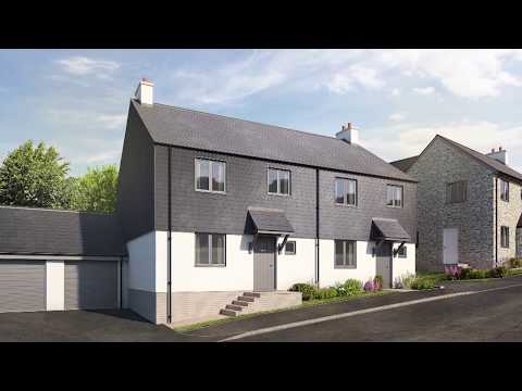
Houses For Sale in Blackawton - French Furze | Linden Homes

This South Devon village is full of character and offers great local amenities, making French Furze the perfect home for growing ...

New Homes for Sale in Blackawton at French Furze | Linden Homes

https://www.lindenhomes.co.uk/frenchfurze Selling now in the attractive and rural South Devon village of Blackawton is French ...

Nearby Amenities

Located within 500m of 50.326828,-3.685865
Newton Cross
Place: locality
Lat/Long: 50.3260048/-3.6828984
Bow Cross
Place: locality
Lat/Long: 50.328103/-3.6819977
Generator Method: photovoltaic
Generator Output Electricity: yes
Generator Source: solar
Generator Type: solar_photovoltaic_panel
Location: roof
Power: generator
Lat/Long: 50.3280998/-3.6859748
Generator Method: photovoltaic
Generator Output Electricity: yes
Generator Source: solar
Generator Type: solar_photovoltaic_panel
Location: roof
Power: generator
Lat/Long: 50.3280988/-3.6859942
The data included in this document is from www.openstreetmap.org. The data is made available under ODbL.

Have you been to Abbotsleigh?

Leave your review of Abbotsleigh below (or comments, questions and feedback).