Abbotswood

Settlement in Surrey Guildford

England

Abbotswood

Sydneham Road Guildford
Sydneham Road Guildford Credit: Roy Hughes

Abbotswood is a charming residential area located in the county of Surrey, England. Situated in the borough of Guildford, Abbotswood offers its residents a peaceful and picturesque setting surrounded by the natural beauty of the Surrey Hills Area of Outstanding Natural Beauty.

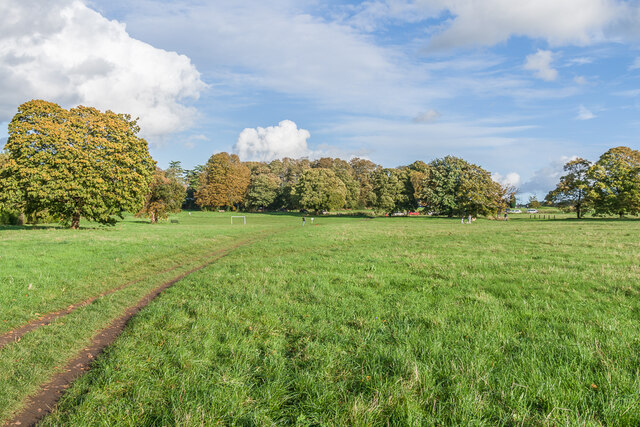
The area is best known for its abundance of green spaces, including numerous parks, woodlands, and open fields. Residents of Abbotswood enjoy the opportunity to explore the great outdoors through various walking trails and cycling paths, which provide stunning views of the surrounding countryside.

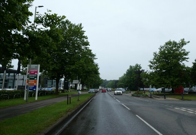
Despite its tranquil atmosphere, Abbotswood benefits from its close proximity to the bustling town of Guildford, just a short drive away. Guildford offers an array of amenities, including shopping centers, restaurants, entertainment venues, and excellent transport links, making it an ideal location for residents seeking both peaceful living and access to urban amenities.

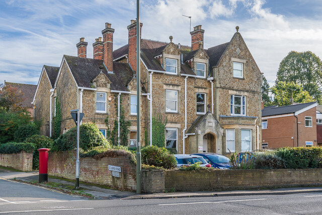
Abbotswood is also home to a range of housing options, from detached houses to modern apartments, catering to a diverse community. The area boasts excellent schools, making it popular among families seeking a safe and nurturing environment for their children's education.

Overall, Abbotswood, Surrey offers a harmonious blend of natural beauty, convenience, and community spirit. Its close proximity to Guildford, combined with its peaceful surroundings, make it an attractive place to reside for those seeking a balance between rural tranquility and urban accessibility.

If you have any feedback on the listing, please let us know in the comments section below.
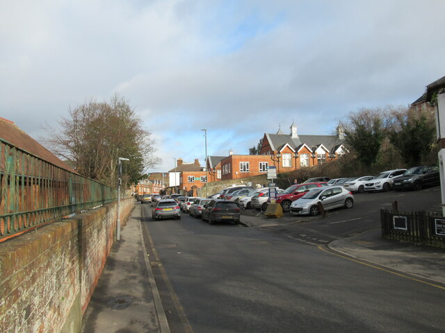
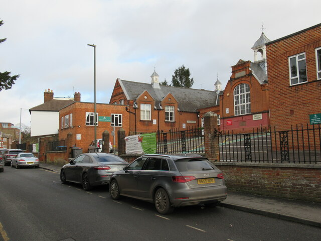
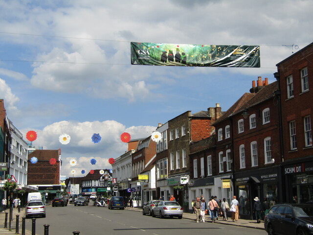
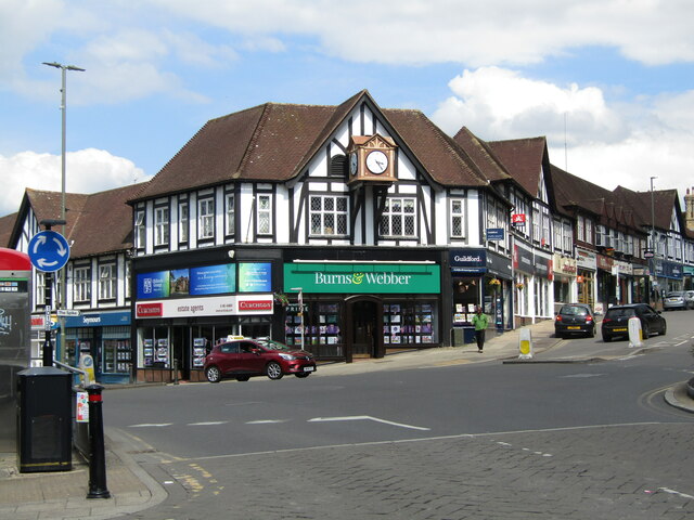
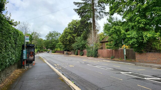
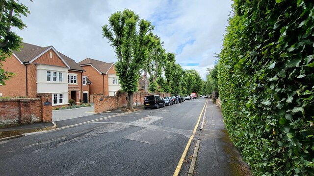
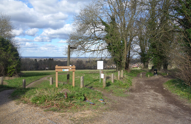
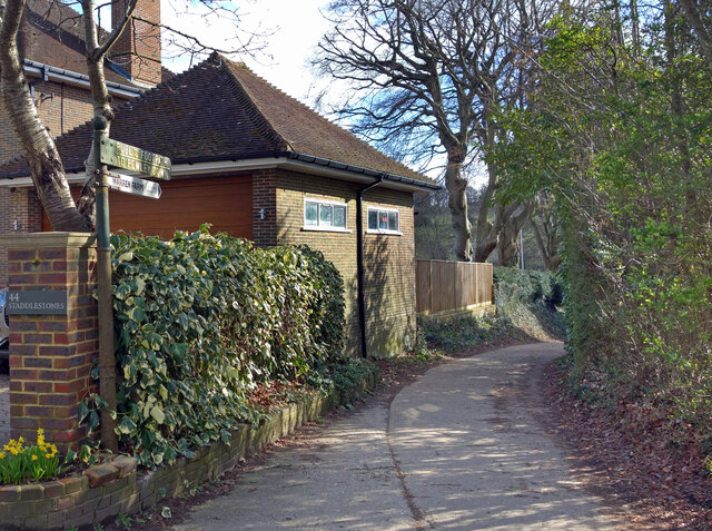
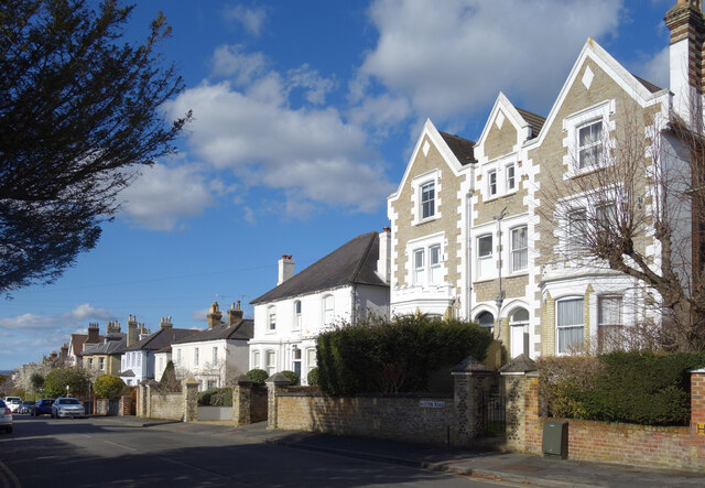
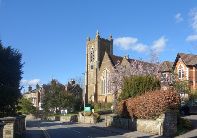
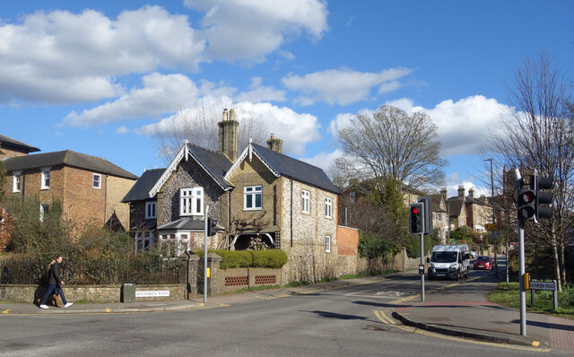
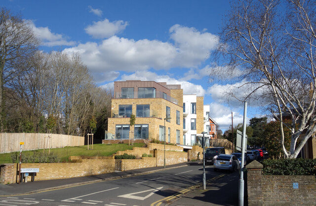
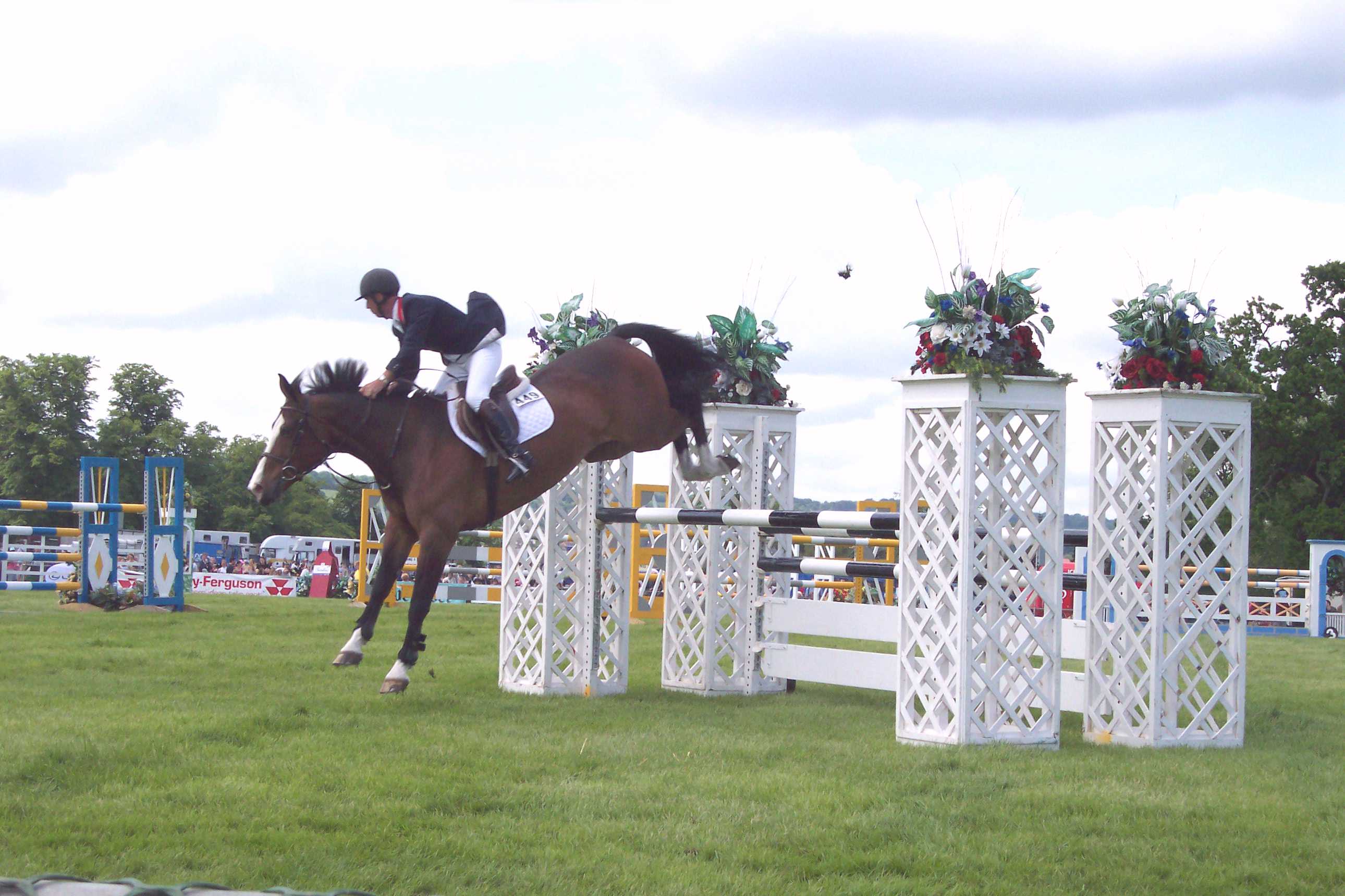
Abbotswood Images

Images are sourced within 2km of 51.251938/-0.559175 or Grid Reference TQ0051. Thanks to Geograph Open Source API. All images are credited.

Sydneham Road Guildford
Sydenham Road at the Guildford Adult Learning Centre
Guildford - Platinum Jubilee 2022 Pop art display in the High Street of the Queen's head on a Union Jack.
Guildford - Platinum Jubilee 2022
Pop art display in the High Street of the Queen's head on a Union Jack.
Guildford - High Street The Upper High Street bedecked with Summer Festival flowers and a banner advertising Guildford School of Acting's (GSA) "Wind in the Willows".
<span class="nowrap"><a title="www.guildford.gov.uk" rel="nofollow ugc noopener" href="http://www.guildford.gov.uk">Link</a><img style="margin-left:2px;" alt="External link" title="External link - shift click to open in new window" src="https://s1.geograph.org.uk/img/external.png" width="10" height="10"/></span>
Guildford - High Street
The Upper High Street bedecked with Summer Festival flowers and a banner advertising Guildford School of Acting's (GSA) "Wind in the Willows". LinkExternal link
Guildford - Top of the Town Distinctive Mock Tudor building with an overhanging clock at the road junction where Guildford High Street forks into London Road (left) and Epsom Road (right). The corner building is occupied by an estate agent, Burns & Webber.
<span class="nowrap"><a title="www.guildford.gov.uk" rel="nofollow ugc noopener" href="http://www.guildford.gov.uk">Link</a><img style="margin-left:2px;" alt="External link" title="External link - shift click to open in new window" src="https://s1.geograph.org.uk/img/external.png" width="10" height="10"/></span>
Guildford - Top of the Town
Distinctive Mock Tudor building with an overhanging clock at the road junction where Guildford High Street forks into London Road (left) and Epsom Road (right). The corner building is occupied by an estate agent, Burns & Webber. LinkExternal link
Bus stops on Epsom Road The A246 main road to Guildford centre.
Bus stops on Epsom Road
The A246 main road to Guildford centre.
Maori Road New houses in a residential street.
Maori Road
New houses in a residential street.
Paths onto Merrow Downs A tract of grassy hillside access land on the edge of Guildford.
Paths onto Merrow Downs
A tract of grassy hillside access land on the edge of Guildford.
Footpath to Warren Farm An old cast iron signpost points along a path to Warren Farm and on up to Pewley Down.
Footpath to Warren Farm
An old cast iron signpost points along a path to Warren Farm and on up to Pewley Down.
Austen Road, Guildford A residential street with smart Victorian villas in an assortment of designs.
Austen Road, Guildford
A residential street with smart Victorian villas in an assortment of designs.
Waterden Road, Guildford In an area of large Victorian houses the Gothic style Christ Church dates from around 1870.
Waterden Road, Guildford
In an area of large Victorian houses the Gothic style Christ Church dates from around 1870.
The end of Waterden Road At the junction with London Road.
The end of Waterden Road
At the junction with London Road.
Clandon Road, Guildford A more recent development in an area of mainly Victorian housing.
Clandon Road, Guildford
A more recent development in an area of mainly Victorian housing.
Merrow Downs Open grassland at the west end of Merrow Downs.
Merrow Downs
Open grassland at the west end of Merrow Downs.
86 Epsom Road Large late 19th/early 20th Century house on the corner of Epsom Road and St Omer Road, now offices of an engineering consultancy.
86 Epsom Road
Large late 19th/early 20th Century house on the corner of Epsom Road and St Omer Road, now offices of an engineering consultancy.
F.G.Barnes to L.I.Brary (5) Junction of Moorfield and Westfield Roads
F.G.Barnes to L.I.Brary (5)
Junction of Moorfield and Westfield Roads
F.G.Barnes to L.I.Brary (6) In Moorfields Road on the Slyfield Industrial Estate
F.G.Barnes to L.I.Brary (6)
In Moorfields Road on the Slyfield Industrial Estate
F.G.Barnes to L.I.Brary (7) In Moorfields Road on the Slyfield Industrial Estate
F.G.Barnes to L.I.Brary (7)
In Moorfields Road on the Slyfield Industrial Estate
Show me another place!

Abbotswood is located at Grid Ref: TQ0051 (Lat: 51.251938, Lng: -0.559175)

Administrative County: Surrey

District: Guildford

Police Authority: Surrey

What 3 Words

///song.bless.global. Near Guildford, Surrey

Nearby Locations

Abbotswood

Related Wikis

Riverside Park, Guildford

Riverside Park is a 61.6-hectare (152-acre) Local Nature Reserve in Guildford in Surrey. It is owned by Guildford Borough Council and the National Trust...
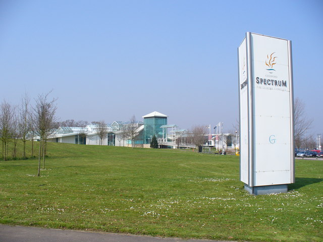
Guildford Spectrum

Guildford Spectrum is a leisure complex in Guildford, Surrey, England. Owned by Guildford Borough Council, it was opened on 23 February 1993 at a cost...

Stoke Park, Guildford

Stoke Park is a 52-hectare (130-acre) park on the edge of the town centre of Guildford, Surrey, England donated to Guildford by the Lord Onslow in 1925...

George Abbot School

George Abbot School is a coeducational secondary school and sixth form with academy status in Burpham, north-east of the town centre of Guildford providing...

Borough of Guildford

The Borough of Guildford is a local government district with borough status in Surrey, England. With around half of the borough's population, Guildford...

Guildford (UK Parliament constituency)

Guildford is a constituency in Surrey represented in the House of Commons of the UK Parliament since 2019 by Angela Richardson, a Conservative. == Constituency... ==

Stoke Mill, Guildford

Stoke Mill is a 19th century corn mill on the River Wey that has been converted into offices. It is situated off the Woking Road just north of Guildford...
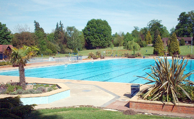
Guildford Lido

Guildford Lido is a public, open-air swimming pool in Guildford, Surrey, England. In Stoke Park, to the north of the town centre, it is surrounded by 1...

Nearby Amenities

Located within 500m of 51.251938,-0.559175
Motorway Junction
Lat/Long: 51.2500623/-0.564757
Tourism: picnic_site
Lat/Long: 51.2546069/-0.5611963
Post Box
Collection Plate: CP1D
Collection Times: Mo-Fr 09:00; Sa 07:00
Last Checked: 2021-03-05
Old Ref: GU1 163
Operator: Royal Mail
Post Box Mounting: brick_pillar
Post Box Type: wall
Ref: GU1 163D
Royal Cypher: GR
Royal Cypher Wikidata: Q33102273
Source: survey
Lat/Long: 51.251234/-0.5544593
Bus Stop
Spectrum Leisure Centre
Addr City: Guildford
Addr Street: Parkway
Local Ref: A
Naptan AtcoCode: 40004407924A
Naptan Bearing: NW
Naptan CommonName: Spectrum Leisure Centre
Naptan Indicator: Stop 1
Naptan Landmark: Spectrum Leisure Centre
Naptan NaptanCode: surawgdp
Naptan PlusbusZoneRef: GUILDFD
Naptan Street: Spectrum Leisure Centre
Naptan Verified: yes
Public Transport: platform
Source: naptan_import
Toilets Wheelchair: no
Wheelchair: yes
Wheelchair Description: Step-free route to Leisure Centre is via a long, steep (1:8, 12%) ramp.
Lat/Long: 51.2486728/-0.5608807
Bus Stop
Spectrum Leisure Centre
Addr City: Guildford
Addr Street: Parkway
Local Ref: B
Naptan AtcoCode: 40004407924B
Naptan Bearing: S
Naptan CommonName: Spectrum Leisure Centre
Naptan Indicator: Stop 2
Naptan Landmark: Spectrum Leisure Centre
Naptan NaptanCode: surgjadm
Naptan PlusbusZoneRef: GUILDFD
Naptan Street: Spectrum Leisure Centre
Naptan Verified: yes
Public Transport: platform
Shelter: yes
Source: naptan_import
Toilets Wheelchair: no
Website: http://nextbuses.mobi/WebView/BusStopSearch/BusStopSearchResults/surgjadm?currentPage=0
Wheelchair: yes
Wheelchair Description: Step-free to Blue Badge spaces in Park & Ride car park >100m. NB. Route 100 to Friary Bus Station is only FREE with Disabled Bus Pass.
Lat/Long: 51.248988/-0.5597883
Power: tower
Lat/Long: 51.2542775/-0.5648561
Urban Saints, Guildford
Sport: soccer
Lat/Long: 51.2480723/-0.5563885
Parking
Parking: street_side
Source: survey
Lat/Long: 51.2525869/-0.5614317
Parking
Parking: street_side
Source: survey
Lat/Long: 51.2526321/-0.5607921
Crossing
Button Operated: yes
Crossing: traffic_signals
Crossing Ref: pelican
Sloped Curb: both
Tactile Paving: yes
Traffic Signals Sound: no
Traffic Signals Vibration: yes
Lat/Long: 51.247995/-0.5595863
Crossing
Button Operated: yes
Crossing: traffic_signals
Crossing Ref: pelican
Sloped Curb: both
Tactile Paving: yes
Traffic Signals Sound: no
Traffic Signals Vibration: yes
Lat/Long: 51.2480565/-0.5597197
Crossing
Button Operated: no
Crossing: traffic_signals
Crossing Island: yes
Sloped Curb: both
Tactile Paving: yes
Traffic Signals Sound: no
Traffic Signals Vibration: no
Lat/Long: 51.2481121/-0.5598956
Bus Stop
Ganghill
Bench: no
Bin: no
Naptan AtcoCode: 40004407246A
Naptan Bearing: N
Naptan CommonName: Ganghill
Naptan Indicator: Just Before
Naptan Landmark: Ganghill
Naptan NaptanCode: surapmwt
Naptan PlusbusZoneRef: GUILDFD
Naptan Street: London Road
Naptan Verified: no
Public Transport: platform
Shelter: no
Source: naptan_import
Lat/Long: 51.2511318/-0.5526518
Fixme: complete crossing details
Tactile Paving: yes
Lat/Long: 51.2489991/-0.5545806
Traffic Signals
Traffic Signals Direction: forward
Lat/Long: 51.2480023/-0.5601149
Traffic Signals
Traffic Signals Direction: forward
Lat/Long: 51.2480022/-0.5595345
Crossing
Button Operated: yes
Crossing: traffic_signals
Sloped Curb: both
Tactile Paving: yes
Traffic Signals Sound: no
Traffic Signals Vibration: yes
Lat/Long: 51.2481534/-0.5597304
Traffic Signals
Traffic Signals Direction: forward
Lat/Long: 51.2481737/-0.5597518
Crossing
Lat/Long: 51.2491702/-0.5599547
Crossing
Lat/Long: 51.2491006/-0.5612461
Bench
Lat/Long: 51.2546739/-0.5610734
Board Type: notice
Information: board
Tourism: information
Lat/Long: 51.2545428/-0.5613103
Crossing
Crossing: unmarked
Tactile Paving: yes
Lat/Long: 51.2494711/-0.5533426
Traffic Signals
Traffic Signals Direction: backward
Lat/Long: 51.2481753/-0.5598883
Abbotswood
Place: suburb
Source: OS OpenMap Local
Wikidata: Q19400402
Lat/Long: 51.2520788/-0.5552345
Board Title: The Fen
Board Type: nature
Information: board
Tourism: information
Lat/Long: 51.2561267/-0.5606644
Covered: no
Leisure: picnic_table
Lat/Long: 51.254606/-0.5611175
Covered: no
Leisure: picnic_table
Lat/Long: 51.2546274/-0.5612683
Bench
Backrest: no
Material: wood
Lat/Long: 51.255641/-0.5625767
Bench
Backrest: no
Material: wood
Lat/Long: 51.255635/-0.562597
Bench
Backrest: no
Material: wood
Lat/Long: 51.2556291/-0.5626174
Bench
Backrest: yes
Material: wood
Lat/Long: 51.2545519/-0.5645312
Bench
Backrest: no
Material: wood
Lat/Long: 51.255155/-0.5634244
Charging Station
Guildford Supercharger
Access: customers
Addr City: Guildford
Addr Country: GB
Addr Postcode: GU1 1UP
Brand: Tesla Supercharger
Brand Wikidata: Q17089620
Capacity: 12
Fee: yes
Opening Hours: 24/7
Operator: Tesla, Inc.
Operator Wikidata: Q478214
Socket Tesla Supercharger Ccs: 12
Socket Tesla Supercharger Ccs Output: 250 kW
Website: https://www.tesla.com/findus/location/supercharger/28501
Lat/Long: 51.2495264/-0.5594873
Crossing
Crossing: unmarked
Crossing Island: no
Crossing Markings: no
Tactile Paving: yes
Lat/Long: 51.2488743/-0.5545466
Crossing
Crossing: unmarked
Crossing Island: no
Crossing Markings: no
Tactile Paving: yes
Lat/Long: 51.2489618/-0.5545448
Crossing
Crossing: unmarked
Crossing Island: no
Crossing Markings: no
Tactile Paving: yes
Lat/Long: 51.249003/-0.5545658
Crossing
Crossing: unmarked
Crossing Island: no
Crossing Markings: no
Tactile Paving: yes
Lat/Long: 51.2491266/-0.5535943
Crossing
Crossing: unmarked
Crossing Island: no
Crossing Markings: no
Tactile Paving: yes
Lat/Long: 51.2492224/-0.5538092
The data included in this document is from www.openstreetmap.org. The data is made available under ODbL.

Have you been to Abbotswood?

Leave your review of Abbotswood below (or comments, questions and feedback).