Minchin Hill
Hill, Mountain in Hampshire Test Valley
England
Minchin Hill
Minchin Hill is a prominent landmark located in the county of Hampshire, England. Situated near the village of Minchinhampton in the Cotswold Hills, this hill provides stunning panoramic views of the surrounding countryside. Although referred to as a hill, it is often considered as a small mountain due to its significant elevation and distinct prominence in the region.
With an altitude of approximately 290 meters (951 feet), Minchin Hill offers visitors a picturesque setting for outdoor activities such as hiking, walking, and nature exploration. The hill is covered in lush greenery, including grassy slopes and scattered trees, providing an ideal habitat for various flora and fauna.
At the summit of Minchin Hill, one can marvel at the breathtaking vistas that stretch across the rolling countryside and nearby towns. On a clear day, the view extends as far as the Severn Estuary and the distant Welsh mountains. The hill's strategic location makes it a popular spot for photographers and nature enthusiasts, who often visit to capture the stunning landscapes and picturesque sunsets.
Minchin Hill holds historical significance as well, with remnants of Iron Age forts and ancient burial mounds scattered across its slopes. These archaeological features provide insights into the area's rich cultural heritage and attract history enthusiasts.
Overall, Minchin Hill in Hampshire is a natural marvel that combines stunning vistas, outdoor recreational opportunities, and historical significance. Whether you are seeking a peaceful walk in nature, a challenging hike, or a glimpse into the past, Minchin Hill is a must-visit destination for locals and tourists alike.
If you have any feedback on the listing, please let us know in the comments section below.
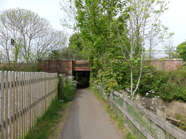
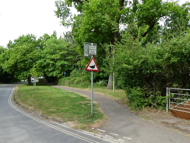
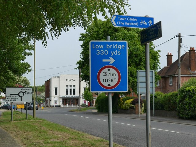
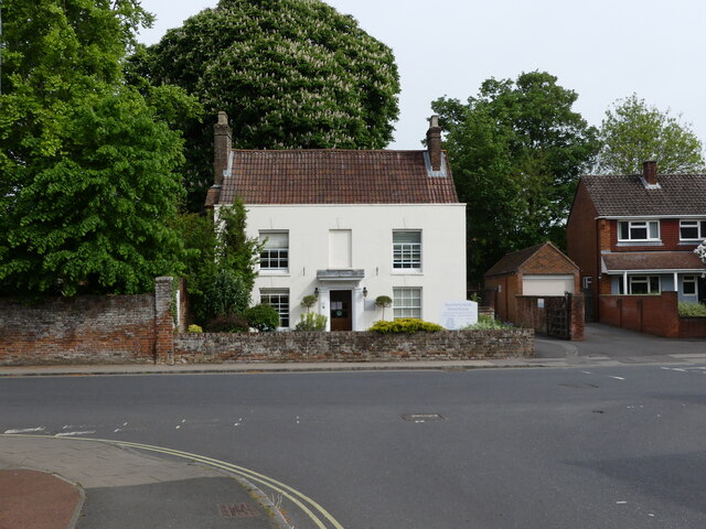
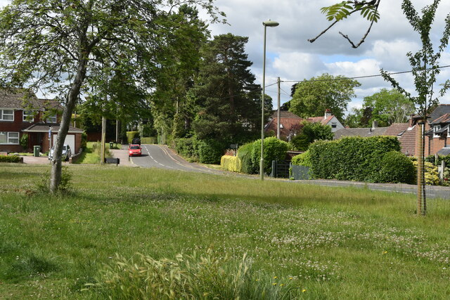
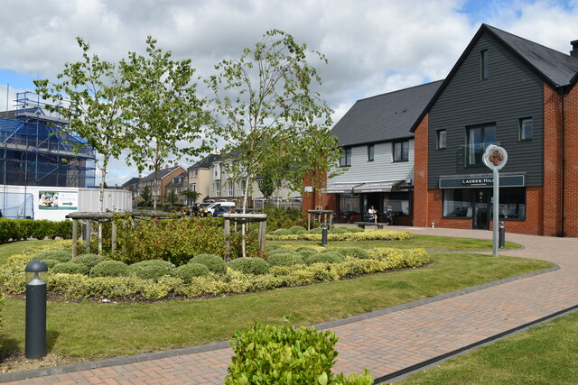
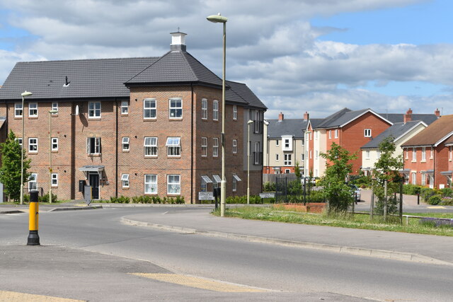
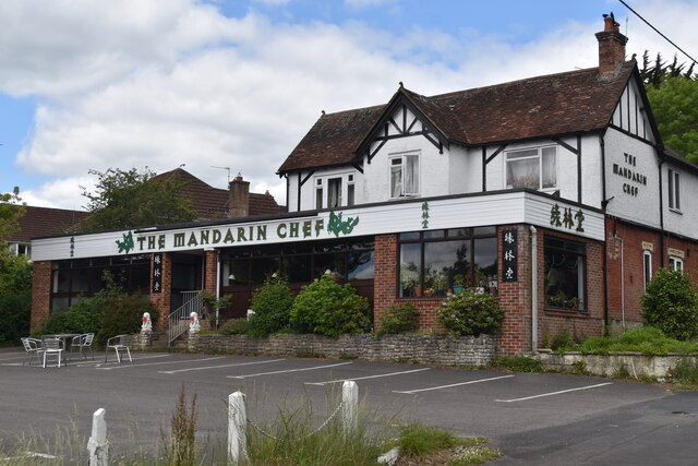
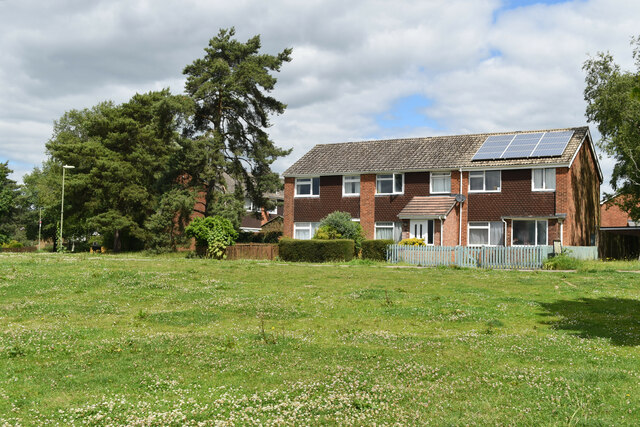
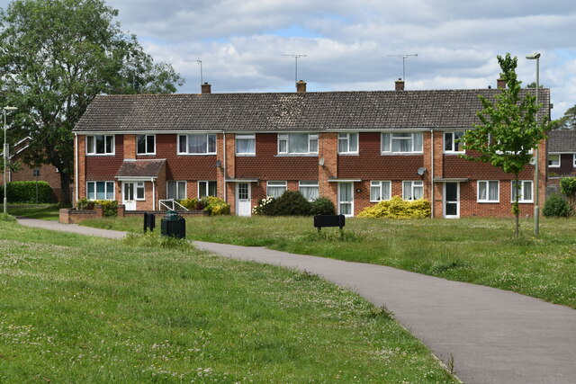
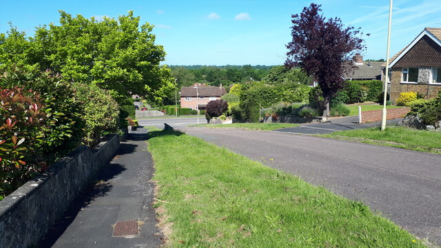
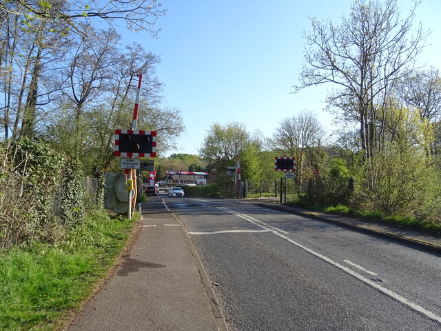
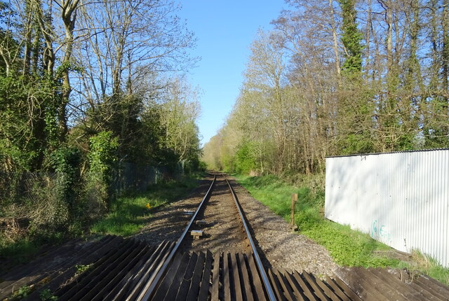
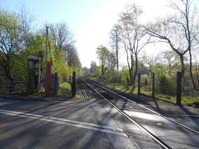
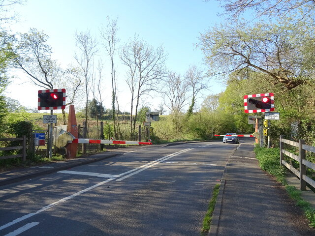
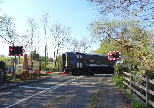
Minchin Hill Images
Images are sourced within 2km of 51.005449/-1.4848076 or Grid Reference SU3623. Thanks to Geograph Open Source API. All images are credited.
Minchin Hill is located at Grid Ref: SU3623 (Lat: 51.005449, Lng: -1.4848076)
Administrative County: Hampshire
District: Test Valley
Police Authority: Hampshire
What 3 Words
///bulldozer.fights.chilling. Near Romsey, Hampshire
Nearby Locations
Related Wikis

Romsey (UK Parliament constituency)
Romsey was a seat of the House of Commons of the UK Parliament 1983–2010 which accordingly (as with all seats since 1950) elected one Member of Parliament...

Abbotswood, Hampshire
Abbotswood is a new 52-hectare building development planned to have 800 homes. It is located just to the north east of the town of Romsey in the Test Valley...
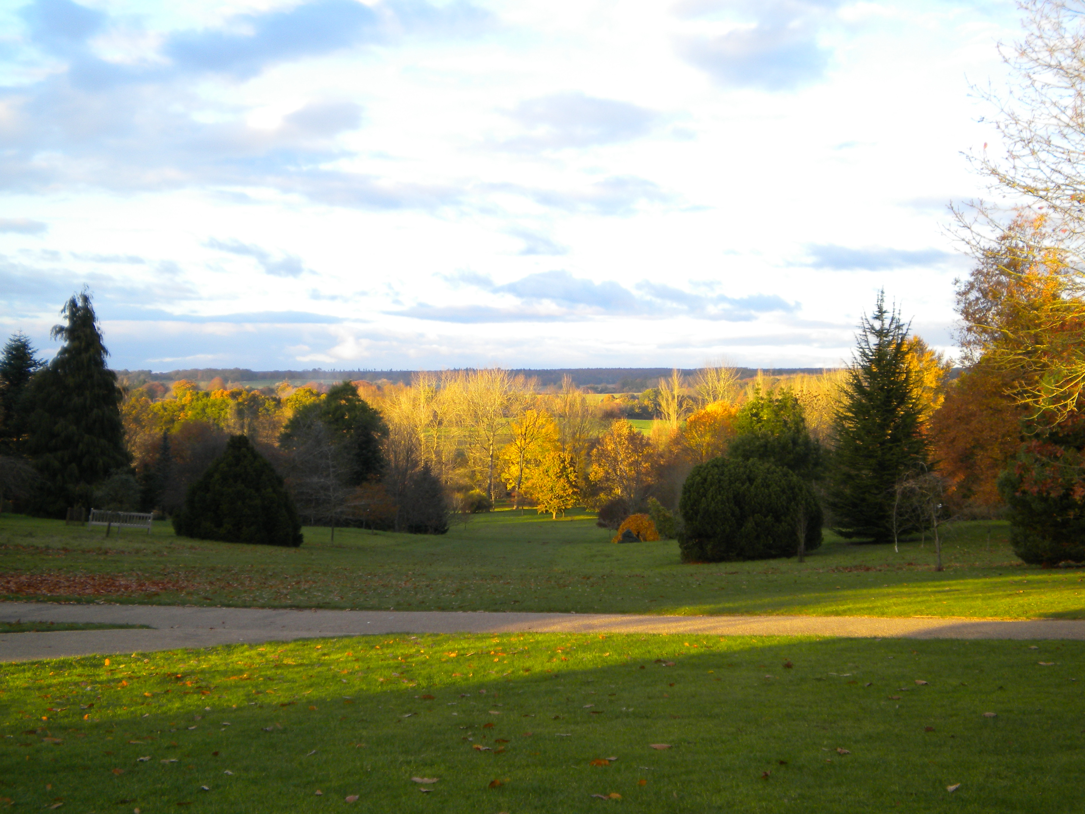
Sir Harold Hillier Gardens
The Sir Harold Hillier Gardens is an arboretum comprising 72 hectares (180 acres) accommodating over 42,000 trees and shrubs in about 12,000 taxa, notably...

Romsey Community Hospital
The Romsey Community Hospital is a hospital in Romsey, England. the current site opened in 1931 and is operated by the Southern Health NHS Foundation Trust...

Romsey railway station
Romsey railway station serves the town of Romsey in Hampshire, England. It is on the Wessex Main Line, at the junction for the Eastleigh to Romsey Line...

Tadburn Meadows
Tadburn Meadows is a 5.1-hectare (13-acre) Local Nature Reserve in Romsey in Hampshire. It is owned and managed by Test Valley Borough Council.Tadburn...

The Romsey School
The Romsey School is a mixed community academy in Romsey, Hampshire, England. The school was a secondary modern, called Romsey County Secondary School...
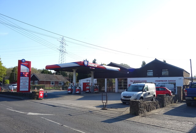
Crampmoor
Crampmoor is a village and civil parish in the Test Valley district of Hampshire, England. It is in the civil parish of Romsey Extra. Its nearest town...
Related Videos

Holiday photo/video Montage
Yep... I didn't upload because I was on holiday... but I'm back now and will be uploading as usual :) Times: ...
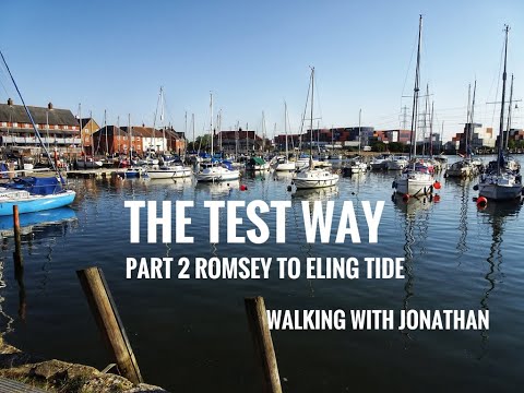
Test Way Pt 2 - Romsey to Eling Tide (8 Miles ish)
I walked from Eling Tide to Romsey and then back, this video shows the walk back. It a very flat walk with easy to follow signage.

Nearby Amenities
Located within 500m of 51.005449,-1.4848076Have you been to Minchin Hill?
Leave your review of Minchin Hill below (or comments, questions and feedback).