Woodside

Settlement in Hampshire

England

Woodside

Archway at Quarr Abbey These outbuildings next to the abbey are made out of local stone and are quite different in appearance to the red brick abbey itself.
Archway at Quarr Abbey Credit: Des Blenkinsopp

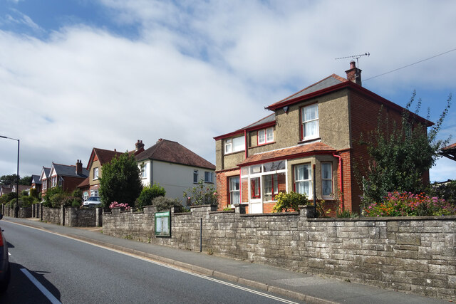
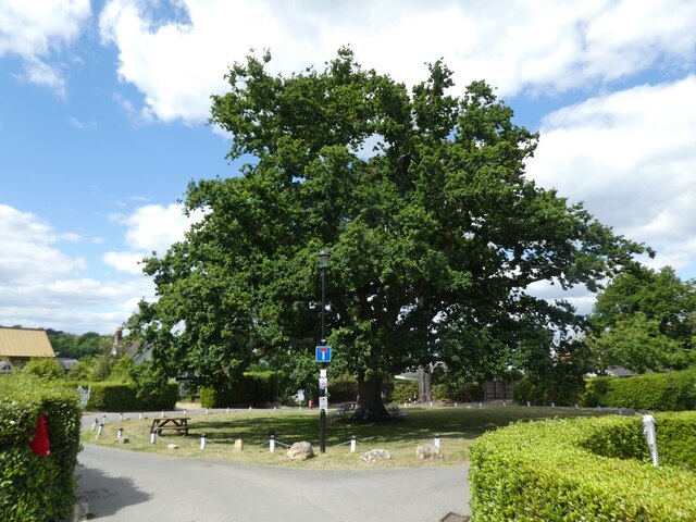
Woodside is a small village located in the county of Hampshire, in the southern part of England. Situated just south of the town of Winchester, Woodside is nestled within the picturesque South Downs National Park, offering residents and visitors stunning natural beauty and a tranquil environment.

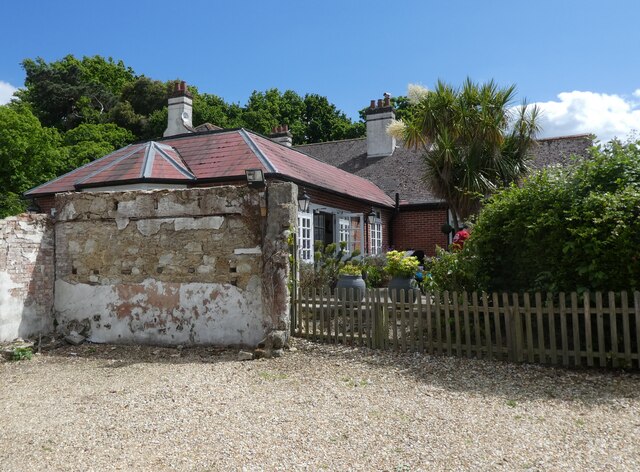
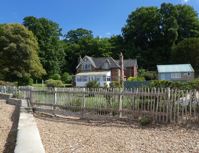
The village itself is characterized by its charming rural atmosphere, with a scattering of traditional cottages and farmhouses surrounded by rolling green fields and woodland. The local community is close-knit and friendly, creating a welcoming atmosphere for both residents and newcomers.

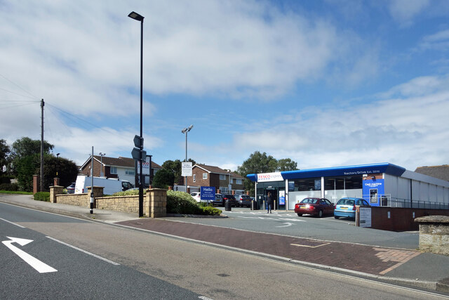
Despite its peaceful setting, Woodside is conveniently located near major transport links. The A272 road runs nearby, providing easy access to Winchester and other nearby towns. The village is also served by regular bus services, connecting it to the wider region.

Woodside offers limited amenities, with a small village hall and a local pub serving as social hubs for the community. However, residents can easily access a wide range of services and facilities in the nearby town of Winchester, including shops, schools, healthcare facilities, and recreational activities.

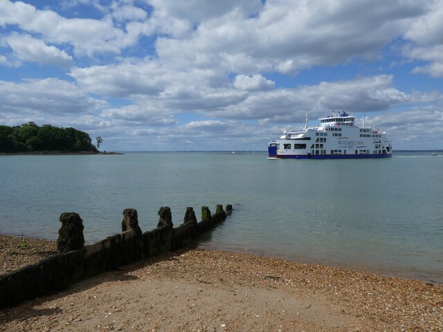
For those who enjoy outdoor pursuits, Woodside is an ideal location. The South Downs National Park offers numerous walking and cycling trails, allowing residents to explore the stunning countryside and take in breathtaking views. The nearby River Itchen also provides opportunities for fishing and boating.

Overall, Woodside, Hampshire is a charming village that offers a peaceful and idyllic lifestyle, surrounded by natural beauty and within easy reach of essential amenities.

If you have any feedback on the listing, please let us know in the comments section below.
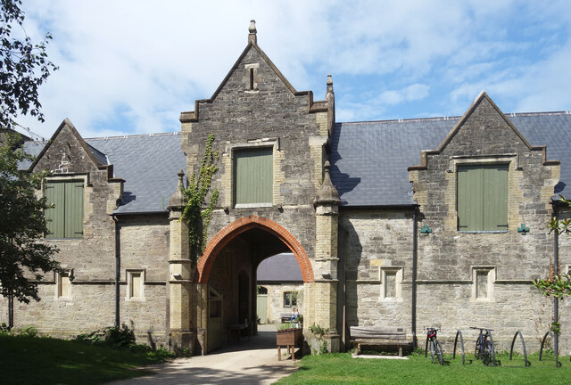
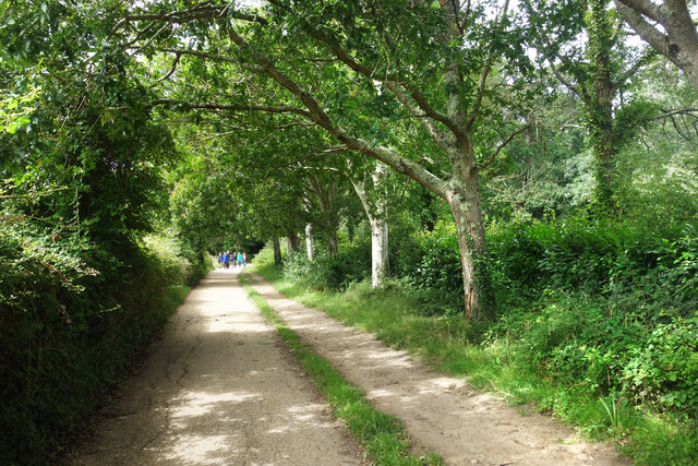
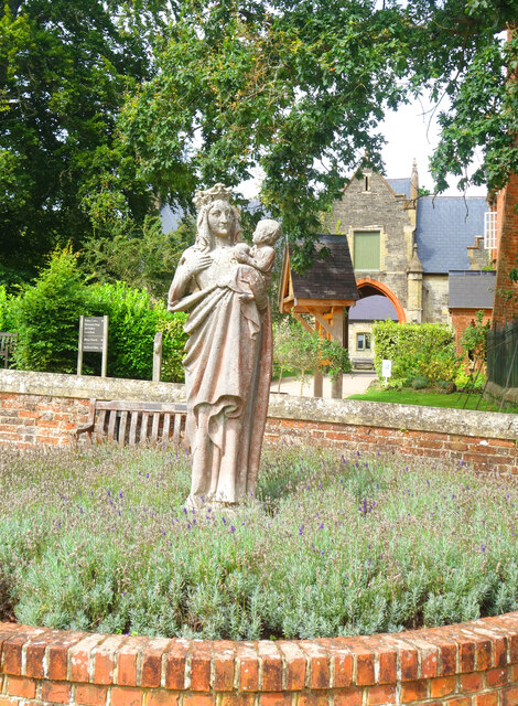
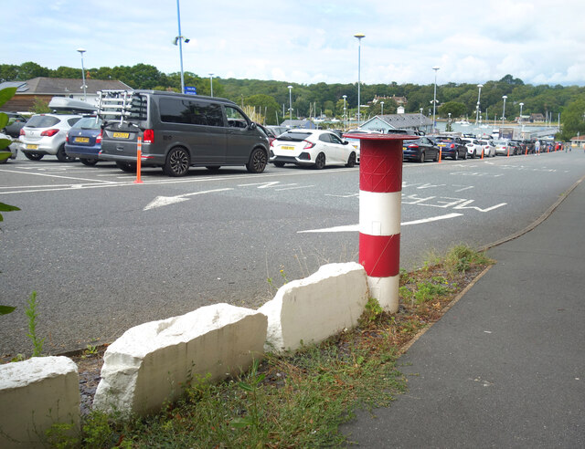
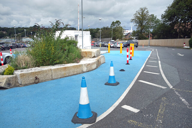
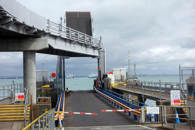
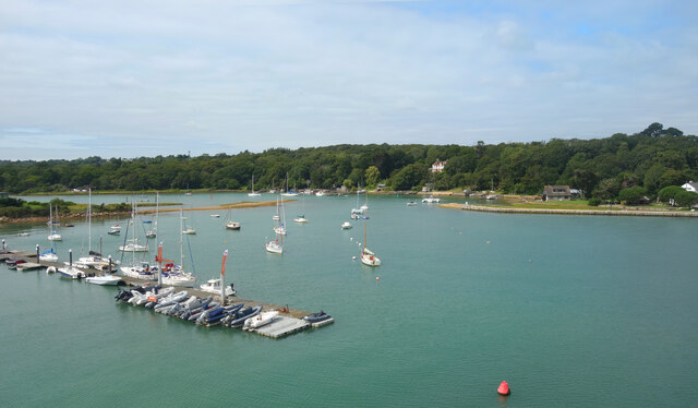
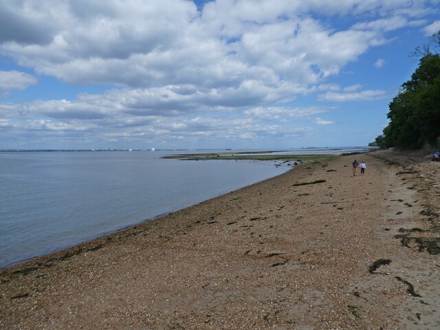
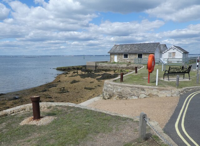
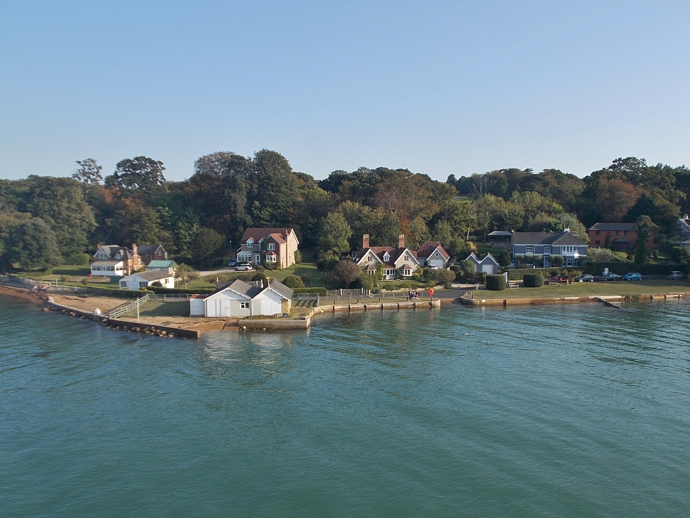
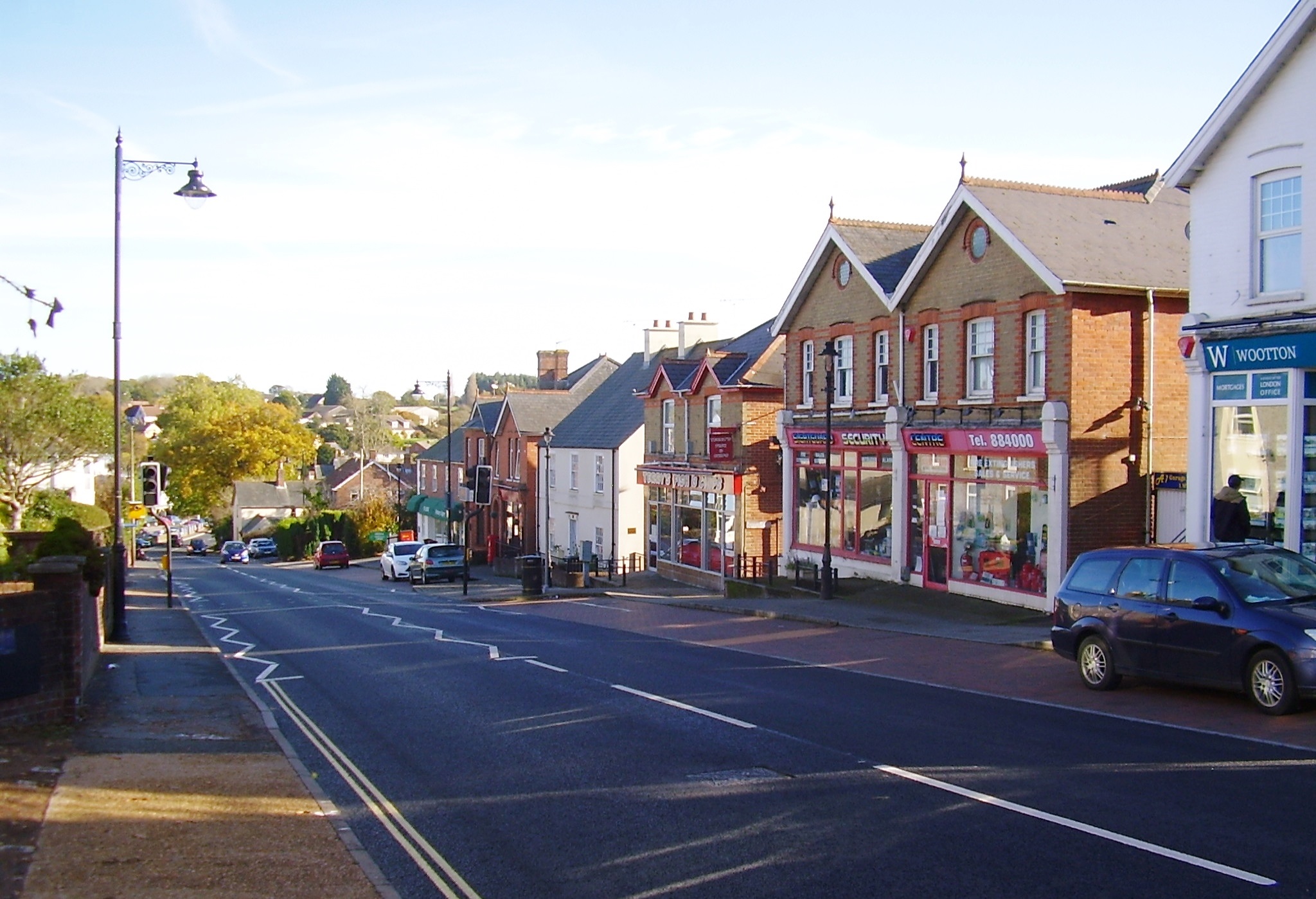
Woodside Images

Images are sourced within 2km of 50.736391/-1.2190142 or Grid Reference SZ5593. Thanks to Geograph Open Source API. All images are credited.

Archway at Quarr Abbey These outbuildings next to the abbey are made out of local stone and are quite different in appearance to the red brick abbey itself.
Archway at Quarr Abbey
These outbuildings next to the abbey are made out of local stone and are quite different in appearance to the red brick abbey itself.
Quarr Road A leafy avenue between the present abbey and the ruins of its medieval predecessor. Part of the Isle of Wight Coast Path.
Quarr Road
A leafy avenue between the present abbey and the ruins of its medieval predecessor. Part of the Isle of Wight Coast Path.
Quarr Abbey Tower The abbey buildings rise above the surrounding trees.
Quarr Abbey Tower
The abbey buildings rise above the surrounding trees.
Madonna & Child, Quarr Abbey A statue in the abbey garden.
Madonna & Child, Quarr Abbey
A statue in the abbey garden.
Quarr Abbey Another picture of the impressive brick built abbey which was constructed between 1907 and 1912 to the designs of one of the monks.
Quarr Abbey
Another picture of the impressive brick built abbey which was constructed between 1907 and 1912 to the designs of one of the monks.
The Shore, Binstead The sign on the path leading down here from the road says "to the shore."
Not to the beach, an important difference. A mess of mud, seaweed, shingle and a lot of dead wood, this is a decidedly uncharismatic bit of coastline.
The Shore, Binstead
The sign on the path leading down here from the road says "to the shore." Not to the beach, an important difference. A mess of mud, seaweed, shingle and a lot of dead wood, this is a decidedly uncharismatic bit of coastline.
Houses on Wootton High Street An old Isle of Wight Railway notice board is on the wall.
Houses on Wootton High Street
An old Isle of Wight Railway notice board is on the wall.
Tesco Express, Wootton
"The Needles" at the Ferry Port By the pedestrian entrance to the IOW ferry terminal at Fishbourne.
A model of the island's famous rocks and lighthouse at the western end.
A bit of concrete, a bit of pipe, a bit of paint and a bit of imagination.
"The Needles" at the Ferry Port
By the pedestrian entrance to the IOW ferry terminal at Fishbourne. A model of the island's famous rocks and lighthouse at the western end. A bit of concrete, a bit of pipe, a bit of paint and a bit of imagination.
Cones & Colours The entrance to the ferry terminal at Fishbourne.
Cones & Colours
The entrance to the ferry terminal at Fishbourne.
12:13 at the Dock By the two vehicle loading ramps at Fishbourne ferry terminal. The arriving and departing boats are passing each other mid shot.
12:13 at the Dock
By the two vehicle loading ramps at Fishbourne ferry terminal. The arriving and departing boats are passing each other mid shot.
Moorings on Wootton Creek Like other tidal estuaries on both sides of The Solent, Wootton Creek is home to a fleet of small boats.
Moorings on Wootton Creek
Like other tidal estuaries on both sides of The Solent, Wootton Creek is home to a fleet of small boats.
Roundabout on Fishbourne Lane
The Fishbourne Inn
The Fishbourne Inn
Seafront cottage, Fishbourne
A Wightlink ferry arrives from Portsmouth
The foreshore at Fishbourne
Slipway at Fishbourne
Show me another place!

Woodside is located at Grid Ref: SZ5593 (Lat: 50.736391, Lng: -1.2190142)

Unitary Authority: Isle of Wight

Police Authority: Hampshire

What 3 Words

///locals.quits.minivans. Near Wootton, Isle of Wight

Related Wikis

Fishbourne, Isle of Wight

Fishbourne is a village between Wootton and Ryde, on the Isle of Wight. The name "Fishbourne" might mean "stream of fish" or "fish spring."It is positioned...

Isle of Wight Festival 1969

The 1969 Isle of Wight Festival was held on 29–31 August 1969 at Wootton Creek, on the Isle of Wight. The festival attracted an audience of approximately...
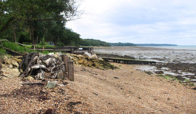
Wootton Creek

Wootton Creek is a tidal estuary that flows into the Solent on the north coast of the Isle of Wight. The estuary has also been known in the past as "Fishbourne...

Quarr Abbey House

The Quarr Abbey House was one of several houses constructed along the north coast of the Isle of Wight in southern England. Built in the 19th century from...

St Edmund's Church, Wootton

St. Edmund's Church, Wootton is a parish church in the Church of England located in Wootton, Isle of Wight. == History == The church is medieval in origin...

Wootton Bridge

Wootton Bridge is a large village, civil parish and electoral ward with about 3,000 residents on the Isle of Wight, first recorded around the year 1086...
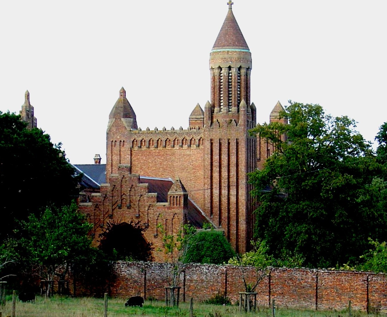
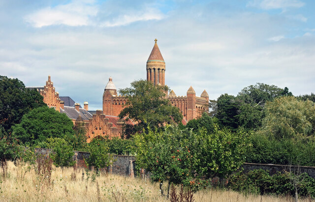
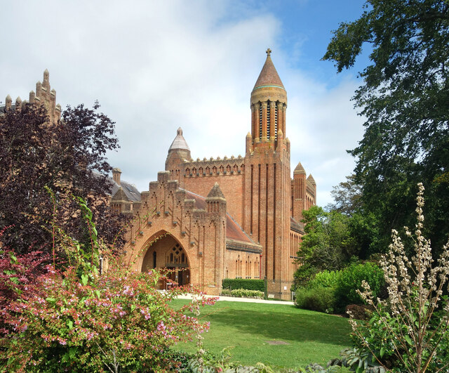
Quarr Abbey

Quarr Abbey (French: Abbaye Notre-Dame de Quarr) is a monastery between the villages of Binstead and Fishbourne on the Isle of Wight in southern England...

St Mark's Church, Wootton

St. Mark's Church, Wootton is a church in the Church of England located in Wootton, Isle of Wight. == History == The church dates from 1909 and was designed...

Nearby Amenities

Located within 500m of 50.736391,-1.2190142
Ferry Terminal
Fishbourne Car Ferry terminal
Bicycle: yes
Ferry: yes
Foot: yes
Motor Vehicle: yes
Operator: Wightlink
Public Transport: stop_position
Lat/Long: 50.7343475/-1.2134139
Source: PGS
Lat/Long: 50.7363977/-1.2145453
Source: PGS
Lat/Long: 50.7361533/-1.2150345
Source: PGS
Lat/Long: 50.7357877/-1.2155404
Source: PGS
Lat/Long: 50.7356034/-1.2165005
Source: PGS
Lat/Long: 50.7358717/-1.2166009
Source: PGS
Lat/Long: 50.7359851/-1.2170373
Source: PGS
Lat/Long: 50.7359343/-1.2174024
Source: PGS
Lat/Long: 50.7358563/-1.2176254
Source: PGS
Lat/Long: 50.7356945/-1.2179684
Source: PGS
Lat/Long: 50.7354403/-1.2186334
Source: PGS
Lat/Long: 50.7353163/-1.2188404
Source: PGS
Lat/Long: 50.7350673/-1.2192528
Source: PGS
Lat/Long: 50.7341972/-1.2197941
Source: PGS
Lat/Long: 50.7327472/-1.220058
Source: PGS
Lat/Long: 50.7321659/-1.2201071
Source: PGS
Lat/Long: 50.7334463/-1.2174238
Source: PGS
Lat/Long: 50.7335969/-1.2175585
Source: PGS
Lat/Long: 50.7346373/-1.2166693
Source: PGS
Lat/Long: 50.7342354/-1.2162293
Source: PGS
Lat/Long: 50.7339042/-1.2159604
Source: PGS
Lat/Long: 50.7339225/-1.215202
Source: PGS
Lat/Long: 50.7339281/-1.2149776
Post Box
Operator: Royal Mail
Operator Wikidata: Q638098
Post Box Mounting: pier
Post Box Type: lamp
Ref: PO33 34
Ref GB Uprn: 10023711299
Website: https://www.royalmail.com/services-near-you/postbox/woodside-po33-4aa/0000PO3334
Lat/Long: 50.733655/-1.22438
Cafe
Creek Café
Addr City: Fishbourne
Addr Housename: Car Ferry Terminal
Addr Postcode: PO33 4EU
Addr Street: Fishbourne Lane
Cuisine: cake;coffee;tea;sandwich
Internet Access: yes
Internet Access Fee: no
Operator: Wightlink
Outdoor Seating: yes
Lat/Long: 50.7333037/-1.2141636
Access: yes
Barrier: lift_gate
Bicycle: yes
Lat/Long: 50.734056/-1.2138049
Crossing
Crossing: unmarked
Crossing Markings: no
Kerb: no
Tactile Paving: no
Lat/Long: 50.7337163/-1.2243492
Seamark Light 1 Character: Oc
Seamark Light 1 Colour: green
Seamark Light 1 Period: 10
Seamark Light 1 Sector End: 224.3
Seamark Light 1 Sector Start: 220.8
Seamark Light 1 Sequence: 8+(2)
Seamark Light 2 Character: Oc
Seamark Light 2 Colour: white
Seamark Light 2 Period: 10
Seamark Light 2 Sector End: 225.8
Seamark Light 2 Sector Start: 224.3
Seamark Light 2 Sequence: 8+(2)
Seamark Light 3 Character: Oc
Seamark Light 3 Colour: red
Seamark Light 3 Period: 10
Seamark Light 3 Sector End: 230.8
Seamark Light 3 Sector Start: 225.8
Seamark Light 3 Sequence: 8+(2)
Seamark Light Reference: A 0665.8
Seamark Type: light_major
Lat/Long: 50.7339567/-1.2142615
Stop
Note: implicit
Lat/Long: 50.7334074/-1.213974
Give Way
Lat/Long: 50.7334612/-1.2140814
Stop
Note: implicit
Lat/Long: 50.7334327/-1.2138938
Stop
Note: marked
Lat/Long: 50.7334448/-1.2138562
Stop
Note: implicit
Lat/Long: 50.7334204/-1.2139352
Stop
Note: implicit
Lat/Long: 50.7333967/-1.2140088
Leisure: slipway
Lat/Long: 50.7358568/-1.2163946
Defibrillator
Emergency: defibrillator
Indoor: no
Lat/Long: 50.733227/-1.2140557
Leisure: slipway
Lat/Long: 50.733896/-1.2146974
Leisure: slipway
Lat/Long: 50.7328095/-1.2176263
Little Canada Adventure Centre
Place: locality
Lat/Long: 50.7336881/-1.2228459
Addr Housename: Bodwen Court
Addr Street: Woodside Road
Lat/Long: 50.737674/-1.2158105
Leisure: slipway
Lat/Long: 50.7399536/-1.2227225
Hiking: yes
Information: guidepost
Tourism: information
Lat/Long: 50.736899/-1.2163362
Turning Circle
Lat/Long: 50.7377905/-1.2237746
Turning Circle
Lat/Long: 50.738995/-1.222809
Turning Circle
Lat/Long: 50.7381636/-1.2253267
Turning Circle
Lat/Long: 50.7380289/-1.2227649
Turning Circle
Lat/Long: 50.7373771/-1.2229666
Turning Circle
Lat/Long: 50.7383091/-1.2232888
Turning Circle
Lat/Long: 50.7385997/-1.2230891
Tourism: chalet
Lat/Long: 50.7389172/-1.2232517
Power: substation
Ref GB Uprn: 10024893364
Lat/Long: 50.7365801/-1.2229175
Parking
Access: customers
Fee: no
Parking: surface
Lat/Long: 50.7328121/-1.222339
Parking
Access: private
Parking: surface
Lat/Long: 50.7325543/-1.2223812
Access: customers
Leisure: playground
Operator: Little Canada
Lat/Long: 50.7334928/-1.2242331
Access: customers
Leisure: playground
Operator: Little Canada
Lat/Long: 50.7333286/-1.2238259
Parking
Lat/Long: 50.7379676/-1.2249059
Parking
Lat/Long: 50.7386305/-1.2247396
Parking
Lat/Long: 50.7388217/-1.224701
Parking
Lat/Long: 50.7378692/-1.2253056
Parking
Lat/Long: 50.7381952/-1.2252822
Parking
Lat/Long: 50.7380618/-1.2244391
Parking
Lat/Long: 50.7379787/-1.2227641
Parking
Lat/Long: 50.7374309/-1.2229844
Turning Circle
Lat/Long: 50.7390076/-1.2246082
Parking
Lat/Long: 50.7386499/-1.2241993
Parking
Lat/Long: 50.7390017/-1.2245035
Parking
Lat/Long: 50.7390531/-1.2246876
Parking
Lat/Long: 50.7385024/-1.2241148
Parking
Lat/Long: 50.7386285/-1.2231044
Parking
Lat/Long: 50.7382714/-1.2233139
Parking
Lat/Long: 50.7389622/-1.2227394
Parking
Lat/Long: 50.7383205/-1.2229553
Parking
Lat/Long: 50.7391208/-1.2229745
Power: substation
Ref GB Uprn: 10025636357
Lat/Long: 50.7368538/-1.2224044
Parking
Lat/Long: 50.7389522/-1.2235594
Access: destination
Barrier: swing_gate
Lat/Long: 50.7336149/-1.2140511
Fixme: check for turn restriction
Lat/Long: 50.7336613/-1.2142425
Crossing
Crossing: marked
Crossing Island: no
Crossing Ref: zebra
Lat/Long: 50.7336088/-1.2138897
Crossing
Crossing: marked
Crossing Island: no
Crossing Ref: zebra
Lat/Long: 50.7335609/-1.2140431
Crossing
Crossing: marked
Crossing Island: no
Crossing Ref: zebra
Lat/Long: 50.7335254/-1.2141567
Direction: 60
Man Made: surveillance
Mapillary: 1209599789472950
Source: mapillary
Source Date: 2020-06-29
Surveillance Type: camera
Lat/Long: 50.7340921/-1.2138224
Street Lamp
Man Made: surveillance
Surveillance Type: camera
Lat/Long: 50.7335257/-1.2142058
Crossing
Crossing: marked
Crossing Island: no
Crossing Ref: zebra
Lat/Long: 50.7335767/-1.2139926
Seamark Buoy Lateral Category: starboard
Seamark Buoy Lateral Colour: green
Seamark Buoy Lateral Shape: conical
Seamark Buoy Lateral System: iala-a
Seamark Type: buoy_lateral
Lat/Long: 50.7321075/-1.2185571
Seamark Beacon Special Purpose Colour: black
Seamark Beacon Special Purpose Shape: pile
Seamark Type: beacon_special_purpose
Lat/Long: 50.7334147/-1.2181011
Seamark Beacon Lateral Category: port
Seamark Beacon Lateral Colour: red
Seamark Beacon Lateral Shape: pile
Seamark Beacon Lateral System: iala-a
Seamark Type: beacon_lateral
Lat/Long: 50.7344622/-1.2180555
Seamark Buoy Lateral Category: starboard
Seamark Buoy Lateral Colour: green
Seamark Buoy Lateral Shape: spherical
Seamark Buoy Lateral System: iala-a
Seamark Type: buoy_lateral
Lat/Long: 50.7354875/-1.2170067
Seamark Buoy Special Purpose Colour: yellow
Seamark Buoy Special Purpose Shape: spar
Seamark Type: buoy_special_purpose
Lat/Long: 50.7366419/-1.2129164
Seamark Buoy Lateral Category: starboard
Seamark Buoy Lateral Colour: green
Seamark Buoy Lateral Shape: conical
Seamark Buoy Lateral System: iala-a
Seamark Type: buoy_lateral
Lat/Long: 50.7353195/-1.2132302
Seamark Buoy Lateral Category: port
Seamark Buoy Lateral Colour: red
Seamark Buoy Lateral Shape: can
Seamark Buoy Lateral System: iala-a
Seamark Type: buoy_lateral
Lat/Long: 50.7349639/-1.2135131
Seamark Fog Signal Category: bell
Seamark Light Category: vertical
Seamark Light Character: F
Seamark Light Colour: red
Seamark Light Multiple: 2
Lat/Long: 50.7348/-1.2124255
Seamark Beacon Lateral Category: starboard
Seamark Beacon Lateral Colour: green
Seamark Beacon Lateral System: iala-a
Seamark Light Character: Q
Seamark Light Colour: green
Seamark Type: beacon_lateral
Lat/Long: 50.7358016/-1.2121922
Seamark Pile Category: stake
Seamark Type: pile
Lat/Long: 50.7342729/-1.2178168
Seamark Pile Category: stake
Seamark Type: pile
Lat/Long: 50.734194/-1.2178382
Seamark Pile Category: stake
Seamark Type: pile
Lat/Long: 50.734025/-1.2178999
Seamark Pile Category: stake
Seamark Type: pile
Lat/Long: 50.7339656/-1.2181239
Seamark Pile Category: stake
Seamark Type: pile
Lat/Long: 50.7361606/-1.2141153
Seamark Pile Category: stake
Seamark Type: pile
Lat/Long: 50.7360622/-1.2140456
Seamark Pile Category: stake
Seamark Type: pile
Lat/Long: 50.7359883/-1.2139852
Seamark Pile Category: stake
Seamark Type: pile
Lat/Long: 50.7361521/-1.214578
Seamark Pile Category: stake
Seamark Type: pile
Lat/Long: 50.7360732/-1.2145284
Seamark Pile Category: stake
Seamark Type: pile
Lat/Long: 50.7360129/-1.2145177
Seamark Pile Category: stake
Seamark Type: pile
Lat/Long: 50.7359544/-1.2144707
Seamark Pile Category: stake
Seamark Type: pile
Lat/Long: 50.7358695/-1.2144345
Seamark Pile Category: stake
Seamark Type: pile
Lat/Long: 50.7358186/-1.2143514
Seamark Pile Category: stake
Seamark Type: pile
Lat/Long: 50.7358245/-1.2142266
Seamark Pile Category: stake
Seamark Type: pile
Lat/Long: 50.7358593/-1.2141113
Seamark Pile Category: stake
Seamark Type: pile
Lat/Long: 50.7359017/-1.2139866
Seamark Pile Category: stake
Seamark Type: pile
Lat/Long: 50.7361182/-1.2139772
Seamark Pile Category: stake
Seamark Type: pile
Lat/Long: 50.7360494/-1.2139316
Seamark Pile Category: stake
Seamark Type: pile
Lat/Long: 50.7359841/-1.2138538
Seamark Pile Category: stake
Seamark Type: pile
Lat/Long: 50.7359162/-1.2138028
Seamark Pile Category: stake
Seamark Type: pile
Lat/Long: 50.7359645/-1.213717
Seamark Pile Category: stake
Seamark Type: pile
Lat/Long: 50.7360044/-1.2136352
Seamark Pile Category: stake
Seamark Type: pile
Lat/Long: 50.7360027/-1.2135319
Seamark Type: wreck
Seamark Wreck Category: hull_showing
Lat/Long: 50.7341261/-1.2170684
Seamark Rock Water Level: covers
Seamark Type: rock
Lat/Long: 50.7386687/-1.2160116
Seamark Rock Water Level: covers
Seamark Type: rock
Lat/Long: 50.7386924/-1.2162906
Seamark Rock Water Level: covers
Seamark Type: rock
Lat/Long: 50.7386483/-1.2158024
Seamark Rock Water Level: covers
Seamark Type: rock
Lat/Long: 50.7382935/-1.213831
Seamark Rock Water Level: covers
Seamark Type: rock
Lat/Long: 50.7362667/-1.2138283
Seamark Rock Water Level: covers
Seamark Type: rock
Lat/Long: 50.7362311/-1.2139168
Seamark Rock Water Level: covers
Seamark Type: rock
Lat/Long: 50.7361852/-1.2139383
Seamark Rock Water Level: covers
Seamark Type: rock
Lat/Long: 50.7363041/-1.2141314
Seamark Rock Water Level: covers
Seamark Type: rock
Lat/Long: 50.7364959/-1.2141153
Seamark Rock Water Level: covers
Seamark Type: rock
Lat/Long: 50.7365332/-1.2132356
Seamark Rock Water Level: covers
Seamark Type: rock
Lat/Long: 50.7364976/-1.2132436
Seamark Rock Water Level: covers
Seamark Type: rock
Lat/Long: 50.7365027/-1.2131766
Seamark Rock Water Level: covers
Seamark Type: rock
Lat/Long: 50.7364738/-1.2130585
Seamark Rock Water Level: covers
Seamark Type: rock
Lat/Long: 50.7364806/-1.2128896
Seamark Rock Water Level: covers
Seamark Type: rock
Lat/Long: 50.7367166/-1.2126964
Seamark Rock Water Level: covers
Seamark Type: rock
Lat/Long: 50.7368269/-1.2127501
Wighlink
Shop: ticket
Lat/Long: 50.733402/-1.2142426
Toilets
Lat/Long: 50.7333497/-1.2141986
The data included in this document is from www.openstreetmap.org. The data is made available under ODbL.

Have you been to Woodside?

Leave your review of Woodside below (or comments, questions and feedback).