Lambsleaze Copse
Wood, Forest in Hampshire
England
Lambsleaze Copse
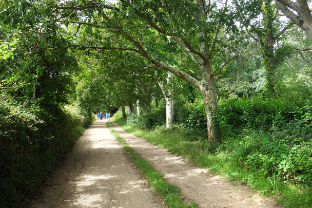
Lambsleaze Copse is a picturesque woodland located in Hampshire, England. Spread across an area of approximately 50 acres, it is a haven for nature lovers and wildlife enthusiasts. The copse is situated in the heart of the Hampshire countryside, offering a serene and tranquil atmosphere for visitors to enjoy.
The woodland is predominantly made up of deciduous trees, including oak, beech, and birch, which provide a stunning display of colors during the autumn season. The dense canopy created by these trees allows only a dappled sunlight to filter through, adding to the enchanting ambiance of the copse.
Lambsleaze Copse boasts a rich biodiversity, with a variety of flora and fauna calling it home. Squirrels, foxes, and deer can often be spotted roaming through the undergrowth, while a multitude of bird species, such as woodpeckers and nightingales, fill the air with their melodious songs.
A network of well-maintained footpaths and trails wind their way through the copse, making it easily accessible for walkers and hikers. These paths offer visitors the opportunity to explore the copse's different areas, including a small pond and a meadow bursting with wildflowers.
Lambsleaze Copse is not only a place of natural beauty but also holds historical significance. It is believed to have been part of an ancient woodland that has existed for hundreds of years, providing a glimpse into Hampshire's past.
Overall, Lambsleaze Copse is a captivating woodland that showcases the beauty of nature in Hampshire. Whether it is for a leisurely stroll, birdwatching, or simply to enjoy the tranquility, this copse is a must-visit destination for nature enthusiasts and those seeking a peaceful escape from the hustle and bustle of everyday life.
If you have any feedback on the listing, please let us know in the comments section below.
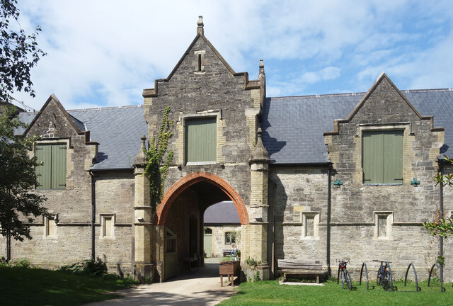
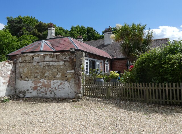
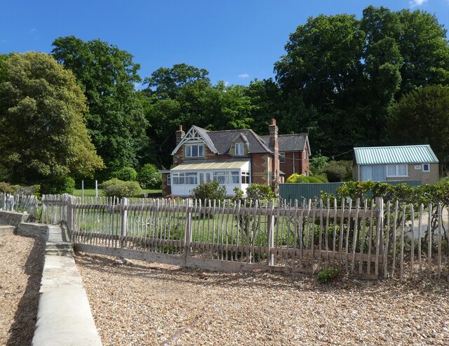
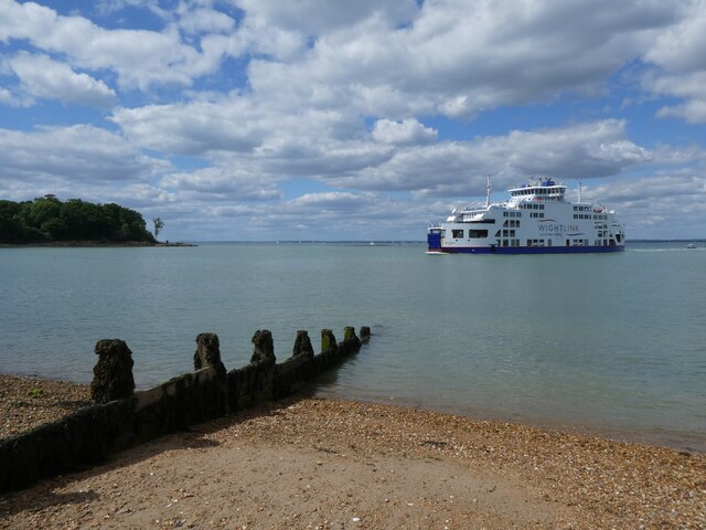
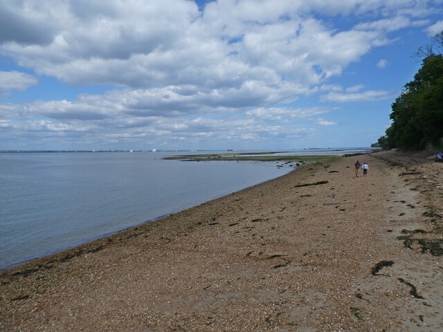
Lambsleaze Copse Images
Images are sourced within 2km of 50.734012/-1.22091 or Grid Reference SZ5593. Thanks to Geograph Open Source API. All images are credited.

Lambsleaze Copse is located at Grid Ref: SZ5593 (Lat: 50.734012, Lng: -1.22091)
Unitary Authority: Isle of Wight
Police Authority: Hampshire
What 3 Words
///case.convinces.validated. Near Wootton, Isle of Wight
Nearby Locations
Related Wikis
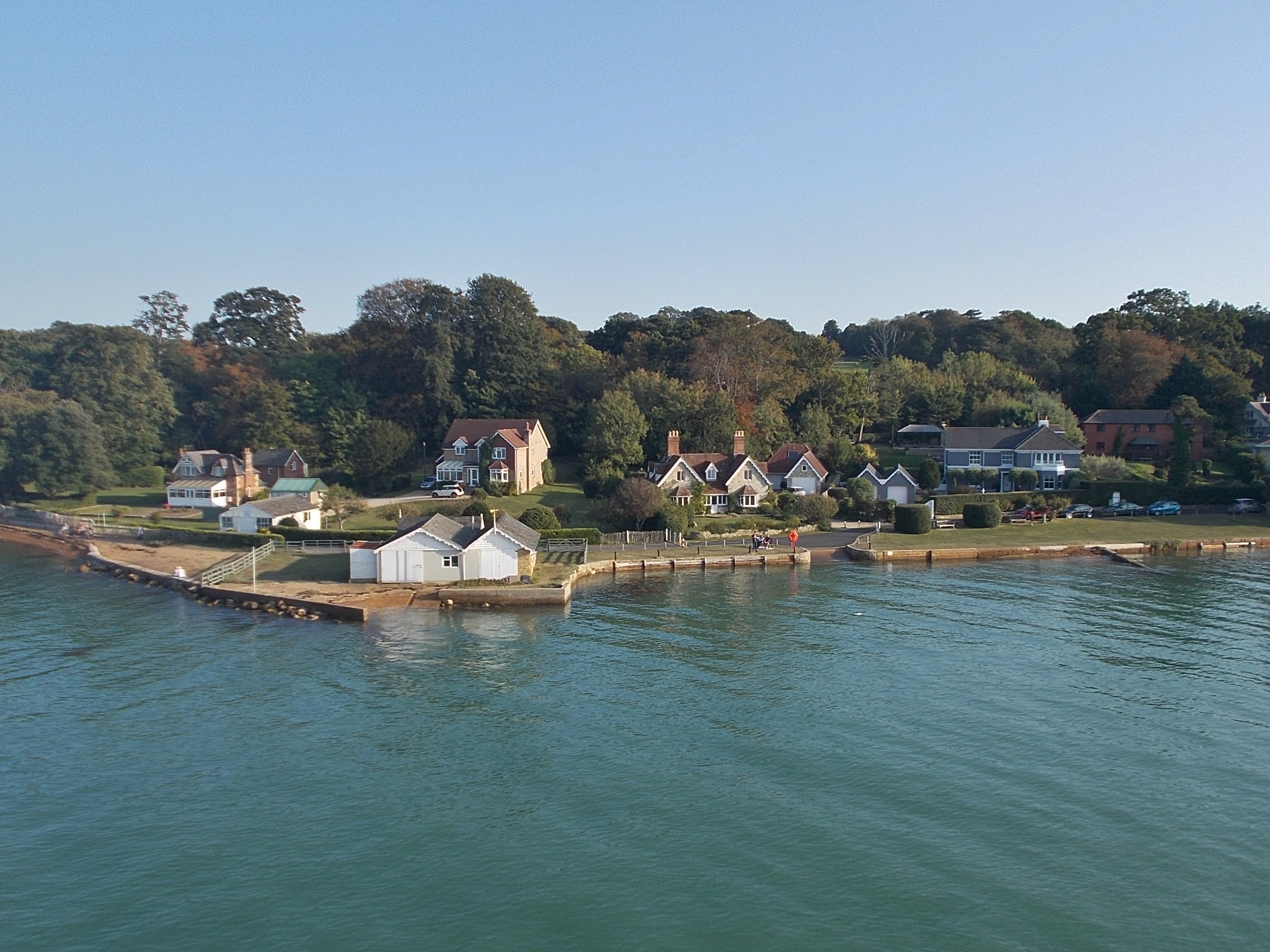
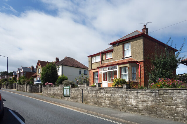
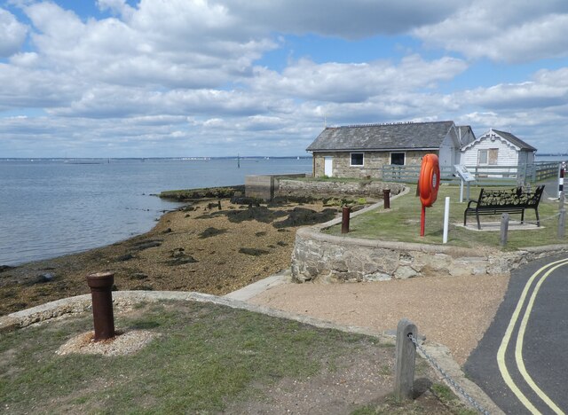
Fishbourne, Isle of Wight
Fishbourne is a village between Wootton and Ryde, on the Isle of Wight. The name "Fishbourne" might mean "stream of fish" or "fish spring."It is positioned...

Isle of Wight Festival 1969
The 1969 Isle of Wight Festival was held on 29–31 August 1969 at Wootton Creek, on the Isle of Wight. The festival attracted an audience of approximately...

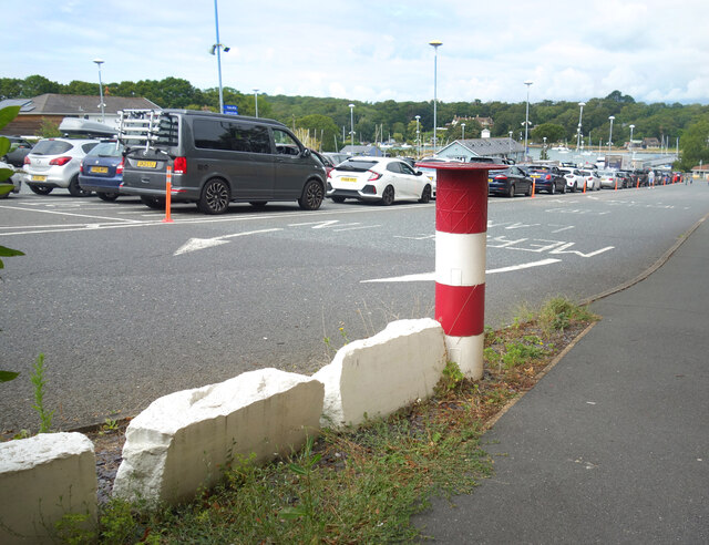
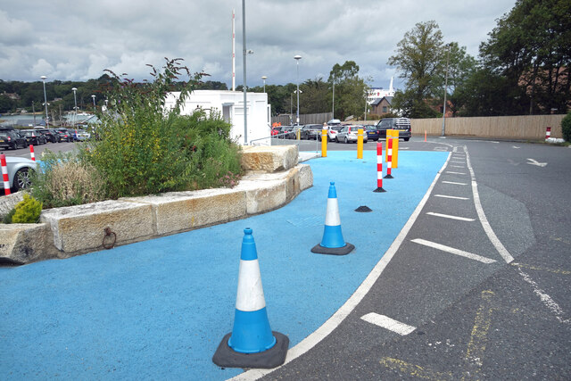
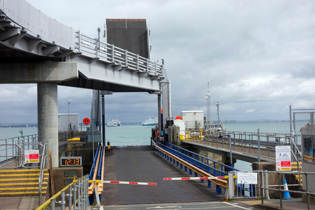
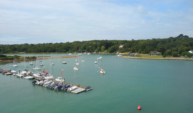
Wootton Creek
Wootton Creek is a tidal estuary that flows into the Solent on the north coast of the Isle of Wight. The estuary has also been known in the past as "Fishbourne...

St Edmund's Church, Wootton
St. Edmund's Church, Wootton is a parish church in the Church of England located in Wootton, Isle of Wight. == History == The church is medieval in origin...

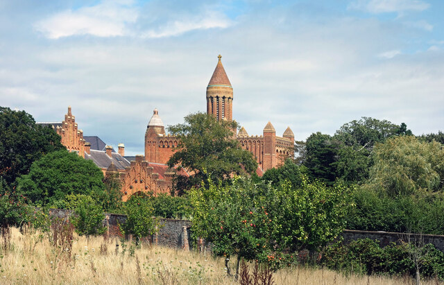
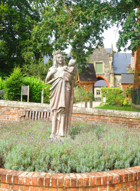
Quarr Abbey House
The Quarr Abbey House was one of several houses constructed along the north coast of the Isle of Wight in southern England. Built in the 19th century from...
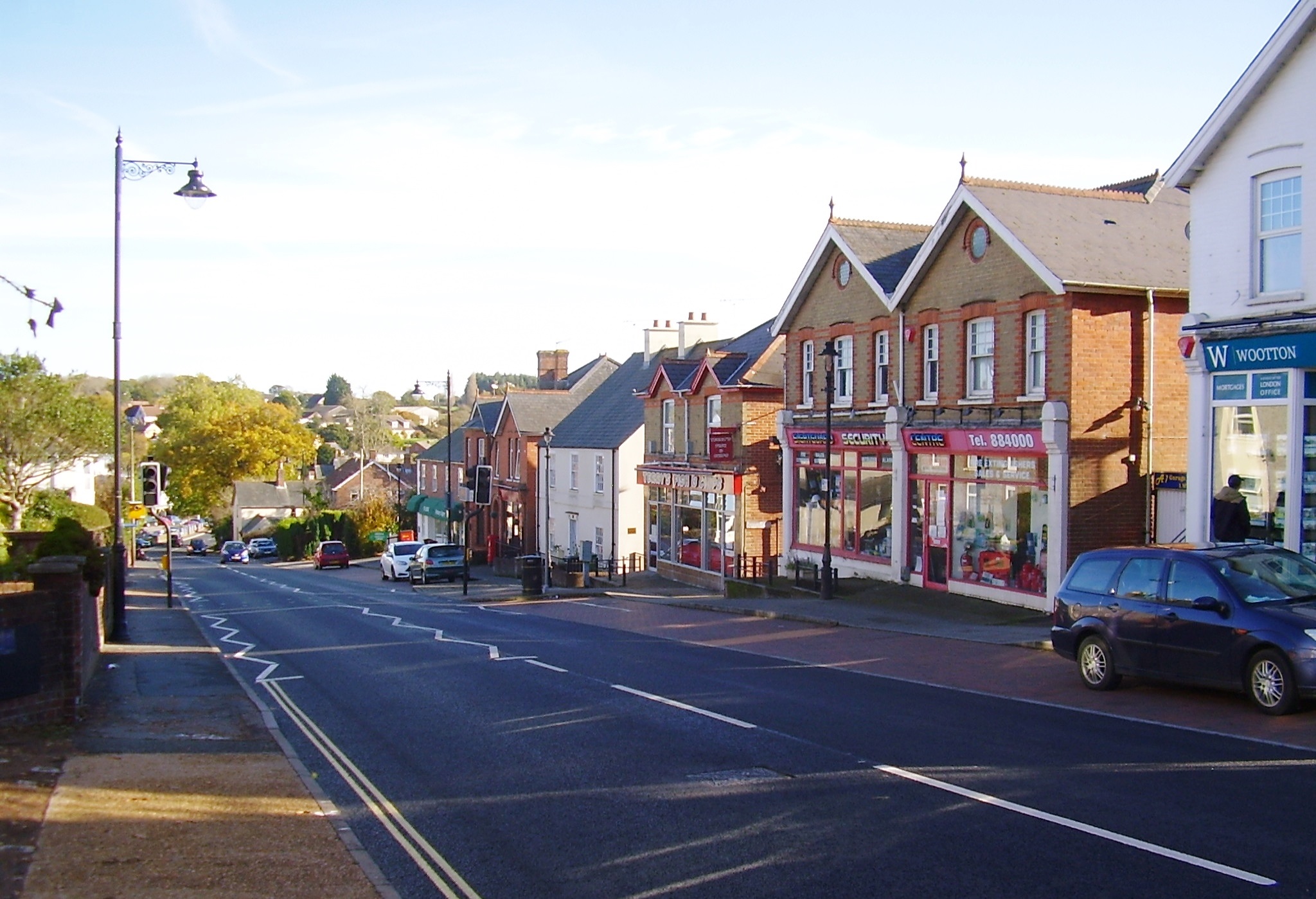
Wootton Bridge
Wootton Bridge is a large village, civil parish and electoral ward with about 3,000 residents on the Isle of Wight, first recorded around the year 1086...
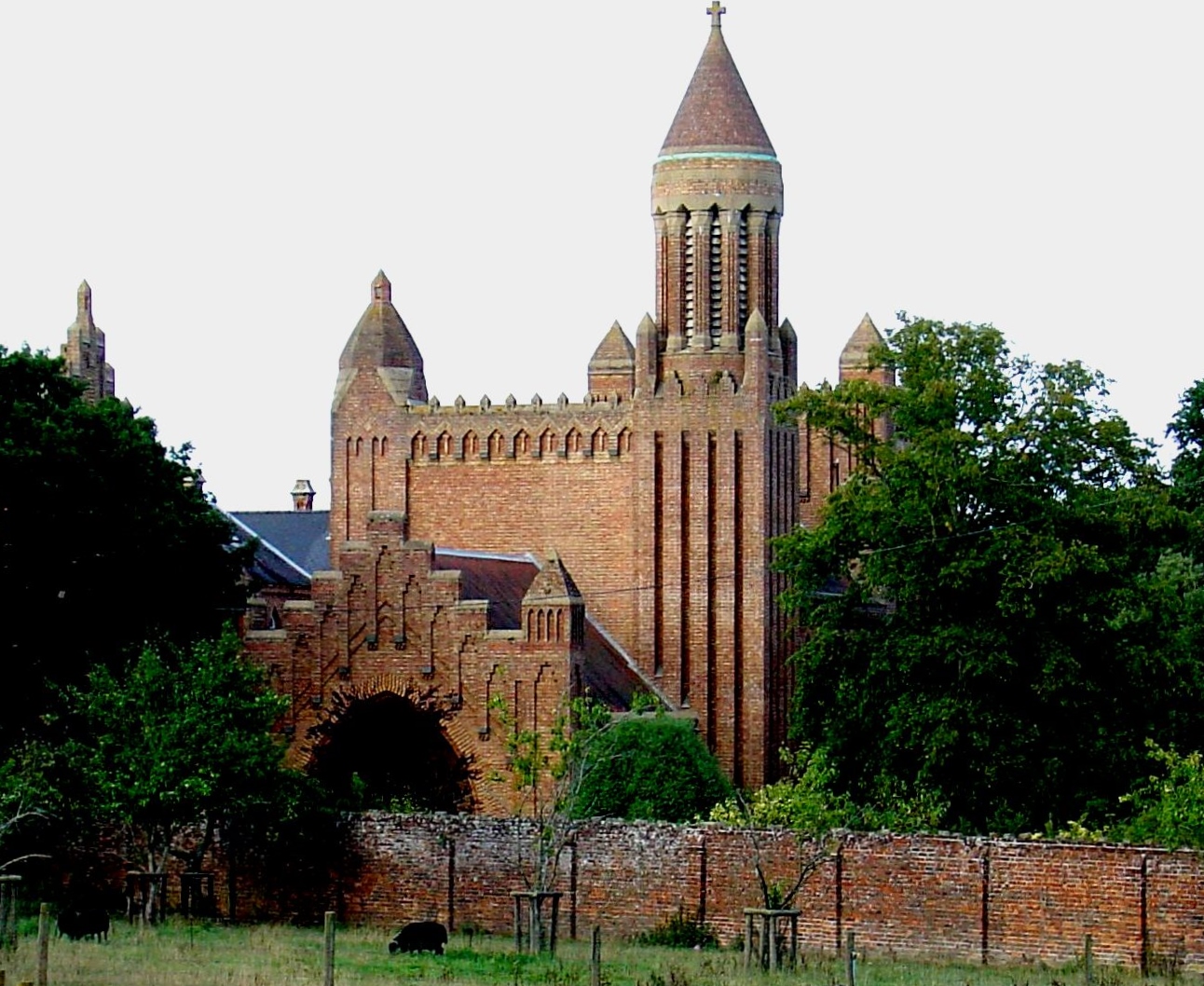
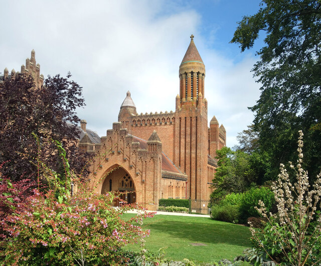
Quarr Abbey
Quarr Abbey (French: Abbaye Notre-Dame de Quarr) is a monastery between the villages of Binstead and Fishbourne on the Isle of Wight in southern England...

St Mark's Church, Wootton
St. Mark's Church, Wootton is a church in the Church of England located in Wootton, Isle of Wight. == History == The church dates from 1909 and was designed...
Nearby Amenities
Located within 500m of 50.734012,-1.22091Have you been to Lambsleaze Copse?
Leave your review of Lambsleaze Copse below (or comments, questions and feedback).