Woodend

Settlement in Cumberland Copeland

England

Woodend

Houses at High House
Houses at High House Credit: David Medcalf

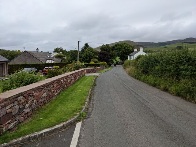
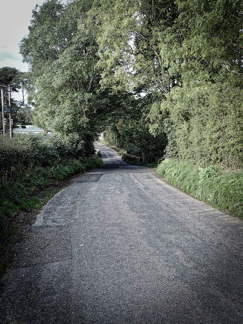
Woodend is a small village located in Cumberland, a historic county in the northwest of England. Situated about 4 miles southwest of the town of Wigton, Woodend is nestled in the picturesque countryside of the Lake District National Park.

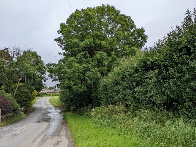
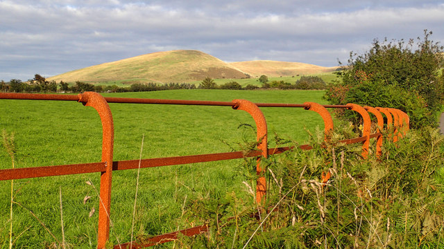
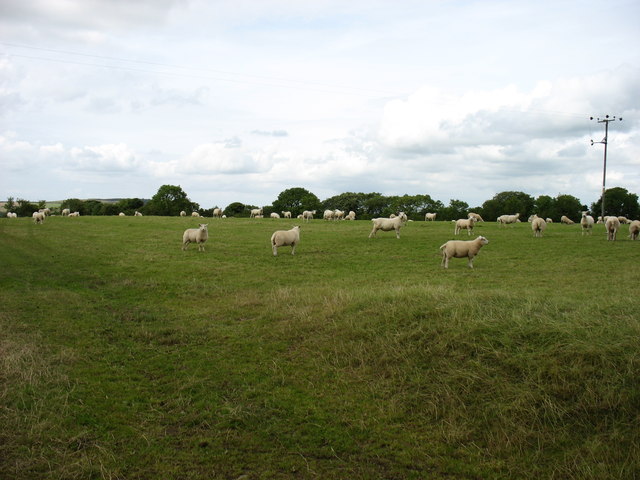
The village is characterized by its charming rural setting, surrounded by rolling hills, lush green meadows, and scattered woodlands. It offers a tranquil and peaceful atmosphere, making it an ideal destination for those seeking a getaway from the bustling city life.

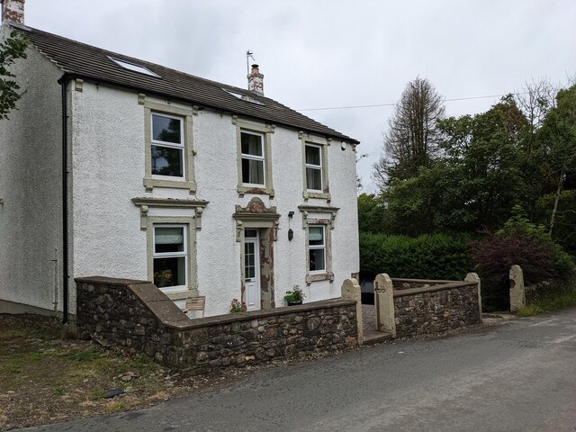
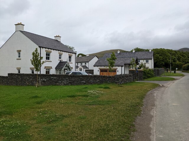
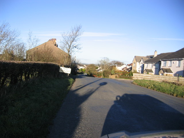
Woodend is home to a close-knit community of residents who enjoy the village's close proximity to nature. There are a few residential properties in the area, including traditional cottages and newer modern homes, blending seamlessly with the rustic charm of the surroundings.

Although small, Woodend boasts a few amenities for its residents and visitors. The village has a local pub, serving as a social hub where locals gather to enjoy a pint and engage in friendly conversations. Additionally, there are some walking and cycling trails that provide opportunities to explore the scenic beauty of the area.

For those looking to explore beyond Woodend, the village offers convenient access to nearby attractions. The town of Wigton is a short drive away and provides amenities such as shops, cafes, and a weekly market. The stunning Lake District, with its picturesque lakes, mountains, and hiking trails, is also easily accessible from Woodend.

In summary, Woodend is a tranquil village in Cumberland, offering a peaceful retreat amidst the natural beauty of the Lake District. Its idyllic setting and proximity to nearby attractions make it an appealing destination for nature lovers and those seeking a rural escape.

If you have any feedback on the listing, please let us know in the comments section below.
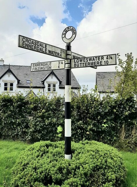
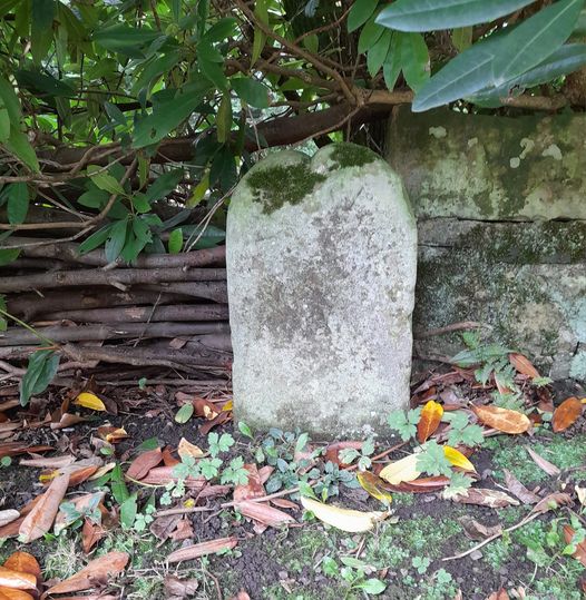
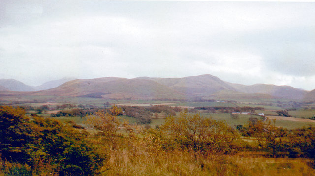
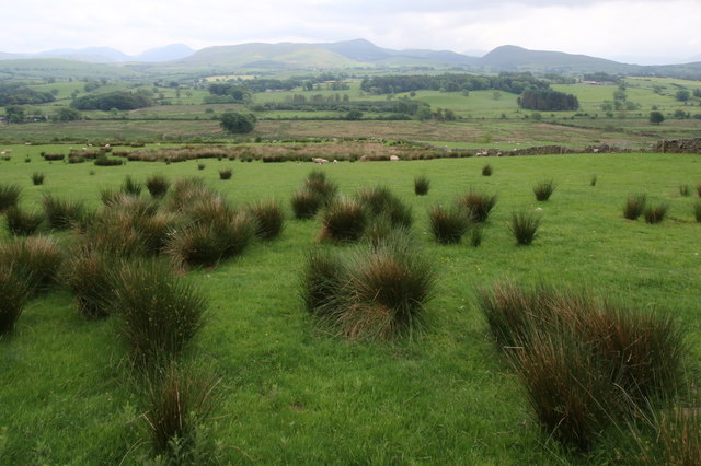
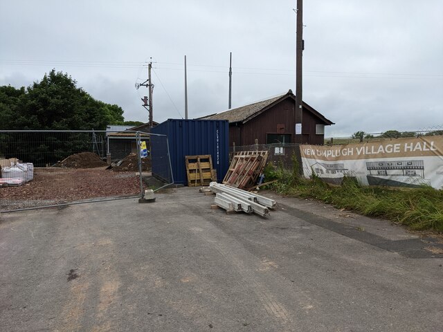
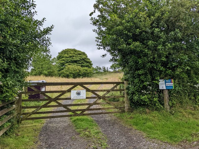
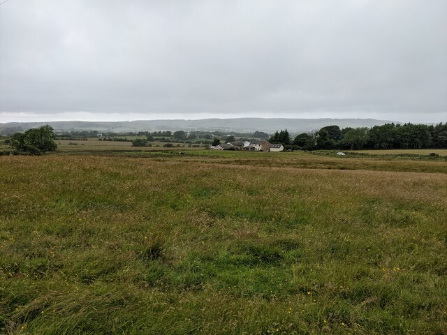
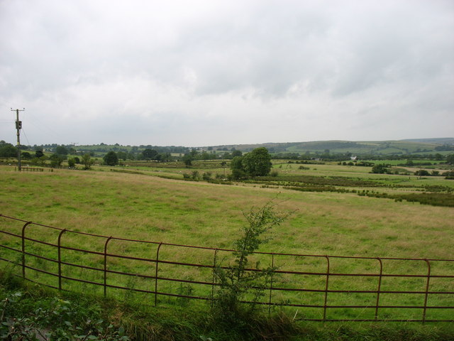
Woodend Images

Images are sourced within 2km of 54.575628/-3.4402164 or Grid Reference NY0721. Thanks to Geograph Open Source API. All images are credited.

Houses at High House
The road near High Millgillhead
A house at High Millgillhead
Houses at Fitz Bridge
Direction Sign – Signpost at Fitz Bridge, Lamplugh Located on the west side of the road in front of new houses at Fitz Bridge in Lamplugh parish. 4 arms and annulus finial.

Milestone Society National ID: CU_NY0820
Direction Sign – Signpost at Fitz Bridge, Lamplugh
Located on the west side of the road in front of new houses at Fitz Bridge in Lamplugh parish. 4 arms and annulus finial. Milestone Society National ID: CU_NY0820
Old Boundary Marker on Crossgates Bridge Township Boundary Marker at the north end of the east parapet of Crossgates Bridge. On the former boundary of Murton and Lamplugh townships but now entirely in Lamplugh parish.

Milestone Society National ID: CU_LAMP07pb
Old Boundary Marker on Crossgates Bridge
Township Boundary Marker at the north end of the east parapet of Crossgates Bridge. On the former boundary of Murton and Lamplugh townships but now entirely in Lamplugh parish. Milestone Society National ID: CU_LAMP07pb
Loweswater Fells, from Lamplugh, 1966 View ENE from by Lamplugh Hall, to Blake Fell (highest at 1,880 ft.).
Loweswater Fells, from Lamplugh, 1966
View ENE from by Lamplugh Hall, to Blake Fell (highest at 1,880 ft.).
A view to the east near Whiteleld How green is the grass? There's got to be some advantage in suffering so much rainfall!
A view to the east near Whiteleld
How green is the grass? There's got to be some advantage in suffering so much rainfall!
Southerly view from near Whitekeld I was greatly impressed by the solitude of this region. The tourist droves trip over themselves elsewhere but here is idyllic, unspoiled, and peaceful. However there seems to be a dearth of bird life in the region. On this terrain you'd expect to see a good head of Peewit and curlew to name a few. there were none.
Southerly view from near Whitekeld
I was greatly impressed by the solitude of this region. The tourist droves trip over themselves elsewhere but here is idyllic, unspoiled, and peaceful. However there seems to be a dearth of bird life in the region. On this terrain you'd expect to see a good head of Peewit and curlew to name a few. there were none.
Approaching Stegcroft Bridge
Iron fencing near Felldyke
War memorial at Lamplugh The small settlement at Lamplugh is at the western edge of the Lake District National Park. Much of the village lies just within the park boundary; its church, St. Michael's, lies outside.
The war memorial stands at the west end of the church; it has clearly been cleaned since Matthew Hatton photographed it in May 2014 - <a title="https://www.geograph.org.uk/photo/4019954" href="https://www.geograph.org.uk/photo/4019954">Link</a>.
War memorial at Lamplugh
The small settlement at Lamplugh is at the western edge of the Lake District National Park. Much of the village lies just within the park boundary; its church, St. Michael's, lies outside. The war memorial stands at the west end of the church; it has clearly been cleaned since Matthew Hatton photographed it in May 2014 - Link.
Junction with the A5086
The new Lamplugh Village Hall Work in progress!
The new Lamplugh Village Hall
Work in progress!
The gate to Felldyke Bunkhouse
Looking across the field to High Trees
Fields at Felldyke
Fields at Felldyke
A field near Scallow Beck
Show me another place!

Woodend is located at Grid Ref: NY0721 (Lat: 54.575628, Lng: -3.4402164)

Administrative County: Cumbria

District: Copeland

Police Authority: Cumbria

What 3 Words

///character.window.pockets. Near Frizington, Cumbria

Related Wikis

Crossgates, Cumbria

Crossgates is a hamlet in Cumbria, England. It is located just to the northeast of Asby. == References ==

Lamplugh railway station

Lamplugh railway station was built by the Whitehaven, Cleator and Egremont Railway. It served the scattered community of Lamplugh, Cumbria, England....

Asby, Copeland

Asby is a village in Cumbria, England, historically part of Cumberland, near the Lake District National Park. == Location == It lies by road 7.5 miles...

St Michael, Lamplugh

St Michael is in Lamplugh, Cumbria, England. It is an active Anglican parish church in the deanery of Calder, and the diocese of Carlisle. Its benefice...

Lamplugh

Lamplugh () is a scattered community and civil parish located in West Cumbria on the edge of the English Lake District and historically part of Cumberland...

Kelton Head

Kelton Head is a hamlet in Cumbria, England. It has just four houses, and is very close to Kelton Head Quarry, near Rowrah. Despite this, it is in the...

Rowrah railway station

Rowrah railway station was built by the Whitehaven, Cleator and Egremont Railway. It served the village of Rowrah, Cumbria, England. == Local lines... ==

Browtop

Browtop is a village in Cumbria, England. It is also an area of Keswick where Francis Galton stayed (In Galton's biography, Karl Pearson states that "Browtop...

Nearby Amenities

Located within 500m of 54.575628,-3.4402164
Gatra
Place: locality
Lat/Long: 54.5741667/-3.4426753
Power: pole
Lat/Long: 54.5743291/-3.4469093
Power: pole
Lat/Long: 54.5741213/-3.4452949
Power: pole
Lat/Long: 54.5739863/-3.4441828
Power: pole
Lat/Long: 54.5724892/-3.4438445
Power: pole
Lat/Long: 54.5730951/-3.4429229
Power: pole
Lat/Long: 54.5737057/-3.4419809
Power: pole
Lat/Long: 54.574207/-3.4380896
Power: pole
Lat/Long: 54.5738924/-3.4391997
Power: pole
Lat/Long: 54.5727863/-3.4386062
Power: pole
Lat/Long: 54.5721017/-3.4379661
Power: pole
Lat/Long: 54.5714923/-3.4374009
Power: pole
Lat/Long: 54.5745282/-3.4335633
Power: pole
Lat/Long: 54.5750812/-3.4349327
Power: pole
Lat/Long: 54.5754992/-3.4333952
Power: pole
Lat/Long: 54.5746561/-3.4363972
The data included in this document is from www.openstreetmap.org. The data is made available under ODbL.

Have you been to Woodend?

Leave your review of Woodend below (or comments, questions and feedback).