Crowghyll Wood
Wood, Forest in Cumberland Copeland
England
Crowghyll Wood
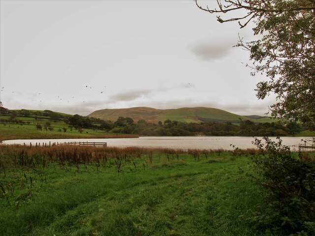
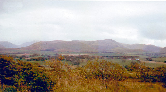
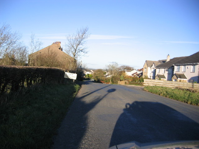
Crowghyll Wood, located in Cumberland, is a captivating forest that spans across a vast area of picturesque landscapes. Nestled amidst the northern region of England, this woodland is renowned for its enchanting beauty and rich biodiversity.
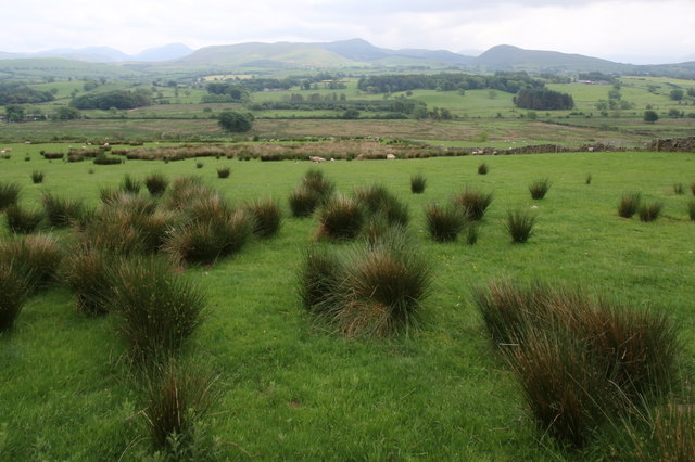
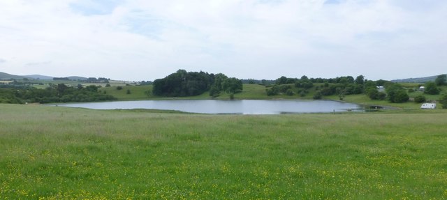
Stretching over several hectares, Crowghyll Wood is predominantly composed of deciduous trees, including oak, beech, and birch. The forest floor is blanketed with a myriad of flora, ranging from vibrant wildflowers to moss-covered rocks. The area is teeming with wildlife, providing a sanctuary for various species of birds, mammals, and insects. Visitors may catch a glimpse of red squirrels, roe deer, and even the elusive pine marten.
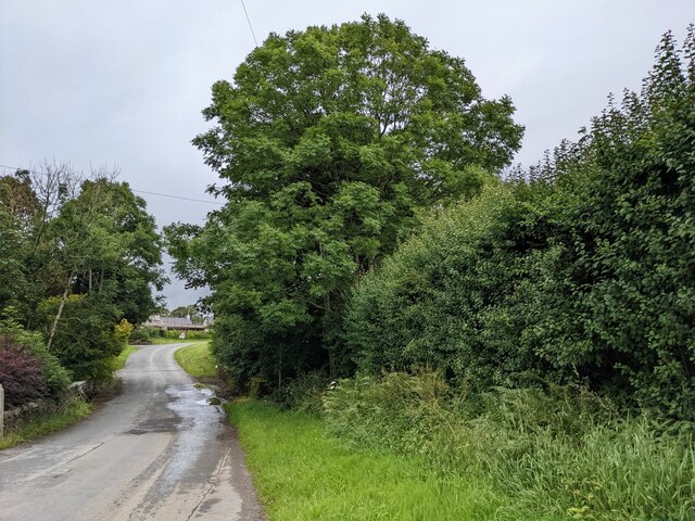
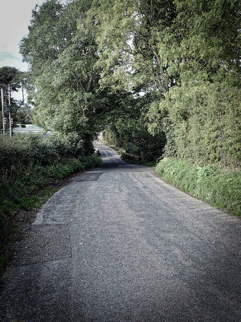
The woodland is crisscrossed with numerous footpaths, inviting nature enthusiasts and hikers to explore its hidden treasures. These trails wind through ancient trees, revealing stunning vistas and secluded clearings. The tranquil ambiance of the wood makes it an ideal retreat for those seeking solace in nature. The soothing sounds of birdsong and rustling leaves add to the serene atmosphere.
Crowghyll Wood also holds historical significance, with remnants of an old Roman road that once traversed through the area. Archaeological discoveries have uncovered artifacts and evidence of human settlement dating back centuries, highlighting the deep-rooted history of this woodland.
Whether visitors are seeking a peaceful stroll, birdwatching opportunities, or a chance to immerse themselves in the natural wonders of Cumberland, Crowghyll Wood offers an idyllic setting for all.
If you have any feedback on the listing, please let us know in the comments section below.
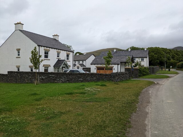
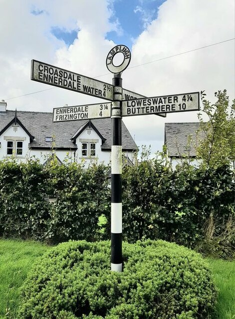
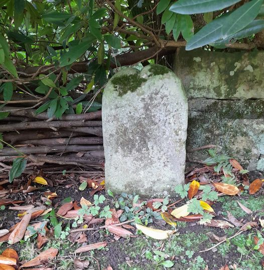
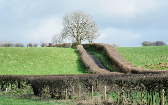
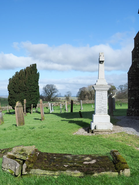
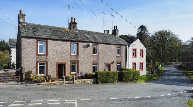
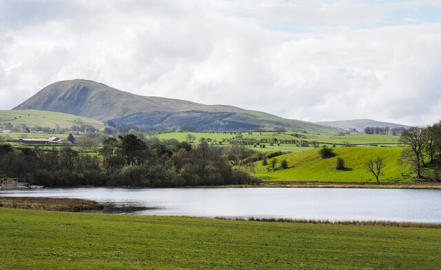
Crowghyll Wood Images
Images are sourced within 2km of 54.583888/-3.4349062 or Grid Reference NY0721. Thanks to Geograph Open Source API. All images are credited.


Crowghyll Wood is located at Grid Ref: NY0721 (Lat: 54.583888, Lng: -3.4349062)
Administrative County: Cumbria
District: Copeland
Police Authority: Cumbria
What 3 Words
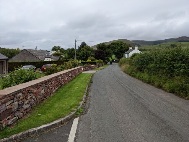
///reheat.washroom.birdcage. Near Frizington, Cumbria
Nearby Locations
Related Wikis

Lamplugh railway station
Lamplugh railway station was built by the Whitehaven, Cleator and Egremont Railway. It served the scattered community of Lamplugh, Cumbria, England....

Crossgates, Cumbria
Crossgates is a hamlet in Cumbria, England. It is located just to the northeast of Asby. == References ==

Lamplugh
Lamplugh () is a scattered community and civil parish located in West Cumbria on the edge of the English Lake District and historically part of Cumberland...
St Michael, Lamplugh
St Michael is in Lamplugh, Cumbria, England. It is an active Anglican parish church in the deanery of Calder, and the diocese of Carlisle. Its benefice...
Asby, Copeland
Asby is a village in Cumbria, England, historically part of Cumberland, near the Lake District National Park. == Location == It lies by road 7.5 miles...
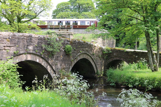
Ullock railway station
Ullock railway station was built by the Whitehaven, Cleator and Egremont Railway. It served the village of Ullock, Cumbria, England. == History == The...

Ullock
Ullock is a village in Cumbria, England, located at National Grid reference NY076239, approximately 5 miles (8.0 km) south west of Cockermouth and 5.4...
Browtop
Browtop is a village in Cumbria, England. It is also an area of Keswick where Francis Galton stayed (In Galton's biography, Karl Pearson states that "Browtop...
Nearby Amenities
Located within 500m of 54.583888,-3.4349062Have you been to Crowghyll Wood?
Leave your review of Crowghyll Wood below (or comments, questions and feedback).