Crossgates

Settlement in Cumberland Copeland

England

Crossgates

Houses at High House
Houses at High House Credit: David Medcalf

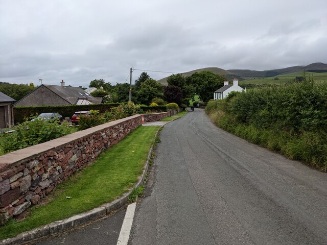
Crossgates is a small village located in the county of Cumberland, England. Situated approximately 5 miles east of the town of Carlisle, it lies near the border with Scotland and is within close proximity to the Northumberland National Park. With a population of around 1,500 residents, Crossgates is known for its picturesque countryside and tranquil atmosphere.

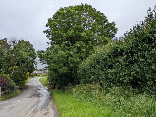
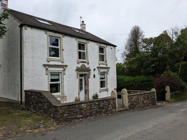
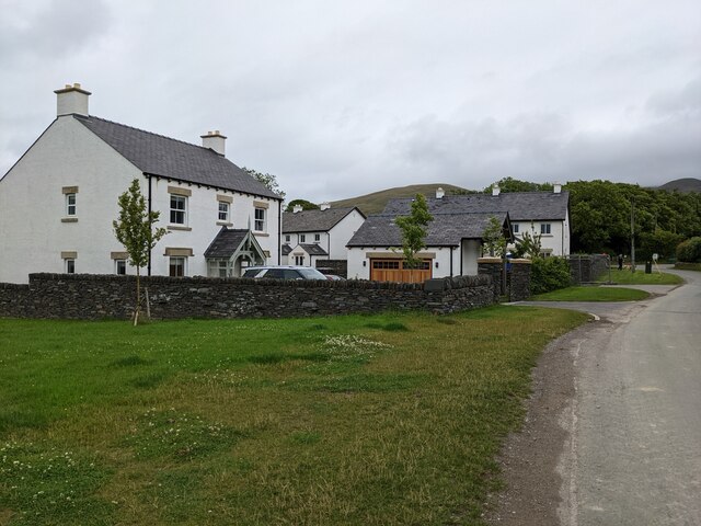
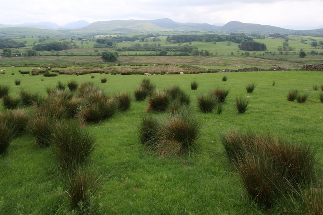
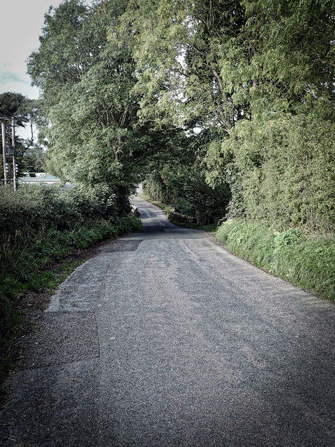
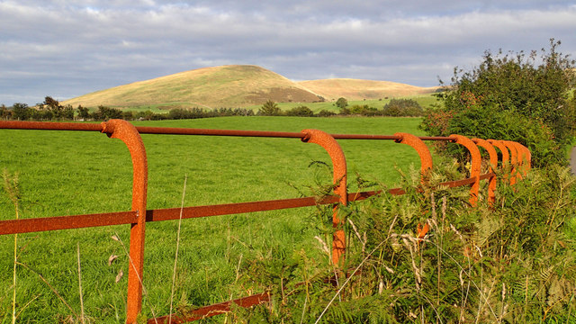
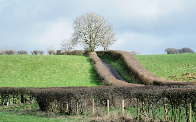
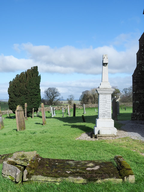
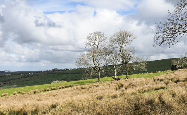
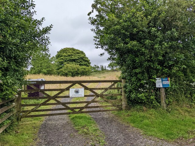
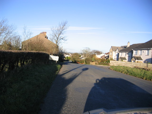
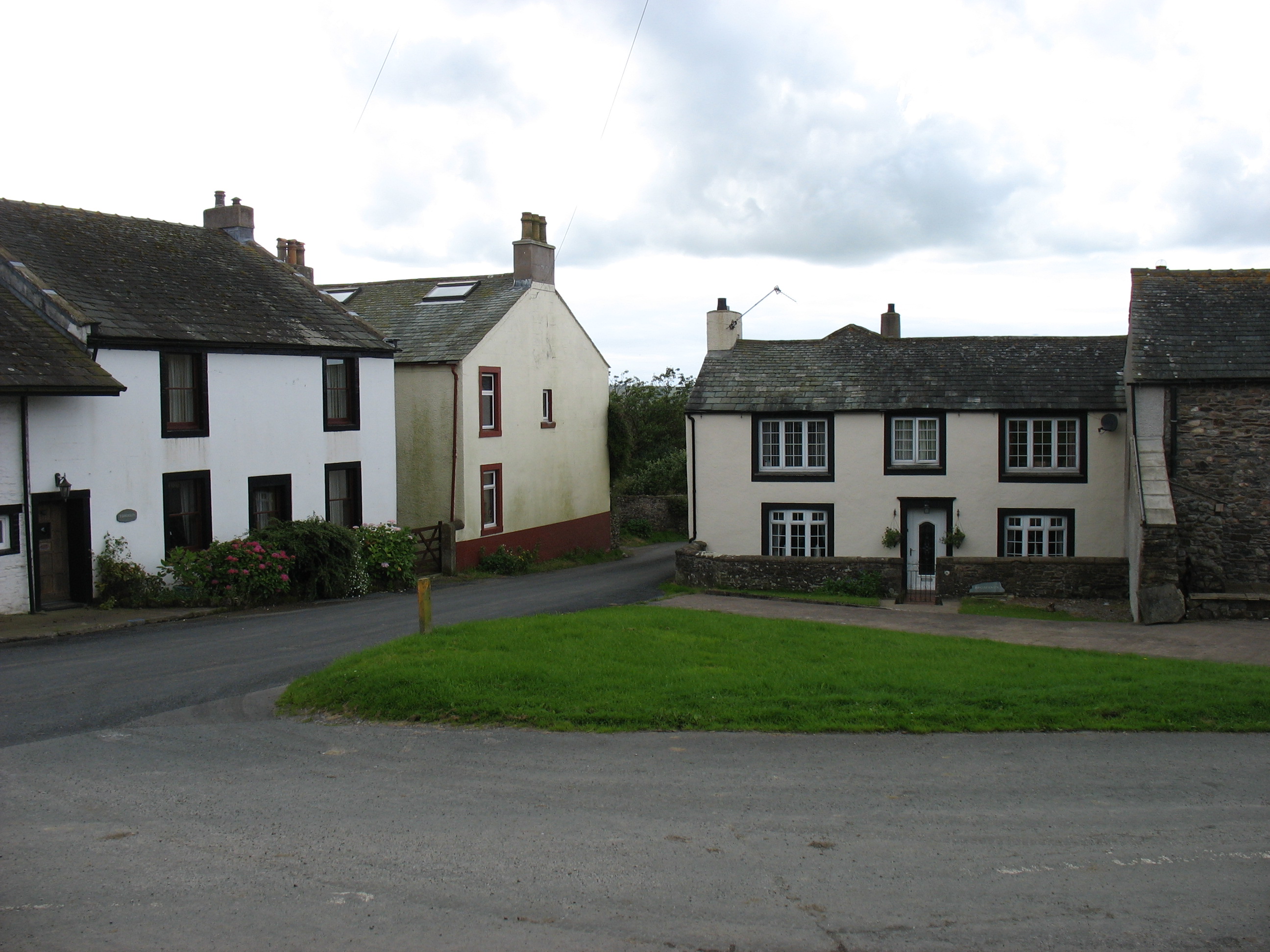
The village is characterized by its traditional English architecture, featuring charming cottages and well-preserved historic buildings. The surrounding landscape is dominated by rolling hills, lush green fields, and dense forests, making it an ideal destination for nature lovers and outdoor enthusiasts. The nearby River Eden also offers opportunities for fishing and boating.

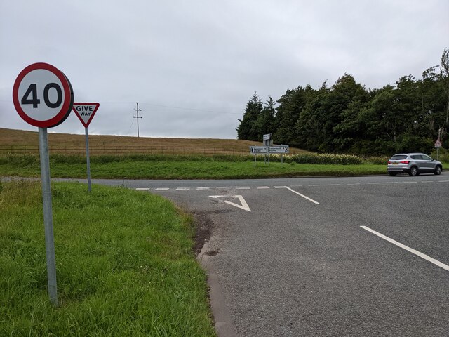
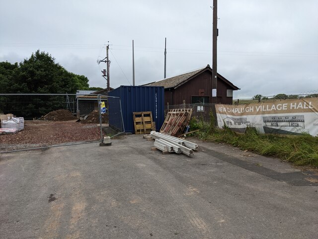
Crossgates has a strong sense of community, with local amenities including a village hall, a primary school, a post office, and a few shops. The village is well-connected, with regular bus services to Carlisle and other nearby towns.

In terms of attractions, Crossgates is in close proximity to a number of notable landmarks. Hadrian's Wall, a UNESCO World Heritage Site, is just a short drive away, offering visitors a chance to explore the ancient Roman ruins. Additionally, the Lake District National Park, renowned for its stunning lakes and mountains, is within easy reach, providing a wealth of opportunities for hiking, cycling, and sightseeing.

Overall, Crossgates is a charming village that offers a peaceful and idyllic setting, combined with convenient access to beautiful natural landscapes and cultural attractions.

If you have any feedback on the listing, please let us know in the comments section below.
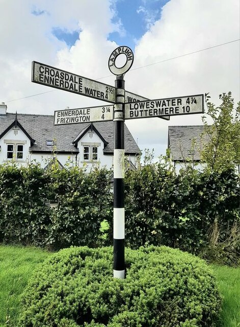
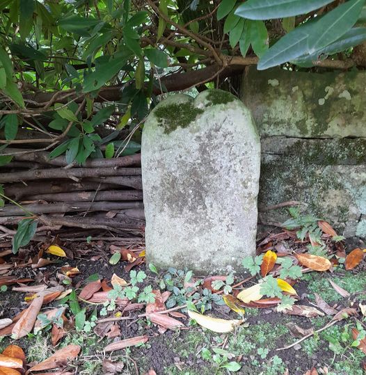
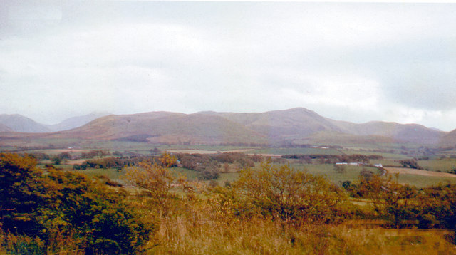
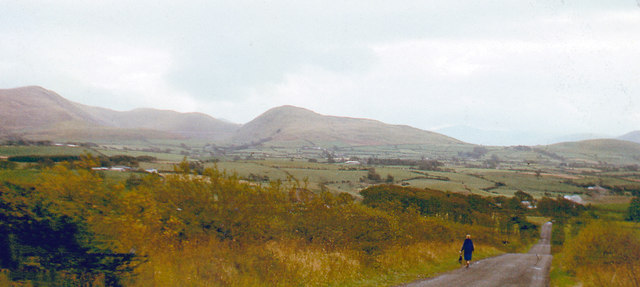
Crossgates Images

Images are sourced within 2km of 54.576954/-3.428379 or Grid Reference NY0721. Thanks to Geograph Open Source API. All images are credited.

Houses at High House
The road near High Millgillhead
A house at High Millgillhead
Houses at Fitz Bridge
Direction Sign – Signpost at Fitz Bridge, Lamplugh Located on the west side of the road in front of new houses at Fitz Bridge in Lamplugh parish. 4 arms and annulus finial.

Milestone Society National ID: CU_NY0820
Direction Sign – Signpost at Fitz Bridge, Lamplugh
Located on the west side of the road in front of new houses at Fitz Bridge in Lamplugh parish. 4 arms and annulus finial. Milestone Society National ID: CU_NY0820
Old Boundary Marker on Crossgates Bridge Township Boundary Marker at the north end of the east parapet of Crossgates Bridge. On the former boundary of Murton and Lamplugh townships but now entirely in Lamplugh parish.

Milestone Society National ID: CU_LAMP07pb
Old Boundary Marker on Crossgates Bridge
Township Boundary Marker at the north end of the east parapet of Crossgates Bridge. On the former boundary of Murton and Lamplugh townships but now entirely in Lamplugh parish. Milestone Society National ID: CU_LAMP07pb
Loweswater Fells, from Lamplugh, 1966 View ENE from by Lamplugh Hall, to Blake Fell (highest at 1,880 ft.).
Loweswater Fells, from Lamplugh, 1966
View ENE from by Lamplugh Hall, to Blake Fell (highest at 1,880 ft.).
Lamplugh Fells from near Lamplugh, 1966 View SSE near Dockray Nook to Blake Fell (1,880 ft.) on left, Murton Fell (1,463 ft.) in centre; Cogra Moss is just visible.
Lamplugh Fells from near Lamplugh, 1966
View SSE near Dockray Nook to Blake Fell (1,880 ft.) on left, Murton Fell (1,463 ft.) in centre; Cogra Moss is just visible.
A view to the east near Whiteleld How green is the grass? There's got to be some advantage in suffering so much rainfall!
A view to the east near Whiteleld
How green is the grass? There's got to be some advantage in suffering so much rainfall!
Southerly view from near Whitekeld I was greatly impressed by the solitude of this region. The tourist droves trip over themselves elsewhere but here is idyllic, unspoiled, and peaceful. However there seems to be a dearth of bird life in the region. On this terrain you'd expect to see a good head of Peewit and curlew to name a few. there were none.
Southerly view from near Whitekeld
I was greatly impressed by the solitude of this region. The tourist droves trip over themselves elsewhere but here is idyllic, unspoiled, and peaceful. However there seems to be a dearth of bird life in the region. On this terrain you'd expect to see a good head of Peewit and curlew to name a few. there were none.
Approaching Stegcroft Bridge
Iron fencing near Felldyke
Severely trimmed hedges Hedges alongside the A5086 near to Snary Bridge and a minor road heading towards Mockerkin: clearly 'mown'.
Severely trimmed hedges
Hedges alongside the A5086 near to Snary Bridge and a minor road heading towards Mockerkin: clearly 'mown'.
War memorial at Lamplugh The small settlement at Lamplugh is at the western edge of the Lake District National Park. Much of the village lies just within the park boundary; its church, St. Michael's, lies outside.
The war memorial stands at the west end of the church; it has clearly been cleaned since Matthew Hatton photographed it in May 2014 - <a title="https://www.geograph.org.uk/photo/4019954" href="https://www.geograph.org.uk/photo/4019954">Link</a>.
War memorial at Lamplugh
The small settlement at Lamplugh is at the western edge of the Lake District National Park. Much of the village lies just within the park boundary; its church, St. Michael's, lies outside. The war memorial stands at the west end of the church; it has clearly been cleaned since Matthew Hatton photographed it in May 2014 - Link.
Trees and rushes in field The field is below a minor road on the north-western slope of Oswen Fell.
Trees and rushes in field
The field is below a minor road on the north-western slope of Oswen Fell.
Junction with the A5086
The new Lamplugh Village Hall Work in progress!
The new Lamplugh Village Hall
Work in progress!
The gate to Felldyke Bunkhouse
Show me another place!

Crossgates is located at Grid Ref: NY0721 (Lat: 54.576954, Lng: -3.428379)

Administrative County: Cumbria

District: Copeland

Police Authority: Cumbria

What 3 Words

///alive.blogging.alienated. Near Frizington, Cumbria

Related Wikis

Crossgates, Cumbria

Crossgates is a hamlet in Cumbria, England. It is located just to the northeast of Asby. == References ==

St Michael, Lamplugh

St Michael is in Lamplugh, Cumbria, England. It is an active Anglican parish church in the deanery of Calder, and the diocese of Carlisle. Its benefice...

Lamplugh

Lamplugh () is a scattered community and civil parish located in West Cumbria on the edge of the English Lake District and historically part of Cumberland...

Lamplugh railway station

Lamplugh railway station was built by the Whitehaven, Cleator and Egremont Railway. It served the scattered community of Lamplugh, Cumbria, England....

Asby, Copeland

Asby is a village in Cumbria, England, historically part of Cumberland, near the Lake District National Park. == Location == It lies by road 7.5 miles...

Cogra Moss

Cogra Moss is a shallow reservoir to the east of the village of Lamplugh on the western edge of the English Lake District. It was created by the damming...

Kelton Head

Kelton Head is a hamlet in Cumbria, England. It has just four houses, and is very close to Kelton Head Quarry, near Rowrah. Despite this, it is in the...

Mockerkin

Mockerkin is a settlement in the English county of Cumbria. Historically part of Cumberland, it is situated just outside the Lake District National Park...

Nearby Amenities

Located within 500m of 54.576954,-3.428379
Bus Stop
Post Office
Naptan AtcoCode: 090050120063
Naptan Bearing: S
Naptan CommonName: Post Office
Naptan Indicator: near
Naptan Landmark: telephone Box
Naptan NaptanCode: cumatwjg
Naptan Street: A5086
Naptan Verified: no
Source: naptan_import
Lat/Long: 54.5765231/-3.4300484
Crossgates Bridge
Local Ref: AT
Naptan AtcoCode: 090050124437
Naptan Bearing: N
Naptan BusStopType: CUS
Naptan CommonName: Crossgates Bridge
Naptan Indicator: at
Naptan Landmark: Near number 3
Naptan NaptanCode: cumdtjtj
Naptan Street: Cross Gates
Naptan Verified: no
Source: naptan_import
Lat/Long: 54.5763532/-3.4307387
Parking
Lat/Long: 54.5738839/-3.429376
Telephone
Booth: K6
Covered: booth
Man Made: telephone_box
Lat/Long: 54.5764104/-3.429797
Post Box
Post Box Type: lamp
Ref: CA14 135
Royal Cypher: EIIR
Royal Cypher Wikidata: Q33102113
Lat/Long: 54.5763824/-3.4297406
Crossgates
Place: locality
Wikidata: Q5188612
Lat/Long: 54.5758465/-3.4296748
Power: pole
Lat/Long: 54.5733916/-3.4307983
Power: pole
Lat/Long: 54.5739751/-3.4322244
Power: pole
Lat/Long: 54.5745282/-3.4335633
Power: pole
Lat/Long: 54.5750812/-3.4349327
Power: pole
Lat/Long: 54.5735724/-3.4299374
Power: pole
Lat/Long: 54.5736992/-3.4292385
Power: pole
Lat/Long: 54.5754992/-3.4333952
Power: pole
Lat/Long: 54.575943/-3.4317868
Power: pole
Lat/Long: 54.5763398/-3.4303668
Power: pole
Lat/Long: 54.5732636/-3.4274742
Power: pole
Lat/Long: 54.5727728/-3.4255093
The data included in this document is from www.openstreetmap.org. The data is made available under ODbL.

Have you been to Crossgates?

Leave your review of Crossgates below (or comments, questions and feedback).