Wimbish Green

Settlement in Essex Uttlesford

England

Wimbish Green

St Mary's church, Radwinter View of the south side showing the fine half-timbered porch.
St Mary's church, Radwinter Credit: David Gruar

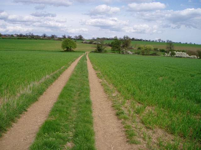
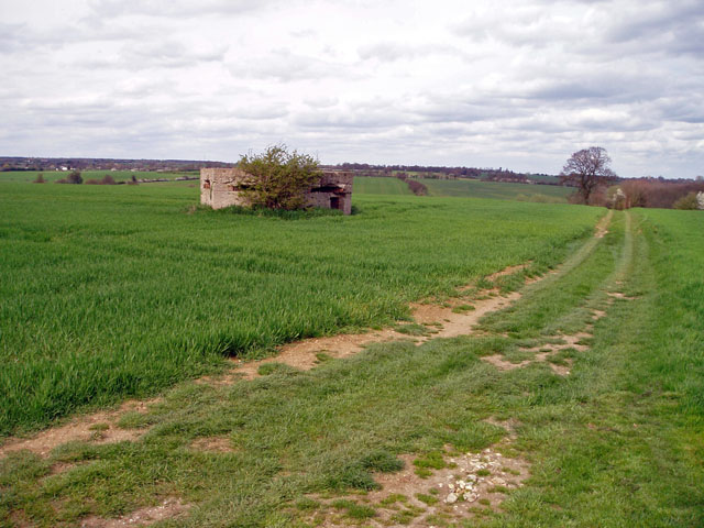
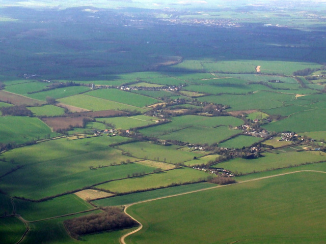
Wimbish Green is a quaint village situated in the county of Essex, England. It is located approximately 45 miles northeast of London and is nestled in the picturesque countryside, surrounded by rolling hills and lush green fields. The village falls within the Uttlesford district and is part of the civil parish of Wimbish.

Wimbish Green is known for its peaceful and idyllic setting, offering residents and visitors a break from the hustle and bustle of city life. The village is home to a small but tight-knit community, with a population of around 500 people.

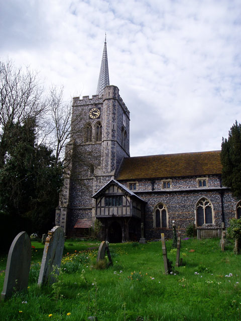
One of the prominent landmarks in Wimbish Green is St. Mary's Church, a beautiful medieval structure that dates back to the 14th century. The church is a focal point for both religious and community events, and its stunning architecture attracts visitors from far and wide.

The village also boasts a traditional pub, The Plough, which offers a warm and friendly atmosphere for locals and tourists alike. The pub serves a range of delicious food and beverages, making it a popular spot for socializing and enjoying a meal.

Wimbish Green benefits from its close proximity to the larger town of Saffron Walden, which provides a wider range of amenities and services, including schools, shops, and leisure facilities. The village is well-connected by road, with easy access to major transport links, making it convenient for commuters.

Overall, Wimbish Green is a charming and tranquil village that exudes a sense of rural beauty and community spirit. Its picturesque surroundings and historic landmarks make it an attractive destination for those seeking a peaceful and scenic retreat.

If you have any feedback on the listing, please let us know in the comments section below.

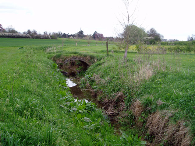
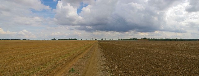
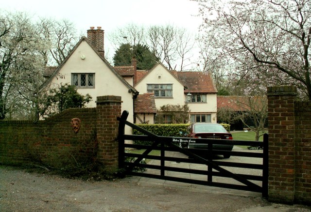
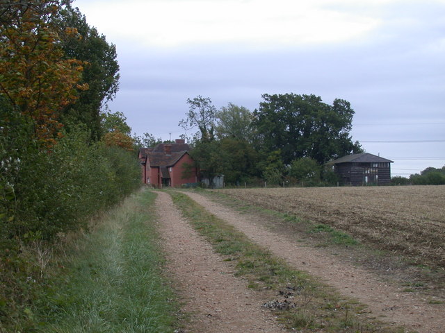
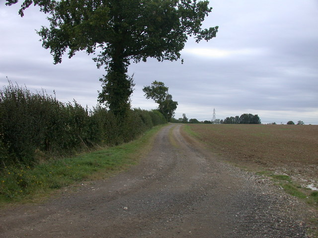
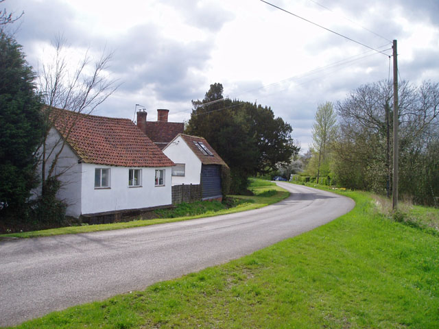
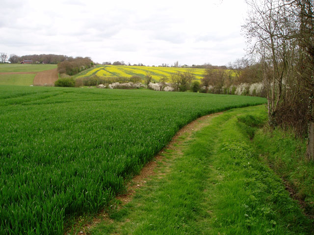
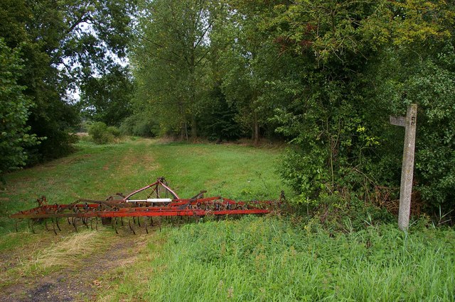
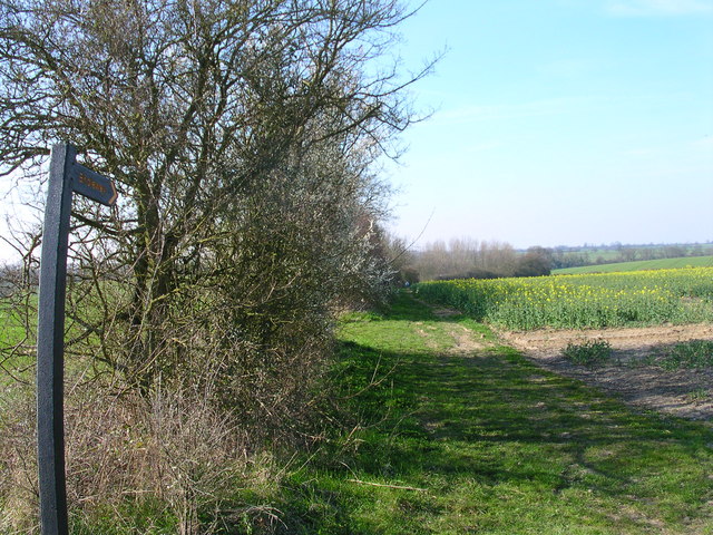
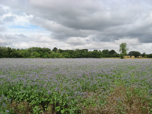
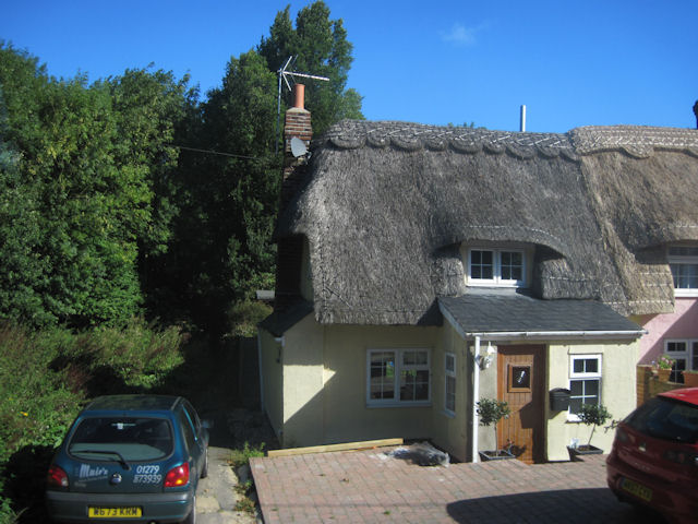
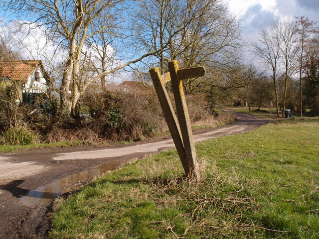
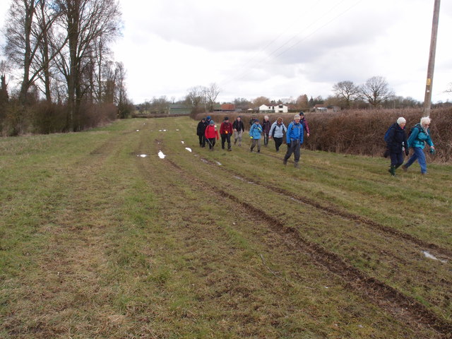
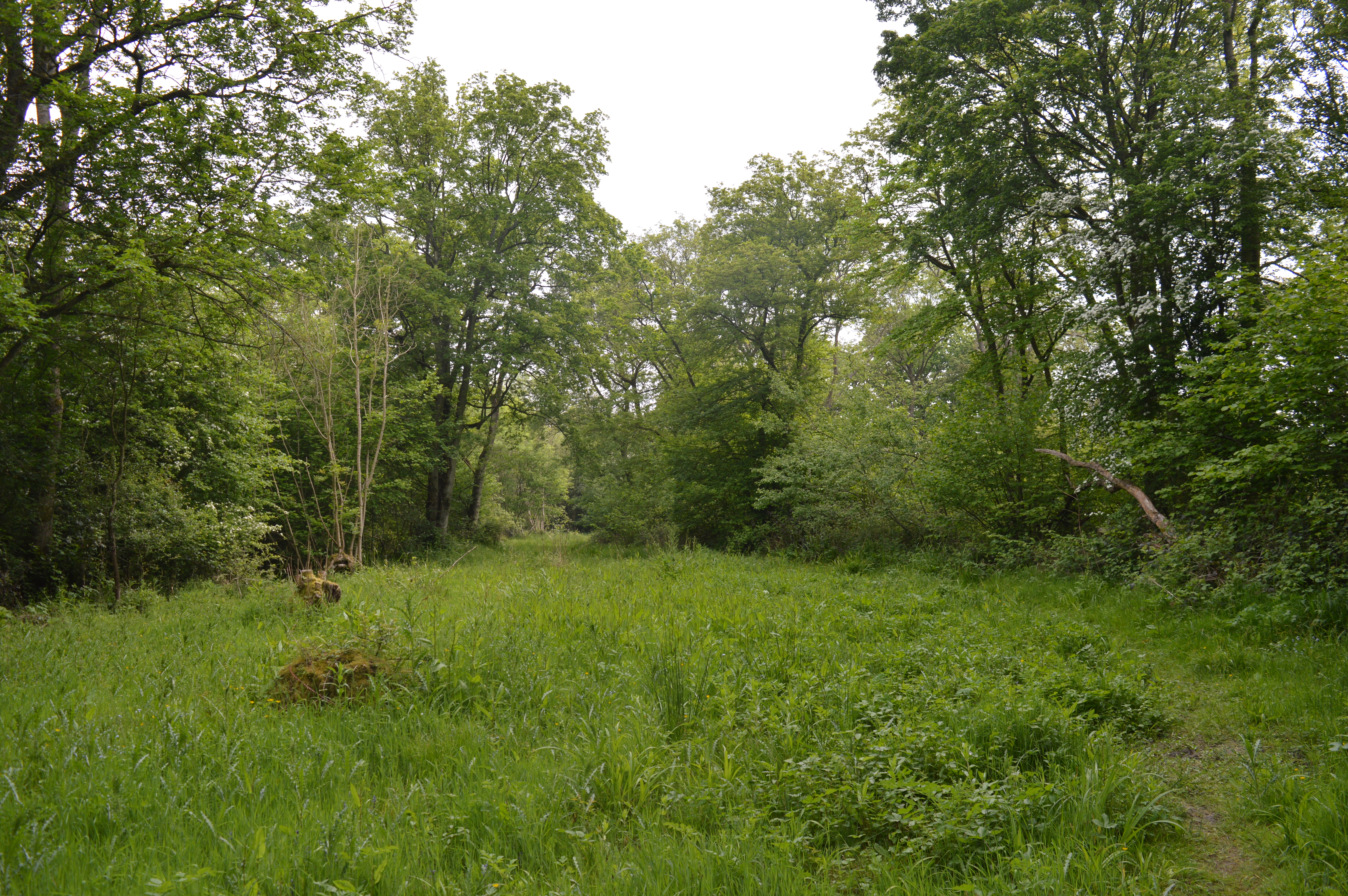
Wimbish Green Images

Images are sourced within 2km of 51.992522/0.333336 or Grid Reference TL6035. Thanks to Geograph Open Source API. All images are credited.

St Mary's church, Radwinter View of the south side showing the fine half-timbered porch.
St Mary's church, Radwinter
View of the south side showing the fine half-timbered porch.
Farm track near Radwinter The track comes from Hill Farm, on the B1053 at TL617371, giving access to several fields. Not marked on the 1940s map.
Farm track near Radwinter
The track comes from Hill Farm, on the B1053 at TL617371, giving access to several fields. Not marked on the 1940s map.
WW2 pillbox near Wimbish Green Situated on a small ridge with a good view over the surrounding countryside on two sides, this pillbox was no doubt built to guard the flank of <a href="https://www.geograph.org.uk/photo/221943">TL6134 : Great Stampford Aerodrome</a>.
WW2 pillbox near Wimbish Green
Situated on a small ridge with a good view over the surrounding countryside on two sides, this pillbox was no doubt built to guard the flank of TL6134 : Great Stampford Aerodrome.
Houses in Wimbish Green This part of the hamlet is called Upper Green, as opposed to Lower Green which is by a stream to the south.
Houses in Wimbish Green
This part of the hamlet is called Upper Green, as opposed to Lower Green which is by a stream to the south.
Bridge over the River Pant near Radwinter In this dry, chalky landscape every little trickle seems to be called a river. The bridge, which carries a public footpath and gives access between two fields, is a rather nice brick arch construction.
Bridge over the River Pant near Radwinter
In this dry, chalky landscape every little trickle seems to be called a river. The bridge, which carries a public footpath and gives access between two fields, is a rather nice brick arch construction.
Great Stampford Aerodrome This bridle path crosses the former Great Stampford Aerodrome. You can see from the picture why this level ground was chosen for an airfield. The runways were made from prefabricated metal tracking so there is no evidence of them now, although the perimeter track is still largely extant. The field was intended as a satellite to RAF Debden but after less than a year's operations Debden was reassigned to the USAAF. The site was then used by the RAF regiment as a training base until 1944. To go to the next field in an alphabetical tour of Essex WW2 airfields click on <a href="https://www.geograph.org.uk/photo/38560">TQ5384 : Swords into Ploughshares</a>. Much information was gleaned from Graham Smith’s book “Essex Airfields In The Second World War”. <span class="nowrap"><a title="https://books.google.co.uk/books/about/Essex_Airfields_in_the_Second_World_War.html?id=u3atAAAACAAJ&redir_esc=y" rel="nofollow ugc noopener" href="https://books.google.co.uk/books/about/Essex_Airfields_in_the_Second_World_War.html?id=u3atAAAACAAJ&redir_esc=y">Link</a><img style="margin-left:2px;" alt="External link" title="External link - shift click to open in new window" src="https://s1.geograph.org.uk/img/external.png" width="10" height="10"/></span>
Great Stampford Aerodrome
This bridle path crosses the former Great Stampford Aerodrome. You can see from the picture why this level ground was chosen for an airfield. The runways were made from prefabricated metal tracking so there is no evidence of them now, although the perimeter track is still largely extant. The field was intended as a satellite to RAF Debden but after less than a year's operations Debden was reassigned to the USAAF. The site was then used by the RAF regiment as a training base until 1944. To go to the next field in an alphabetical tour of Essex WW2 airfields click on TQ5384 : Swords into Ploughshares. Much information was gleaned from Graham Smith’s book “Essex Airfields In The Second World War”. LinkExternal link
The farmhouse at Dove House Farm
Westwood Lodge Contrary to my original titling this is not the grade II listed Friars Farm farmhouse, which is out of sight to the left of the red brick lodge.
Westwood Lodge
Contrary to my original titling this is not the grade II listed Friars Farm farmhouse, which is out of sight to the left of the red brick lodge.
Track of old Roman Road
Upper Green, near Tye Green There are two places called Upper Green marked on the 1:25,000 map within 500 metres of each other. One relates to Wimbish Green and is in TL6035; this one, I presume, belongs to Tye Green to the west. Photo taken at the point where the public footpath leaves the road to the north.
Upper Green, near Tye Green
There are two places called Upper Green marked on the 1:25,000 map within 500 metres of each other. One relates to Wimbish Green and is in TL6035; this one, I presume, belongs to Tye Green to the west. Photo taken at the point where the public footpath leaves the road to the north.
Wheat and oilseed rape, near Wimbish In the foreground, a large field of unripened wheat; in the background the rape is just coming into flower. The River Pant flows in the valley in between.
Wheat and oilseed rape, near Wimbish
In the foreground, a large field of unripened wheat; in the background the rape is just coming into flower. The River Pant flows in the valley in between.
Footpath Wimbish Green This footpath runs from the B184 to Wimbish Green
Footpath Wimbish Green
This footpath runs from the B184 to Wimbish Green
The spot but not interesting enough for a walk.
Borage Field of borage in flower near Howlett End, Essex.
Borage
Field of borage in flower near Howlett End, Essex.
Thatched cottage at Howlett End Lies on the B184 next to the telephone box
Thatched cottage at Howlett End
Lies on the B184 next to the telephone box
Wimbish Green from the air Viewed from a Stansted bound flight from Glasgow.
Wimbish Green from the air
Viewed from a Stansted bound flight from Glasgow.
Concrete marker posts at Lower Green Directional signs in need of a spirit level or at least a man with a tamper.
Concrete marker posts at Lower Green
Directional signs in need of a spirit level or at least a man with a tamper.
Broad sweep of a well maintained Byway Essex & Herts LDWA on a Wednesday social walk starting in Thaxted.
Broad sweep of a well maintained Byway
Essex & Herts LDWA on a Wednesday social walk starting in Thaxted.
Show me another place!

Wimbish Green is located at Grid Ref: TL6035 (Lat: 51.992522, Lng: 0.333336)

Administrative County: Essex

District: Uttlesford

Police Authority: Essex

What 3 Words

///exporters.without.prefect. Near Thaxted, Essex

Nearby Locations

Wimbish Green Lower Green

Related Wikis

Wimbish

Wimbish is a village and civil parish within Uttlesford, in Essex, England. The first recorded mention of the village was in 1042, when it was referred...

RAF Great Sampford

Royal Air Force Great Sampford or more simply RAF Great Sampford is a former Royal Air Force satellite station located 1.7 miles (2.7 km) west of Great...

Radwinter

Radwinter is a village and a civil parish on the B1053 road, in the Uttlesford district of the county of Essex, England. The population in the 2011 census...

West Wood, Little Sampford

West Wood is a 23.6 hectares (58 acres) biological Site of Special Scientific Interest in Little Sampford, north of Thaxted in northwestern Essex. It is...

Nearby Amenities

Located within 500m of 51.992522,0.333336
Power: pole
Lat/Long: 51.9903781/0.3320977
Power: pole
Lat/Long: 51.9897604/0.3310959
Power: pole
Lat/Long: 51.9915211/0.3292036
Power: pole
Lat/Long: 51.9940299/0.338818
Power: pole
Lat/Long: 51.9908769/0.329555
Power: pole
Lat/Long: 51.9922709/0.327723
Power: pole
Lat/Long: 51.9919885/0.3284083
Power: pole
Lat/Long: 51.9902006/0.3299211
Mill House
Man Made: windmill
Lat/Long: 51.9904071/0.336279
Post Box
Collection Times: Mo-Fr 16:00; Sa 11:15
Operator: Royal Mail
Post Box Type: lamp
Ref: CB10 38
Royal Cypher: EIIR
Royal Cypher Wikidata: Q33102113
Source: survey
Lat/Long: 51.992589/0.3383345
Old Phone Box
Booth: K6
Covered: booth
Disused Amenity: telephone
Man Made: telephone_box
Lat/Long: 51.9917444/0.3384865
Veranda Cottage
Building: house
Lat/Long: 51.9909752/0.336731
Ivy Cottage
Building: house
Lat/Long: 51.9910726/0.3369697
Mill Cottage
Building: house
Wikidata: Q26563768
Lat/Long: 51.9911453/0.3374525
Nottages
Building: house
Lat/Long: 51.9909306/0.3383349
Three Chimneys
Building: house
Lat/Long: 51.9913088/0.3388579
Joe on the Donkey
Lat/Long: 51.9915262/0.3386355
Farrowby Cottage
Building: house
Lat/Long: 51.9917045/0.3380961
The Barn
Lat/Long: 51.9906031/0.3363962
Rayments Farm
Lat/Long: 51.994288/0.3370798
Rayments Bungalows
Lat/Long: 51.9943078/0.3357923
Silvia Cottage
Lat/Long: 51.9895594/0.3305038
Melbourne Cottage
Building: house
Lat/Long: 51.9894685/0.330544
Piglets
Lat/Long: 51.994739/0.327635
Great Ley
Building: house
Lat/Long: 51.9949752/0.3296949
Stonnards
Lat/Long: 51.9947126/0.3316341
Mitchells
Lat/Long: 51.993862/0.3343915
Branfield
Building: house
Lat/Long: 51.9933583/0.3327473
The Bungalow
Building: house
Lat/Long: 51.9938075/0.3331845
Docwra House
Building: house
Lat/Long: 51.9935912/0.3330235
Lowal House
Lat/Long: 51.9935267/0.3340535
Farmside
Lat/Long: 51.994559/0.3355689
Barrier: yes
Lat/Long: 51.994665/0.3279642
Crossing
Lat/Long: 51.9940952/0.3335525
The data included in this document is from www.openstreetmap.org. The data is made available under ODbL.

Have you been to Wimbish Green?

Leave your review of Wimbish Green below (or comments, questions and feedback).