Wimbish

Settlement in Essex Uttlesford

England

Wimbish

Thatched Cottages, Radwinter With signature hare finials
Thatched Cottages, Radwinter Credit: Chris Morgan

The requested URL returned error: 429 Too Many Requests

If you have any feedback on the listing, please let us know in the comments section below.
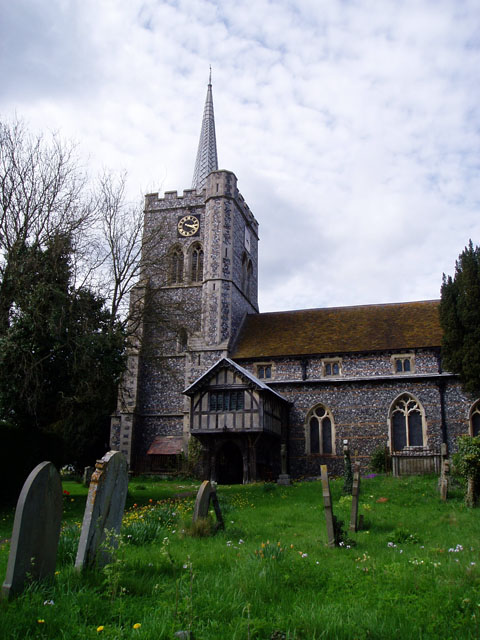
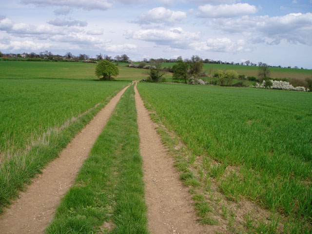
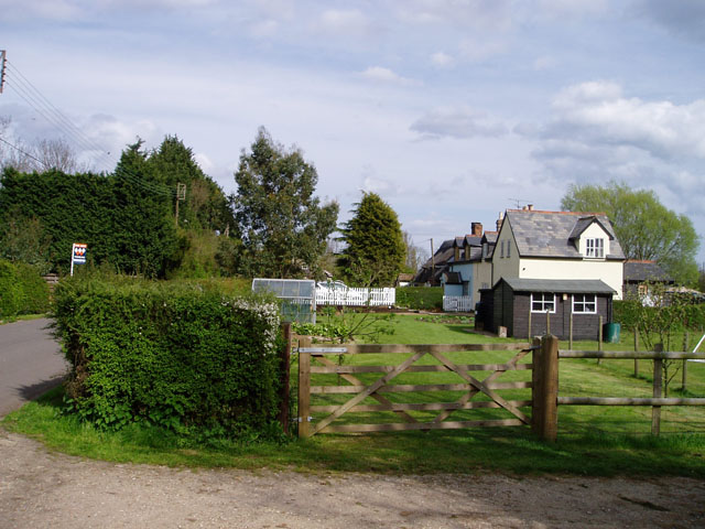
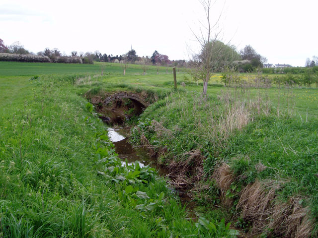
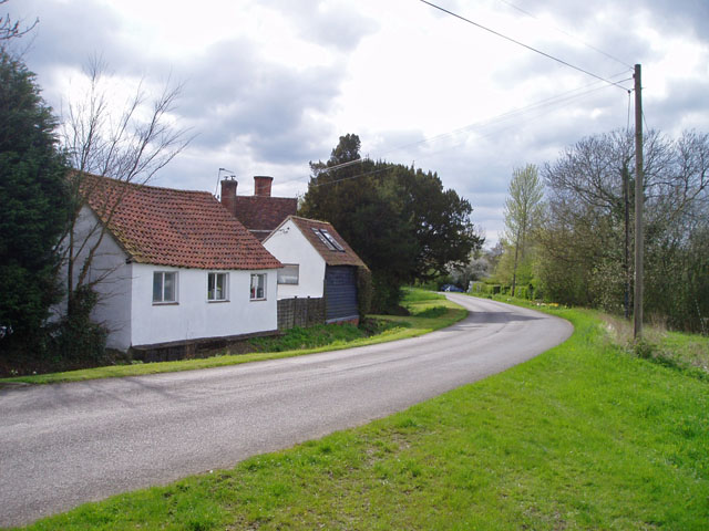
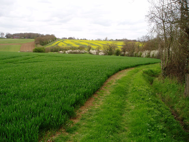
Wimbish Images

Images are sourced within 2km of 52.006136/0.32058998 or Grid Reference TL5936. Thanks to Geograph Open Source API. All images are credited.

Thatched Cottages, Radwinter With signature hare finials
Thatched Cottages, Radwinter
With signature hare finials
St Mary's church, Radwinter
Old Post Office, Radwinter Also the Village Hall
Old Post Office, Radwinter
Also the Village Hall
Radwinter post office This typical Essex building also houses the village hall. The school can be seen in the background, on the right.
Radwinter post office
This typical Essex building also houses the village hall. The school can be seen in the background, on the right.
St Mary's church, Radwinter View of the south side showing the fine half-timbered porch.
St Mary's church, Radwinter
View of the south side showing the fine half-timbered porch.
Farm track near Radwinter The track comes from Hill Farm, on the B1053 at TL617371, giving access to several fields. Not marked on the 1940s map.
Farm track near Radwinter
The track comes from Hill Farm, on the B1053 at TL617371, giving access to several fields. Not marked on the 1940s map.
Houses in Wimbish Green This part of the hamlet is called Upper Green, as opposed to Lower Green which is by a stream to the south.
Houses in Wimbish Green
This part of the hamlet is called Upper Green, as opposed to Lower Green which is by a stream to the south.
Bridge over the River Pant near Radwinter In this dry, chalky landscape every little trickle seems to be called a river. The bridge, which carries a public footpath and gives access between two fields, is a rather nice brick arch construction.
Bridge over the River Pant near Radwinter
In this dry, chalky landscape every little trickle seems to be called a river. The bridge, which carries a public footpath and gives access between two fields, is a rather nice brick arch construction.
The Plough Inn, Radwinter Strategically situated on the crossroads at the edge of the village, this pub serves a wide area of scattered farms and hamlets.
The Plough Inn, Radwinter
Strategically situated on the crossroads at the edge of the village, this pub serves a wide area of scattered farms and hamlets.
Radwinter Churchyard
St Mary the Virgin Radwinter Essex - East end
S Mary the Virgin Radwinter Essex - Chancel
St Mary the Virgin, Radwinter, Essex
St Mary the Virgin, Radwinter, Essex - Porch
A ford in Water Lane
Upper Green, near Tye Green There are two places called Upper Green marked on the 1:25,000 map within 500 metres of each other. One relates to Wimbish Green and is in TL6035; this one, I presume, belongs to Tye Green to the west. Photo taken at the point where the public footpath leaves the road to the north.
Upper Green, near Tye Green
There are two places called Upper Green marked on the 1:25,000 map within 500 metres of each other. One relates to Wimbish Green and is in TL6035; this one, I presume, belongs to Tye Green to the west. Photo taken at the point where the public footpath leaves the road to the north.
Wheat and oilseed rape, near Wimbish In the foreground, a large field of unripened wheat; in the background the rape is just coming into flower. The River Pant flows in the valley in between.
Wheat and oilseed rape, near Wimbish
In the foreground, a large field of unripened wheat; in the background the rape is just coming into flower. The River Pant flows in the valley in between.
All Saints' church, Wimbish, Essex This Norman church once had a west tower but it was taken down in 1883. The chancel was built in 1868.
All Saints' church, Wimbish, Essex
This Norman church once had a west tower but it was taken down in 1883. The chancel was built in 1868.
Show me another place!

Wimbish is located at Grid Ref: TL5936 (Lat: 52.006136, Lng: 0.32058998)

Administrative County: Essex

District: Uttlesford

Police Authority: Essex

What 3 Words

///noun.devalued.piled. Near Saffron Walden, Essex

Nearby Locations

Wimbish George's Wood

Related Wikis

Wimbish

Wimbish is a village and civil parish within Uttlesford, in Essex, England. The first recorded mention of the village was in 1042, when it was referred...

Radwinter

Radwinter is a village and a civil parish on the B1053 road, in the Uttlesford district of the county of Essex, England. The population in the 2011 census...

Sewards End

Sewards End is a village and civil parish in the Uttlesford district of Essex, England. Its area is 1211 acres. It is set in the rolling countryside...

RAF Great Sampford

Royal Air Force Great Sampford or more simply RAF Great Sampford is a former Royal Air Force satellite station located 1.7 miles (2.7 km) west of Great...

Nearby Amenities

Located within 500m of 52.006136,0.32058998
Power: pole
Lat/Long: 52.0038827/0.3195664
Power: pole
Lat/Long: 52.0016436/0.3204006
Power: pole
Lat/Long: 52.0026426/0.32054
Power: pole
Lat/Long: 52.0031892/0.3206125
Power: pole
Lat/Long: 52.0031091/0.3179276
Power: pole
Lat/Long: 52.0046018/0.3181529
Power: pole
Lat/Long: 52.0027566/0.3171913
Power: pole
Lat/Long: 52.0064651/0.3178511
Power: pole
Lat/Long: 52.003512/0.3187953
Power: pole
Lat/Long: 52.0055017/0.3179973
Power: pole
Lat/Long: 52.010071/0.3172436
Power: pole
Lat/Long: 52.009163/0.3173925
Power: pole
Lat/Long: 52.0082442/0.3175575
Power: pole
Lat/Long: 52.0073576/0.3177077
Power: pole
Lat/Long: 52.0069654/0.3266153
Power: pole
Lat/Long: 52.0073485/0.3252956
Power: pole
Lat/Long: 52.0077348/0.3240055
Power: pole
Lat/Long: 52.008278/0.3222996
Power: pole
Lat/Long: 52.0087651/0.3205937
Power: pole
Lat/Long: 52.0092538/0.3189415
Power: pole
Lat/Long: 52.0094865/0.3174958
Power: pole
Lat/Long: 52.0096549/0.3165141
Bench
Backrest: yes
Material: wood
Seats: 3
Lat/Long: 52.0077314/0.3155671
Bench
Material: wood
Seats: 3
Lat/Long: 52.0077295/0.3155347
Bench
Backrest: yes
Material: wood
Seats: 2
Lat/Long: 52.0079155/0.3149114
The data included in this document is from www.openstreetmap.org. The data is made available under ODbL.

Have you been to Wimbish?

Leave your review of Wimbish below (or comments, questions and feedback).