Wimblebury

Settlement in Staffordshire Cannock Chase

England

Wimblebury

OS benchmark - Five Ways Inn Much abused, and filled (rather shonkily, frankly) with mortar after a recent repointing of the wall. The mark was last levelled by the OS in 1963 at 180.62m above Ordnance Datum Newlyn, but it's shown on the map of 1902 at 601.4ft Liverpool datum.
OS benchmark - Five Ways Inn Credit: Richard Law

Wimblebury is a small village located in the county of Staffordshire, in the West Midlands region of England. Situated approximately 2 miles east of Cannock town, Wimblebury is nestled amidst picturesque countryside and enjoys a peaceful rural setting.

The village is primarily residential, consisting of a mixture of housing styles ranging from traditional cottages to modern estates. Wimblebury boasts a close-knit community, with a population of around 3,000 residents. The village is known for its friendly atmosphere and sense of community spirit.

Despite its small size, Wimblebury offers a range of amenities to cater to its residents' needs. These include a local convenience store, a post office, and a handful of independent shops. The village also benefits from a primary school, which serves the educational needs of the local children.

Wimblebury is surrounded by beautiful natural landscapes, making it an ideal location for outdoor enthusiasts. The nearby Cannock Chase, an Area of Outstanding Natural Beauty, provides ample opportunities for walking, cycling, and horse riding. The village is also conveniently located near the A5 road and has good transport links to nearby towns and cities.

In summary, Wimblebury is a charming village in Staffordshire, offering a peaceful and close-knit community. With its range of amenities and proximity to stunning natural landscapes, it provides an attractive living environment for its residents.

If you have any feedback on the listing, please let us know in the comments section below.
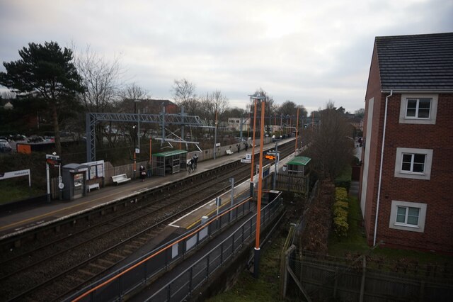
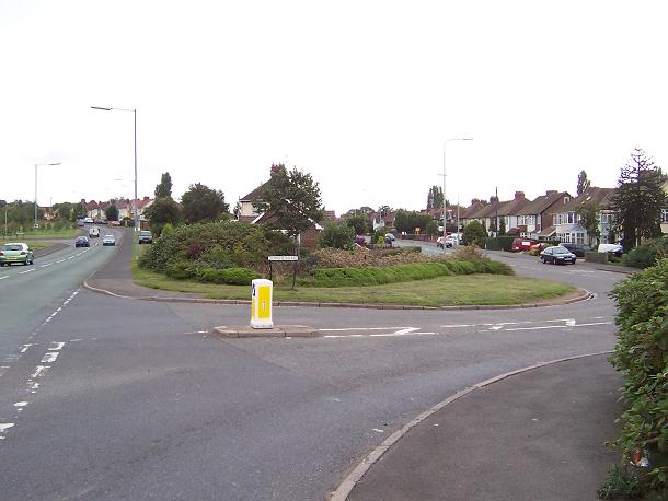
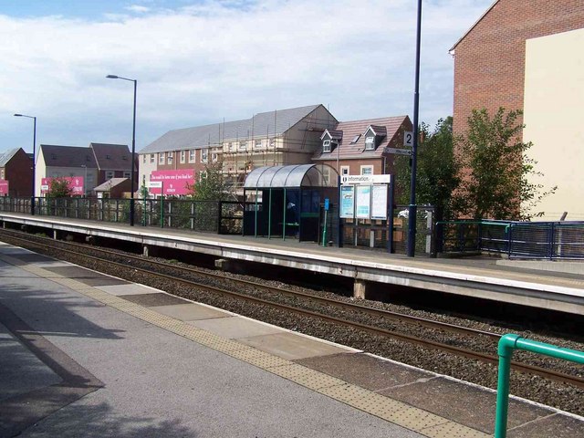
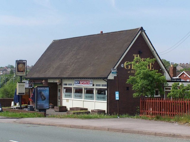
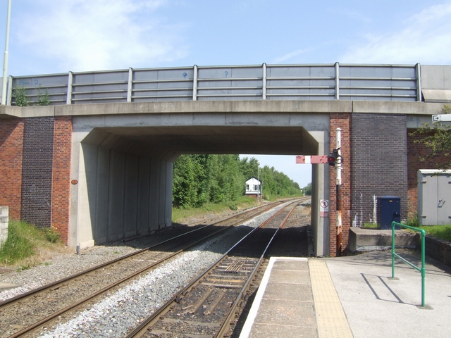
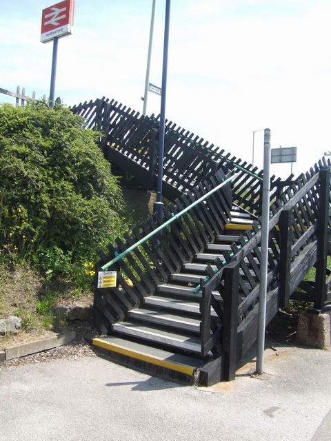
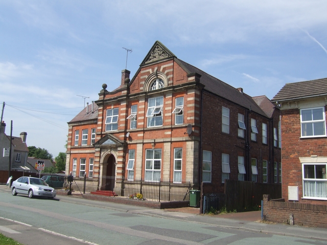
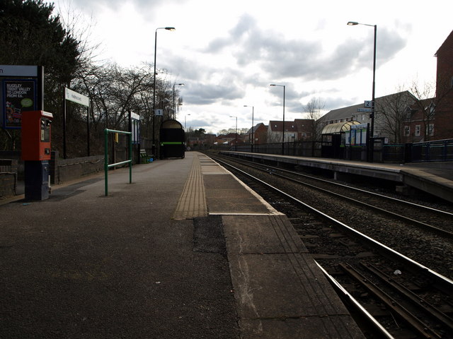
Wimblebury Images

Images are sourced within 2km of 52.700695/-1.9773752 or Grid Reference SK0111. Thanks to Geograph Open Source API. All images are credited.

OS benchmark - Five Ways Inn Much abused, and filled (rather shonkily, frankly) with mortar after a recent repointing of the wall. The mark was last levelled by the OS in 1963 at 180.62m above Ordnance Datum Newlyn, but it's shown on the map of 1902 at 601.4ft Liverpool datum.
OS benchmark - Five Ways Inn
Much abused, and filled (rather shonkily, frankly) with mortar after a recent repointing of the wall. The mark was last levelled by the OS in 1963 at 180.62m above Ordnance Datum Newlyn, but it's shown on the map of 1902 at 601.4ft Liverpool datum.
Fiveways Inn Pit village hostelry.
Fiveways Inn
Pit village hostelry.
Heath Hayes Memorial War memorial gates to Heath Hayes Park.
Heath Hayes Memorial
War memorial gates to Heath Hayes Park.
Old Direction Sign - Signpost by the A5190, Cannock Road, Heath Hayes Ball finial - 4 arms; Staffs ball by the A5190/B4154, in parish of Brownhills (Walsall District), Heath Hayes, junction of Cannock Road with Wimblebury Road, Norton Road and Hednesford Road, on middle of roundabout.

Staffordshire HER
HER Number: 55995 <span class="nowrap"><a title="https://www.heritagegateway.org.uk/Gateway/Results_Single.aspx?uid=MST20113&resourceID=1010" rel="nofollow ugc noopener" href="https://www.heritagegateway.org.uk/Gateway/Results_Single.aspx?uid=MST20113&resourceID=1010">Link</a><img style="margin-left:2px;" alt="External link" title="External link - shift click to open in new window" src="https://s1.geograph.org.uk/img/external.png" width="10" height="10"/></span>

To be surveyed

Milestone Society National ID: ST_SK0109
Old Direction Sign - Signpost by the A5190, Cannock Road, Heath Hayes
Ball finial - 4 arms; Staffs ball by the A5190/B4154, in parish of Brownhills (Walsall District), Heath Hayes, junction of Cannock Road with Wimblebury Road, Norton Road and Hednesford Road, on middle of roundabout. Staffordshire HER HER Number: 55995 LinkExternal link To be surveyed Milestone Society National ID: ST_SK0109
Top field dog walk Half way on the dog walk trail North of Norton Canes school, this is our 40 minute walk, not unusual to see the deer herd here.
Top field dog walk
Half way on the dog walk trail North of Norton Canes school, this is our 40 minute walk, not unusual to see the deer herd here.
Hednesford Railway Station
East Cannock The junction of East Cannock Road (A460) and Lower Road.
East Cannock
The junction of East Cannock Road (A460) and Lower Road.
Hednesford Station Opened in 1989, trains operated by Central Trains run between Birmingham and Rugeley
Hednesford Station
Opened in 1989, trains operated by Central Trains run between Birmingham and Rugeley
The Globe, Hednesford
Looking north from Hednesford Station A new bridge adjacent to the station on the Stafford to Walsall line.
Looking north from Hednesford Station
A new bridge adjacent to the station on the Stafford to Walsall line.
Steps at Hednesford Station
Anglesey Court, Hednesford Built in 1912 and recently converted into flats. The Marquis of Anglesey was the major landowner in the area.
Anglesey Court, Hednesford
Built in 1912 and recently converted into flats. The Marquis of Anglesey was the major landowner in the area.
Hednesford Railway Station, looking towards Cannock.
ATS Garage, 'Five Ways' Island on A5190
B4154 Towards 'Five Ways' Island
Newlands Lane, Heath Hayes Just out of the picture, the road is blocked with a metal barrier.
Newlands Lane, Heath Hayes
Just out of the picture, the road is blocked with a metal barrier.
The Five Ways Inn, Heath Hayes
Carpet store, Heath Hayes
Show me another place!

Wimblebury is located at Grid Ref: SK0111 (Lat: 52.700695, Lng: -1.9773752)

Administrative County: Staffordshire

District: Cannock Chase

Police Authority: Staffordshire

What 3 Words

///random.crisis.beams. Near Norton Canes, Staffordshire

Nearby Locations

Wimblebury

Related Wikis

Littleworth, Cannock

Littleworth is an area of Cannock Chase District, Staffordshire, England. The area is mainly residential and industrial. It is located between Wimblebury...

Heath Hayes and Wimblebury

Heath Hayes and Wimblebury is a civil parish in the Cannock Chase District of Staffordshire, England. It comprises the once separate villages of Heath...

Keys Park

Keys Park, which is currently known as The PRG Roofing and Construction ground, is the home of the Hednesford Town Football Club, and is situated on Keys...

Hednesford Hills Raceway

Hednesford Hills Raceway (often referred to as Hednesford Raceway) is an oval, short-circuit motor racing venue. It is situated on Cannock Chase, approximately...

Nearby Amenities

Located within 500m of 52.700695,-1.9773752
Wimblebury
Place: village
Lat/Long: 52.7000958/-1.9779513
Bus Stop
Community Hall
Bus: yes
Naptan AtcoCode: 3800C205900
Naptan Bearing: N
Naptan CommonName: Community Hall
Naptan Indicator: Opp
Naptan Landmark: Community Hall
Naptan Street: Wimblebury Road
Naptan Verified: no
Public Transport: platform
Source: naptan_import
Lat/Long: 52.6994628/-1.9773883
Bus Stop
Community Hall
Bus: yes
Naptan AtcoCode: 3800C205901
Naptan Bearing: S
Naptan CommonName: Community Hall
Naptan Indicator: Adj
Naptan Landmark: Community Hall
Naptan Street: Wimblebury Road
Naptan Verified: no
Public Transport: platform
Source: naptan_import
Lat/Long: 52.6994717/-1.9771515
Bus Stop
Sycamore Road
Bus: yes
Naptan AtcoCode: 3800C227101
Naptan Bearing: S
Naptan CommonName: Sycamore Road
Naptan Indicator: Adj
Naptan Landmark: Sycamore Road
Naptan Street: John Street
Naptan Verified: no
Public Transport: platform
Source: naptan_import
Lat/Long: 52.7014315/-1.9773724
Bus Stop
Arthur Street
Bus: yes
Naptan AtcoCode: 3800C227102
Naptan Bearing: N
Naptan CommonName: Arthur Street
Naptan Indicator: Adj
Naptan Landmark: Arthur Street
Naptan Street: John Street
Naptan Verified: no
Public Transport: platform
Source: naptan_import
Lat/Long: 52.7013507/-1.9775797
Bus Stop
Kings Croft
Bus: yes
Naptan AtcoCode: 3800C227201
Naptan Bearing: N
Naptan CommonName: Kings Croft
Naptan Indicator: Adj
Naptan Landmark: Kings Croft
Naptan Street: Wimblebury Road
Naptan Verified: no
Public Transport: platform
Source: naptan_import
Lat/Long: 52.7042365/-1.9778446
Post Office
Wimblebury Post Office
Addr Country: GB
Addr Postcode: WS12 2RJ
Brand: Post Office
Brand Wikidata: Q1783168
Contact Website: https://www.postoffice.co.uk/branch-finder/2252422/wimblebury
Ref Pol Id: 8515
Lat/Long: 52.7004922/-1.9776848
Turning Circle
Source: bing
Lat/Long: 52.7005444/-1.9741702
Noexit: yes
Lat/Long: 52.704524/-1.9755929
Noexit: yes
Lat/Long: 52.7042481/-1.975477
Generator Method: photovoltaic
Generator Output Electricity: yes
Generator Source: solar
Generator Type: solar_photovoltaic_panel
Location: roof
Power: generator
Lat/Long: 52.704579/-1.9788319
Generator Method: photovoltaic
Generator Output Electricity: yes
Generator Source: solar
Generator Type: solar_photovoltaic_panel
Location: roof
Power: generator
Lat/Long: 52.7047821/-1.9781908
Generator Method: photovoltaic
Generator Output Electricity: yes
Generator Source: solar
Generator Type: solar_photovoltaic_panel
Location: roof
Power: generator
Lat/Long: 52.7048/-1.9780245
Generator Method: photovoltaic
Generator Output Electricity: yes
Generator Source: solar
Generator Type: solar_photovoltaic_panel
Location: roof
Power: generator
Lat/Long: 52.7014592/-1.9765654
Crossing
Crossing: uncontrolled
Source: bing
Lat/Long: 52.7011496/-1.9774117
Generator Method: photovoltaic
Generator Output Electricity: yes
Generator Source: solar
Generator Type: solar_photovoltaic_panel
Location: roof
Power: generator
Lat/Long: 52.6989456/-1.9783276
Generator Method: photovoltaic
Generator Output Electricity: yes
Generator Source: solar
Generator Type: solar_photovoltaic_panel
Location: roof
Power: generator
Lat/Long: 52.6971511/-1.9779173
Generator Method: photovoltaic
Generator Output Electricity: yes
Generator Source: solar
Generator Type: solar_photovoltaic_panel
Location: roof
Power: generator
Lat/Long: 52.700558/-1.9830215
Generator Method: photovoltaic
Generator Output Electricity: yes
Generator Source: solar
Generator Type: solar_photovoltaic_panel
Location: roof
Power: generator
Lat/Long: 52.7006669/-1.9832361
Generator Method: photovoltaic
Generator Output Electricity: yes
Generator Source: solar
Generator Type: solar_photovoltaic_panel
Location: roof
Power: generator
Lat/Long: 52.7007286/-1.9833273
Generator Method: photovoltaic
Generator Output Electricity: yes
Generator Source: solar
Generator Type: solar_photovoltaic_panel
Location: roof
Power: generator
Lat/Long: 52.7011187/-1.9827667
Generator Method: photovoltaic
Generator Output Electricity: yes
Generator Source: solar
Generator Type: solar_photovoltaic_panel
Location: roof
Power: generator
Lat/Long: 52.7033389/-1.9753692
Historic: memorial
Lat/Long: 52.7001963/-1.9771434
Waste Basket
Waste: trash
Lat/Long: 52.6979053/-1.9765648
Cannel Mount
Information: board
Tourism: information
Lat/Long: 52.6979146/-1.976548
Artwork Subject: Squirral
Artwork Type: sculpture
Material: wood
Tourism: artwork
Lat/Long: 52.698113/-1.9753785
The data included in this document is from www.openstreetmap.org. The data is made available under ODbL.

Have you been to Wimblebury?

Leave your review of Wimblebury below (or comments, questions and feedback).